Despite the fact the Canyon isn’t my favorite kind of landscape, it was still a photographer’s dream. Paring down images for this post was extremely difficult, but I did my best. Several “rim shots” make up the beginning of the photo gallery.
I walked a good portion of the Rim Trail but another highlight of the visit was a short hike below the rim on the South Kaibab (“KIE-bab”) trail. It was quite challenging for me not just physically but also because I’m acrophobic. My plan was to get to a place called Cedar Ridge but at one point short of that goal, I had pretty much decided to turn around because of intimidating, sheer drops on both sides of this particular trail section. With the encouragement of a few fellow hikers, however, I made it down. [I met a number of nice and interesting people, including a young German man who was cycling across the U.S., some young people from my hometown of St. Louis, MO, a few young ladies one of whom offered to take some pix of me, and a small crowd with whom I exchanged “encouragements” to finish out the journey up]. The climb out was an “adventure”, too. I should have waited at least another day to attempt this as I had not felt well the day before and knew I had been dehydrated. I started drinking Gatorade that day before to counter it and continued taking in Gatorade, along with water, the morning of the hike and during it. Unfortunately, that was not sufficient. At one point on the way back up, when I was standing in a (rare) shady spot resting, I started feeling dizzy and nauseated. I sat down for at least 20 minutes, eating snacks and drinking. It was a relief when I started feeling better and could continue up. “Up” is the key word. The hike to Cedar Ridge is only 3 miles roundtrip but that includes an elevation change of 1,120 feet. And, of course, it was quite hot. I was thankful when I finally made it to the top. [It was very sobering to hear the news later that, on the same day as my hike, a woman in her early forties had hiked down the other below-the-rim trail, Bright Angel, all the way to the Colorado River (15+ mi roundtrip). On her return, three miles from the rim, she passed away. Of course, she had hiked considerably further than I did, but this shows how seriously dangerous Canyon hikes can be.] It ended up that I felt good enough afterwards to ride the shuttle to another overlook and walk around for a bit (and visited with a nice French couple from Switzerland). I rested the next day and then left the area the following day.
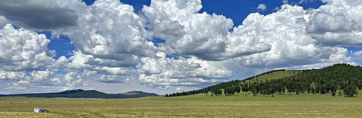
On the recommendation of two friends, for my South Rim visit, I had boondocked on “Long Jim Loop”. It’s adjacent to the little town of Tusayan, but there are not many amenities for nomads except expensive gas. I suggest arriving already supplied from Williams or Flagstaff. Long Jim Loop’s many spots are mostly close to the road but are mostly flat and nice with shade trees. The road is fairly busy but quiet at night. Despite the amenities lacking in the area, you just cannot beat the proximity to the Canyon’s south entrance. I highly recommend this location.


Love the pictures. Enjoyed your trip to the Grand Canyon better than my visit a few years ago.
Oh, that’s nice of you, June! : )
Enjoyed your trip better than my trip a few years ago.