ND & SD travel featuring Hugh Glass Lake

NORTH DAKOTA/SOUTH DAKOTA. AUGUST.

As I headed south through North Dakota, I found a nice little camping area provided by the Lions Club in Bowman, ND, with bathrooms & a dump station. They asked for a $12 donation. It was an easy stop for the night. I had heard of civic groups providing spots for travelers, but this was a first for me.

Next, I headed into South Dakota and camped at Hugh Glass Lake. At the time, the camping was free, but I just read they are now charging $16.91/night (a strange amount!). I did not know until I spoke with a couple camping next to me that Hugh Glass is the man about which “The Revenant” was made. I haven’t seen this film, but I understand his is a remarkable story of survival.

The nearby town of Lemmon SD, made for an interesting visit with its petrified wood park, and artistic murals and sculptures.

(see photo captions for more info)

Travel through MT & ND, including “Pompey’s Pillar”

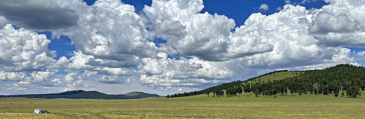
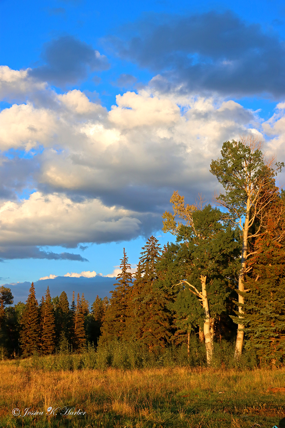
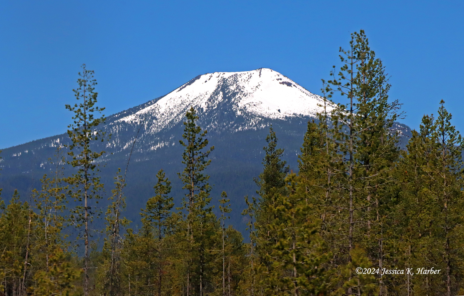
MONTANA/IDAHO. AUGUST.

Our travels continued through Montana and then I decided to head to Theodore Roosevelt National Park in North Dakota.

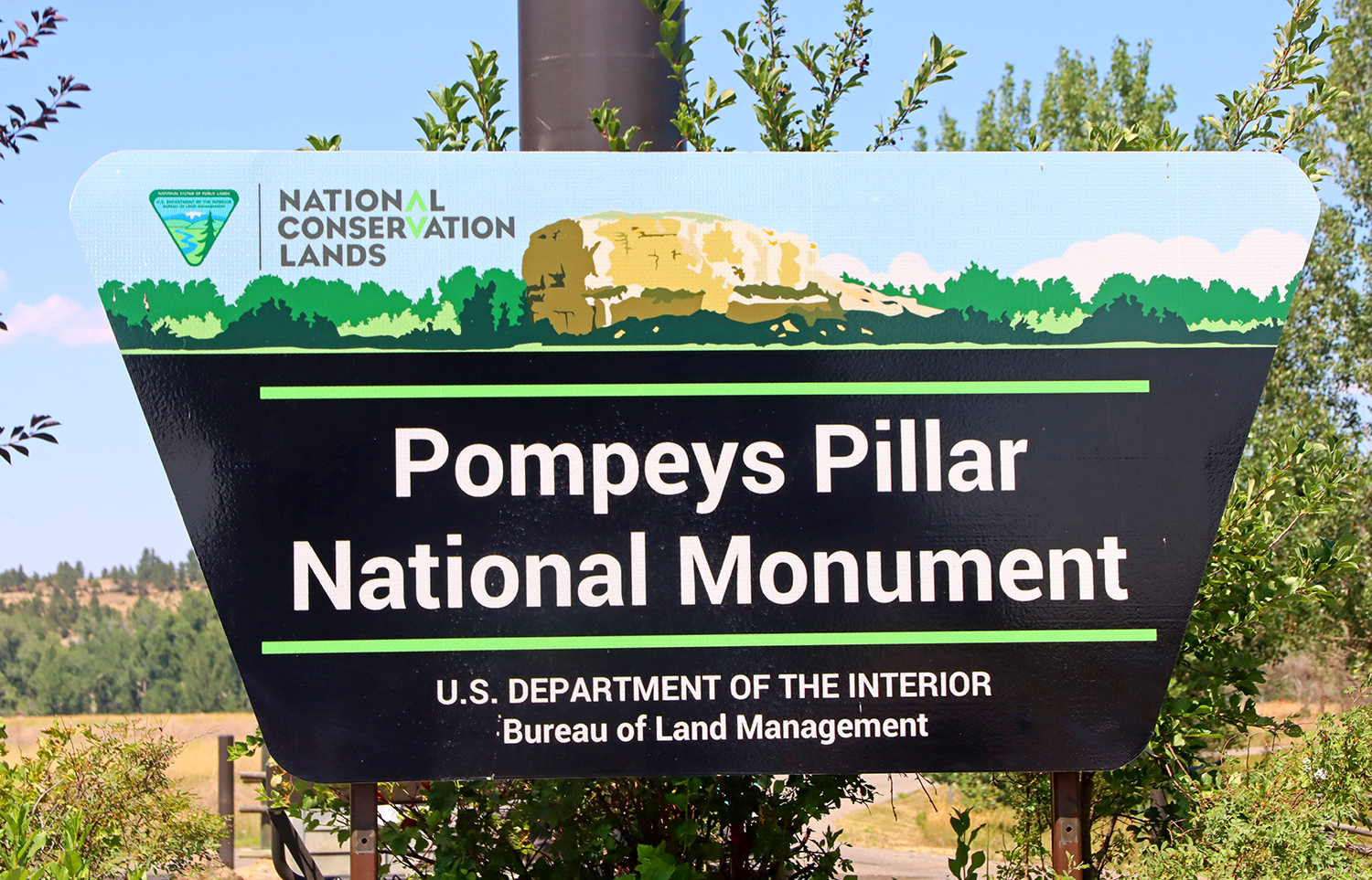
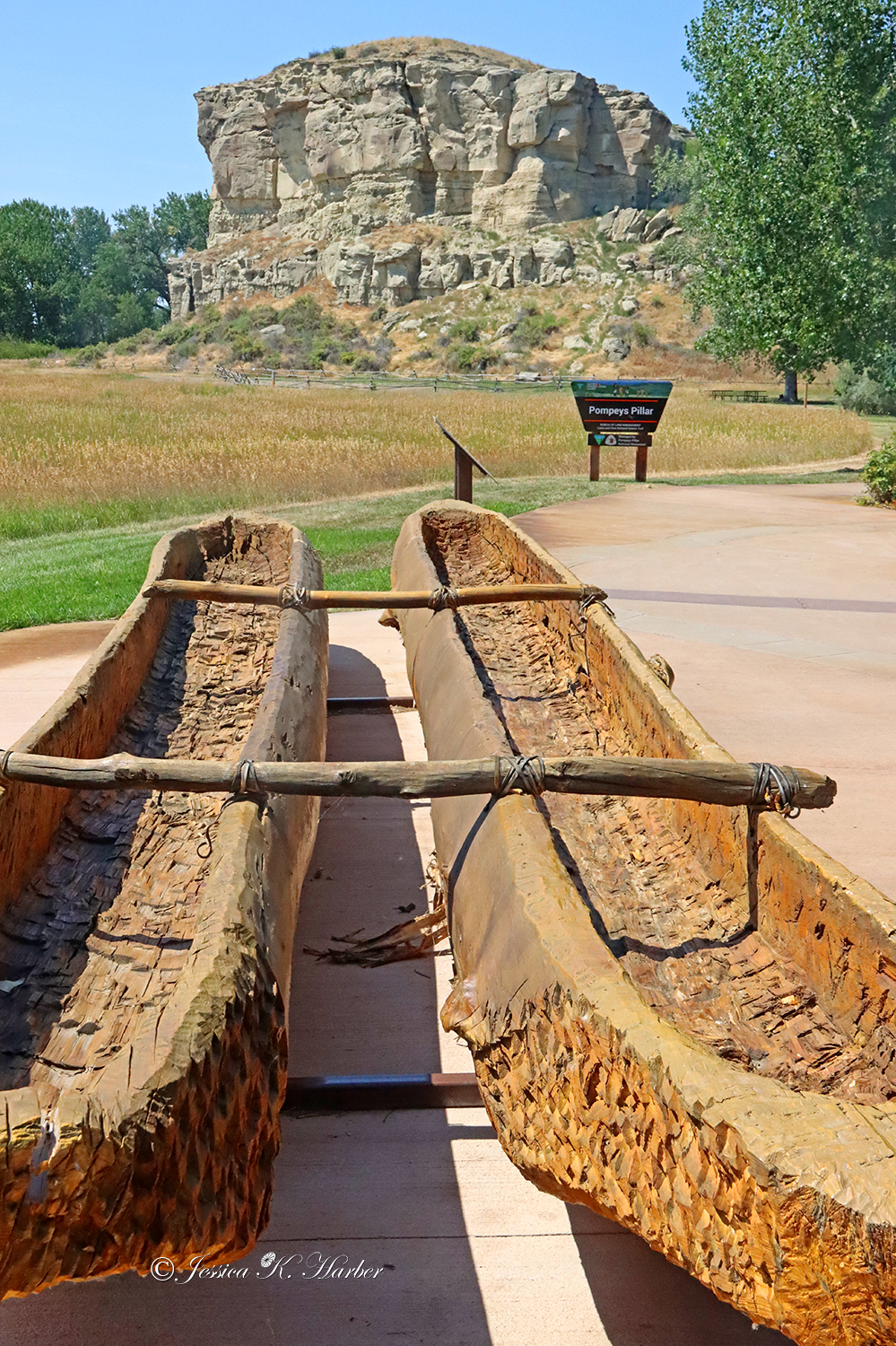
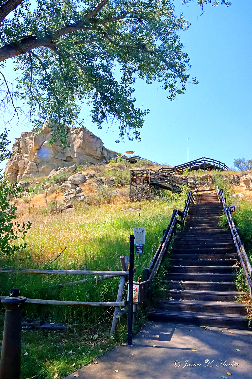
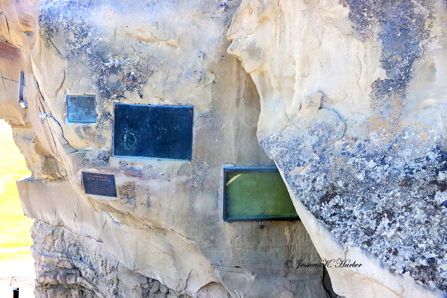
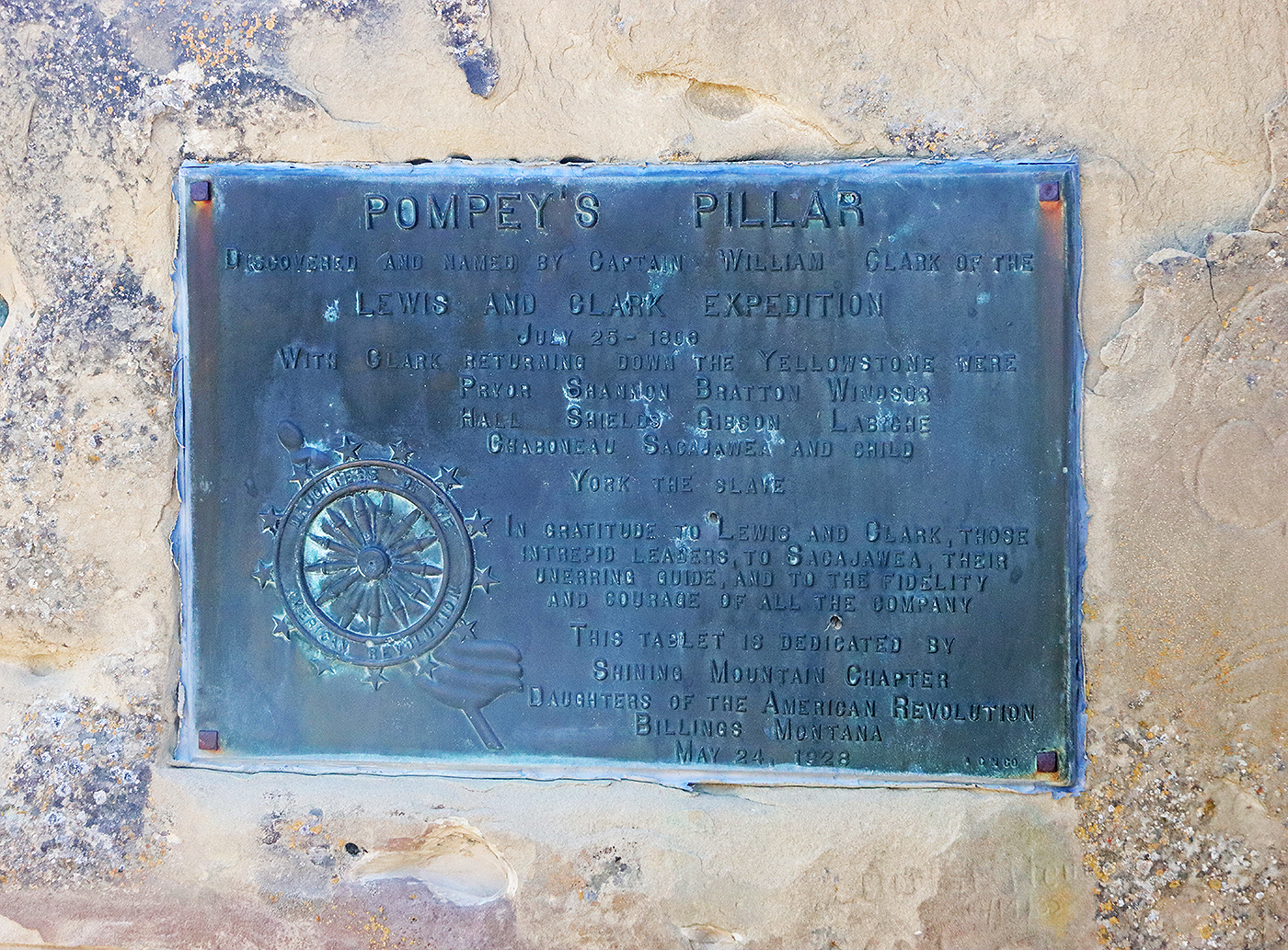
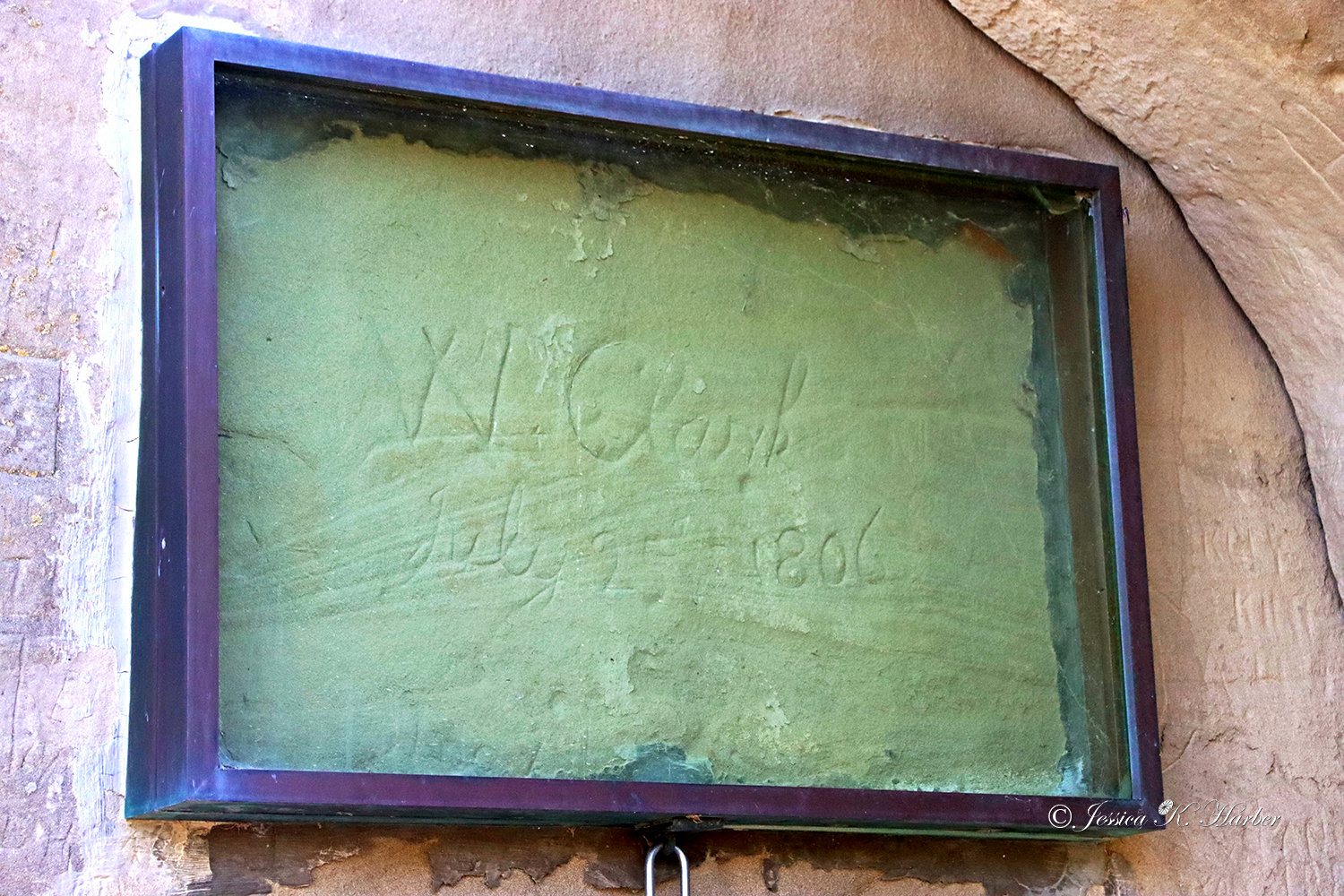
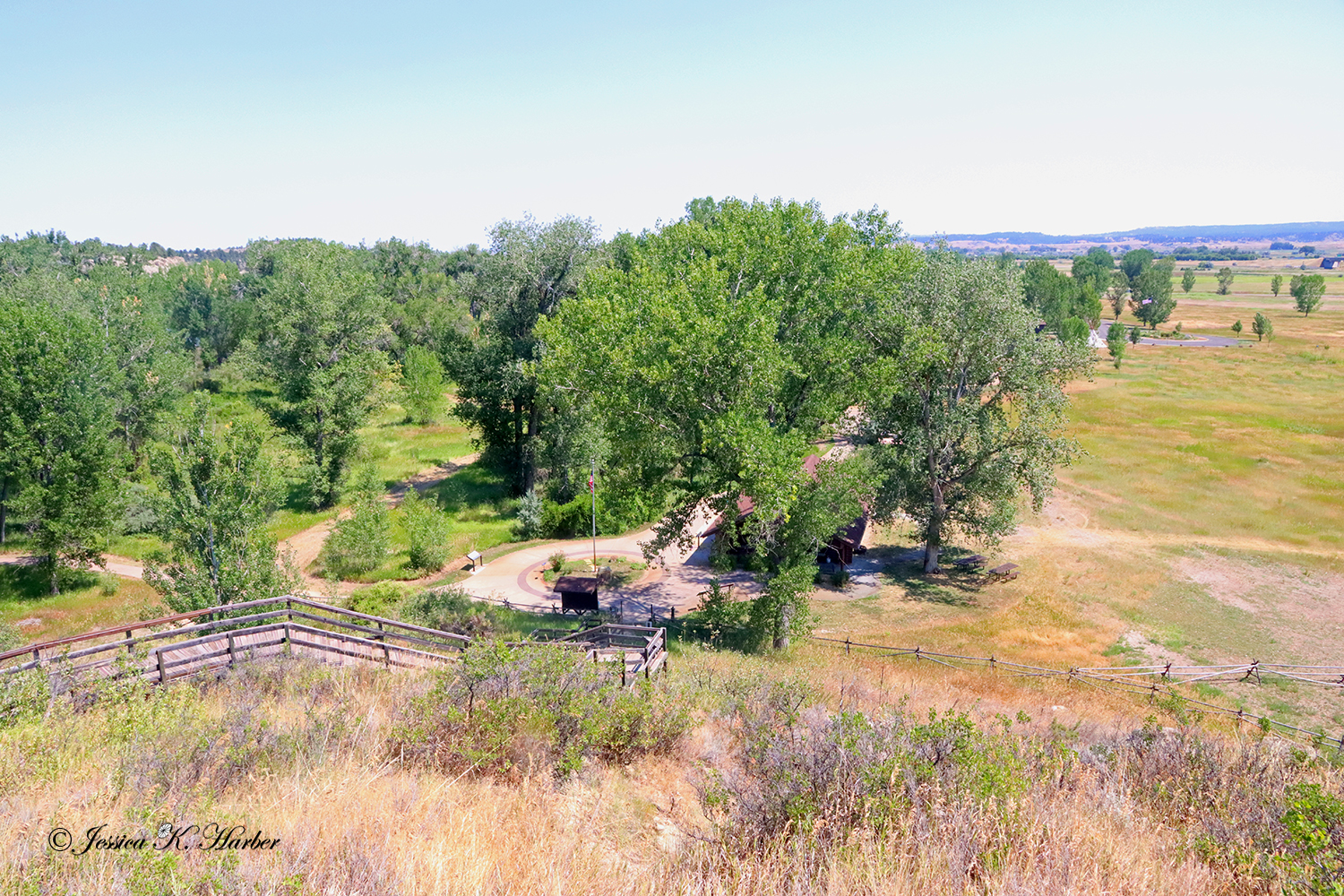
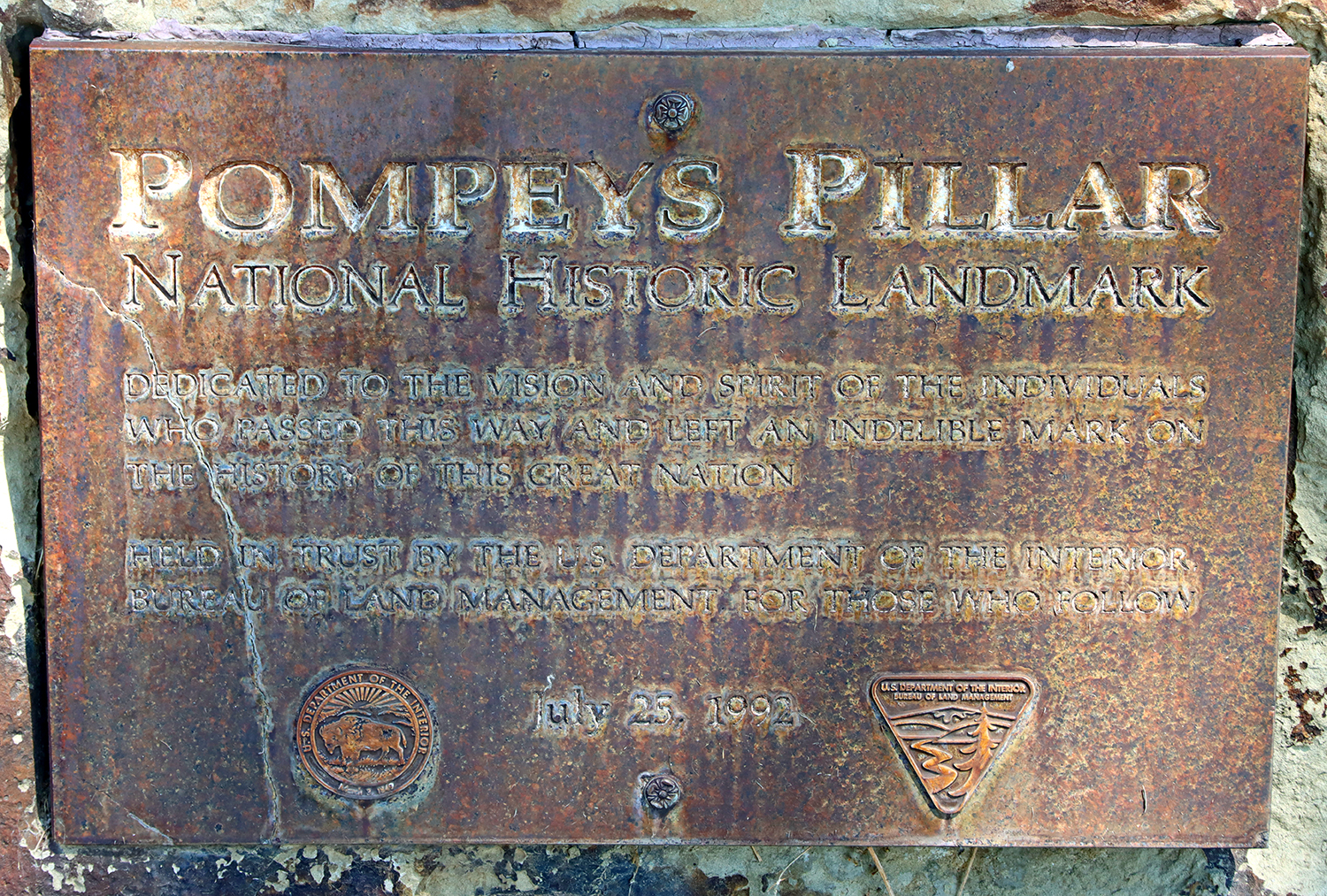
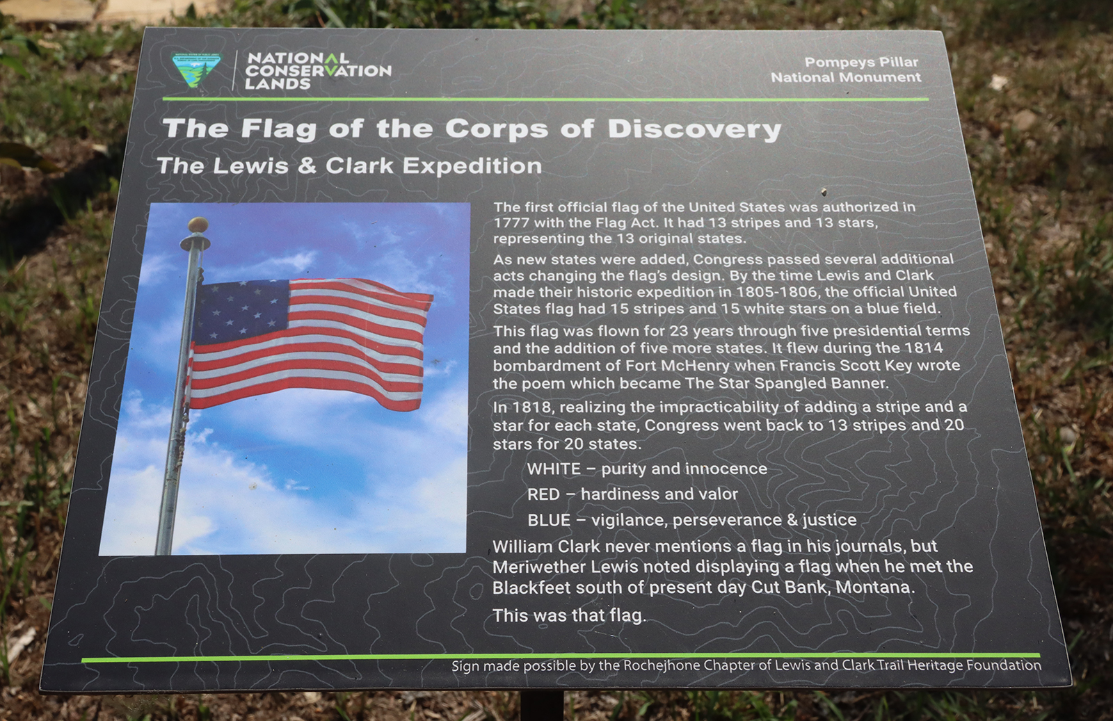
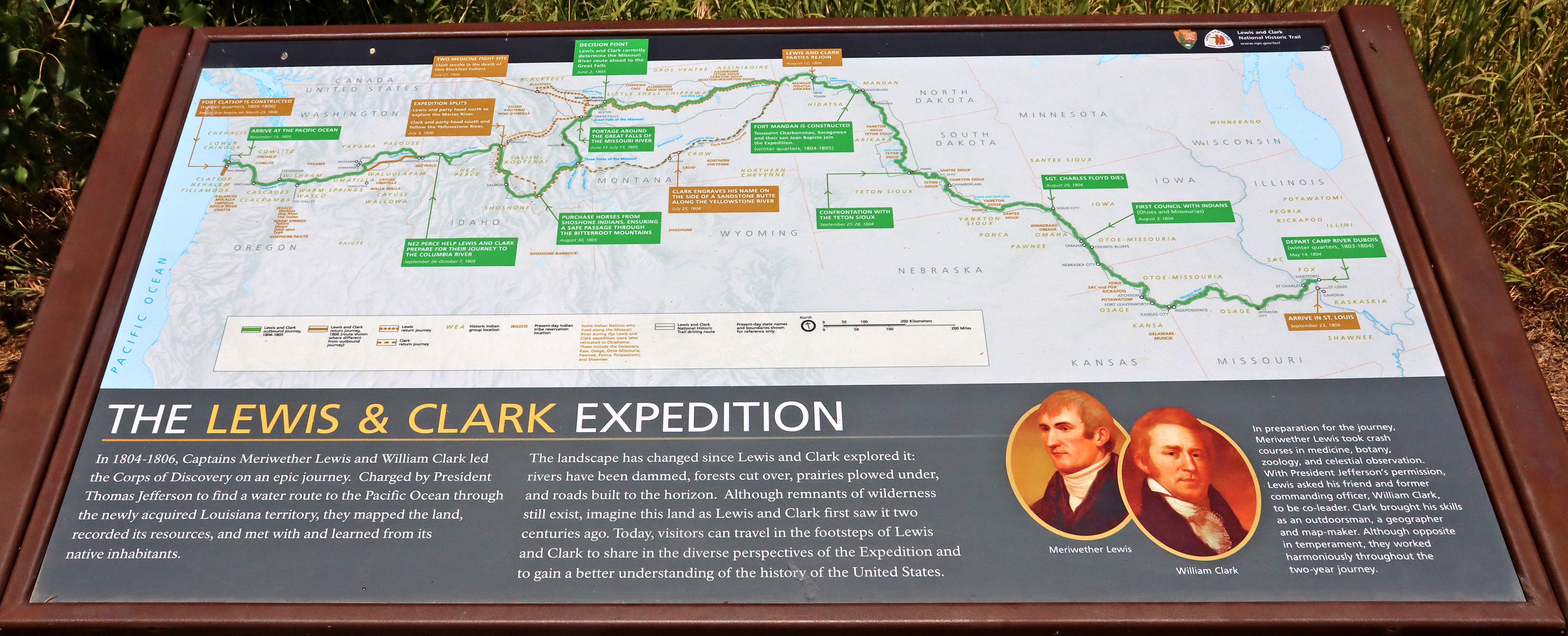
Along I-94, I made another spontaneous stop – this time at the Bureau of Land Management’s “Pompeys Pillar National Monument”. Pompeys Pillar, a large sandstone outcrop, boasts an engraved signature by William Clark* of the famous Lewis & Clark explorer duo. His signature is said to be the only visible physical evidence of the expedition on their trail. Also online: “The area has been a landmark for Native American tribes for thousands of years, and the pillar is covered in numerous petroglyphs, carvings, and inscriptions from many peoples. ” The visitor’s center and grounds are very well done.

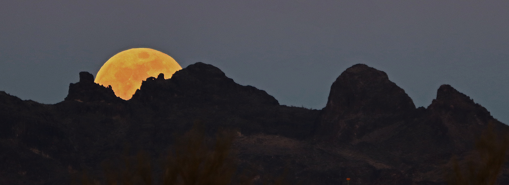
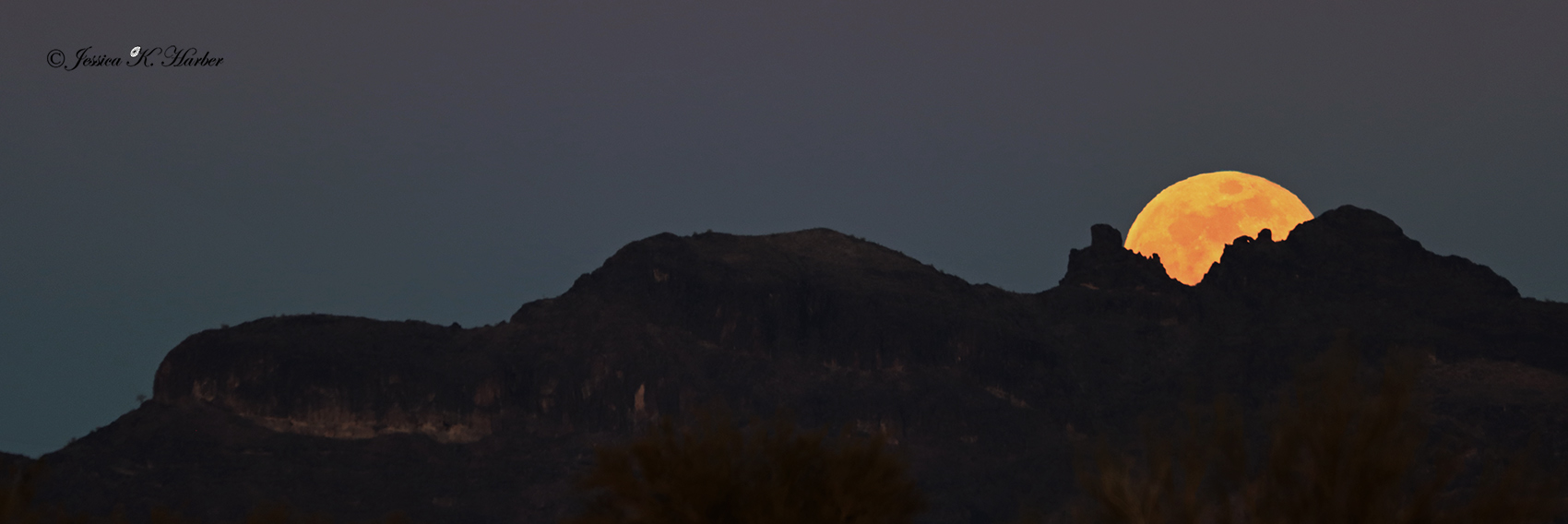
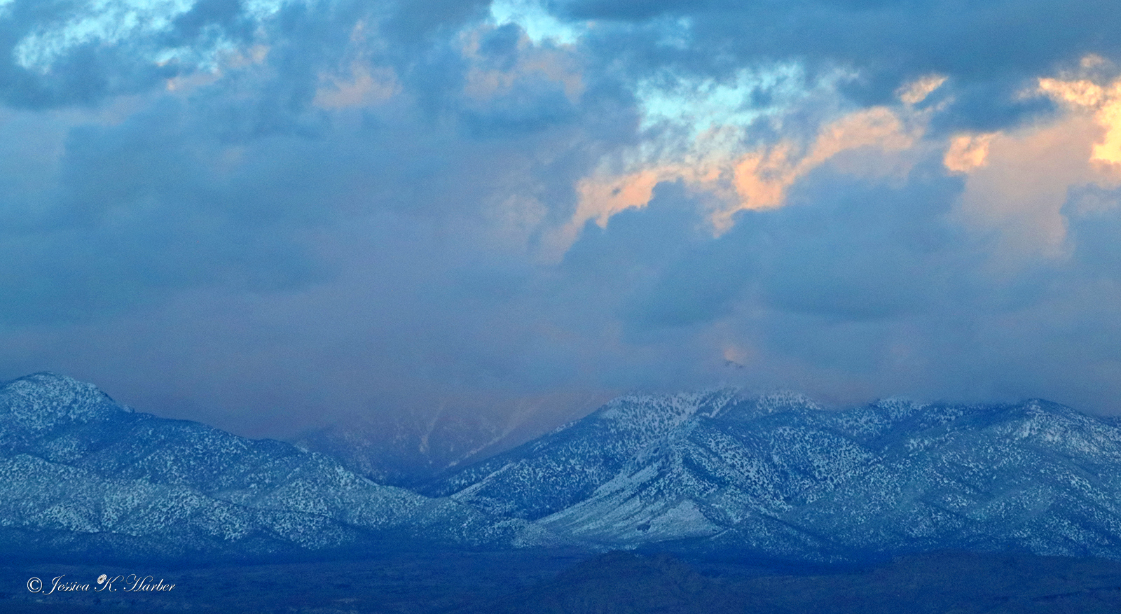
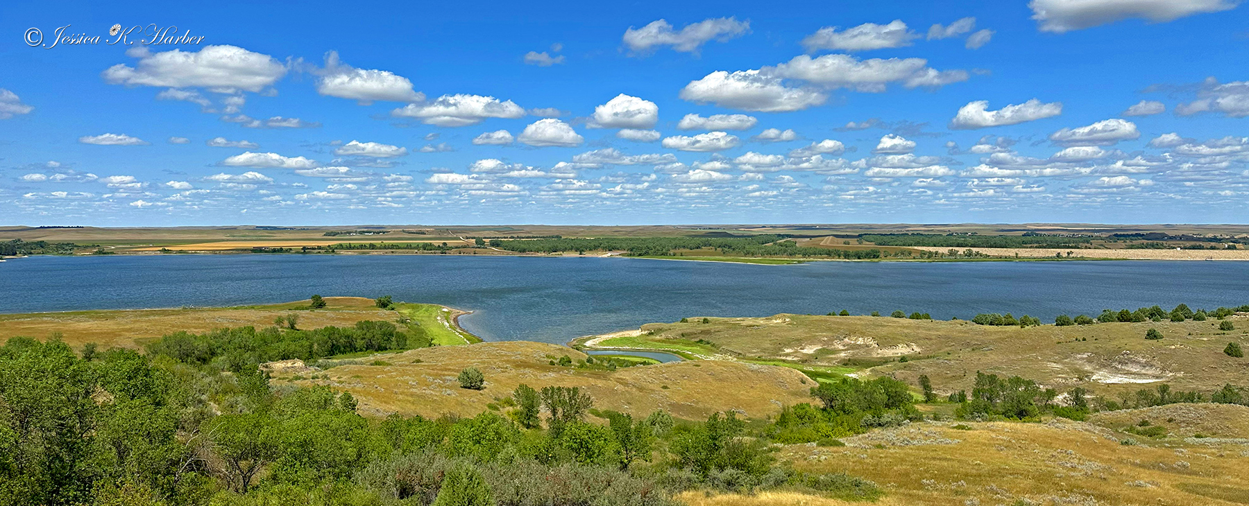
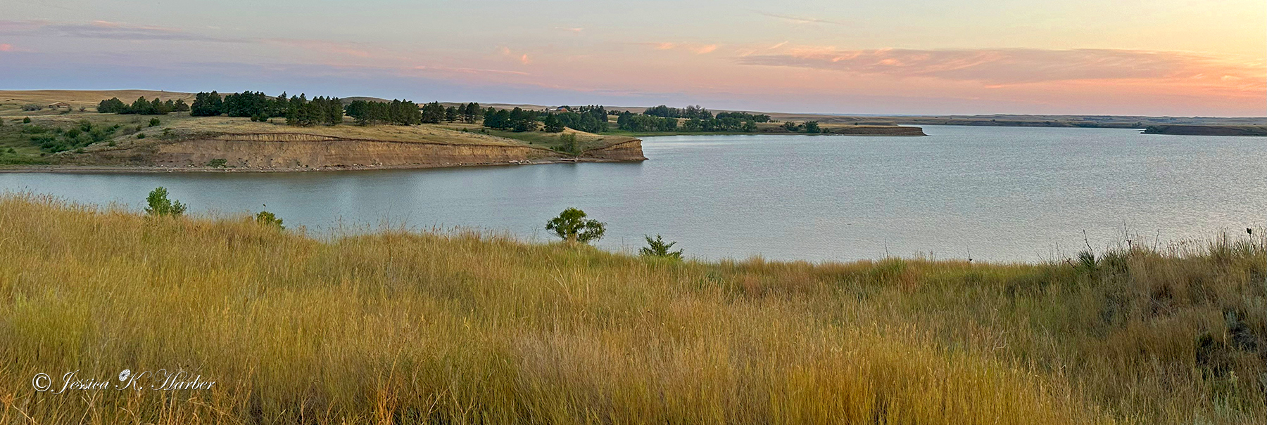
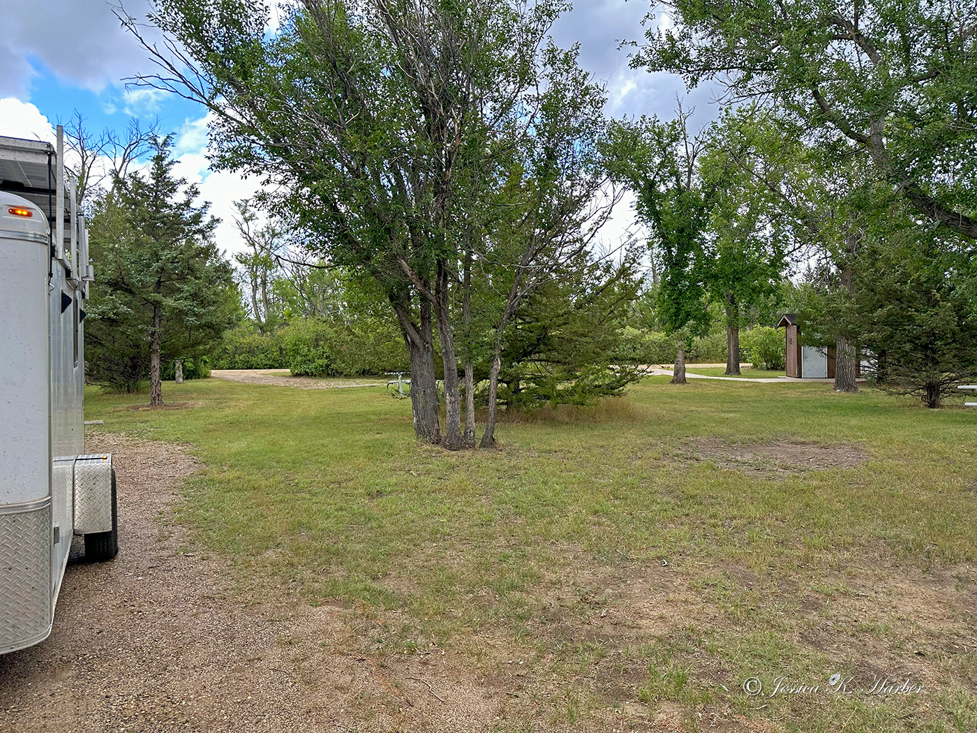
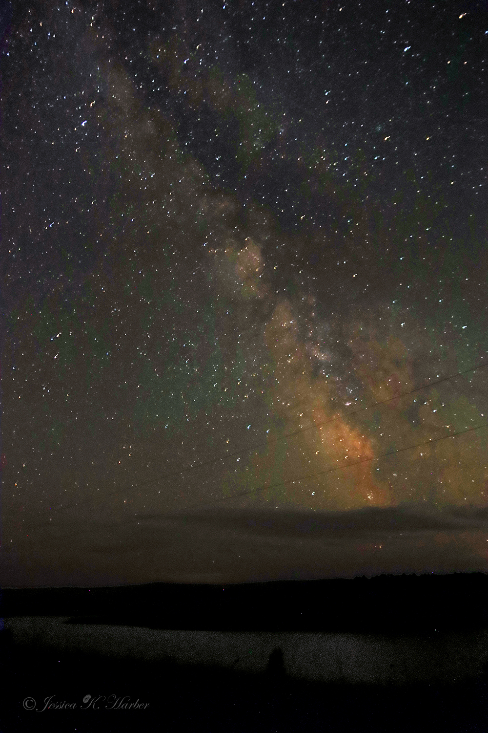
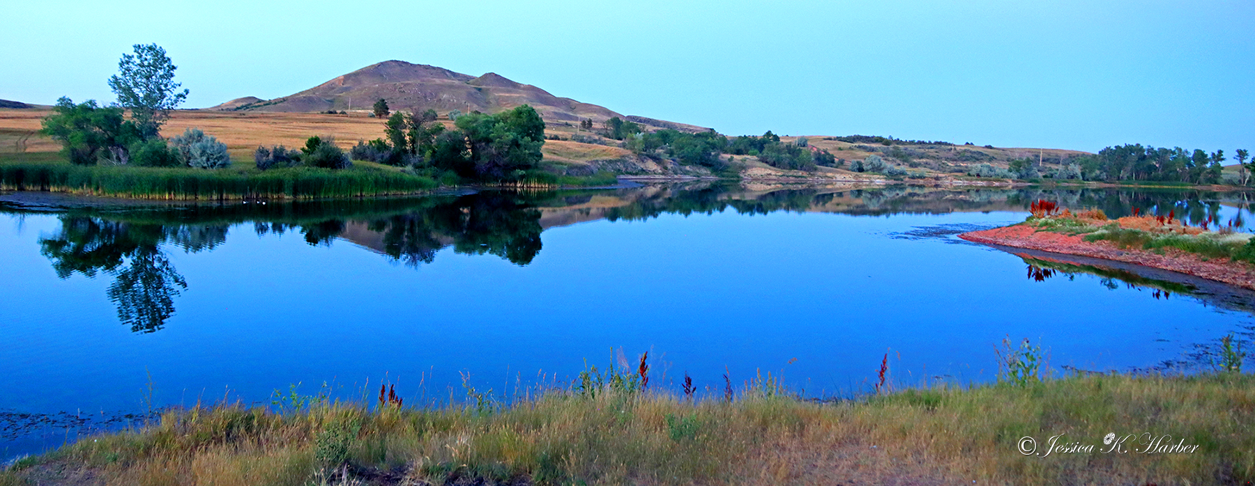
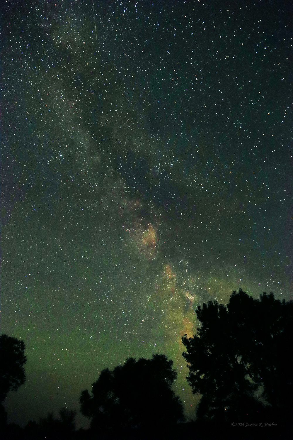
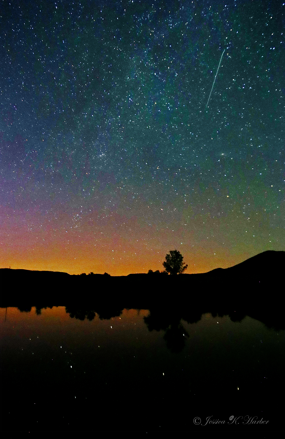
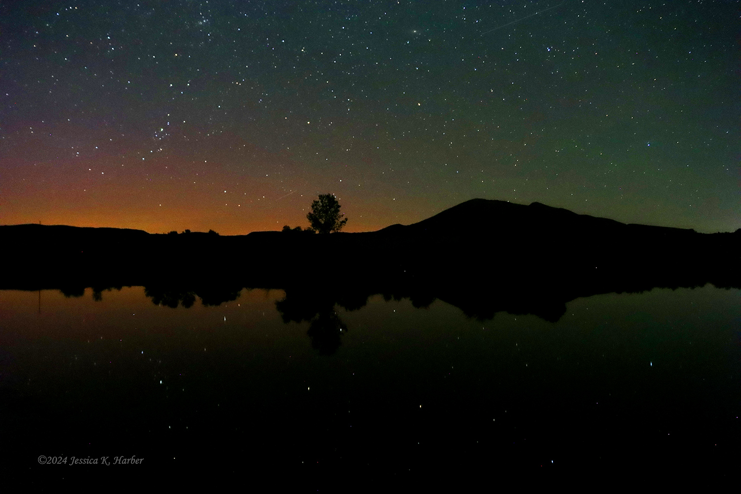
I then went on to camp 16 miles from the south unit of the Theodore Roosevelt Park at a place called “Camels Hump Lake”. No amenities but a nice quiet place to stay. Also great for night sky viewing.

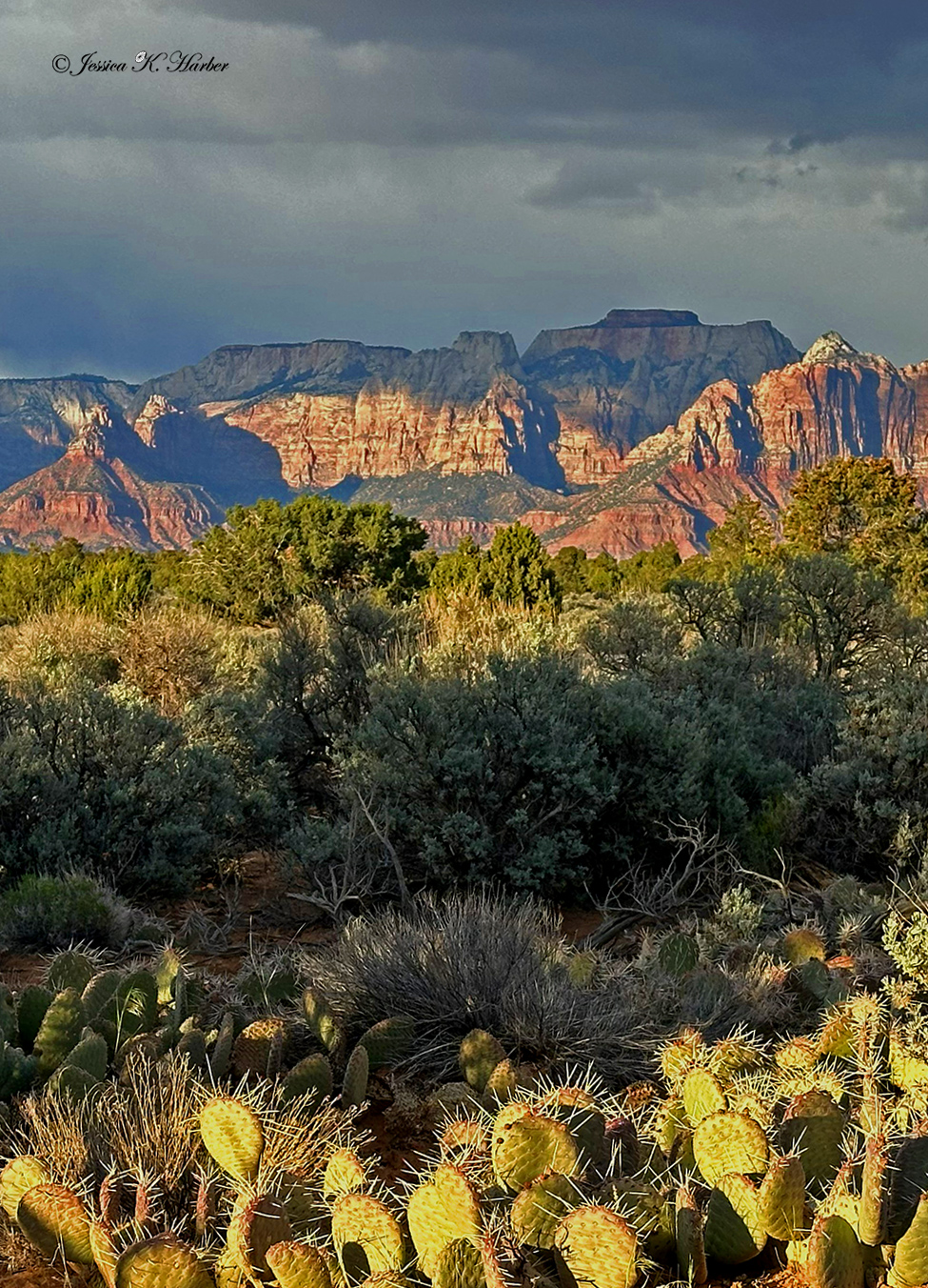
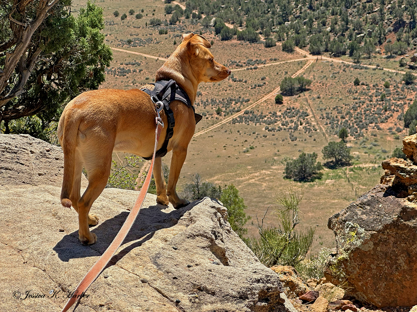
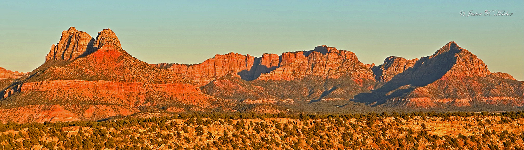
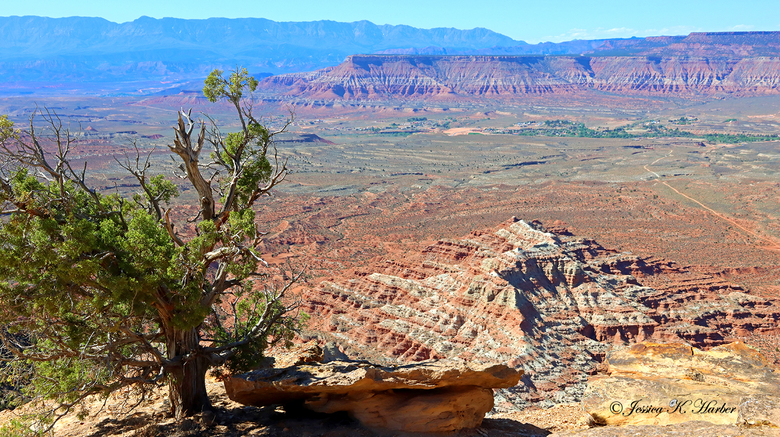
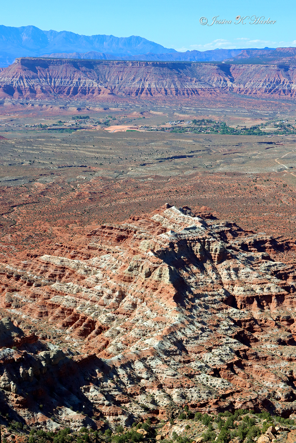
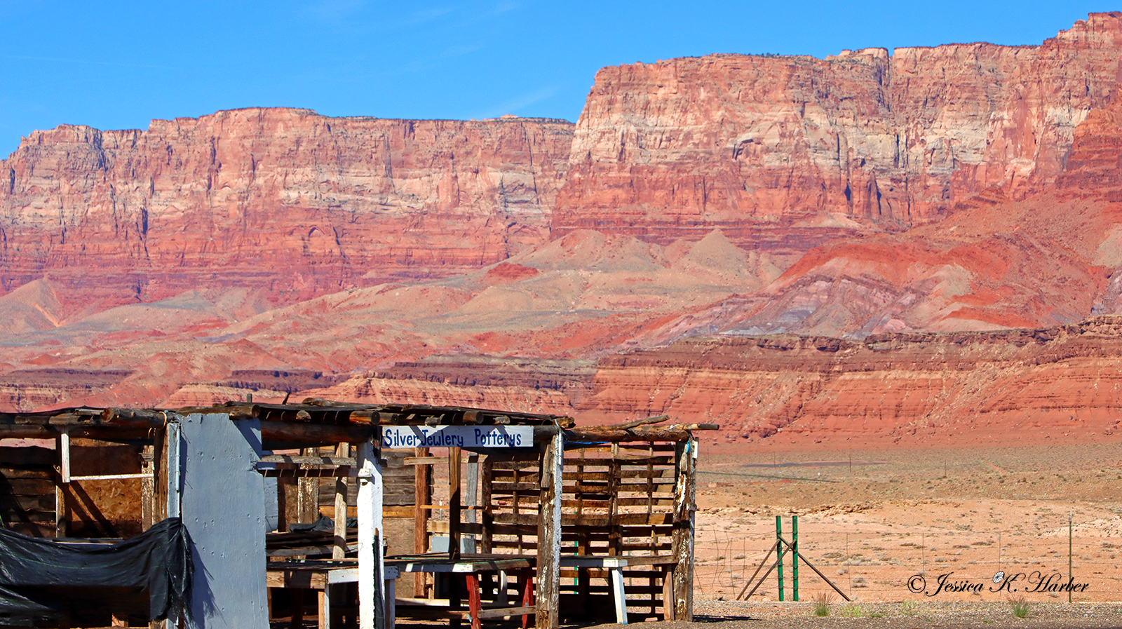
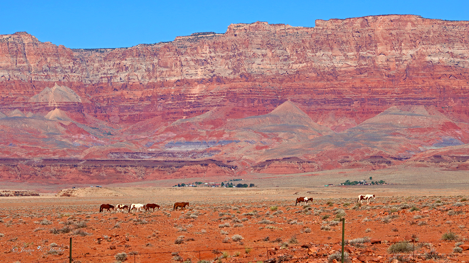
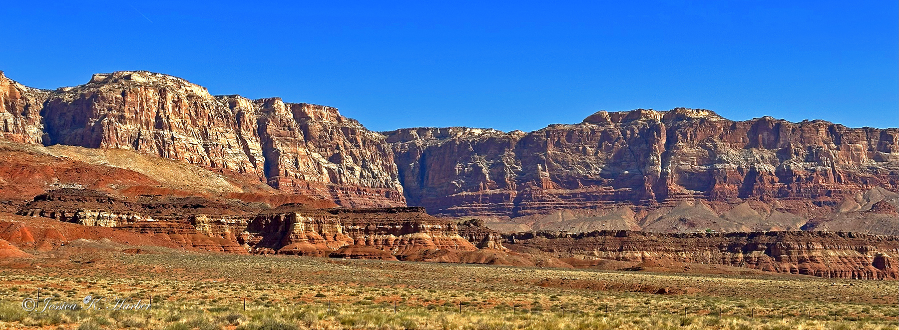
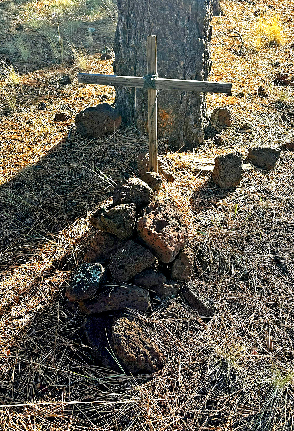
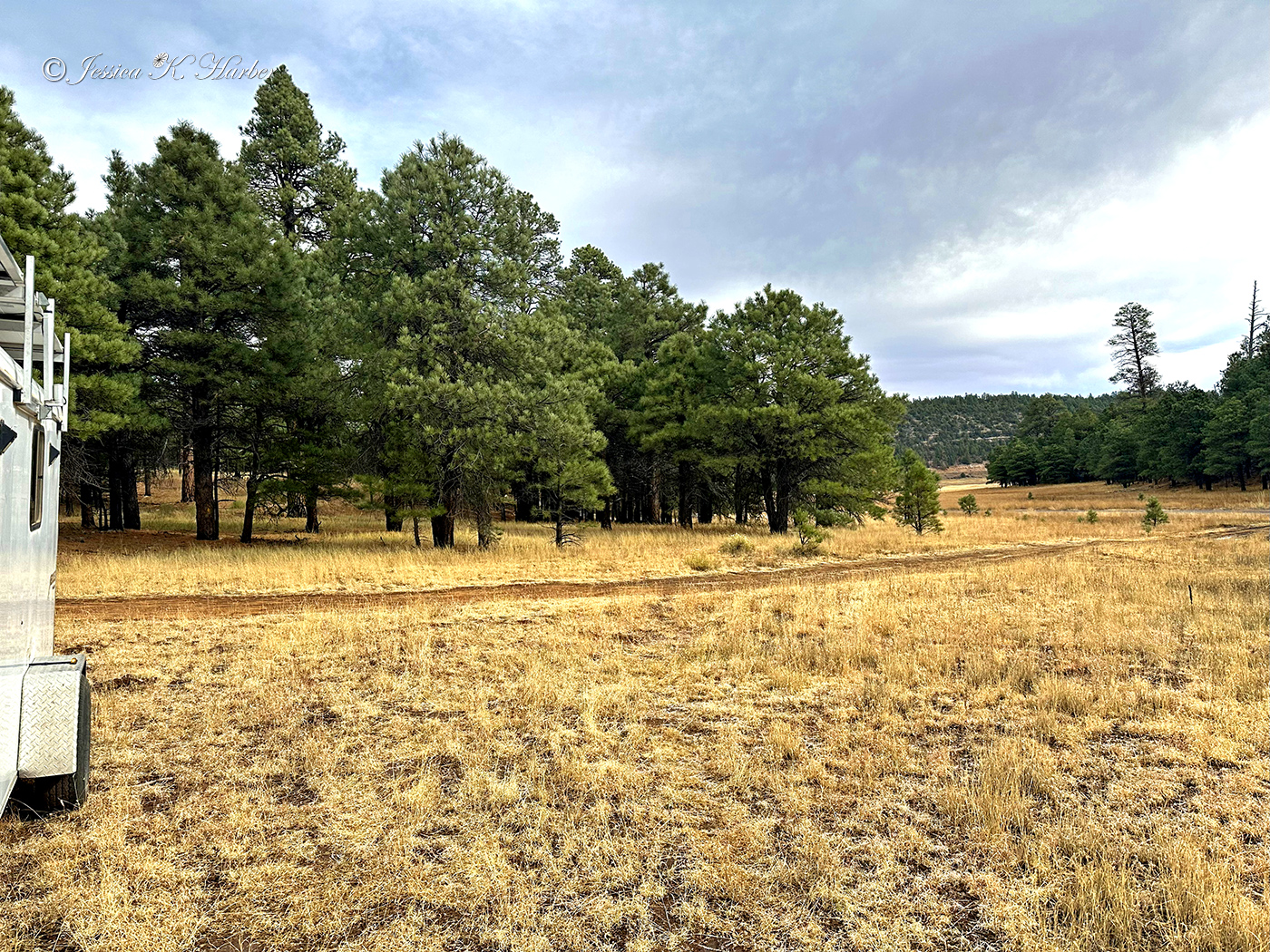
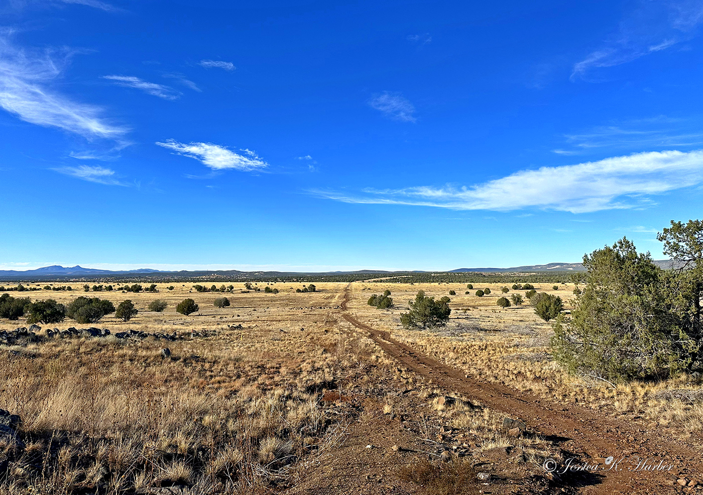
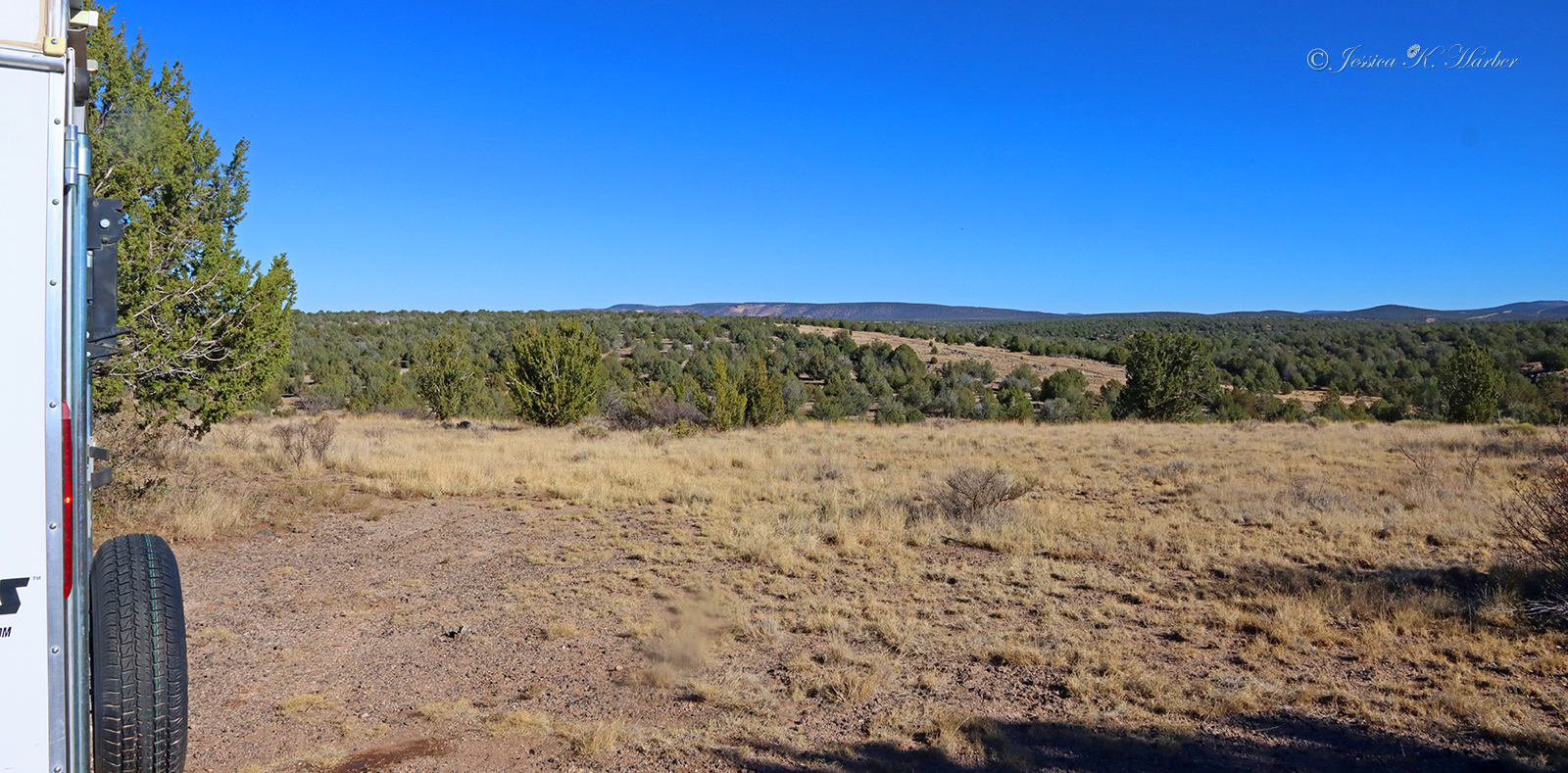
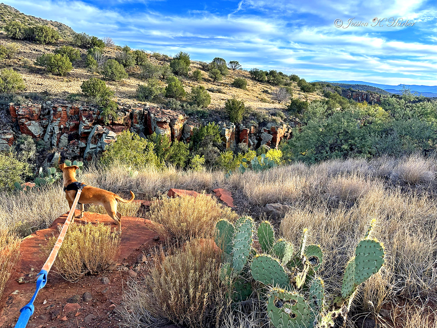
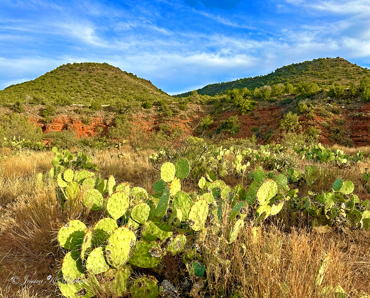
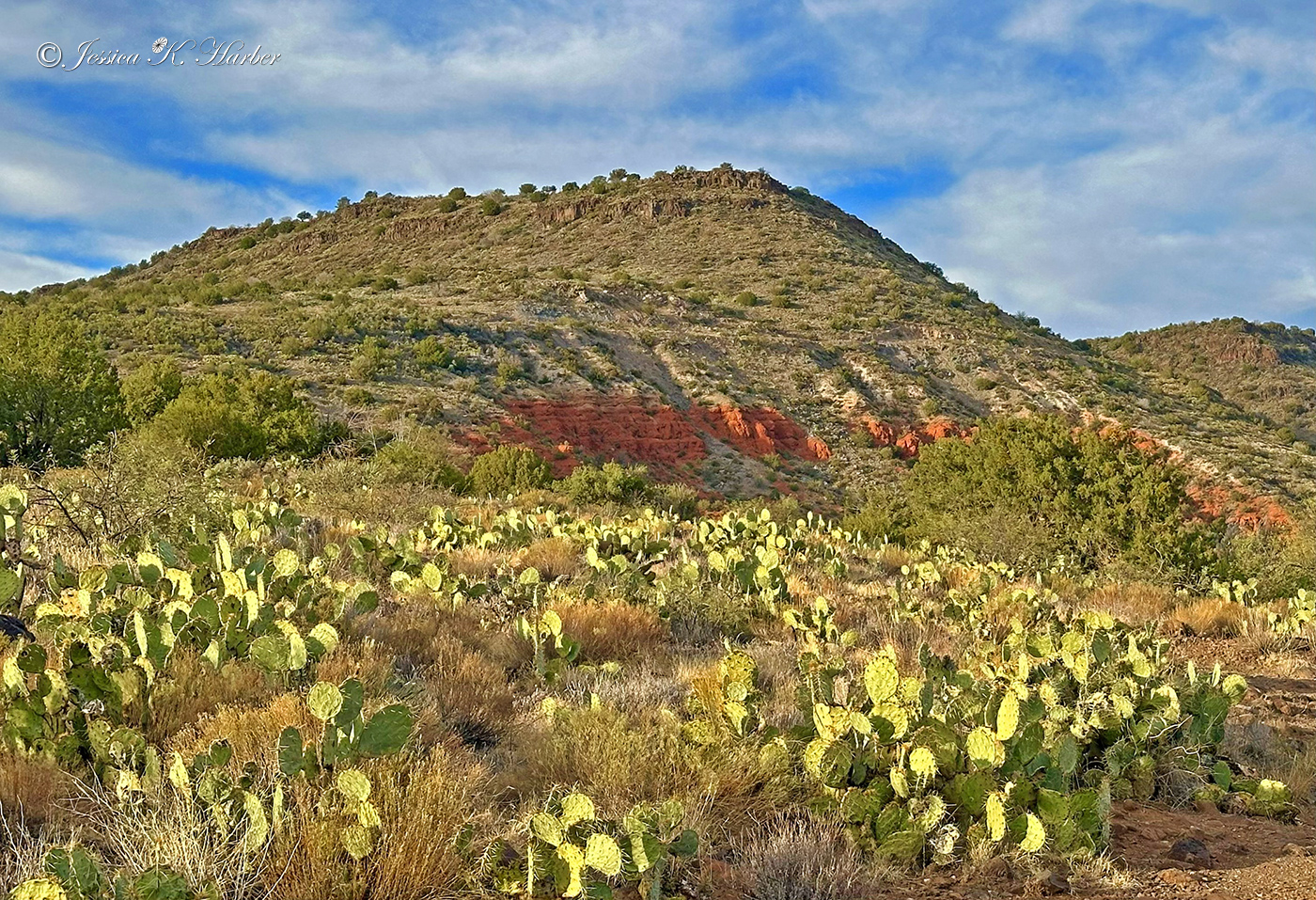
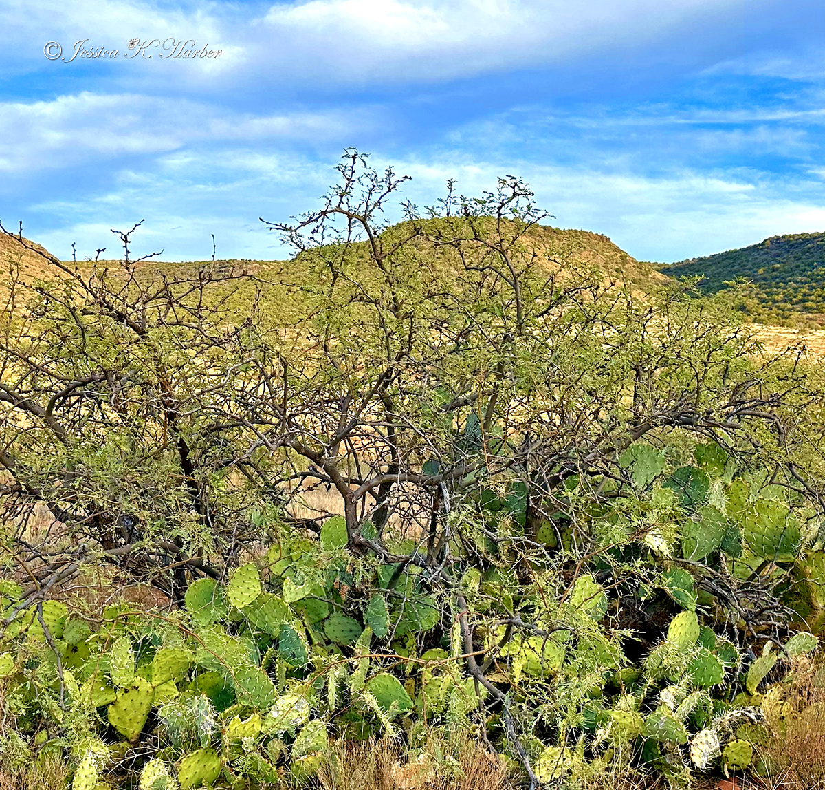
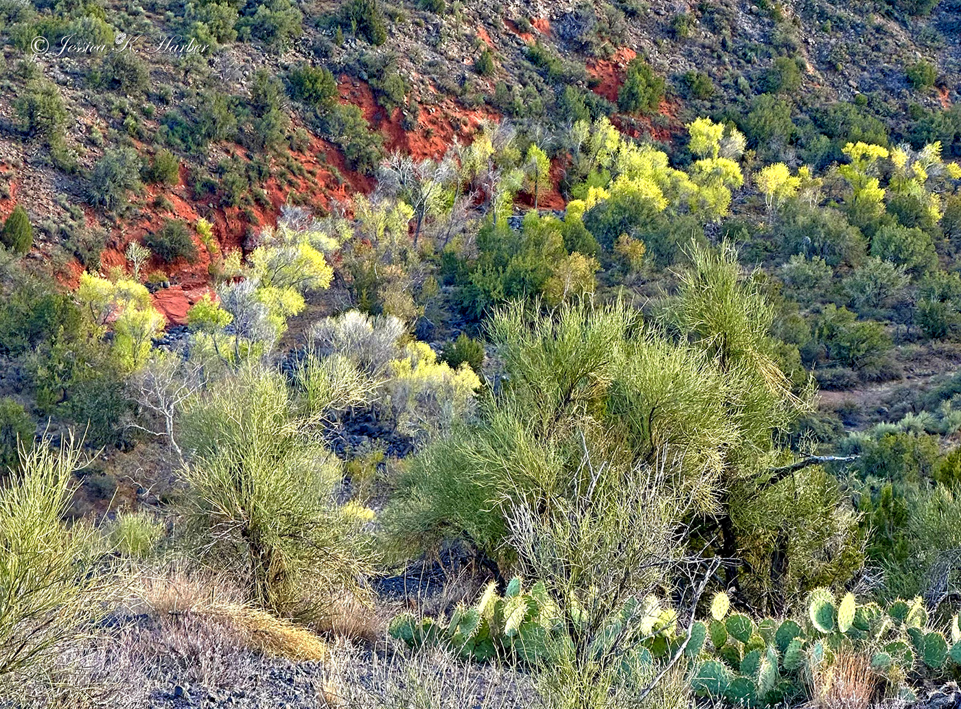
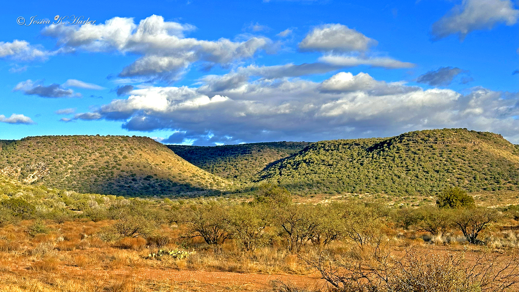
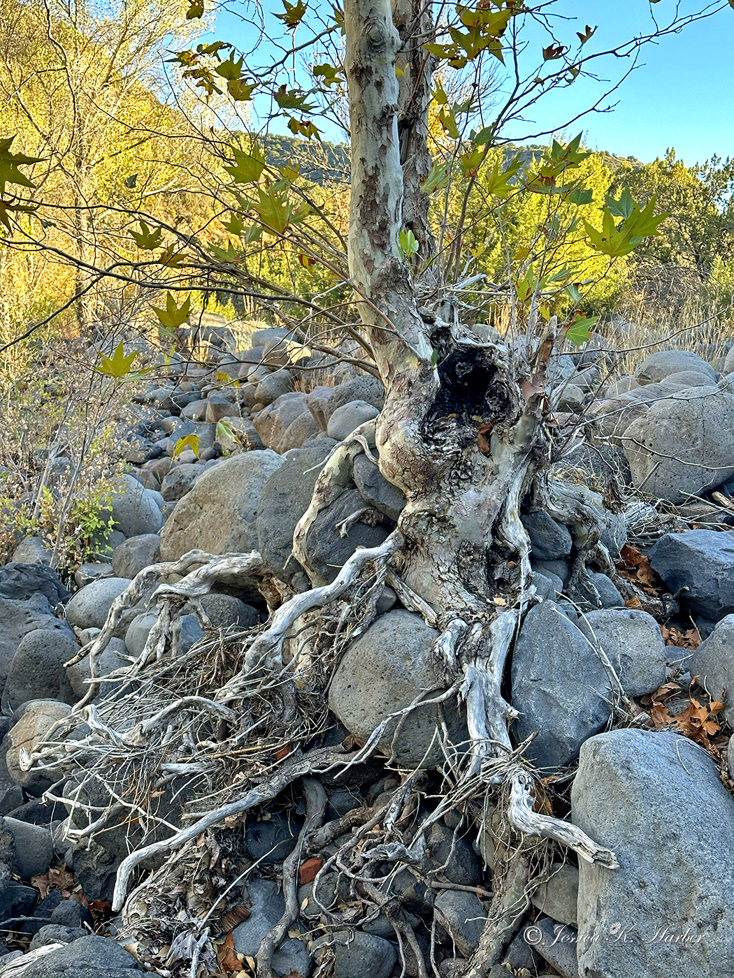
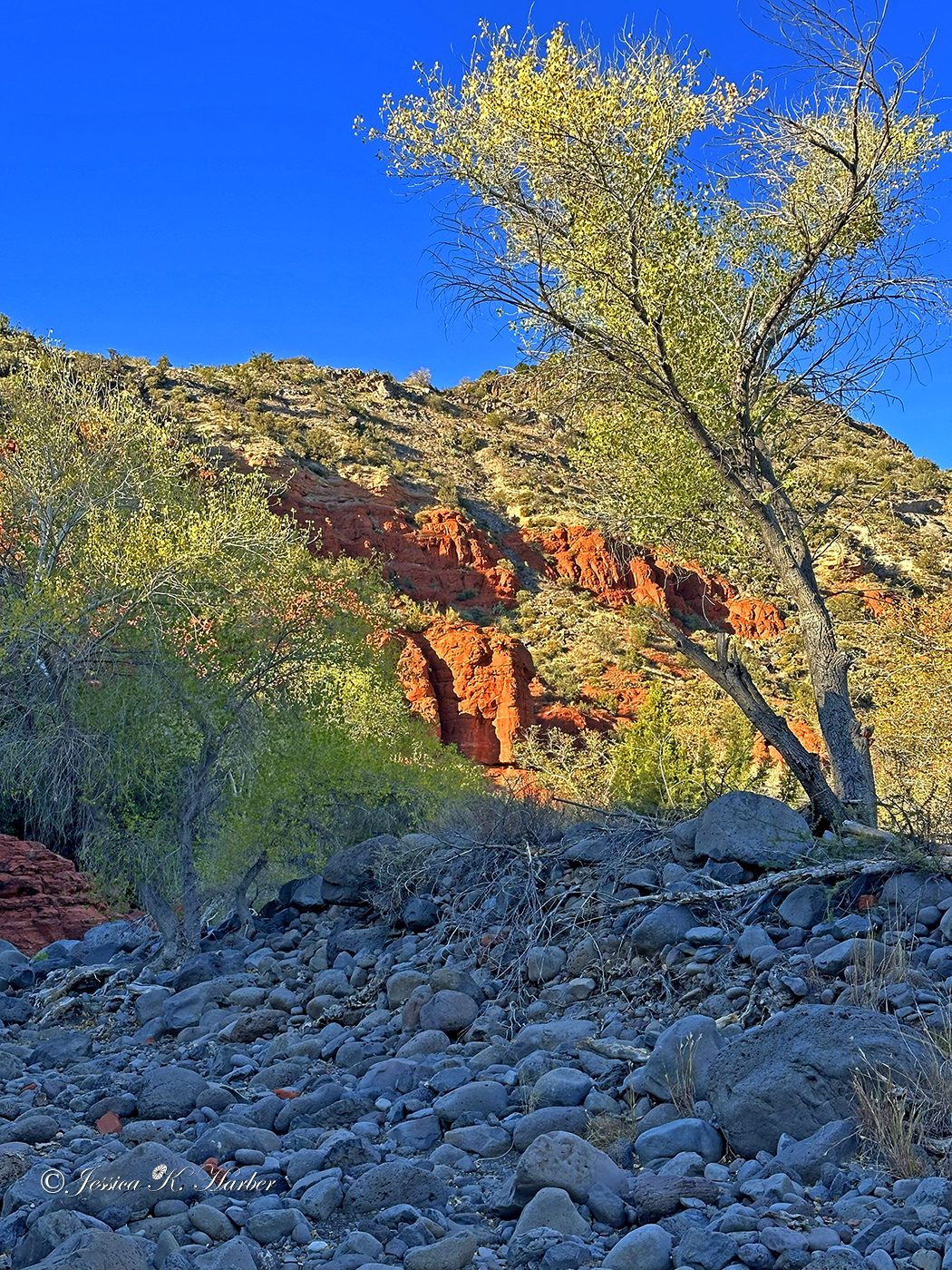
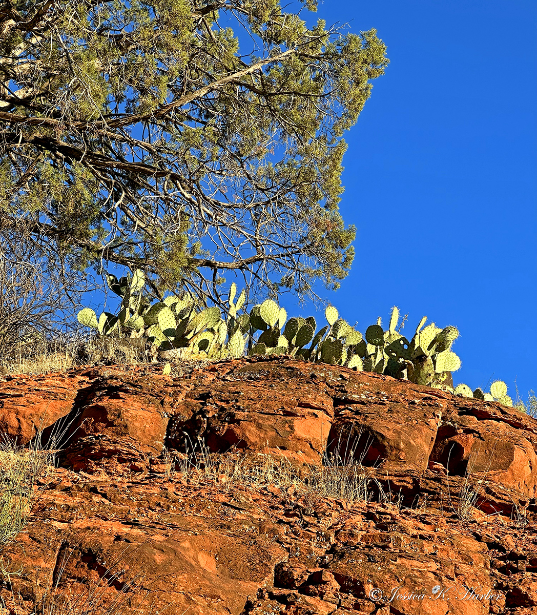
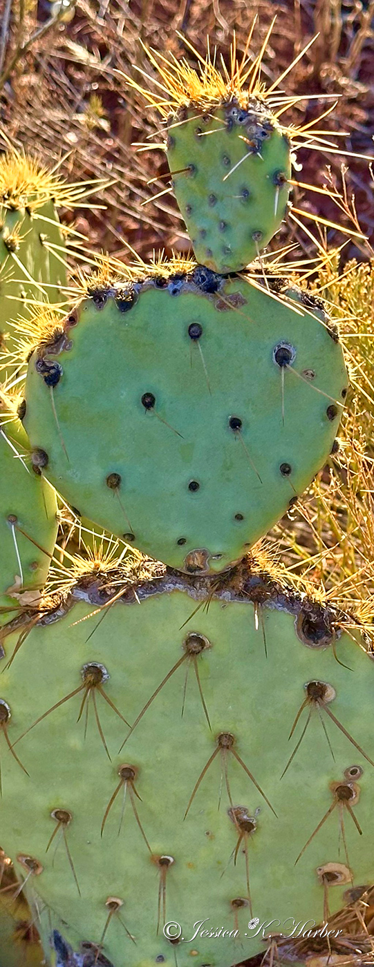
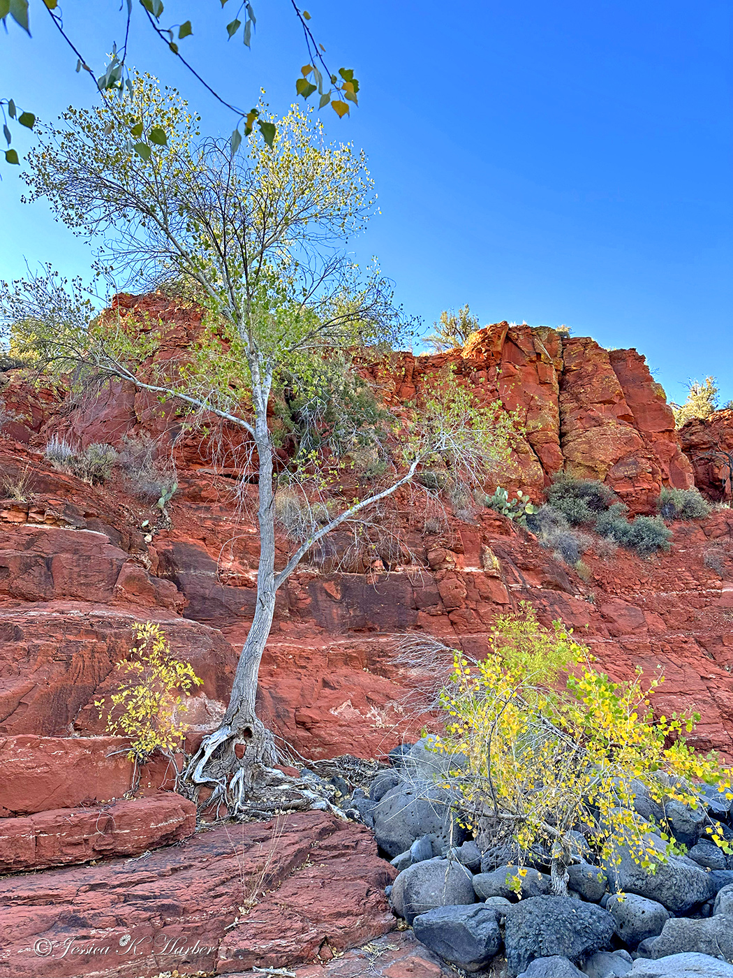
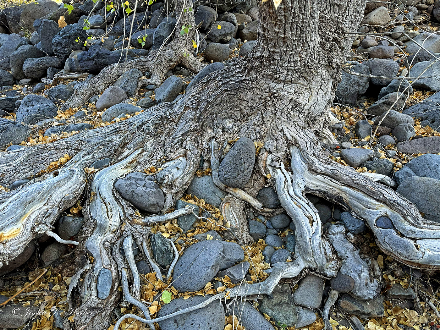
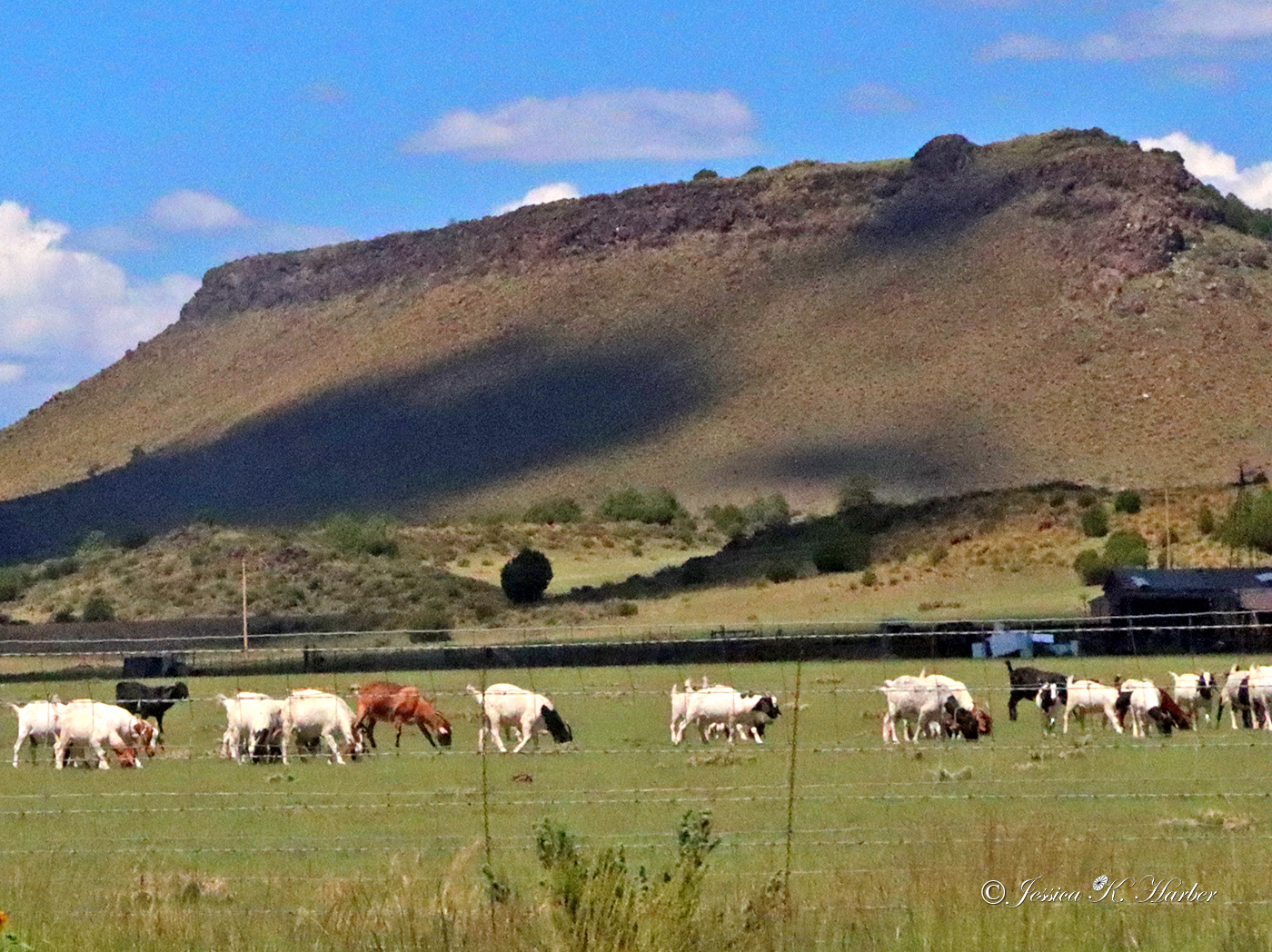
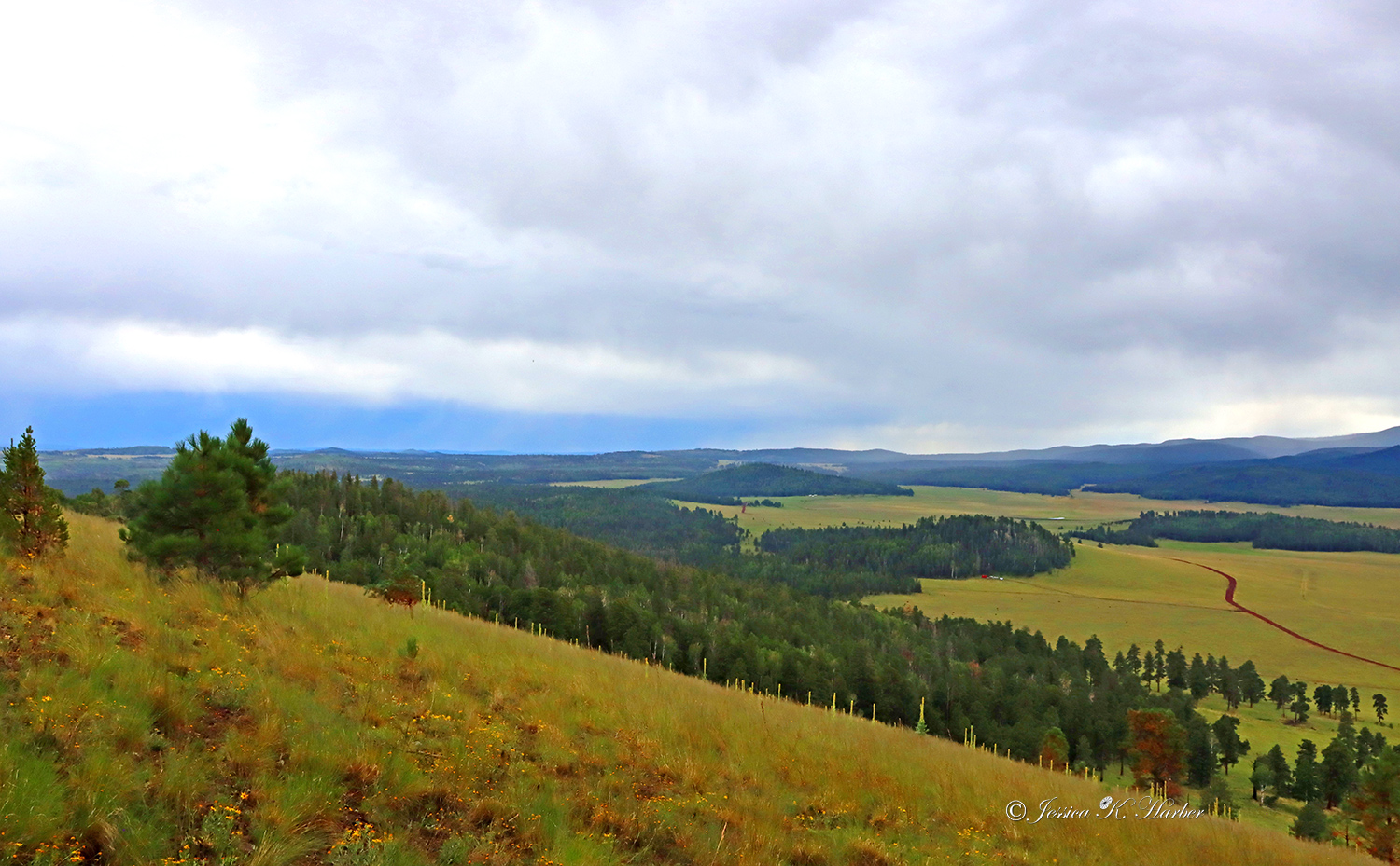
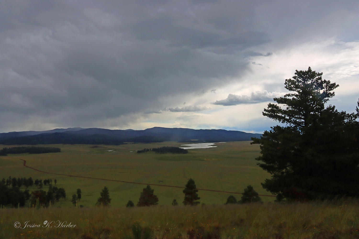
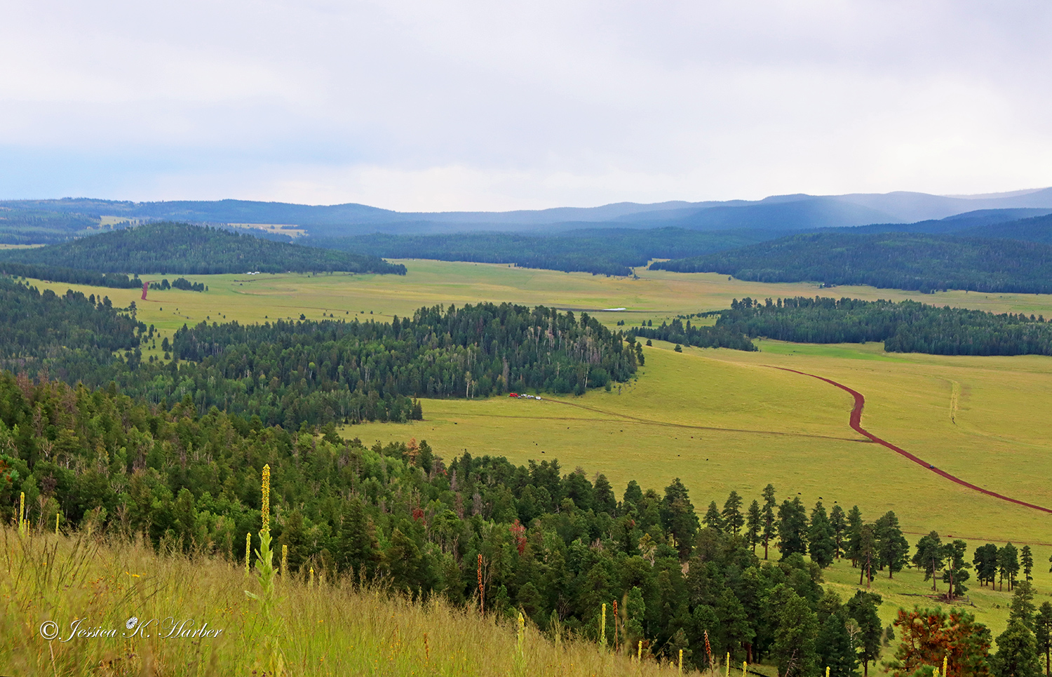
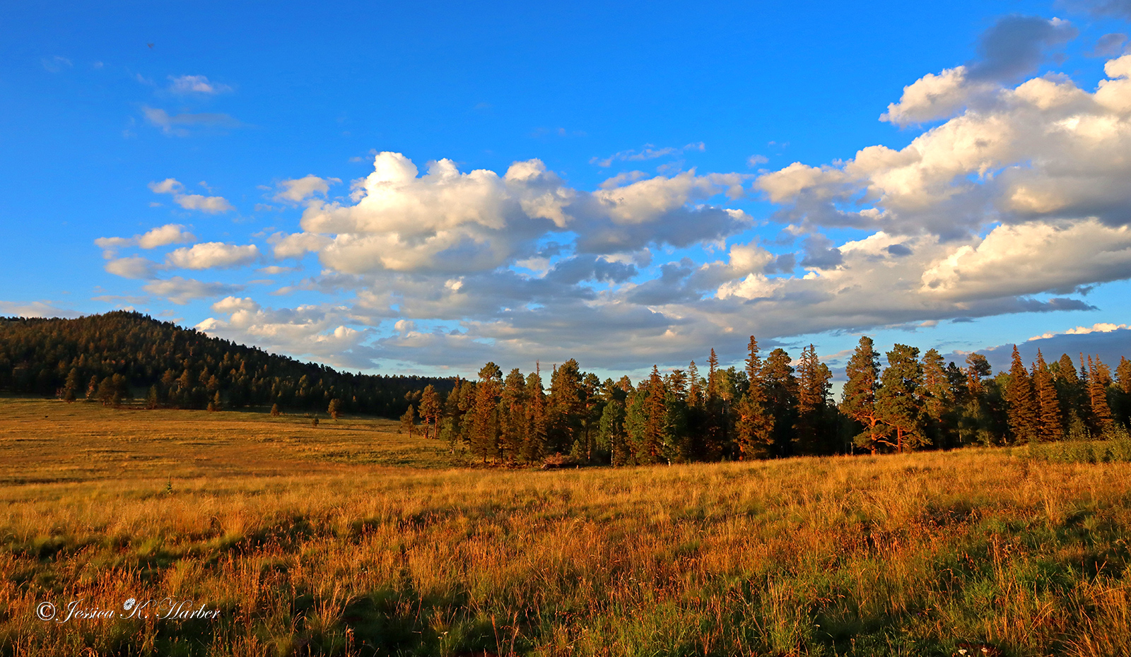
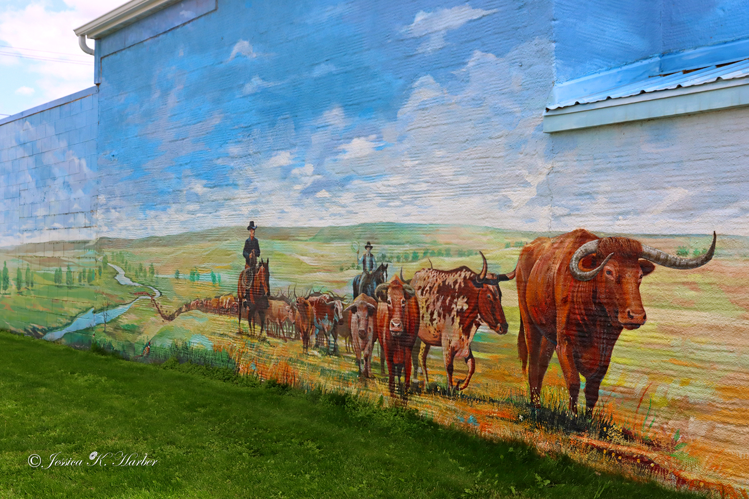
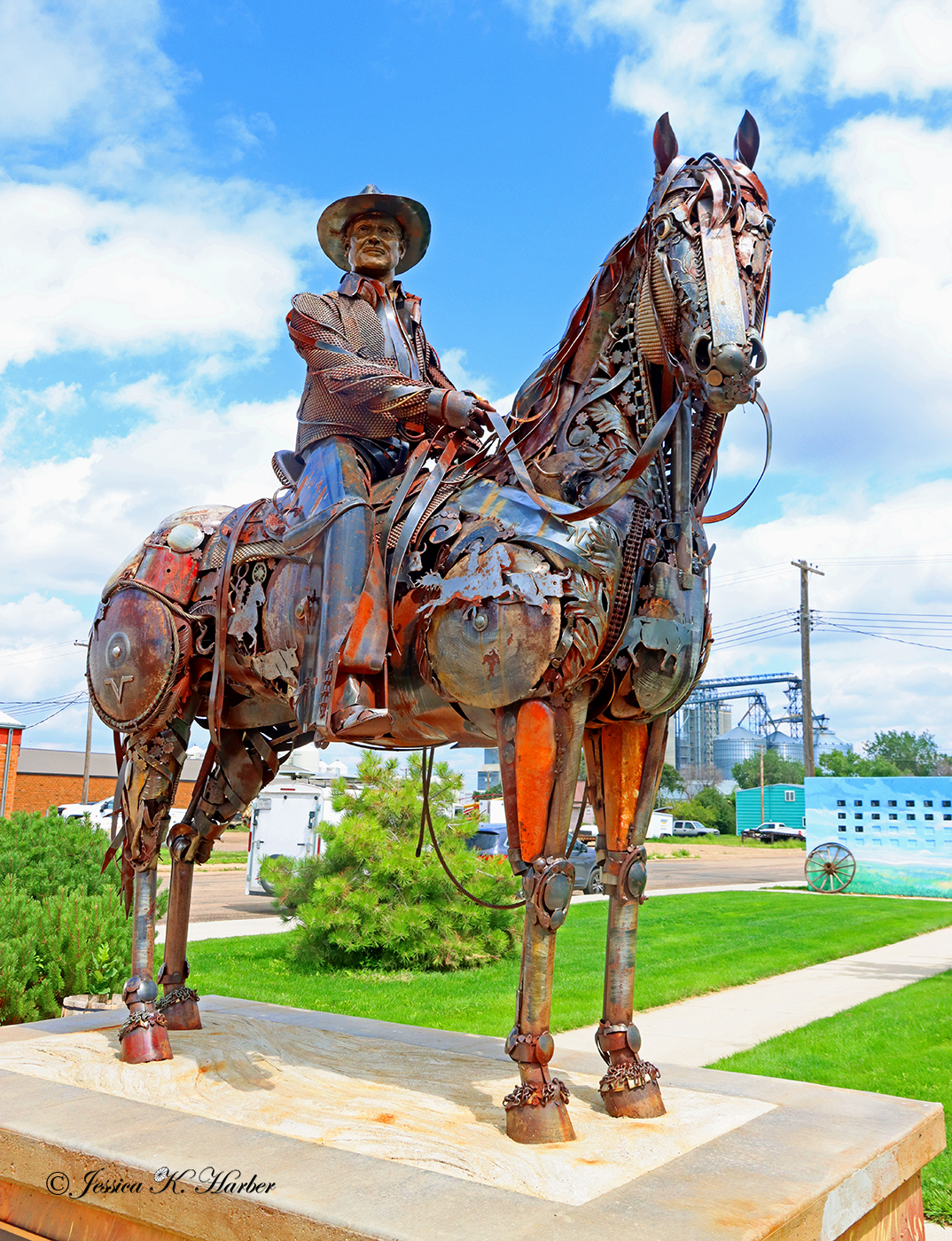
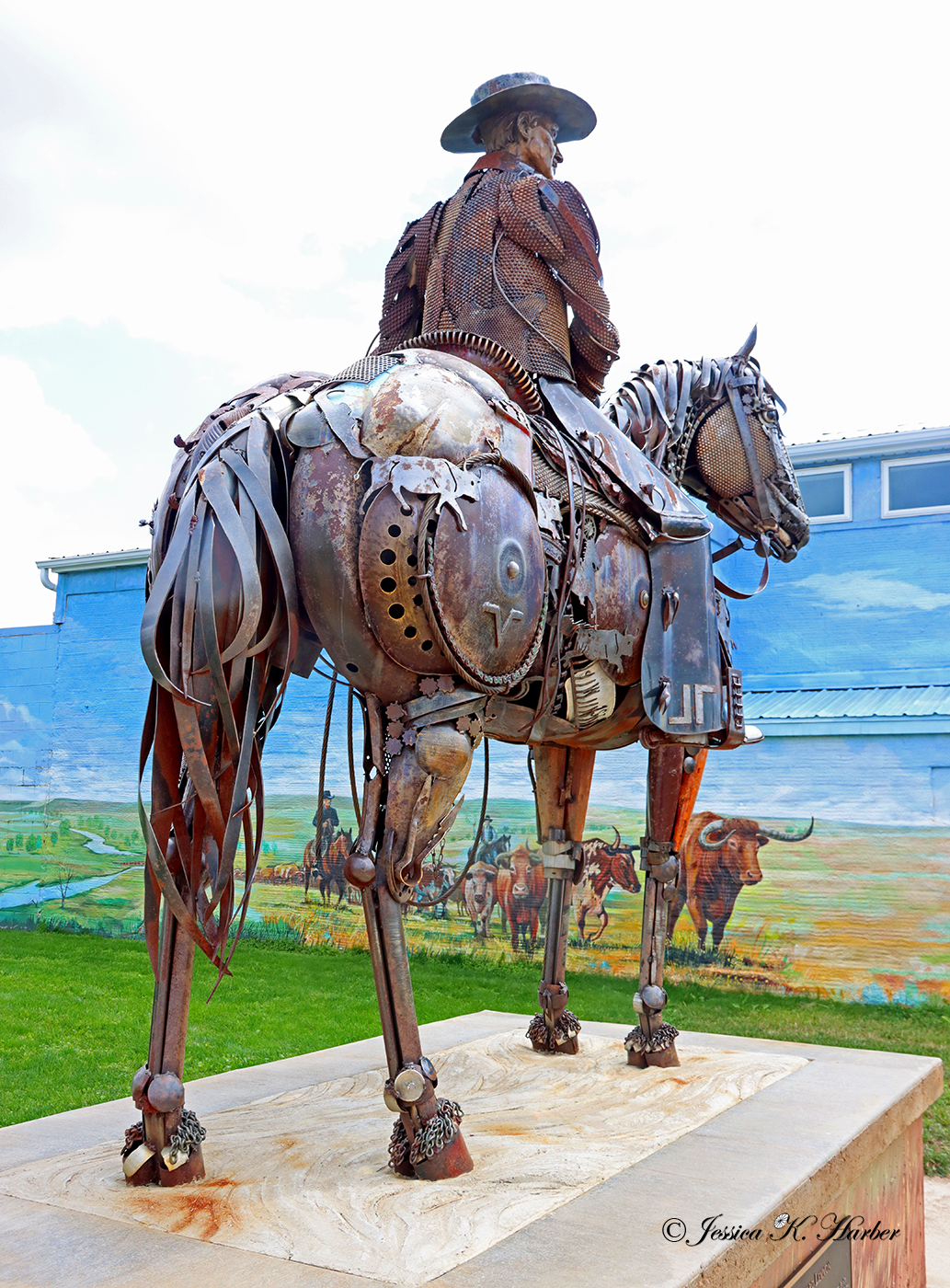
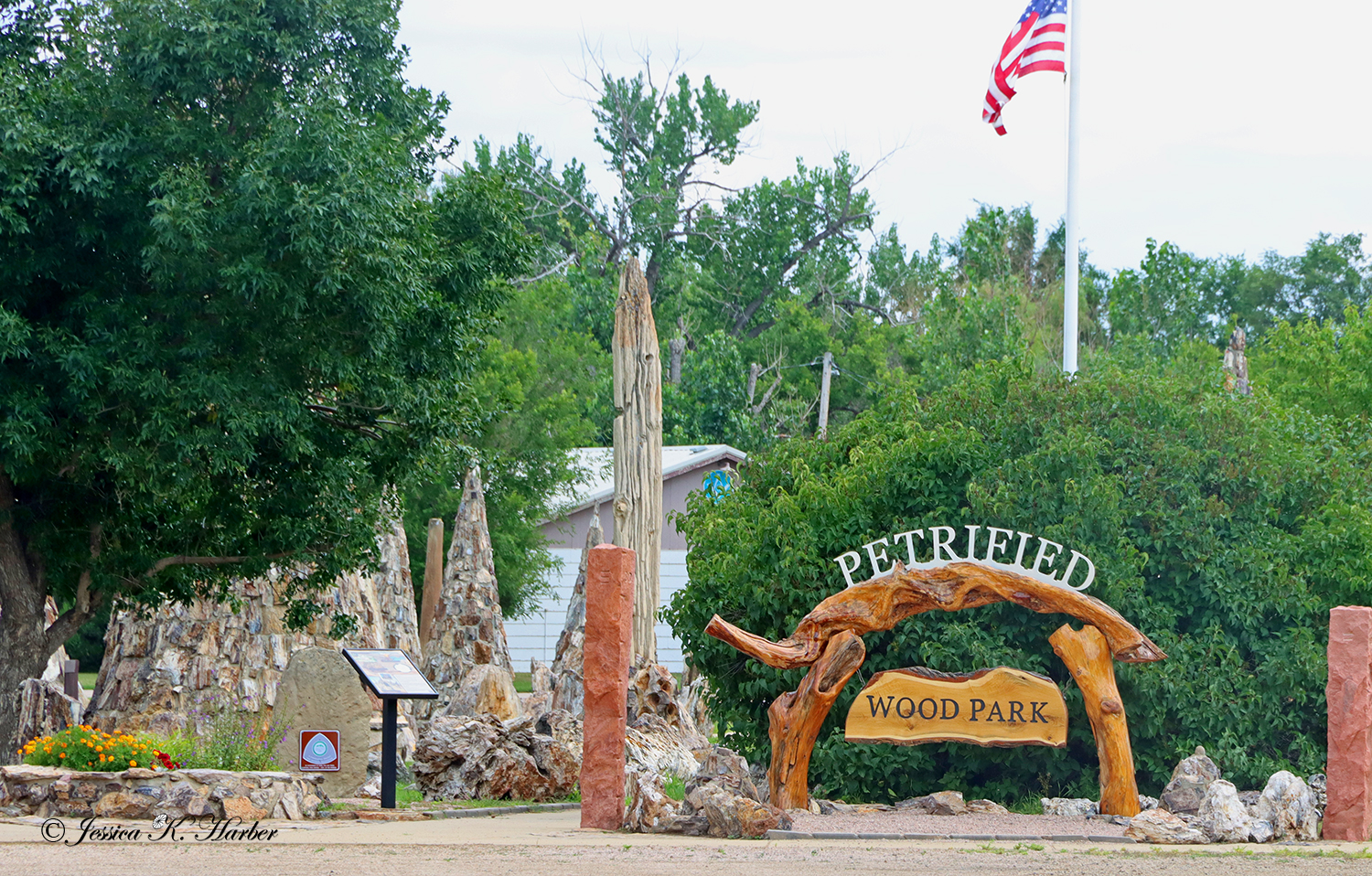
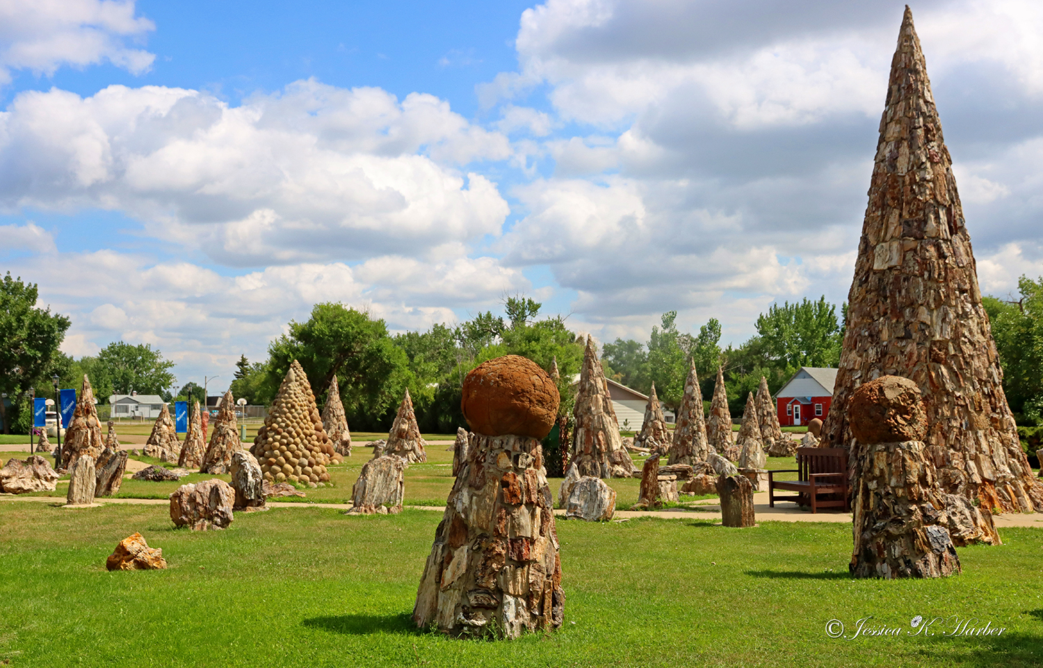
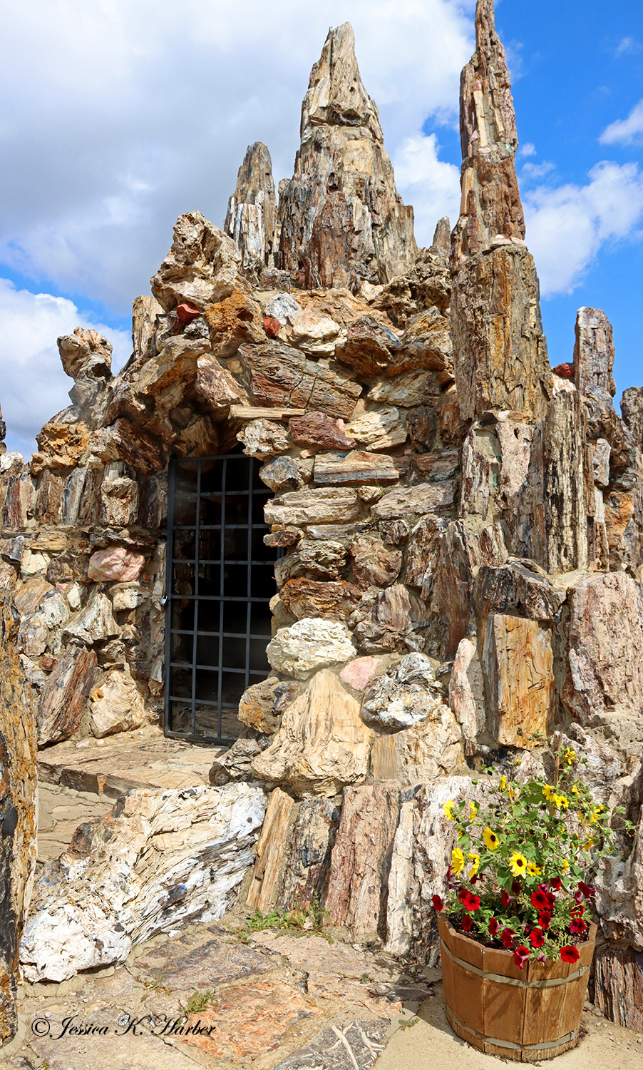
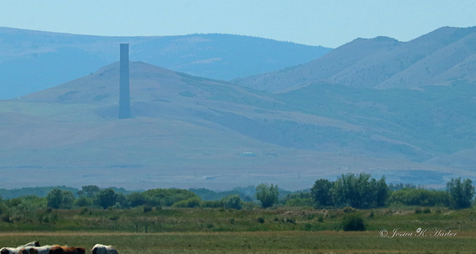
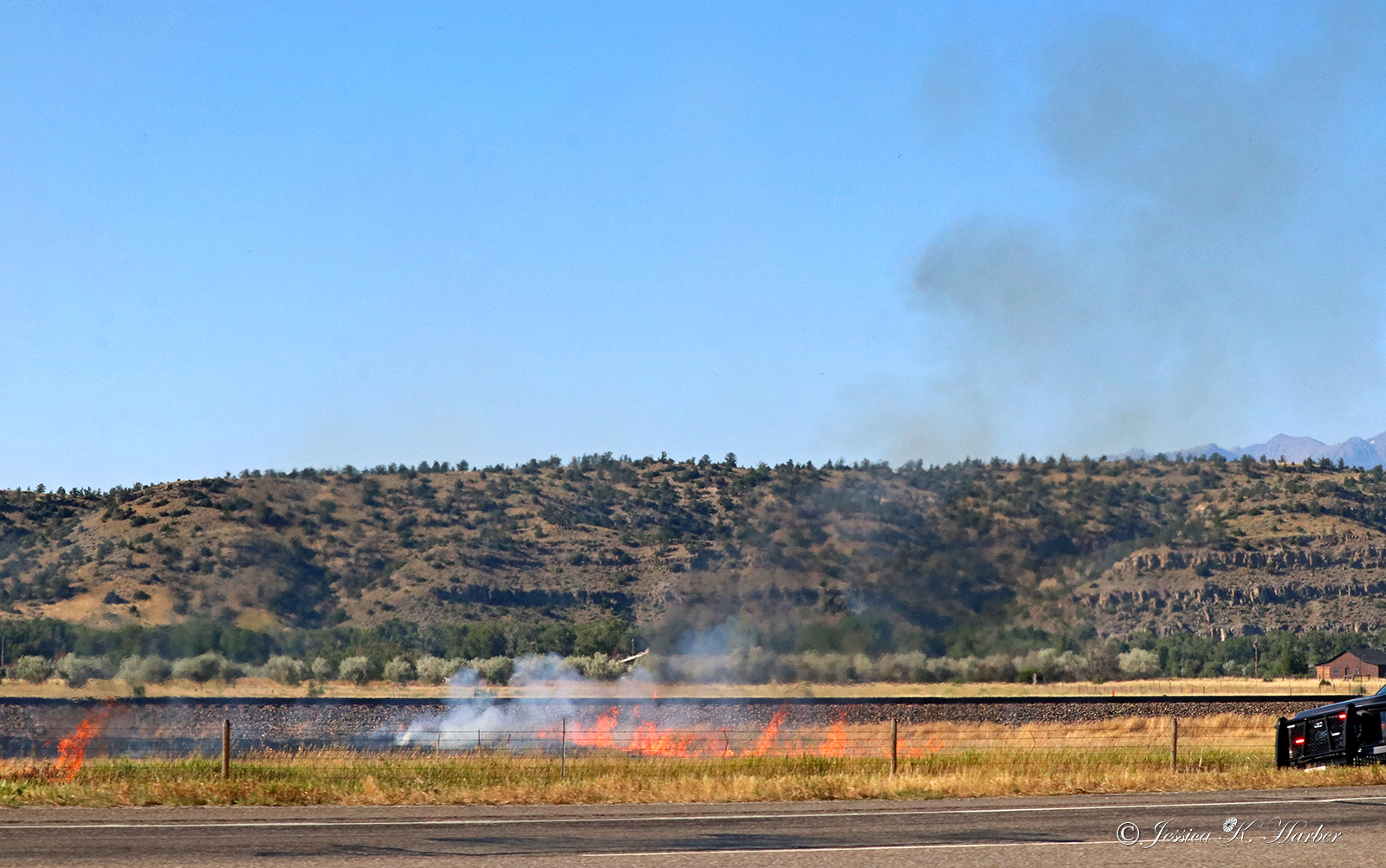
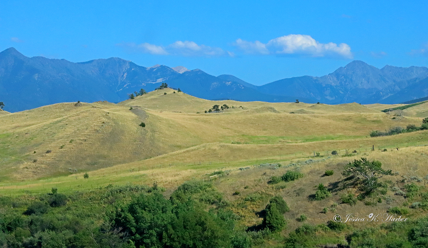
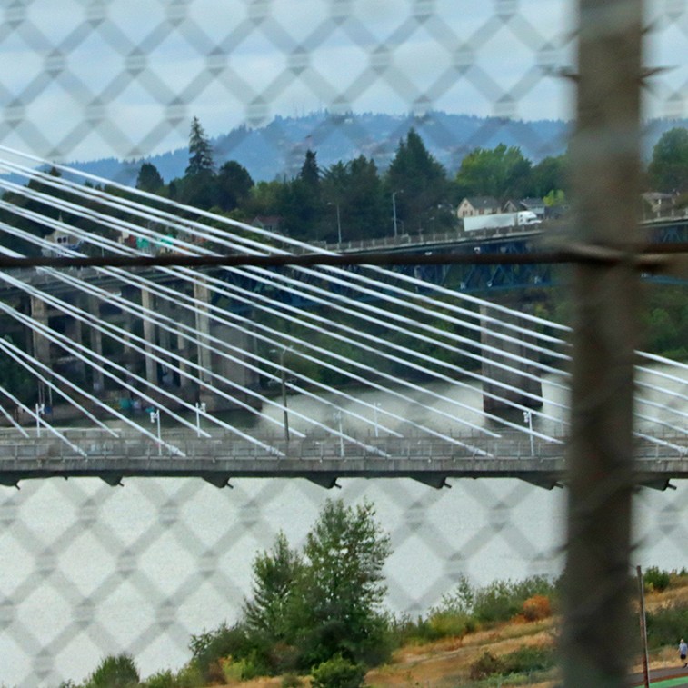
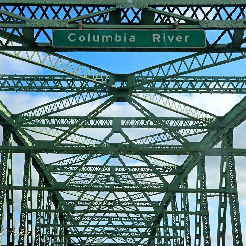
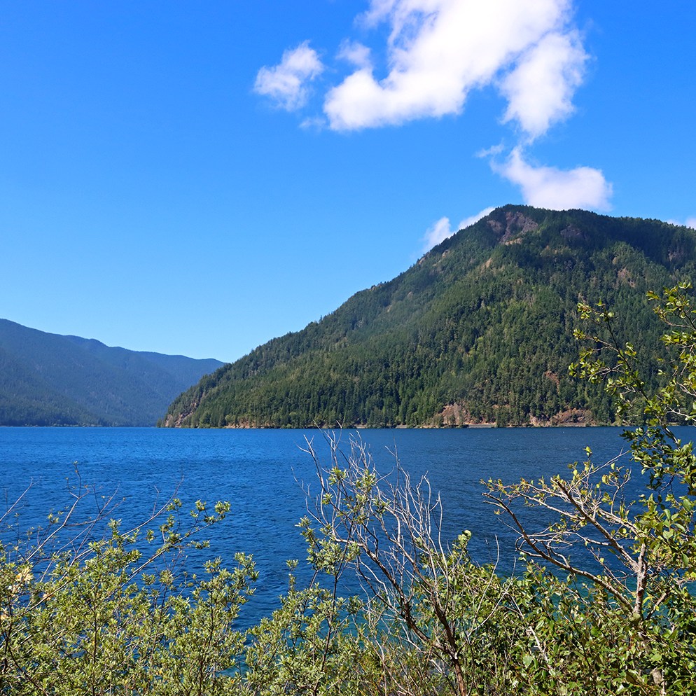
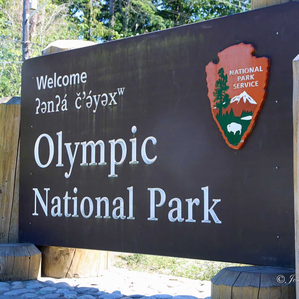
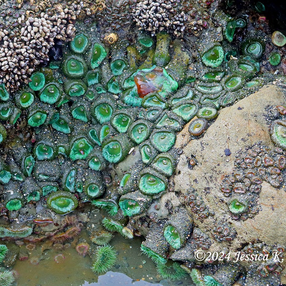
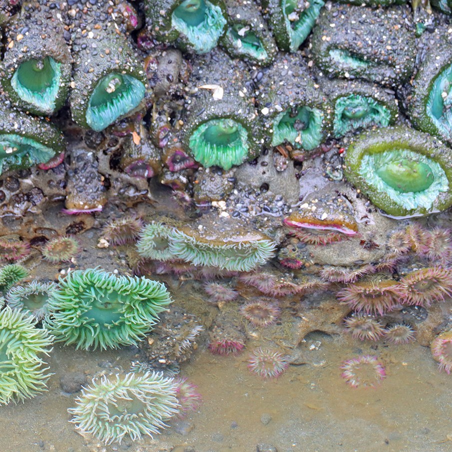
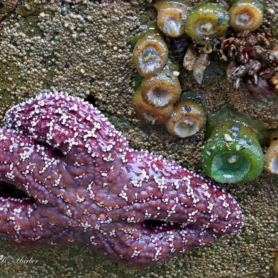
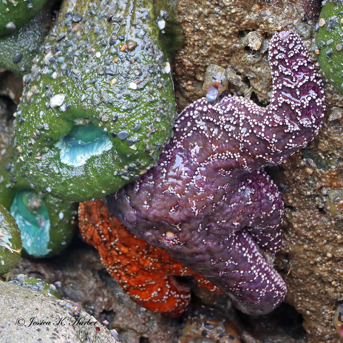
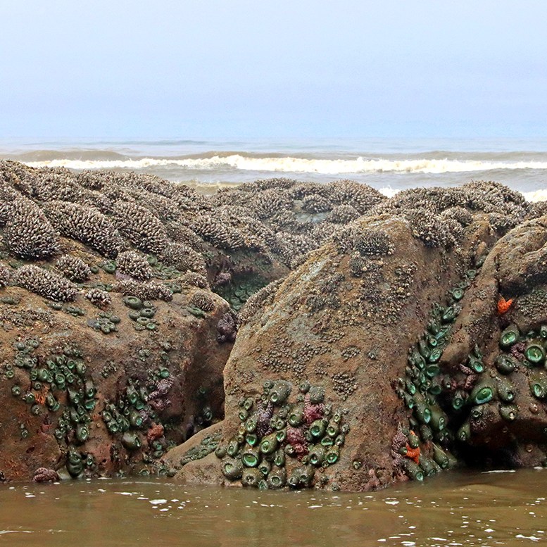
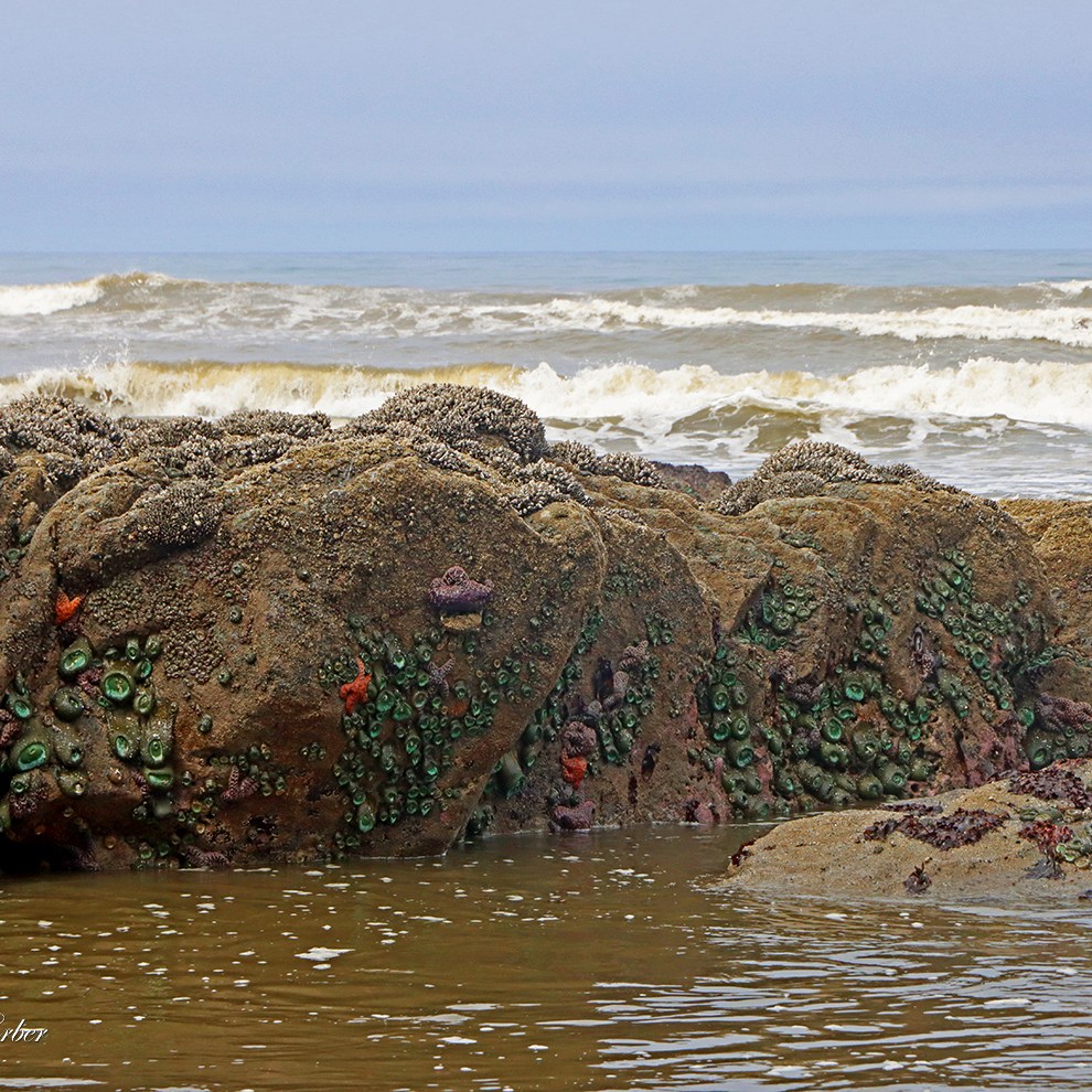
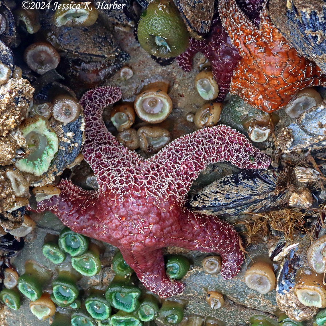
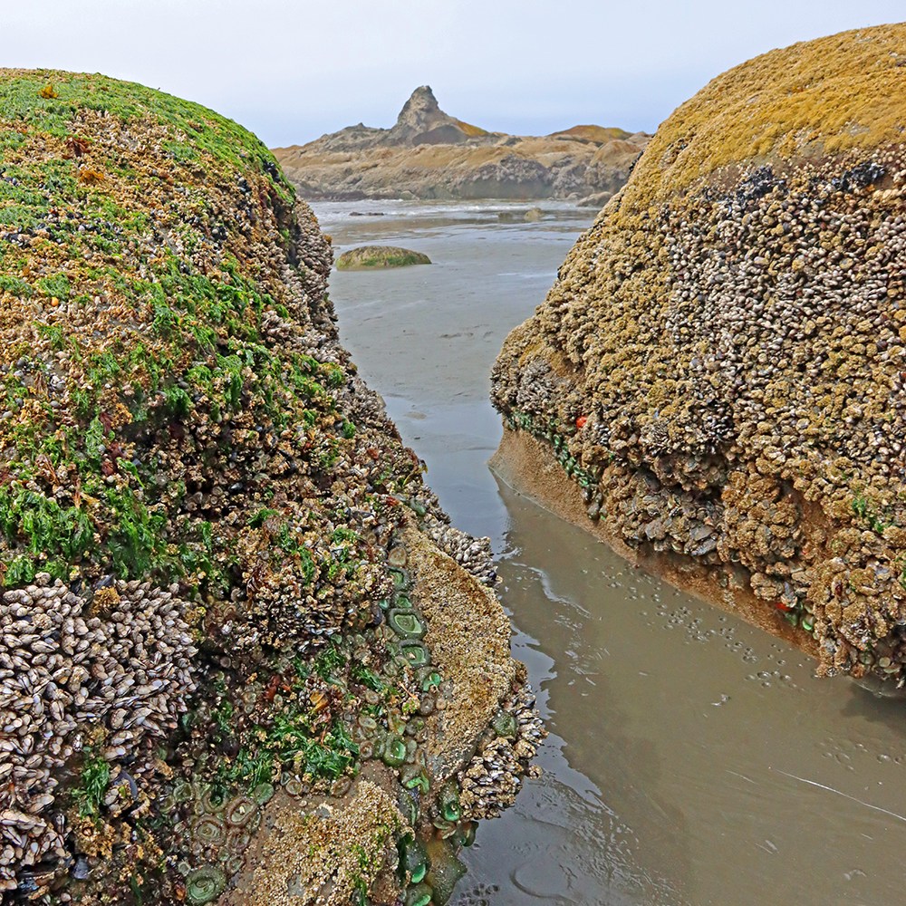
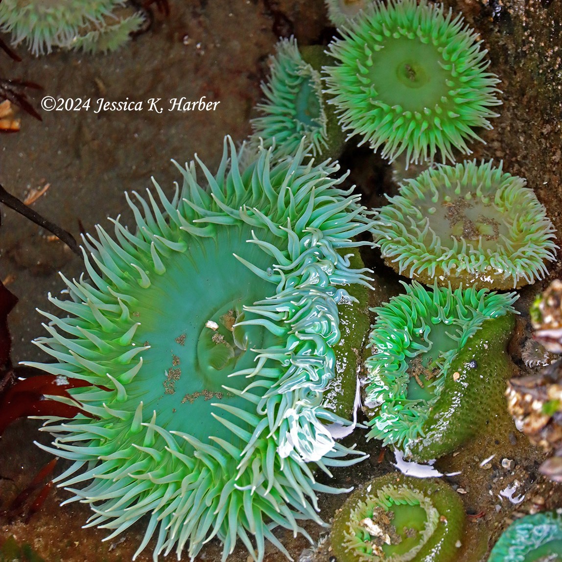
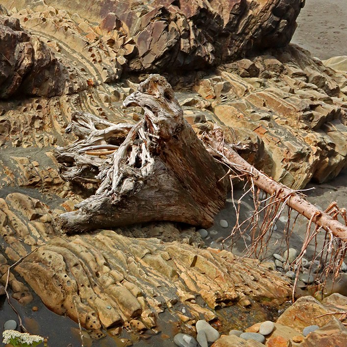
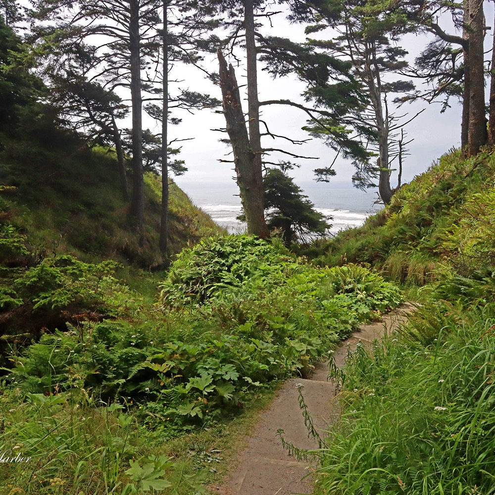
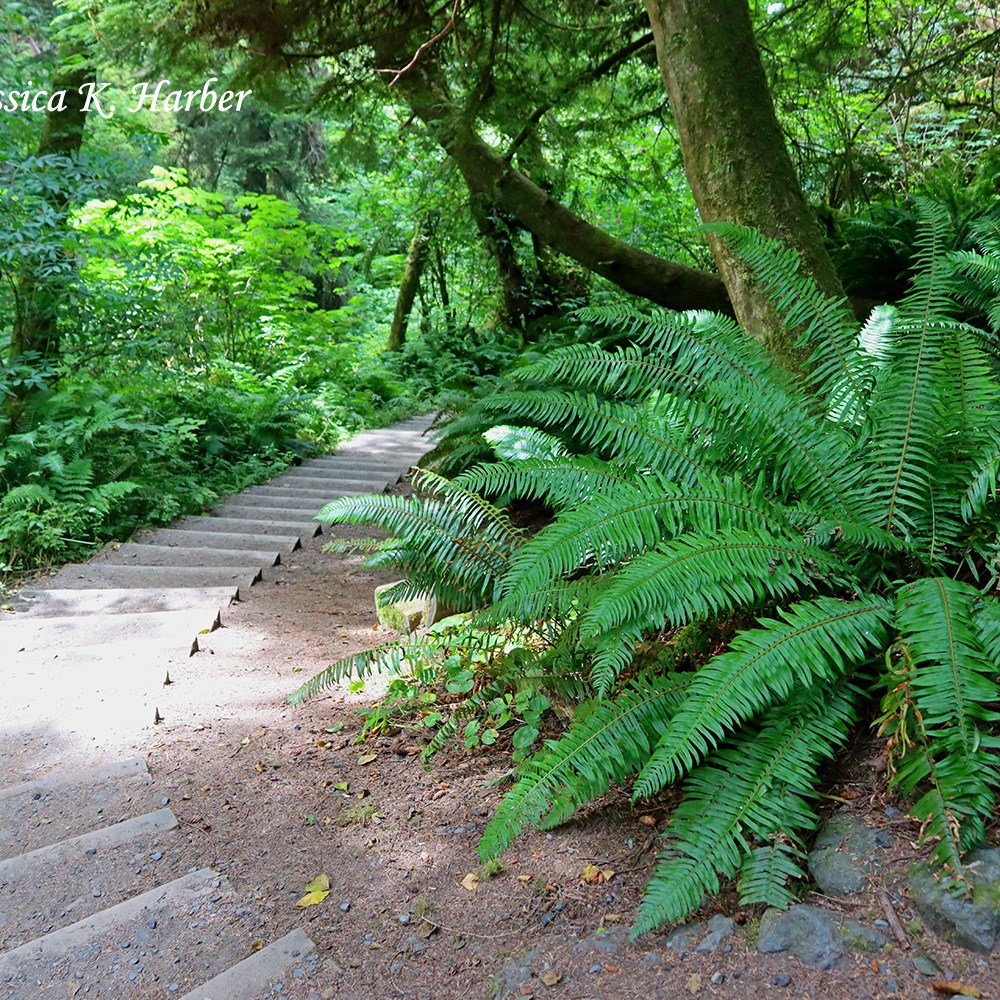
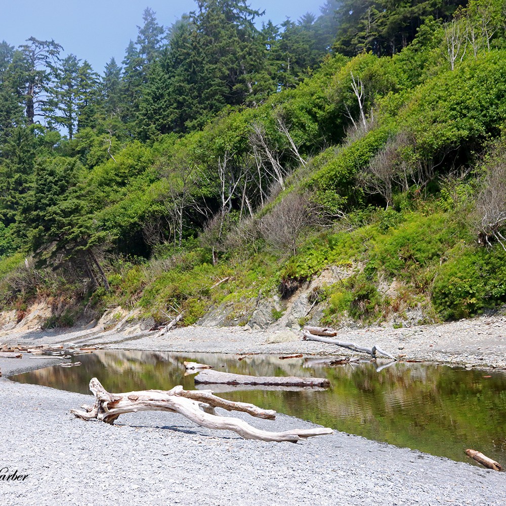
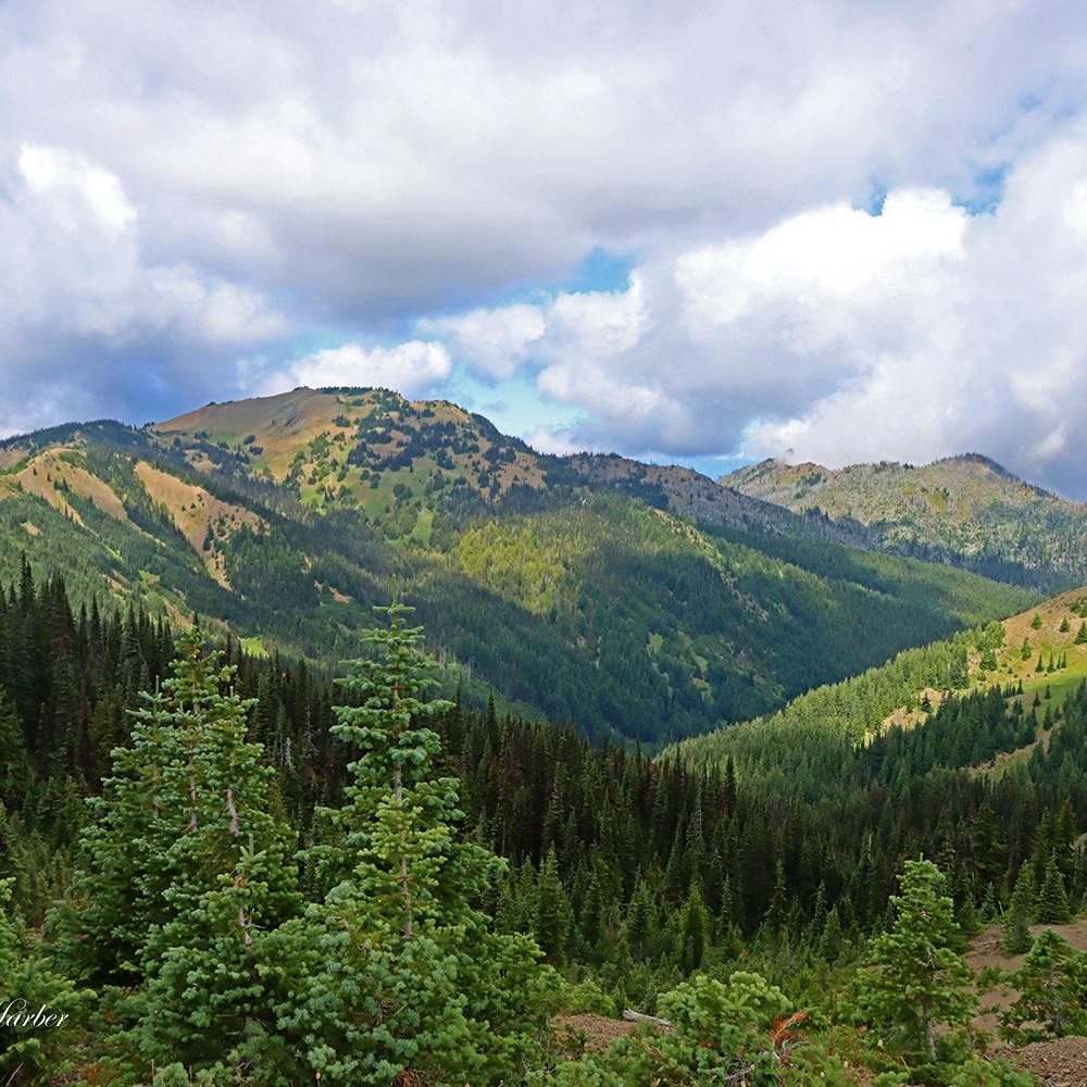
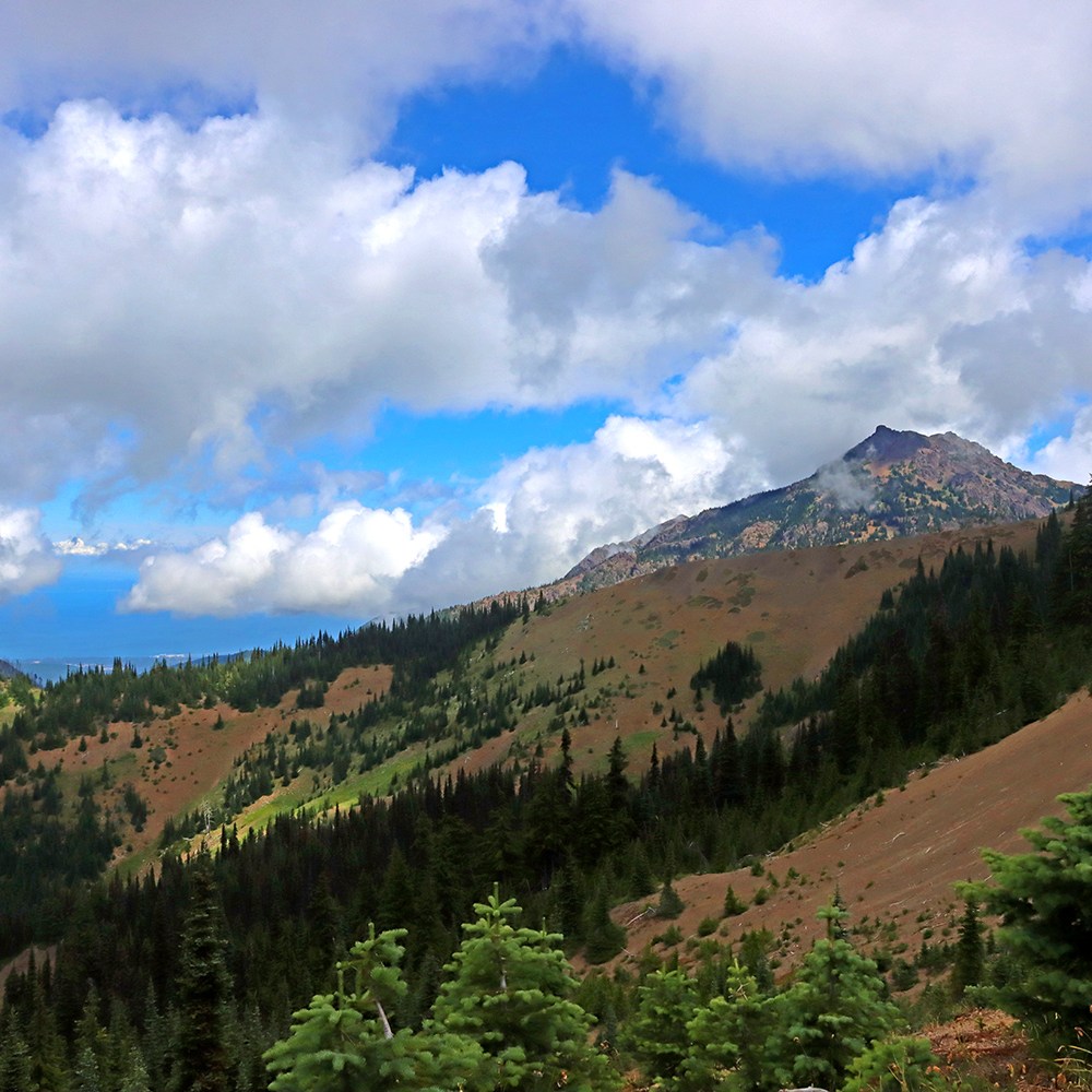
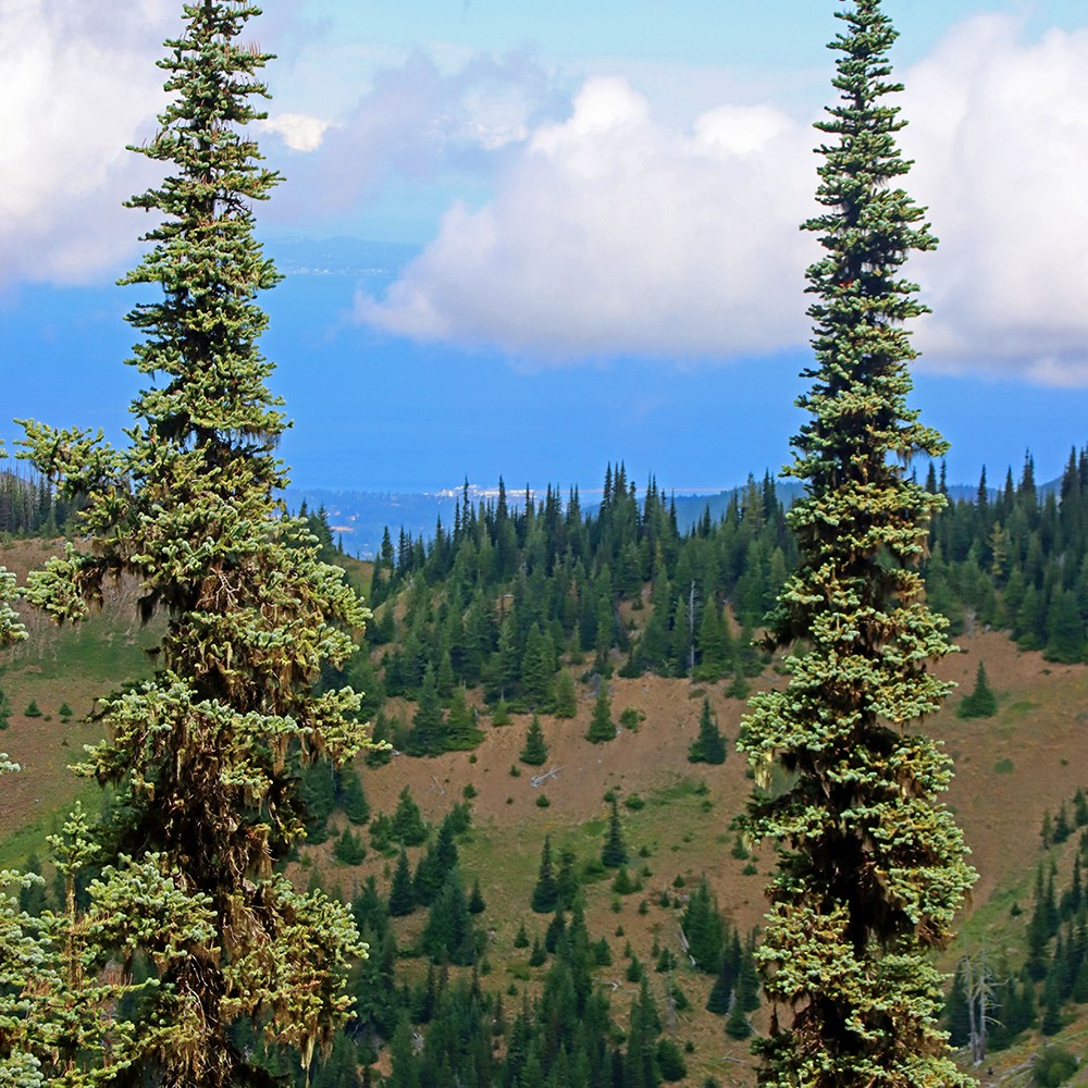
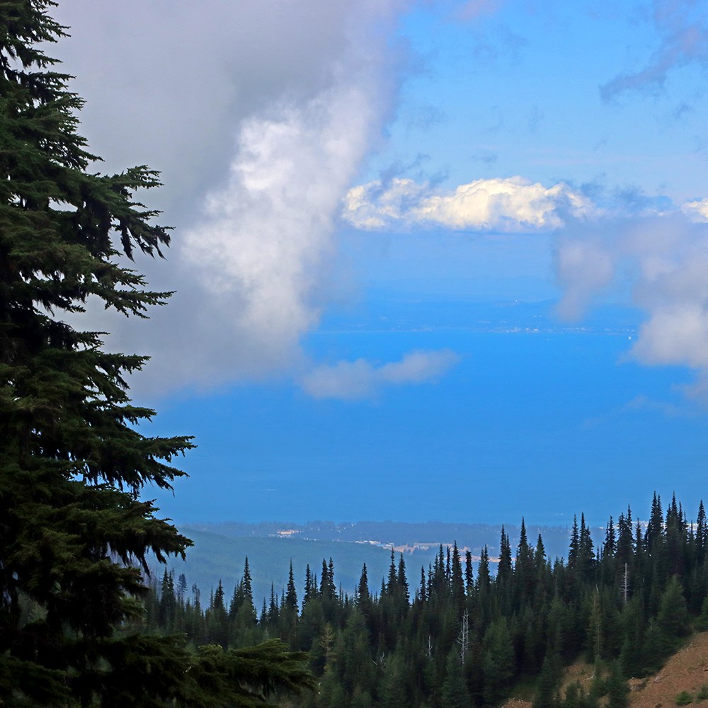
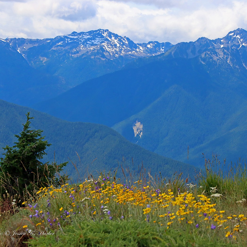
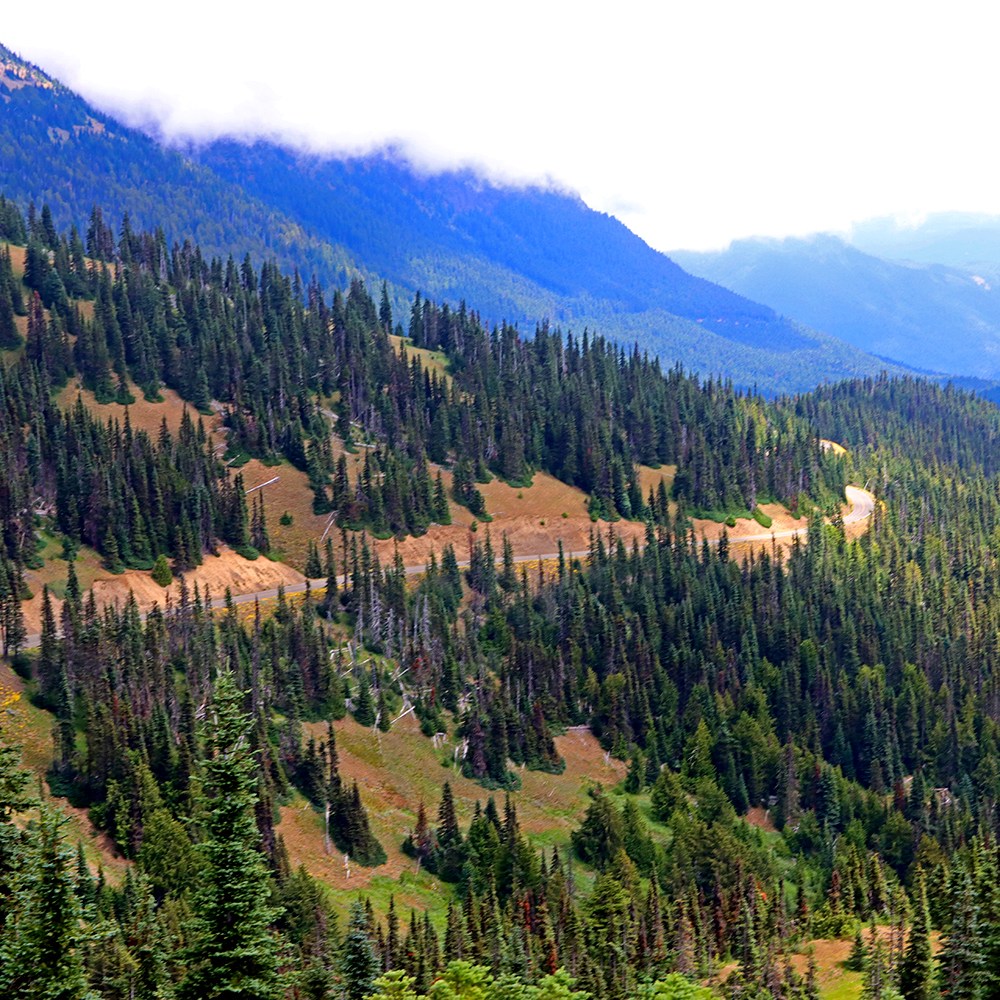
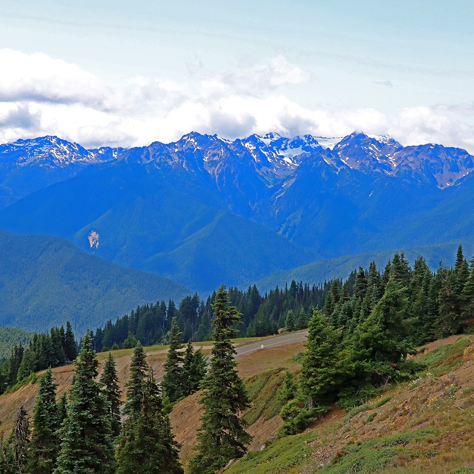
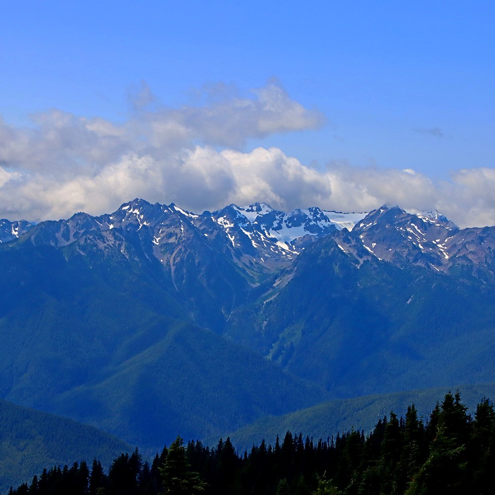
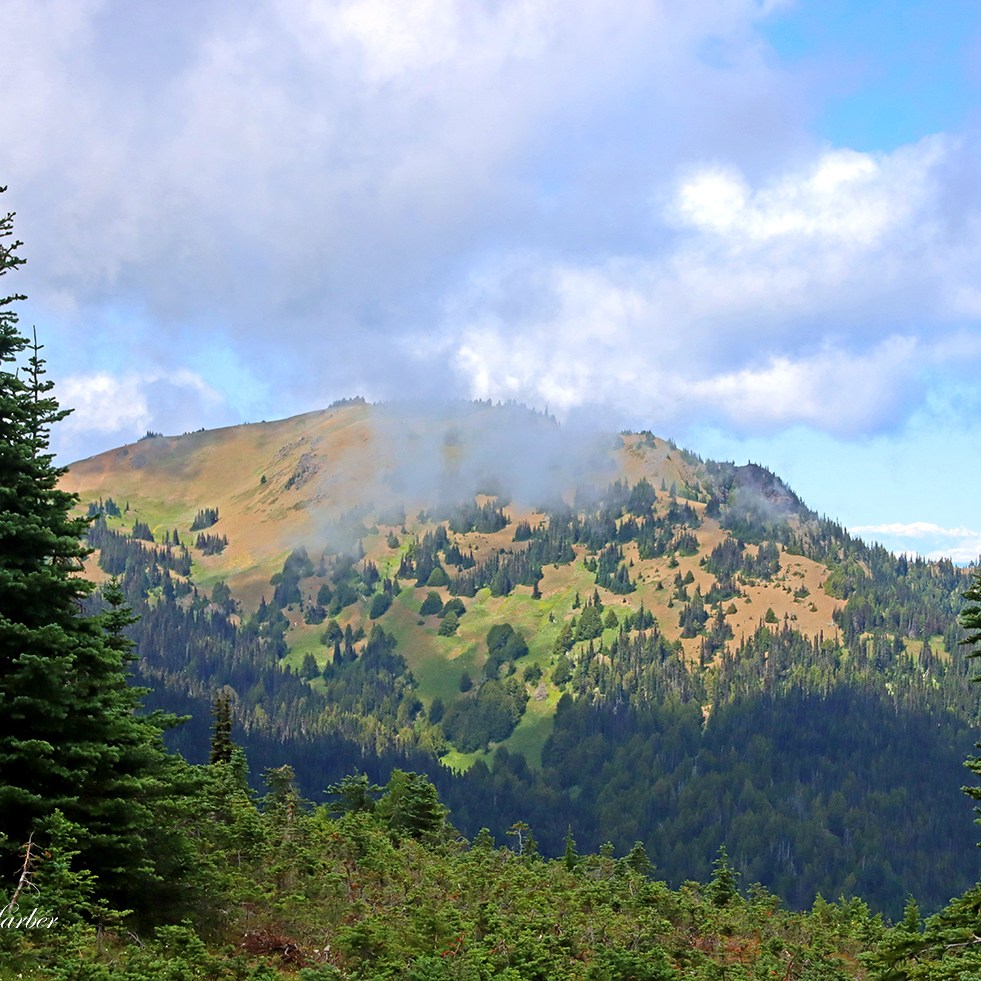
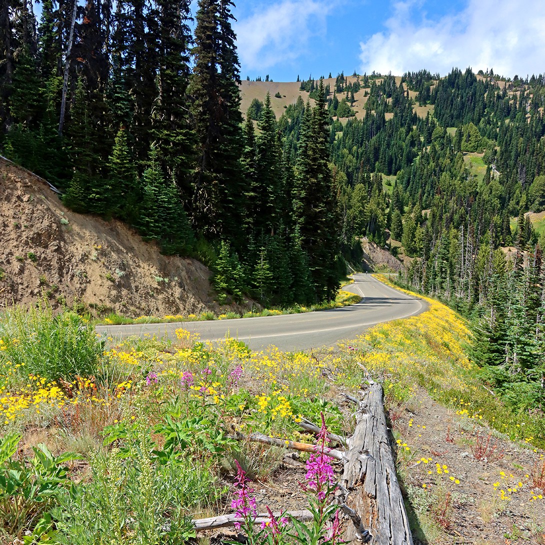
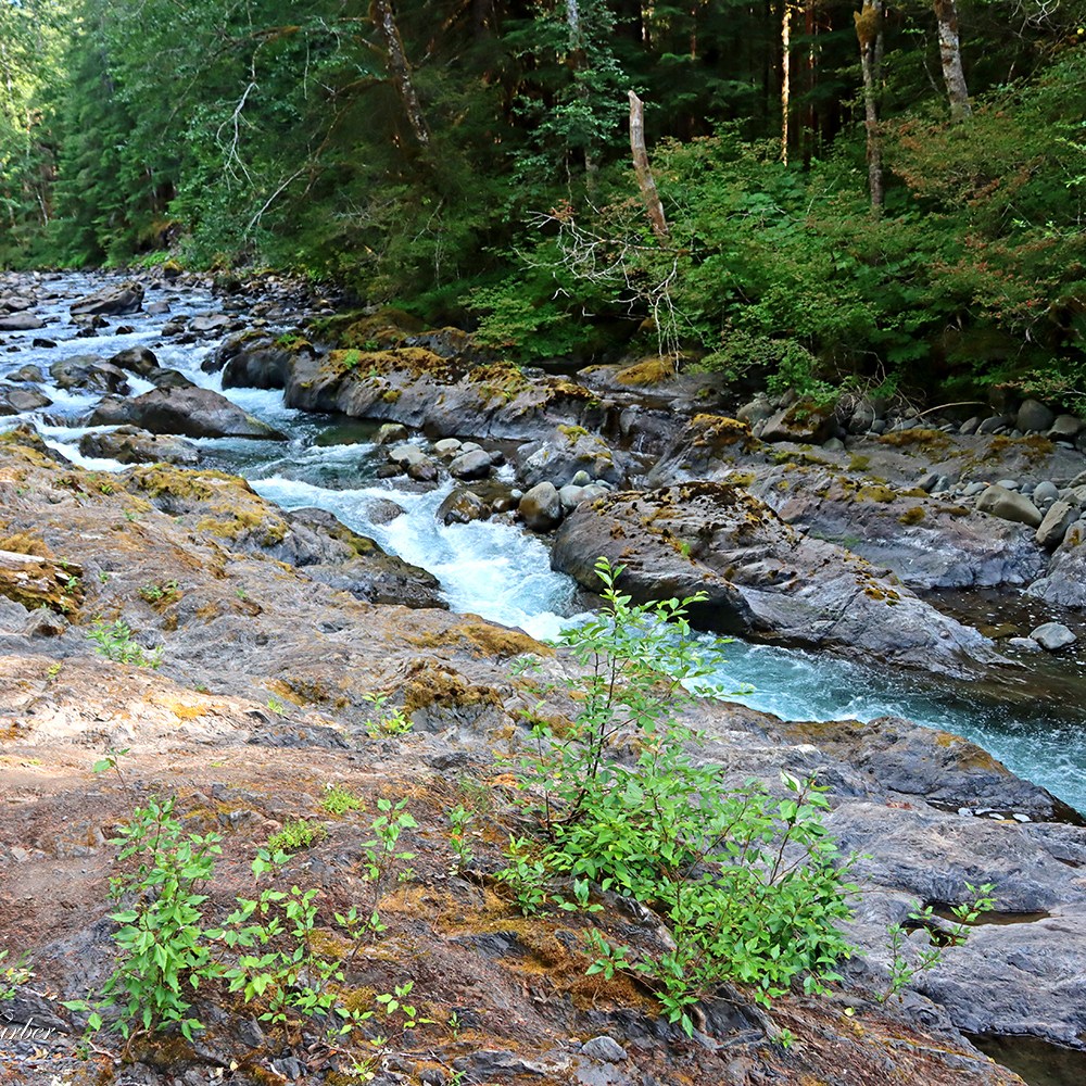
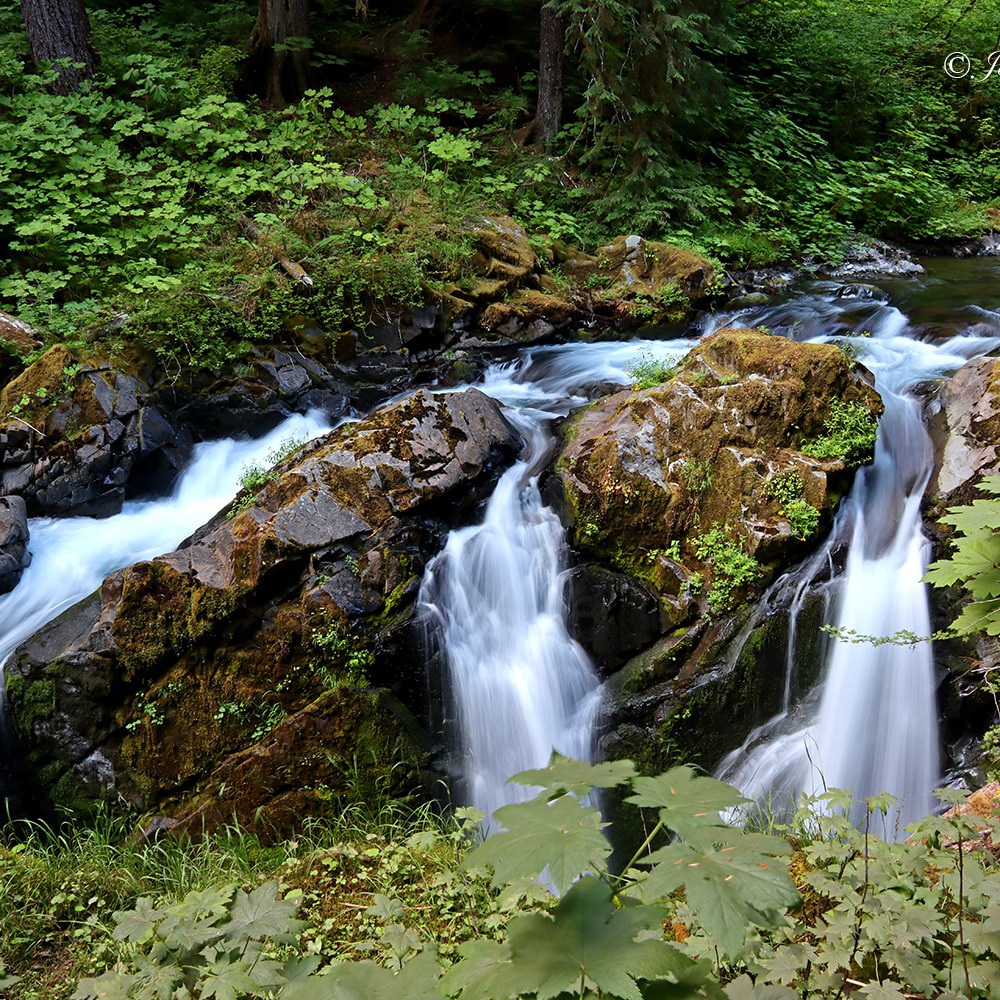
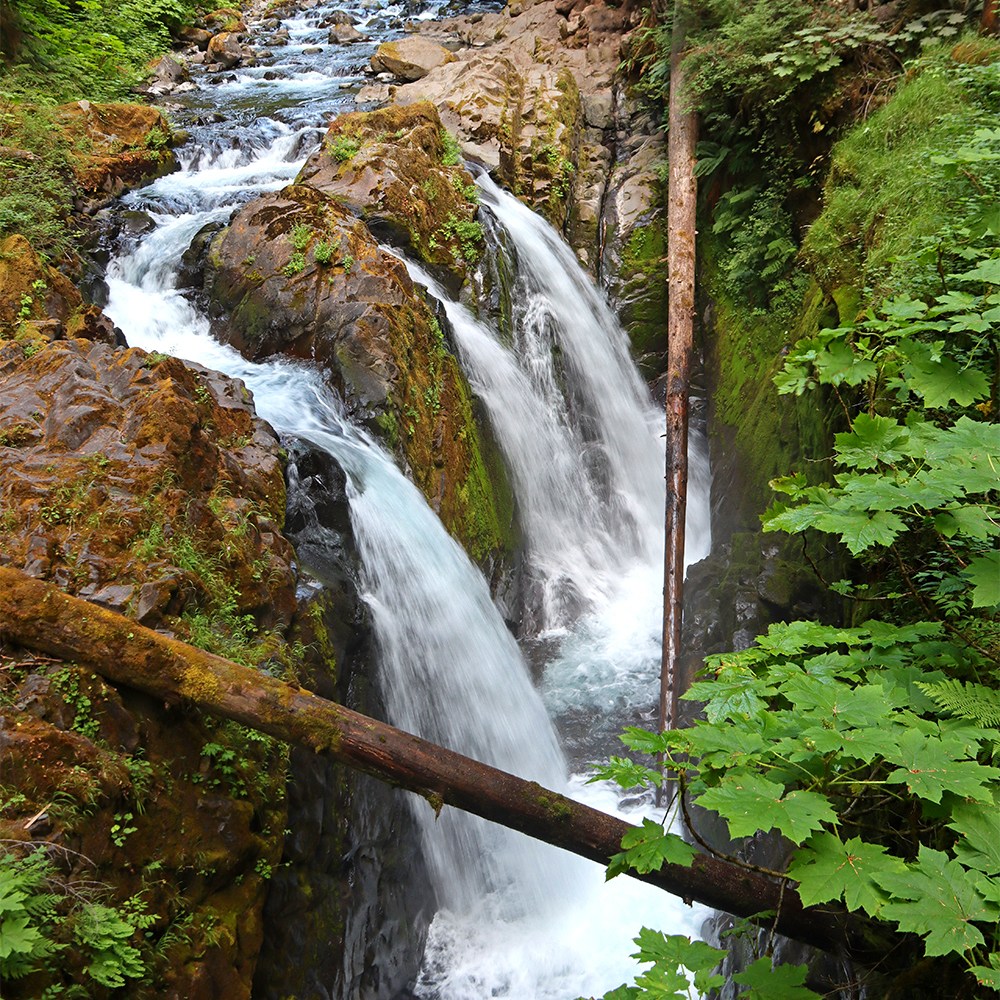
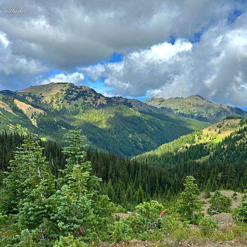
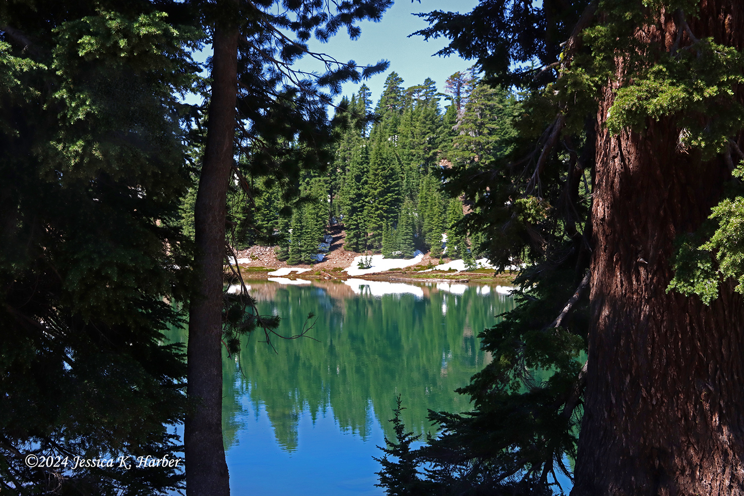
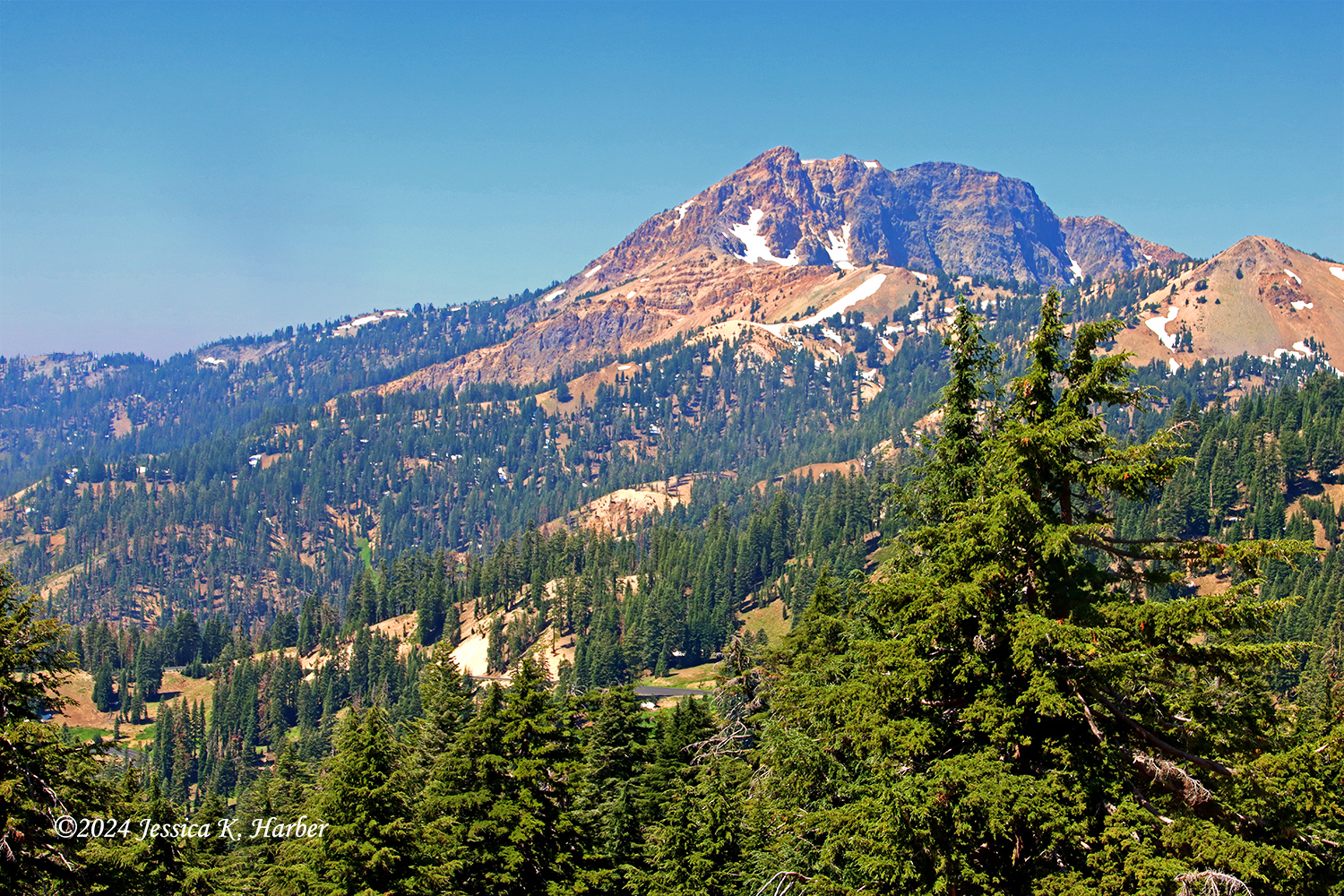
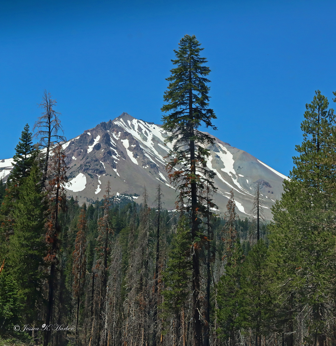
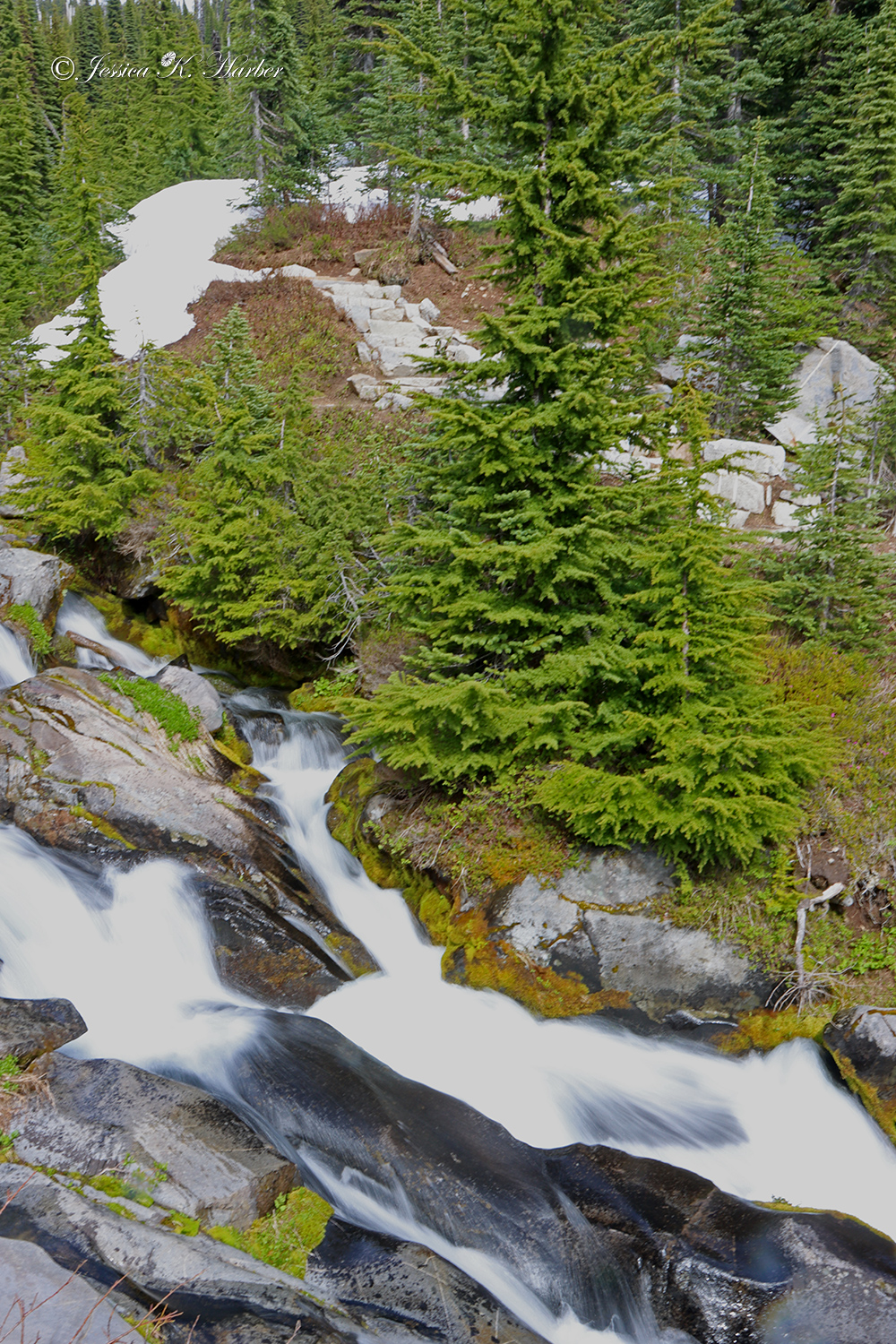
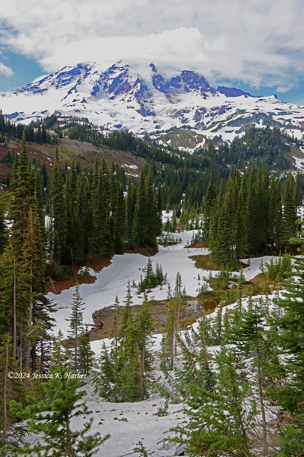
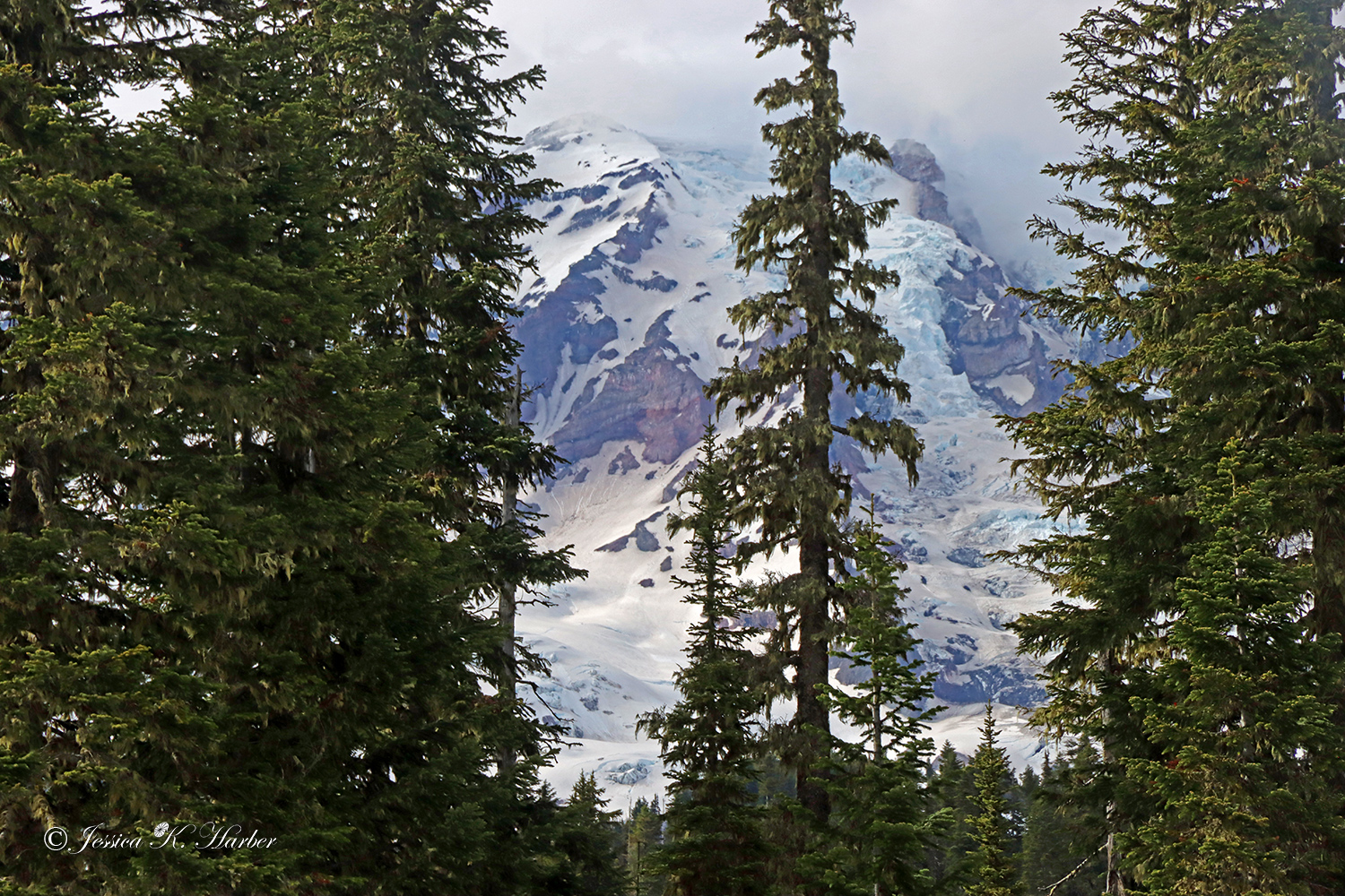
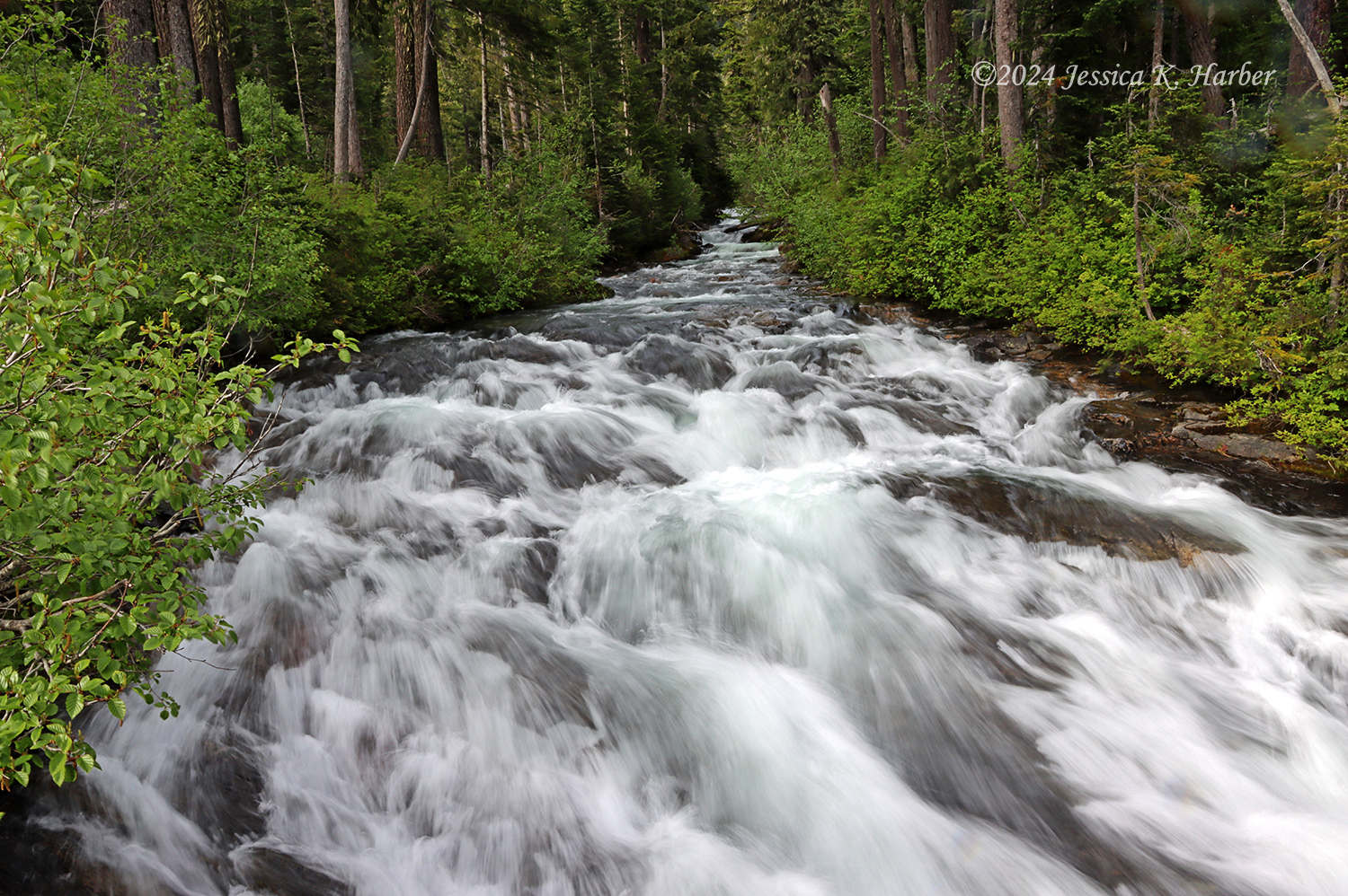
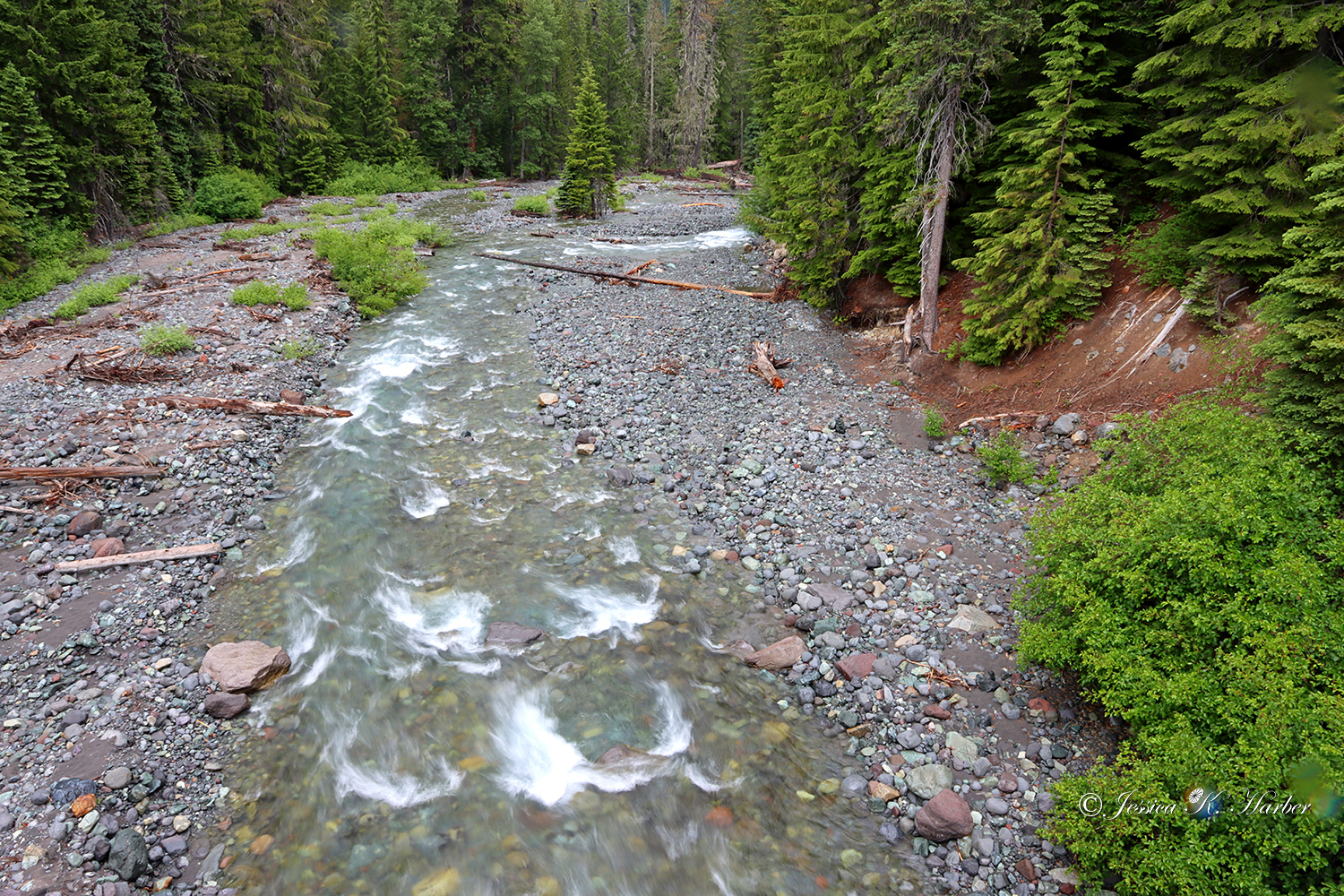
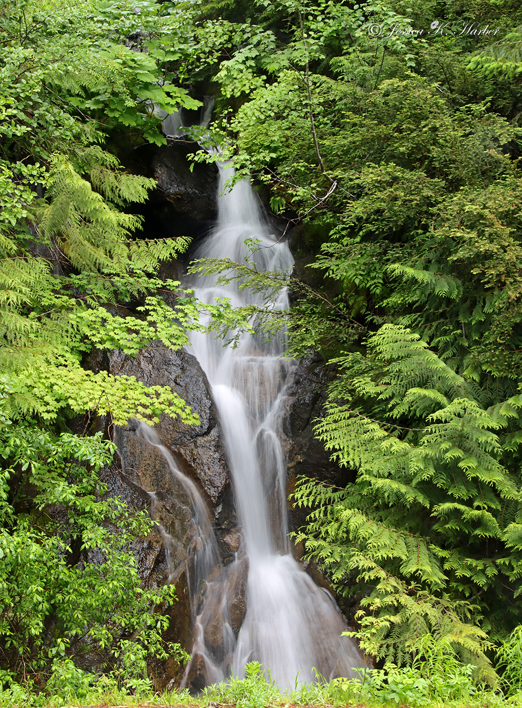
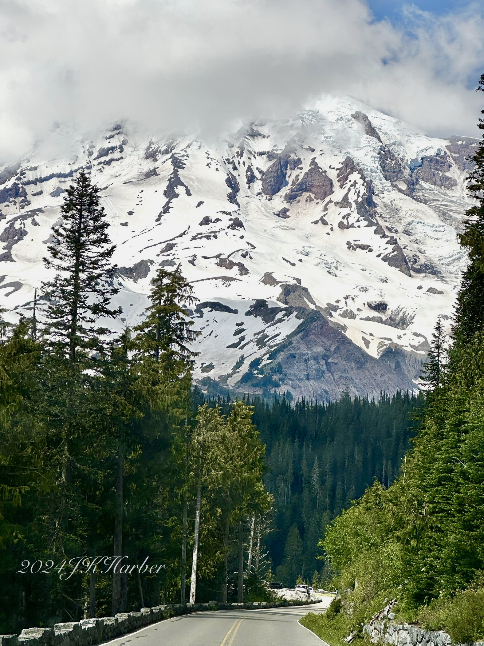
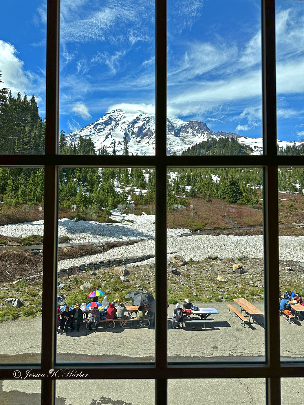
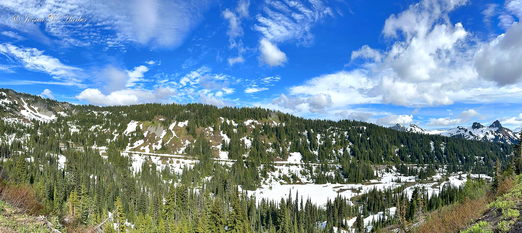
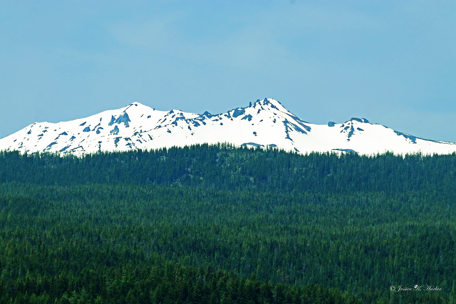
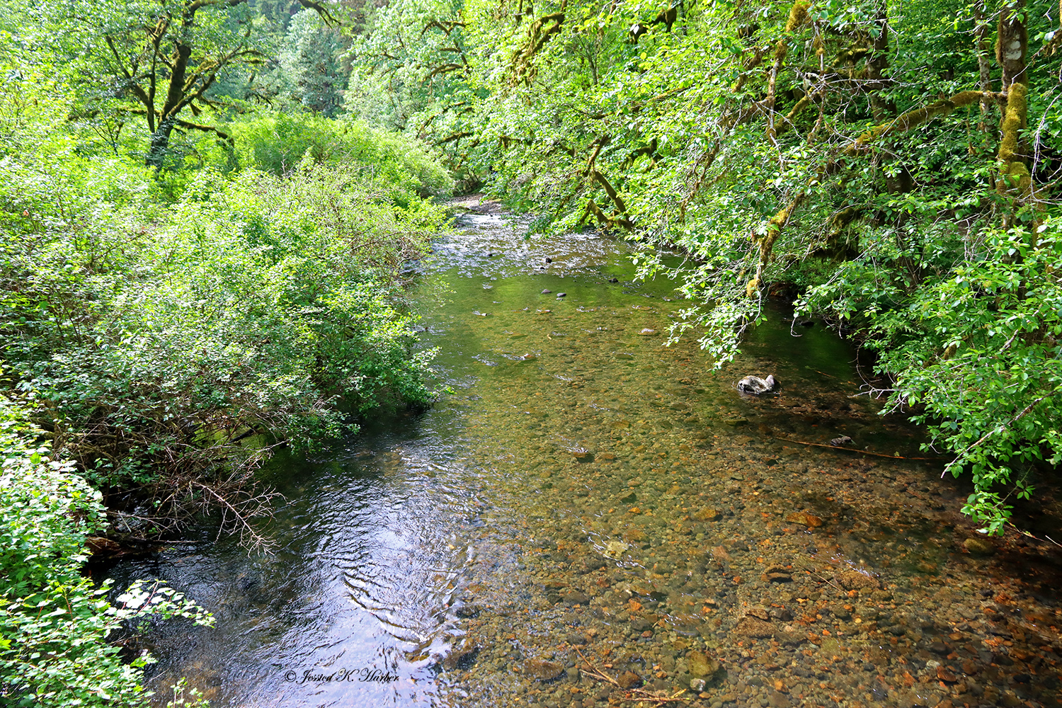
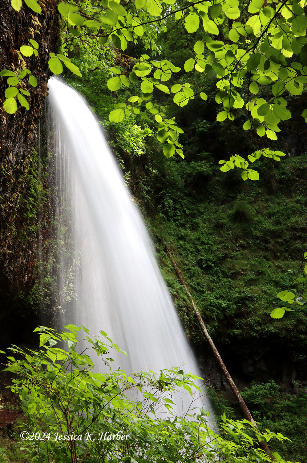
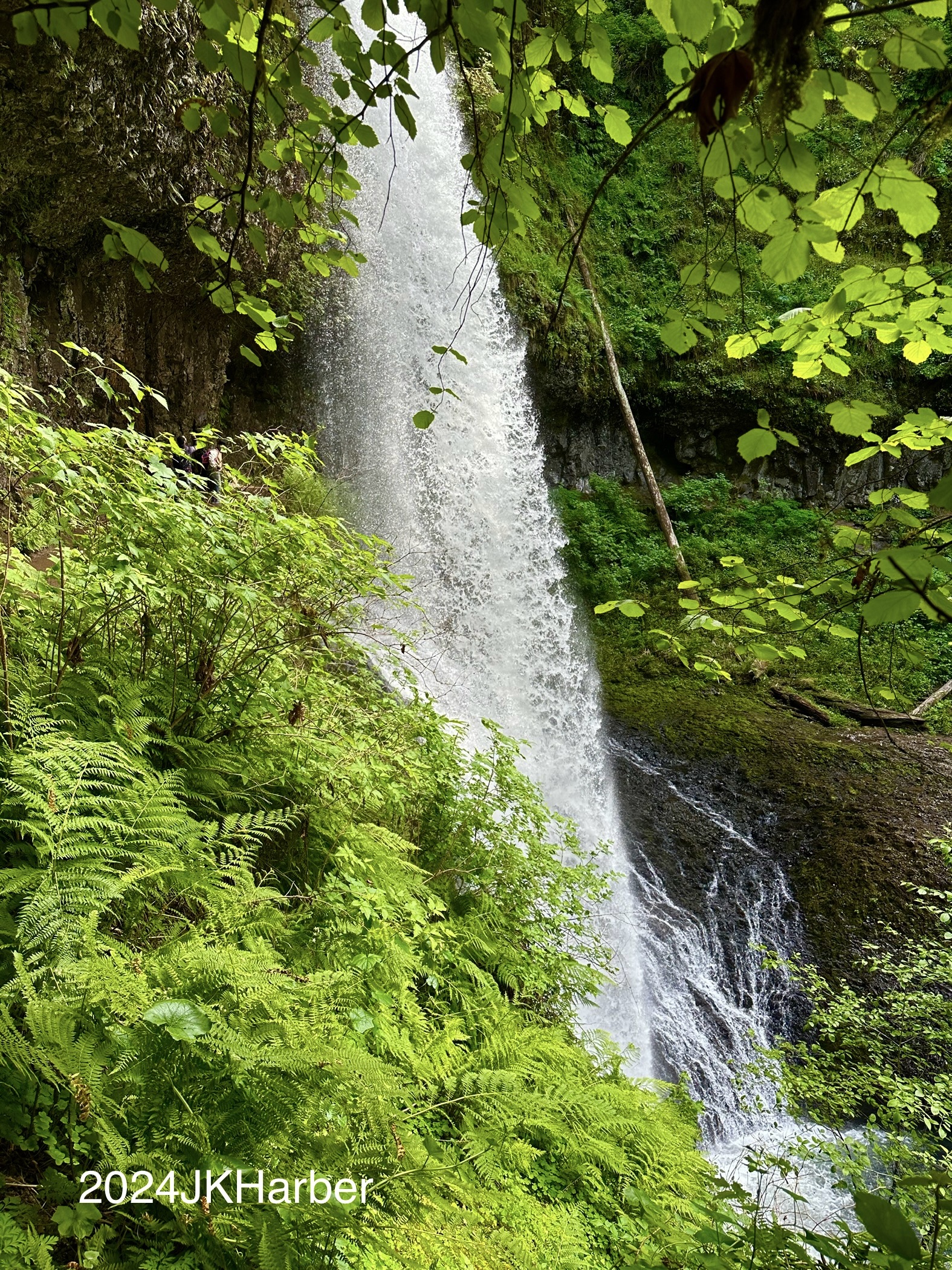
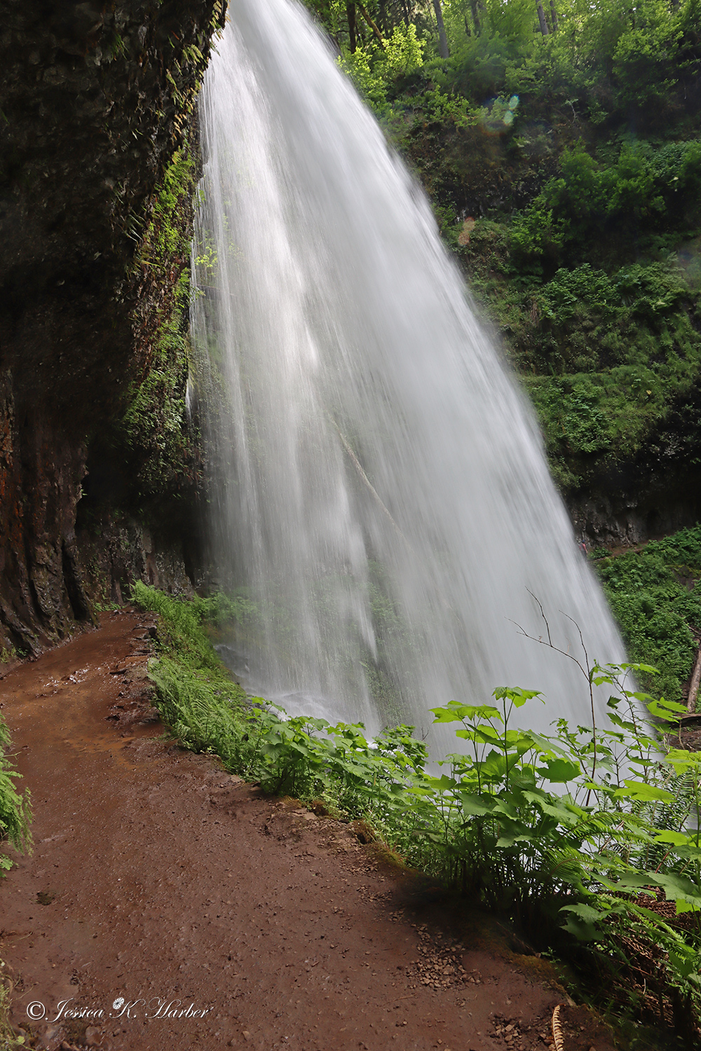
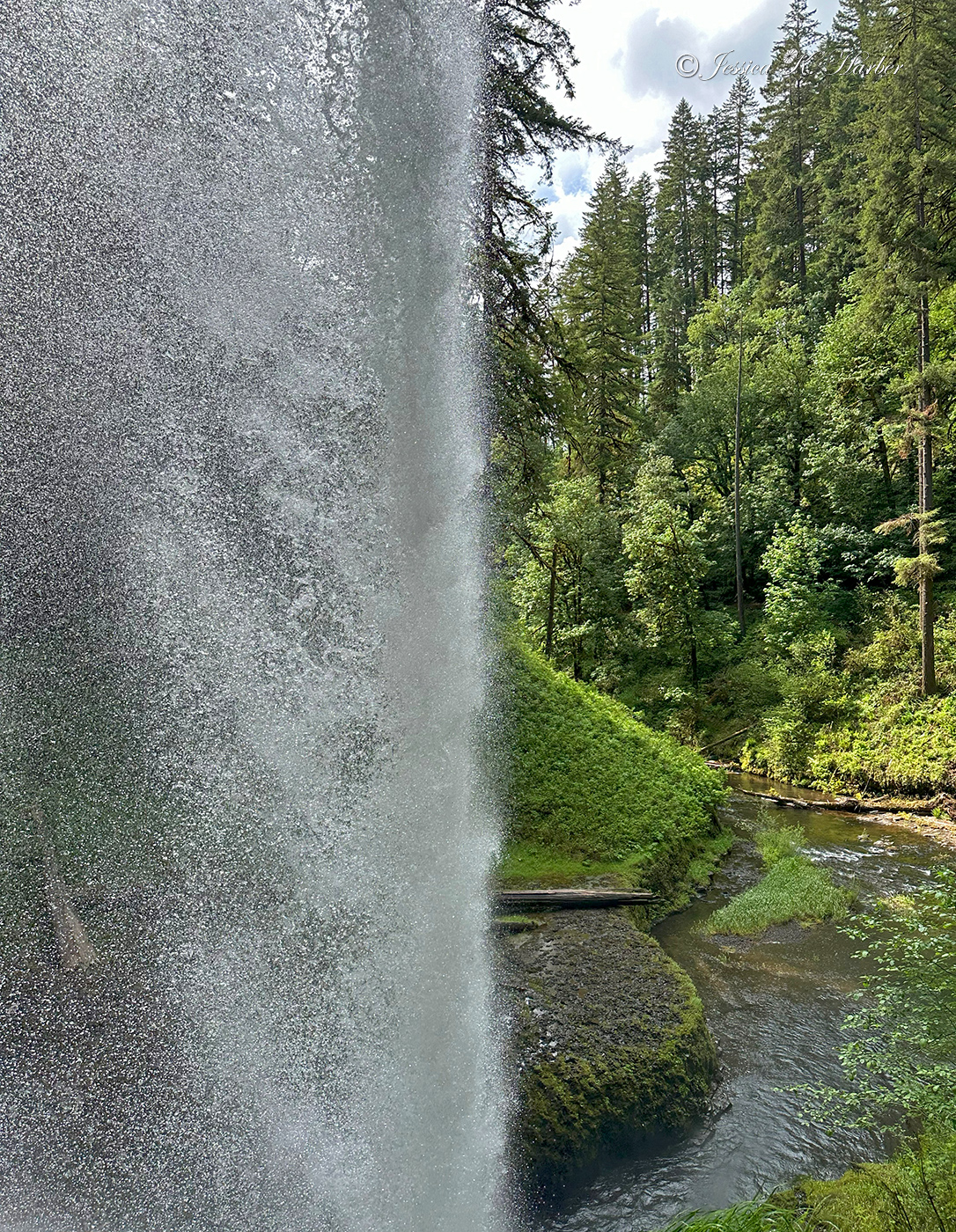
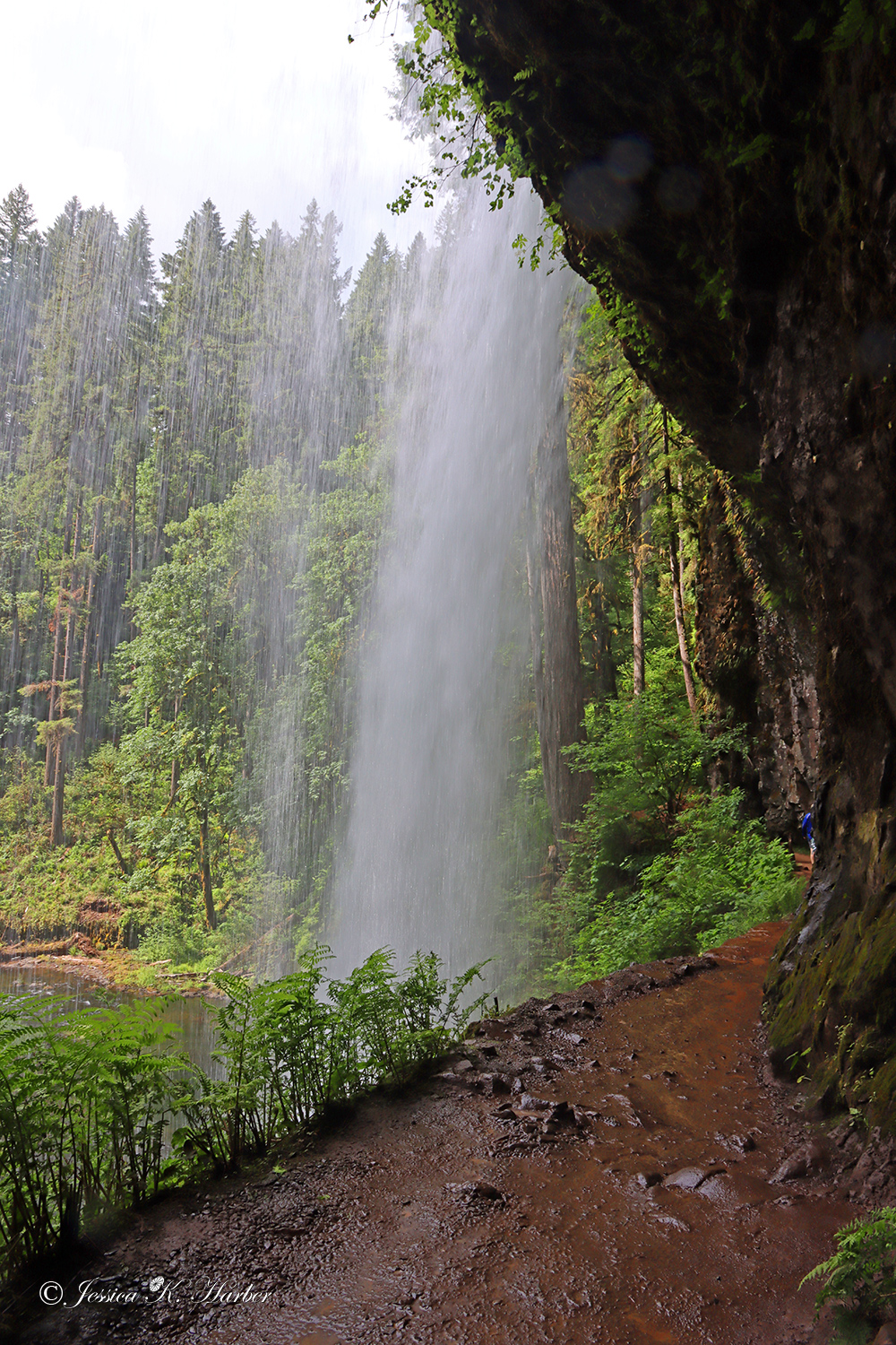
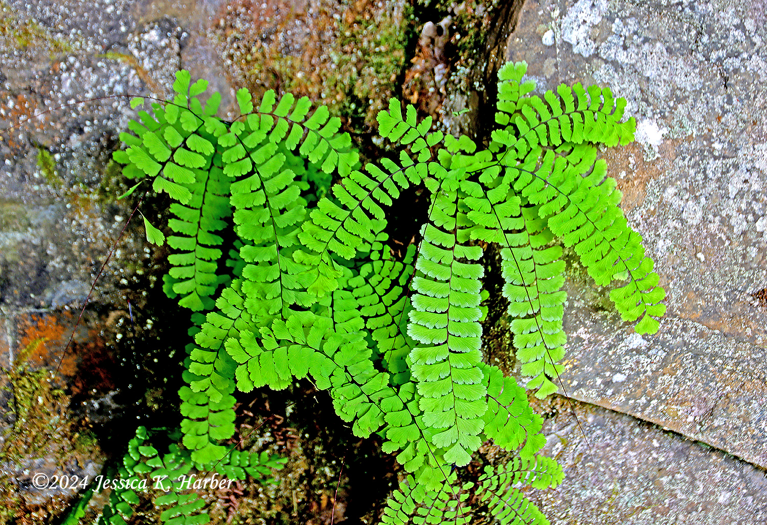
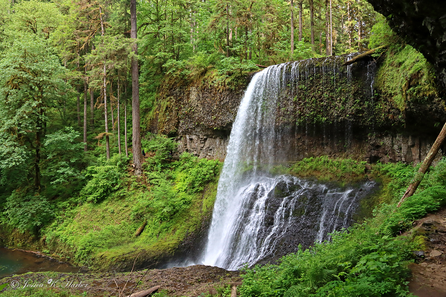
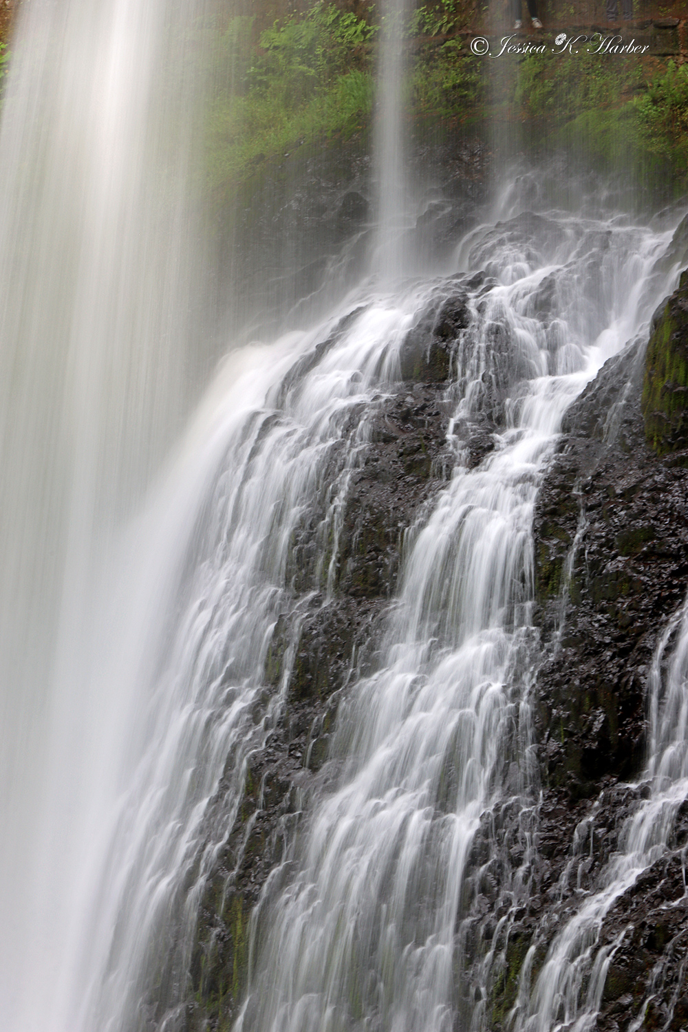
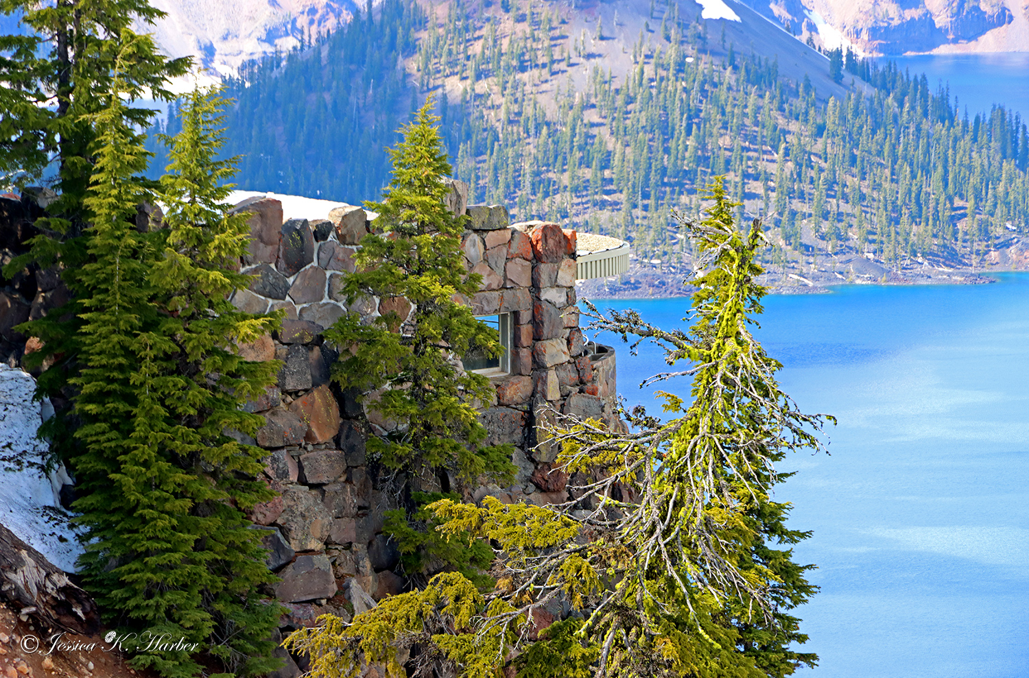
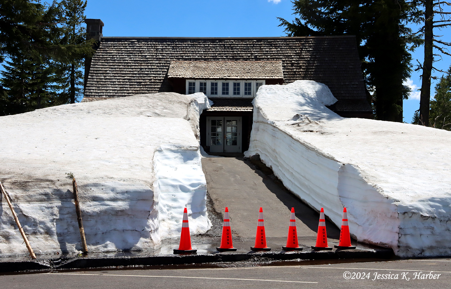
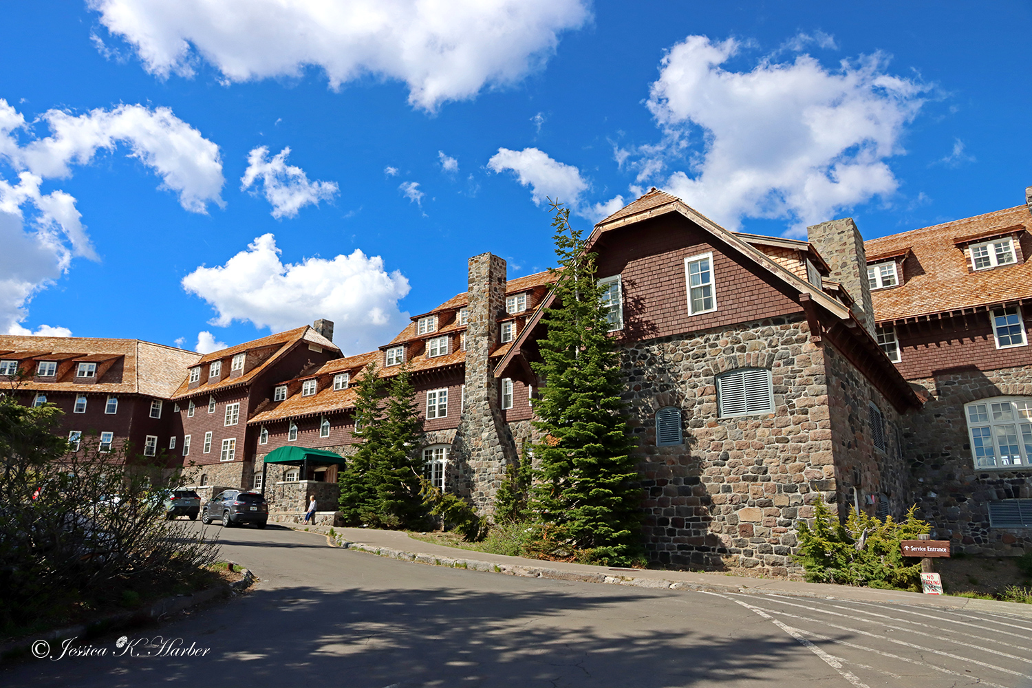
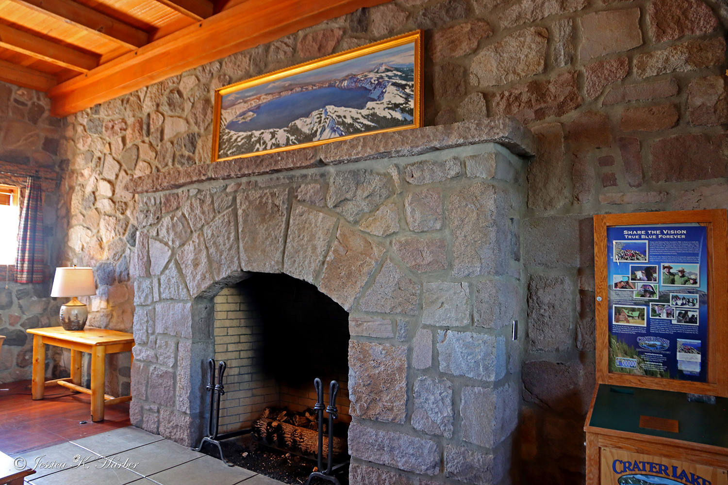
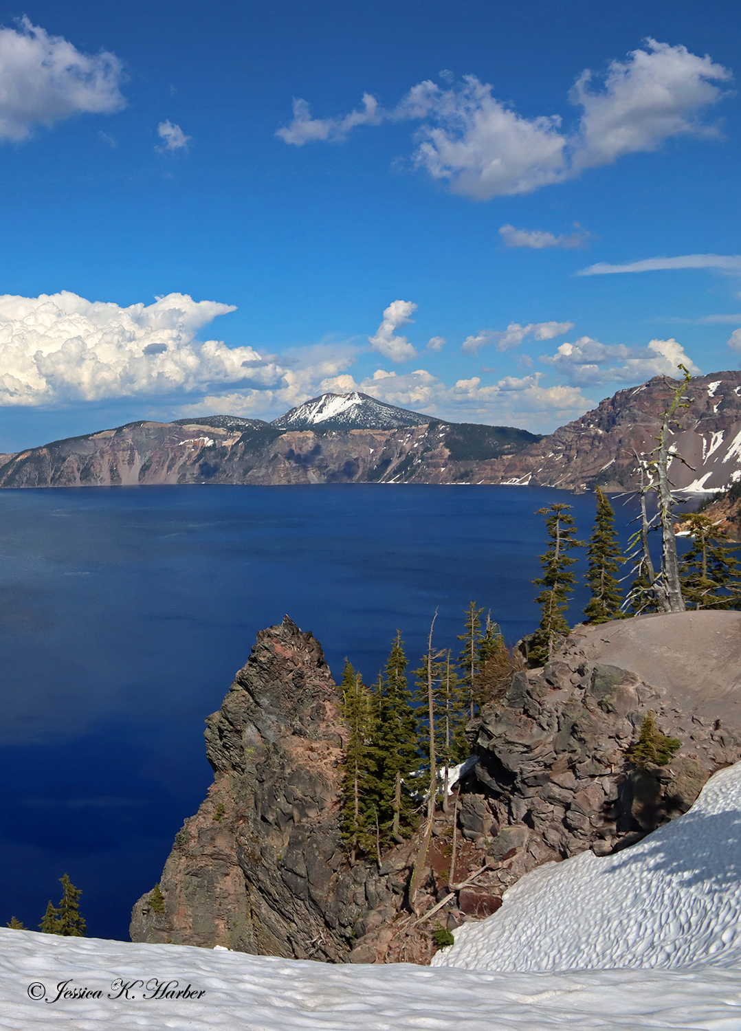
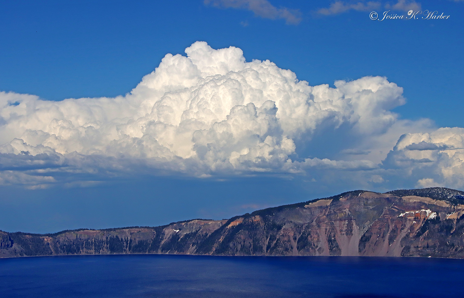
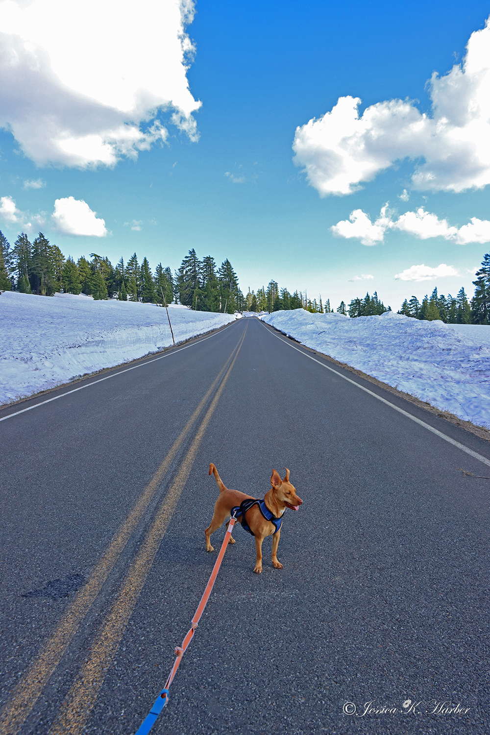
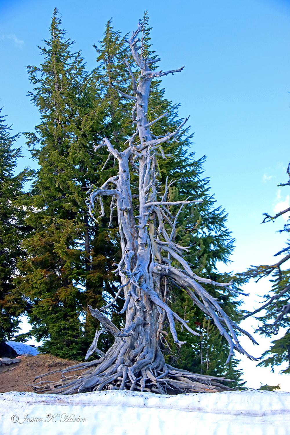
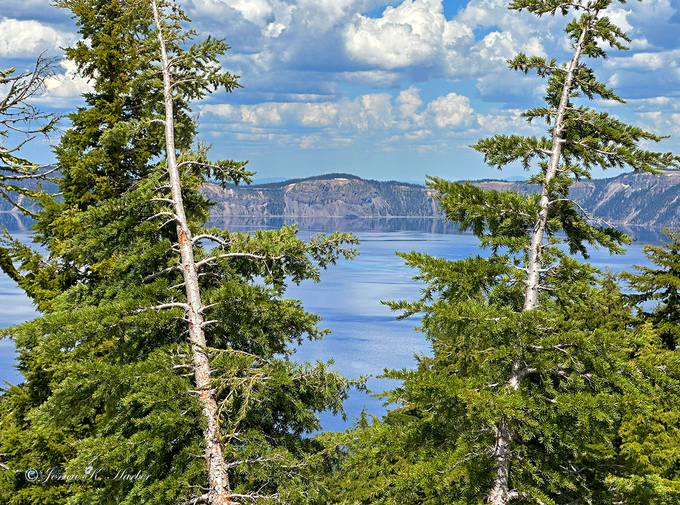
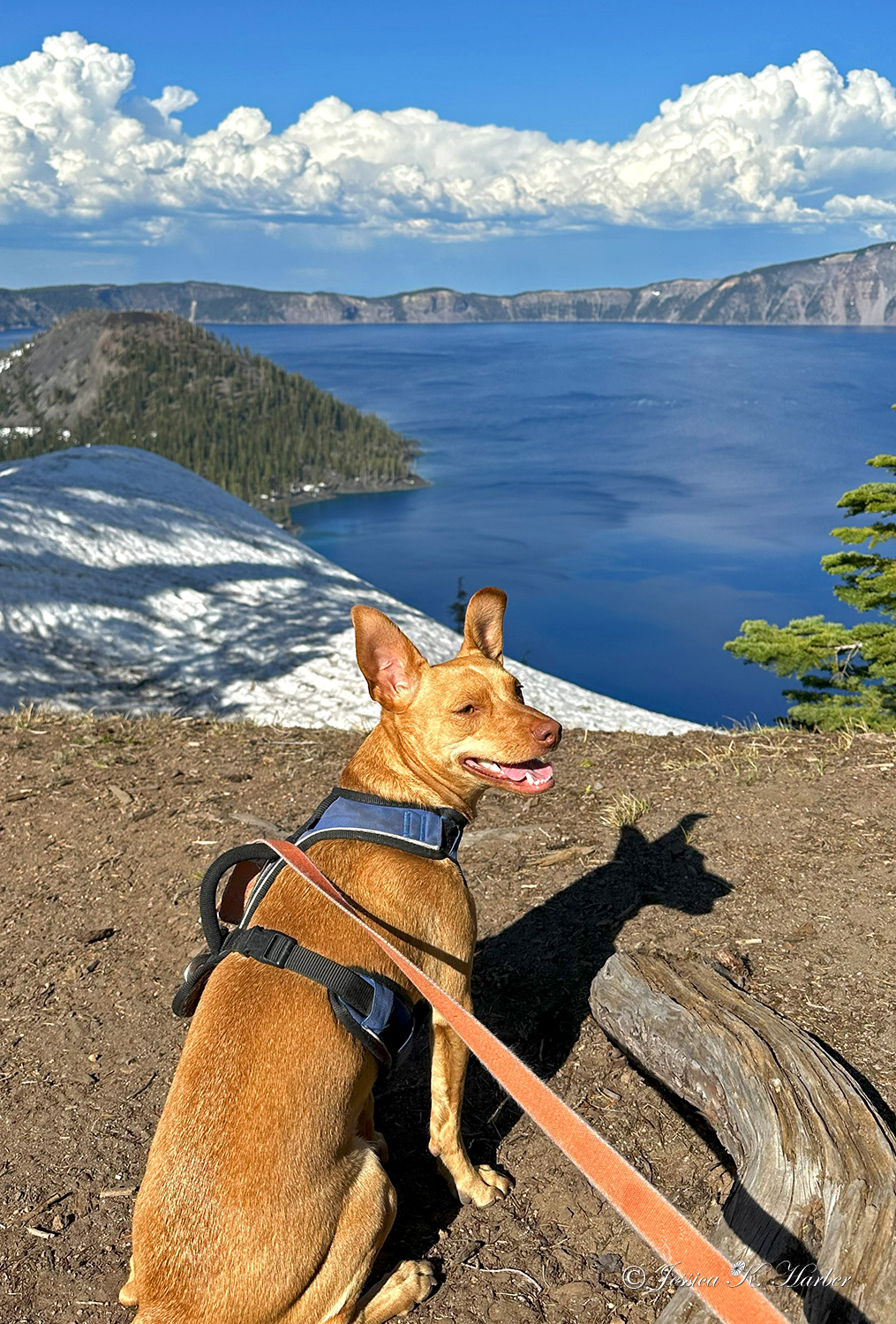
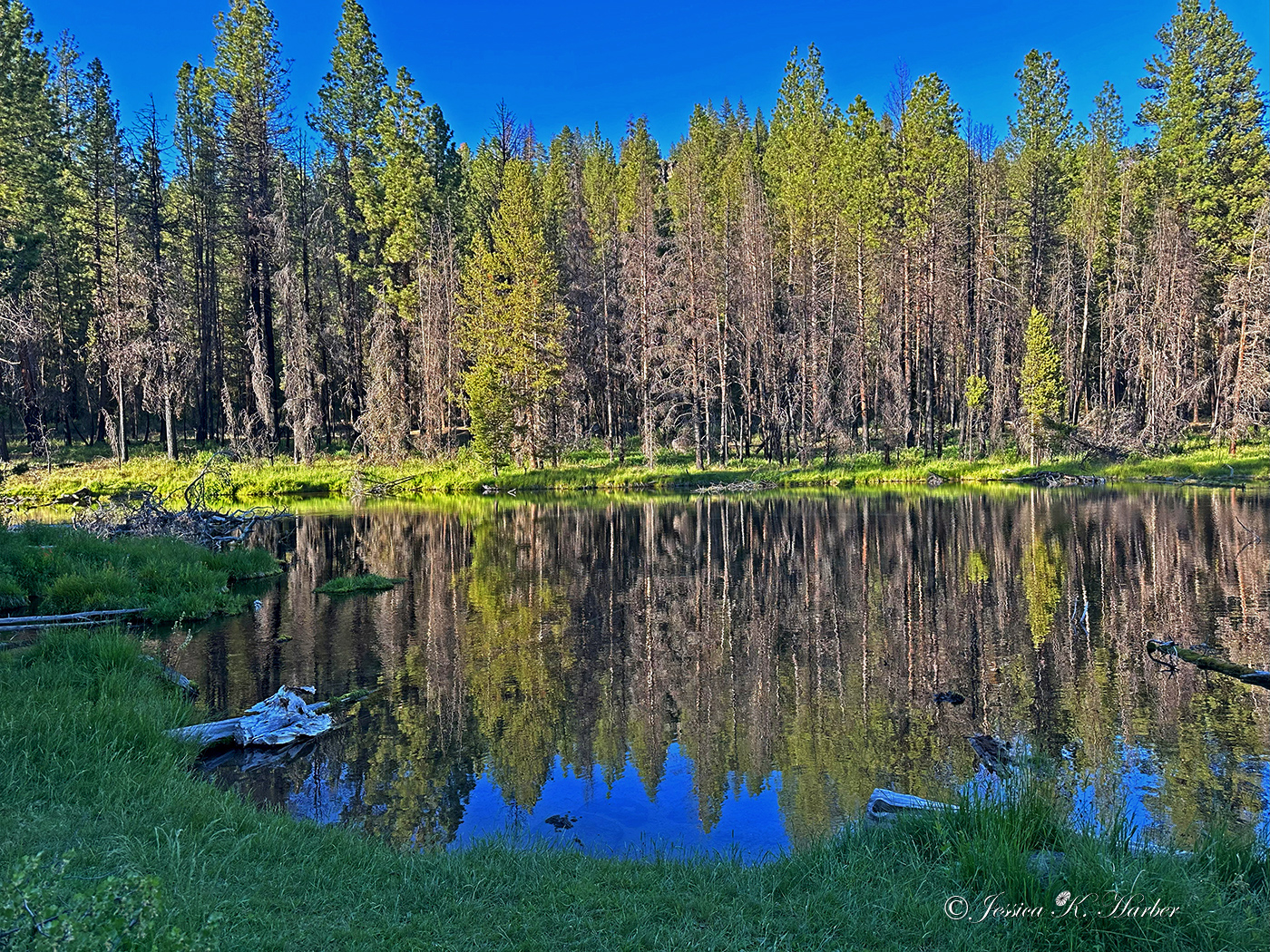
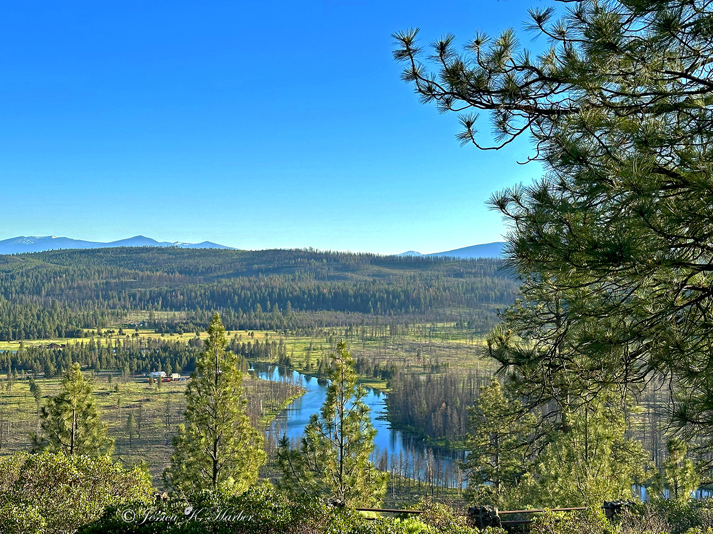
(See photo captions for more info).

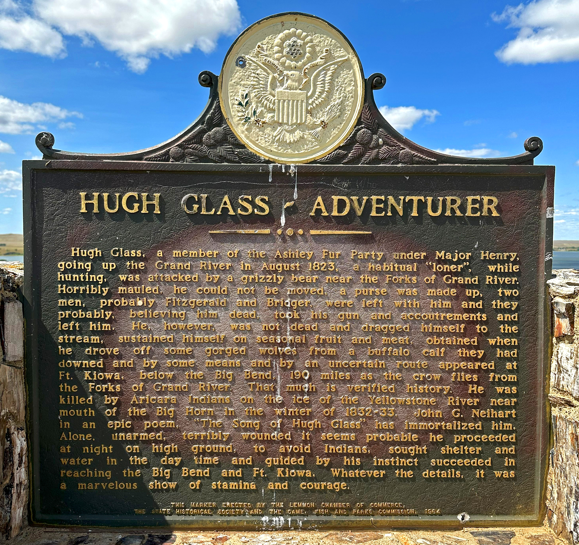
* On July 25, 1806, while descending the Yellowstone River, Clark “arived at a remarkable rock Situated in an extensive bottom on the Stard. Side of the river & 250 paces from it.” He wrote that, “this rock I ascended and from it’s top had a most extensive view in every direction. This rock which I shall Call Pompy’s Tower [named for Jean Baptiste ‘Pomp’ Charbonneau] is 200 feet high and 400 paces in secumphrance and only axcessable on one Side which is from the N. E the other parts of it being a perpendicular Clift of lightish Co­loured gritty rock on the top there is a tolerable Soil of about 5 or 6 feet thick Covered with Short grass. The Indians have made 2 piles of Stone on the top of this Tower. The nativs have ingraved on the face of this rock the figures of animals &c. near which I marked my name and the day of the month & year.”

Although Clark named the feature “Pompys Tower” in his original journal entry, Nicholas Biddle altered the name to “Pompey’s Pillar” for the 1814 published history of the expedition. Clark’s inscription is the only known visible evidence of the entire journey that remains intact. Pompeys Pillar was established as a national monument in 2001. An on-site visitor center interprets the expedition’s travels through the Yellowstone River valley.

Olympic National Park

Next, we headed out of Oregon and into Washington. One thing that has come out of traveling full-time is that I am being educated geographically regarding the western side of the country. For example, I didn’t know Portland, Oregon, and Vancouver, Washington, are basically the same metropolitan area, separated by the Columbia River. Although it was interesting to discover this, as usual these days, I am quite happy to leave big cities in the rear-view mirror.

Olympic National Park was probably the biggest surprise for me to this point, as far as national parks are concerned. I found it to be the most diverse of all the ones I’ve visited – from beaches with amazing low-tide creatures to towering snow-capped mountains.

Lassen Volcanic National Park

First, a few more sights along the way and then back to California to Lassen Volcanic National Park. Lassen is small but packs in a lot of variety and beauty. One day, when I drove into the park from our nearby campground to get a signal, I was very excited to see a cinnamon black bear–a first for me. Unfortunately, I didn’t have my camera with me, but took a few shots and video with my phone, both of which are below. The Park features mountains, lakes, wildflowers, mud pots, and snow in July!
Still photo gallery first, followed by a few videos.

Videos:

Mount Rainier National Park

Mount Rainier NP was a surprise. I knew very little about it before I went and found it to be very, very beautiful. When I visited in June of the year, there was still a good bit of snow and water flowing *everywhere*. Also, lots of wildflowers, which I love. The only wildlife I saw were marmots, but I always enjoy seeing them. It was also very crowded at that time, so I don’t know if a different time of year would be better for a visit. I definitely recommend a visit at some point, however.
(no photo captions this time; I may add some later)

Silver Falls State Park, Oregon

After a “false start”, I made my way to Silver Falls State Park where I had been planning to go for a long time. It has a seven-mile trail on which you can see ten waterfalls! (Waterfalls have always been one of my favorite photographic subjects.) Since I had to leave Sadie in my vehicle (with the A/C on), I wasn’t able to see all of the falls but really enjoyed this hike. Water, water everywhere–and ferns, moss, and lots of green. My kind of place.
As usual, more info in the photo captions.

Crater Lake National Park

At first, I tried to disperse camp for my visit to Crater Lake, but the road into the location I found online looked too dicey for my rig. Instead, with the help of employees of a state park, I found myself at the Forest Service Williamson River campground. To my delight, when I arrived, I discovered they weren’t yet charging a fee, but that changed later on in my short stay. It was a basic but nice campground.
Crater Lake was amazing. I’ve never seen water so blue. Remarkably, my visit during the first week of June was still too early for all the roads to be opened. (The yearly average snowfall is 41 feet!) One advantage of road closures was that we were able to walk on the Rim Road–and I was able to take Sadie. It was great to see so much snow but I want to go again later in the summertime so I can explore the entire park.
After my Park visit, I found another route to the dispersed camping area and moved there before proceeding to my next destination.