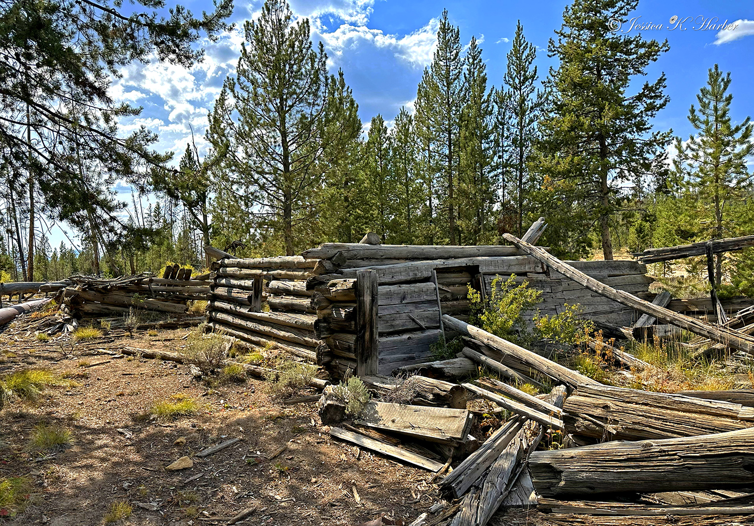
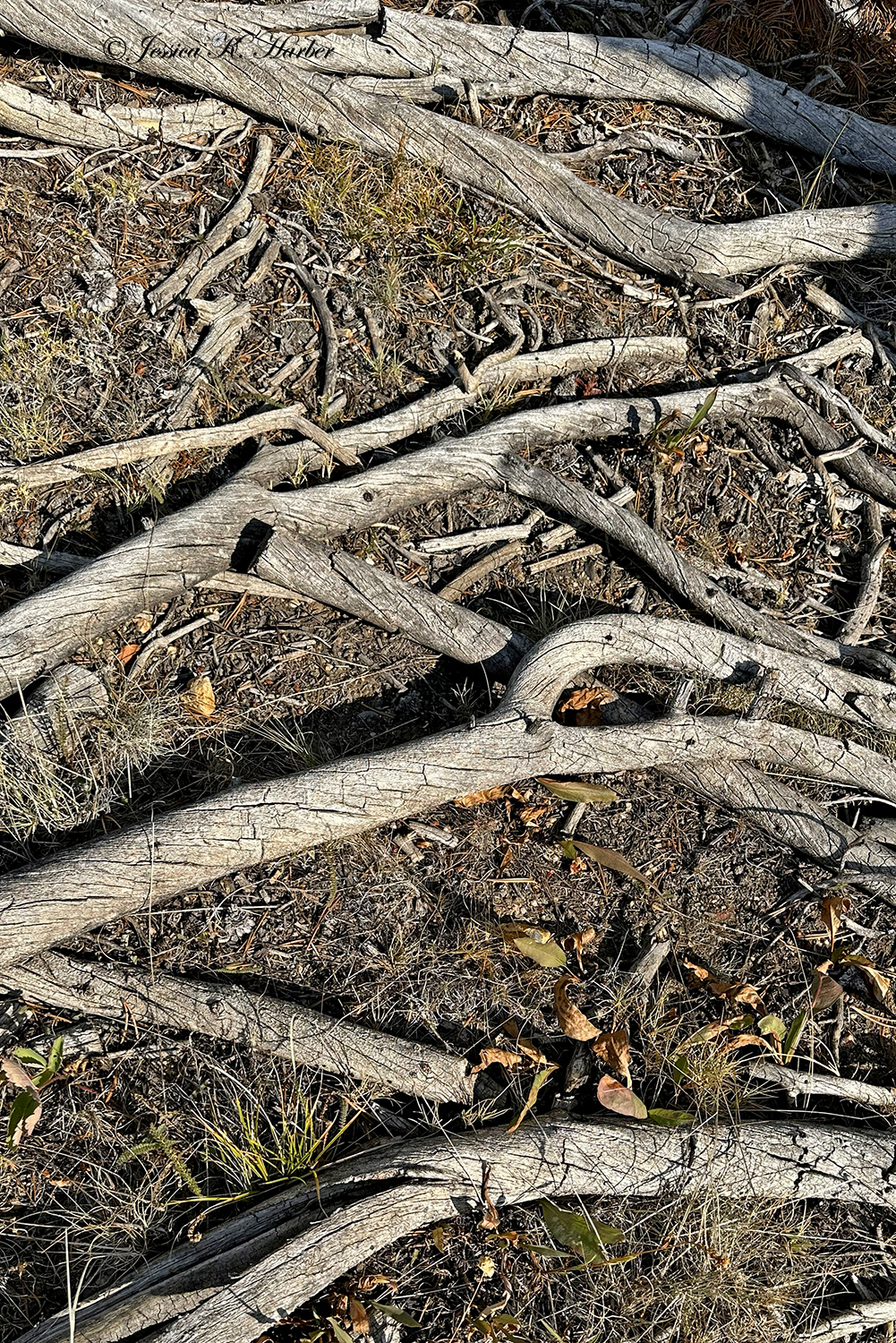
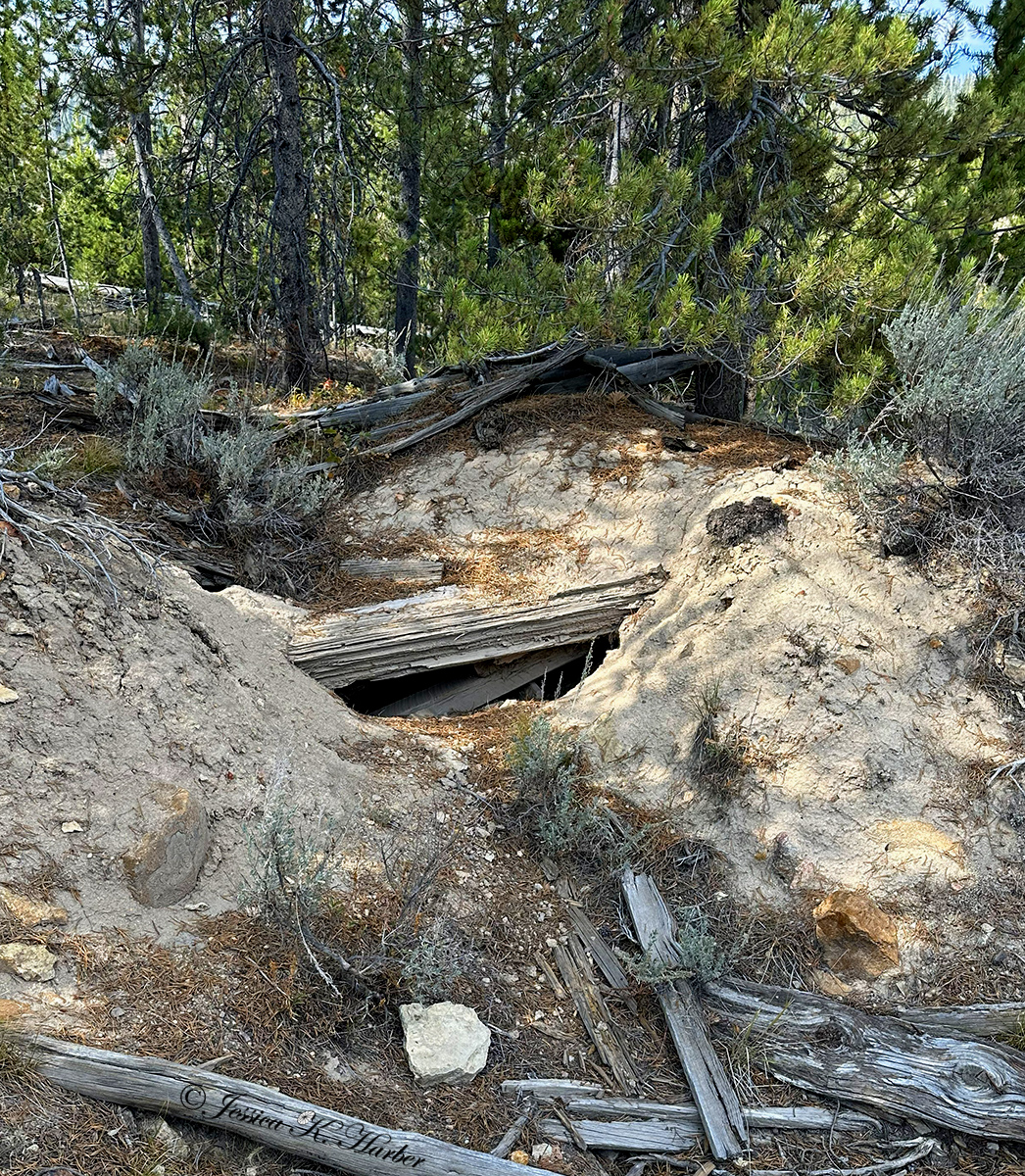
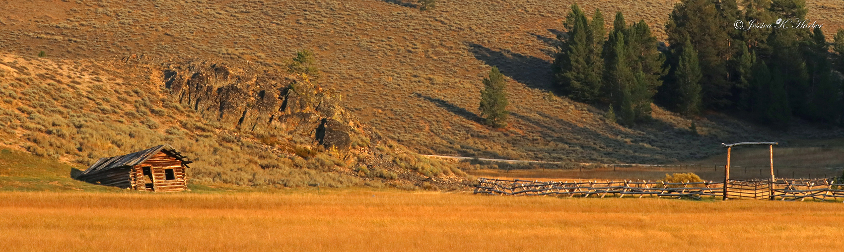
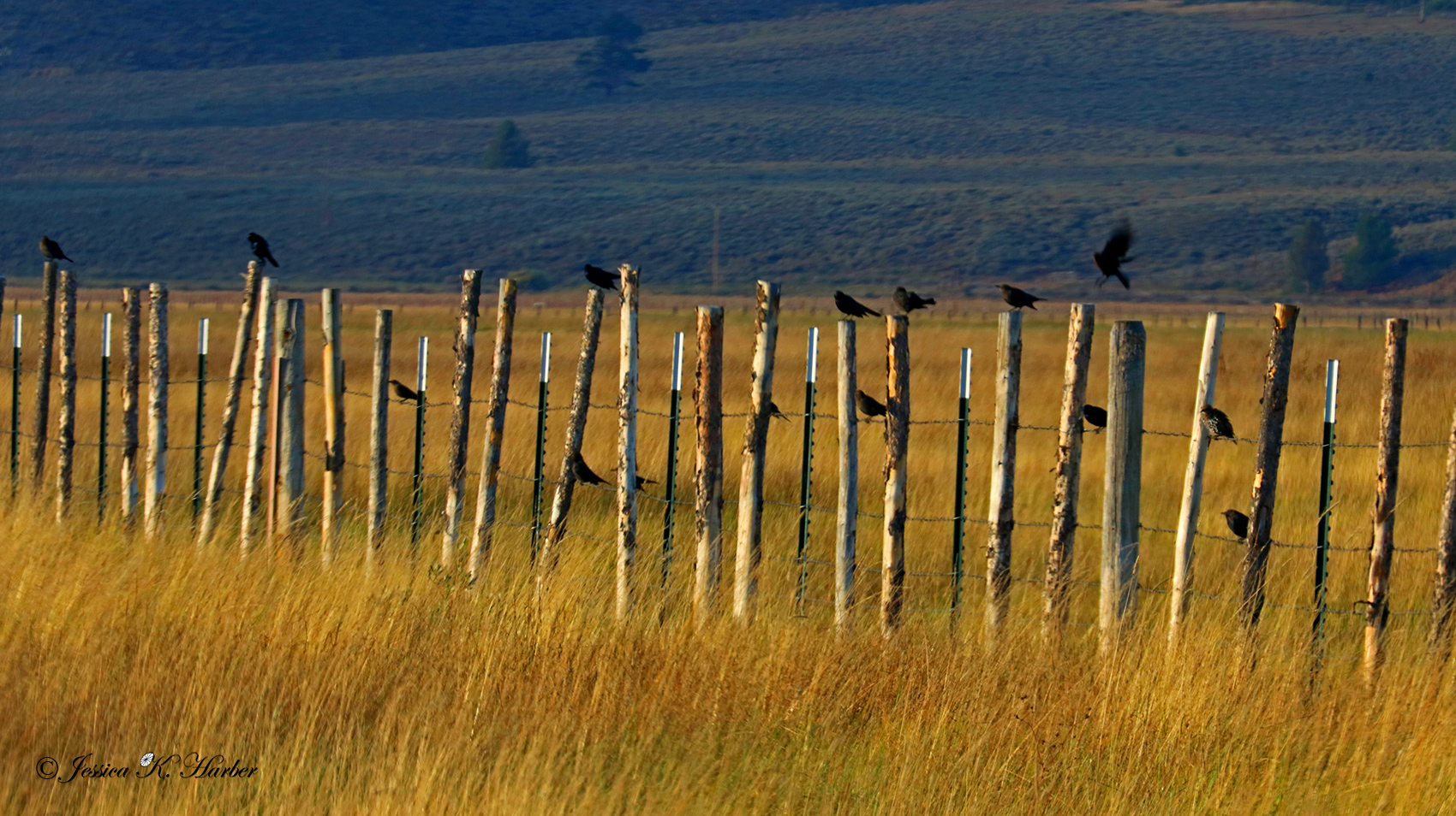
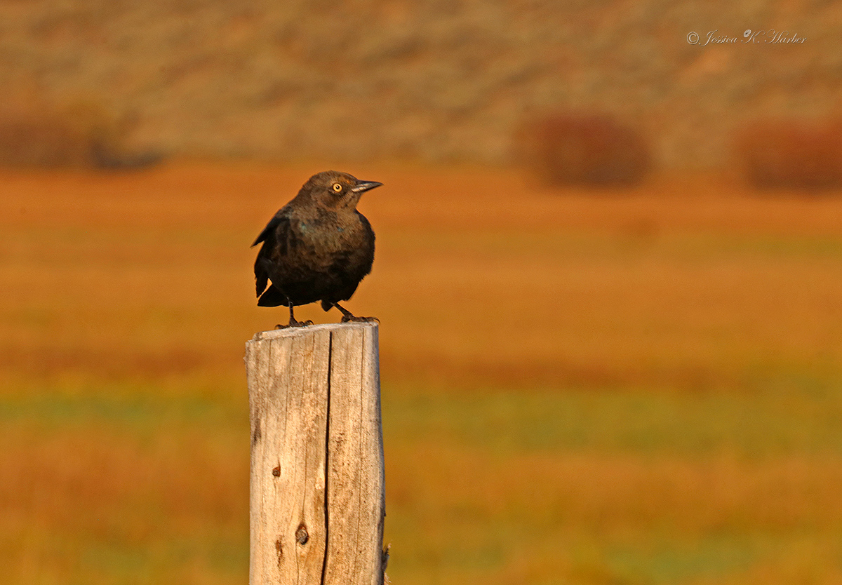
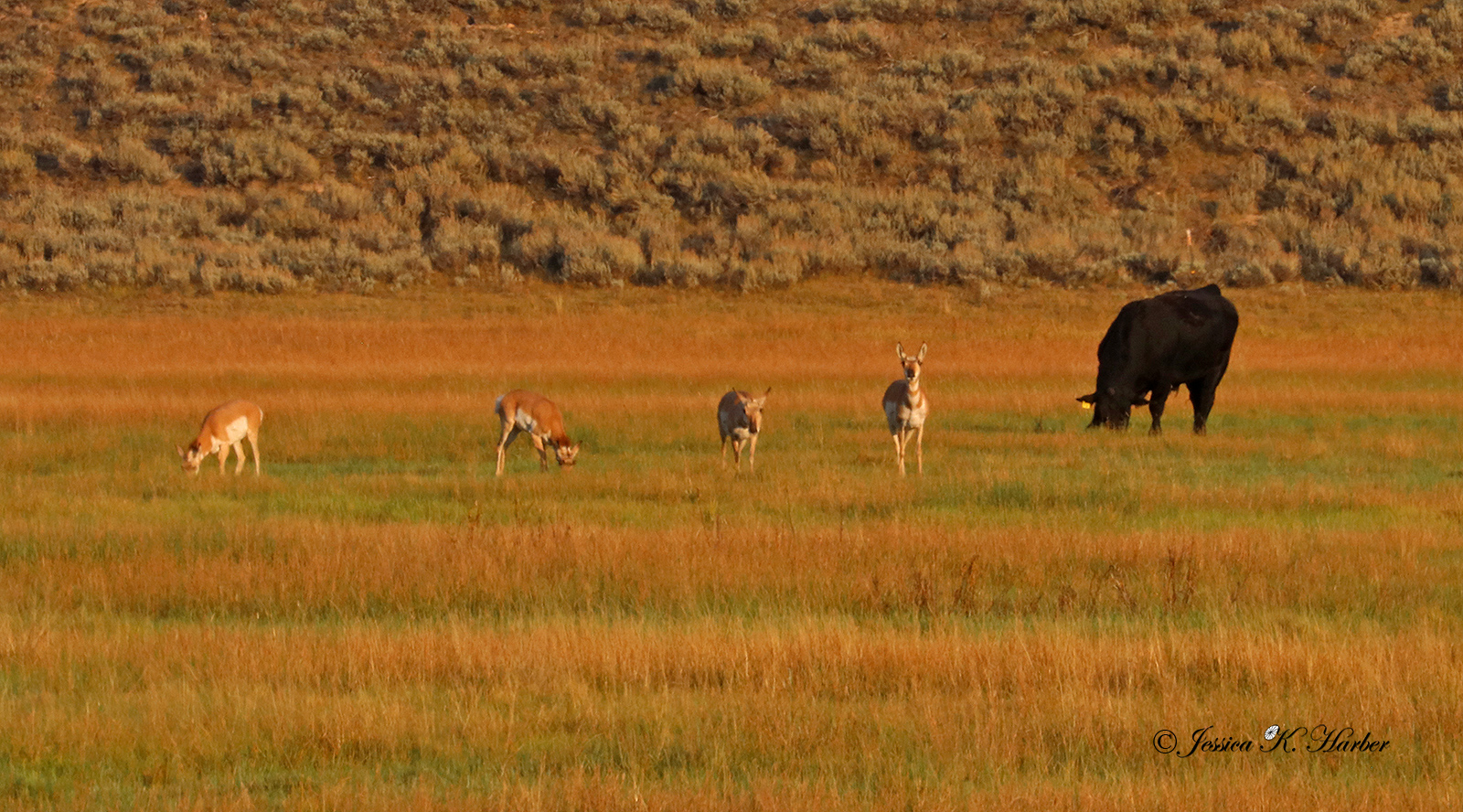
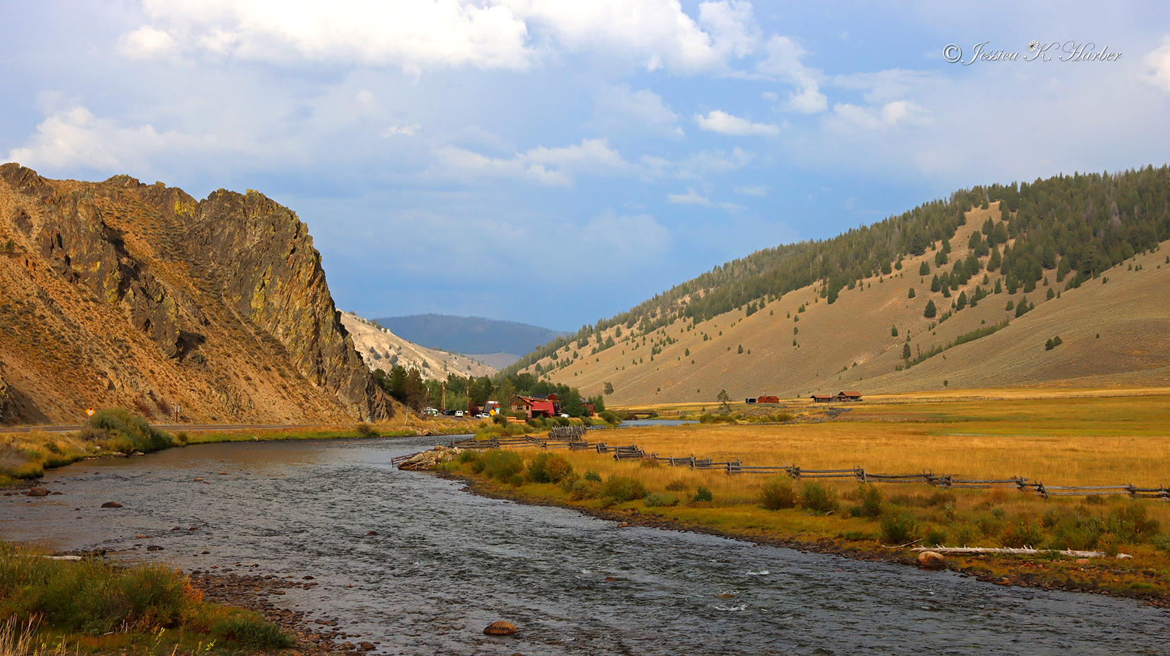
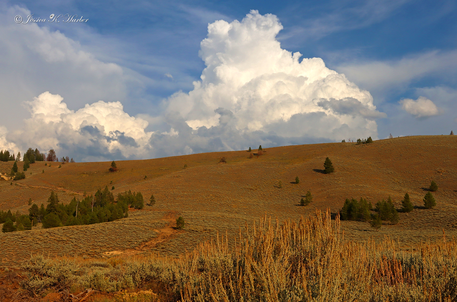
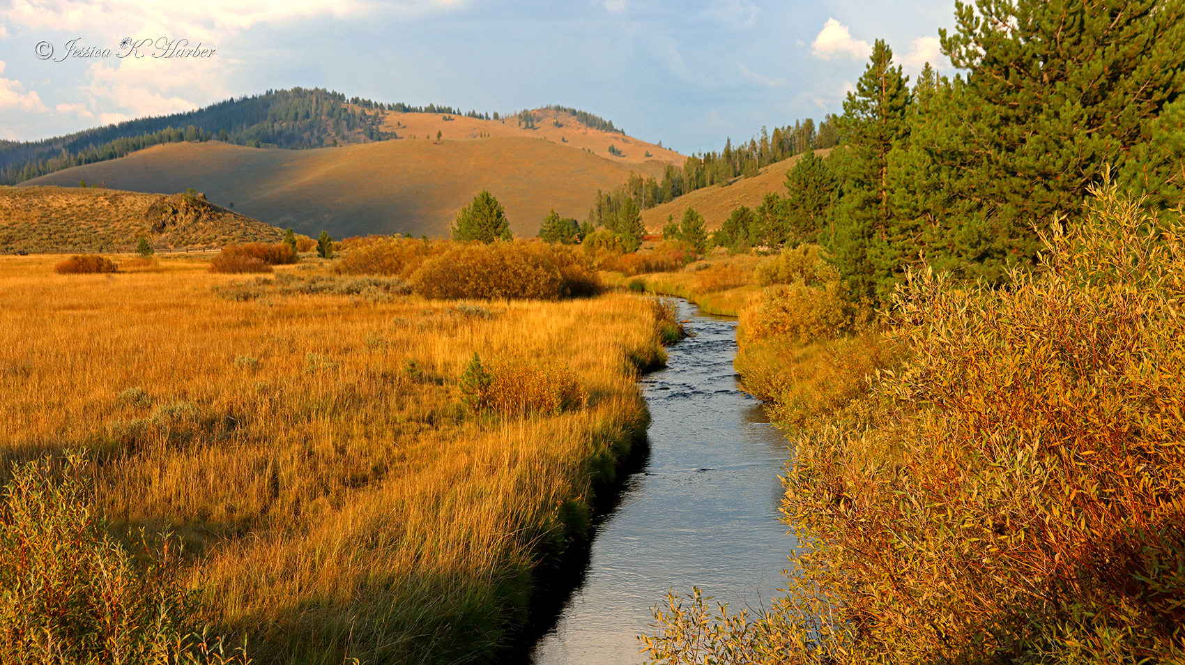
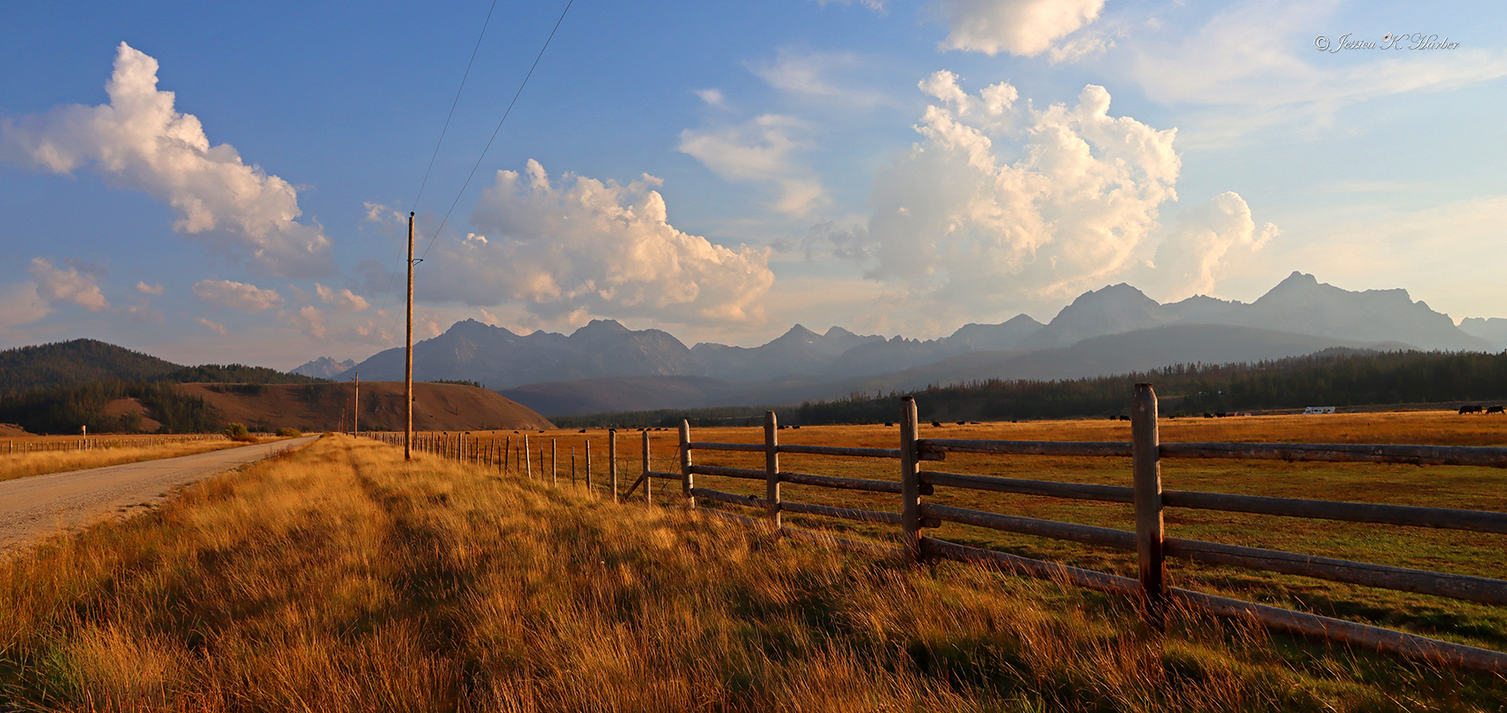
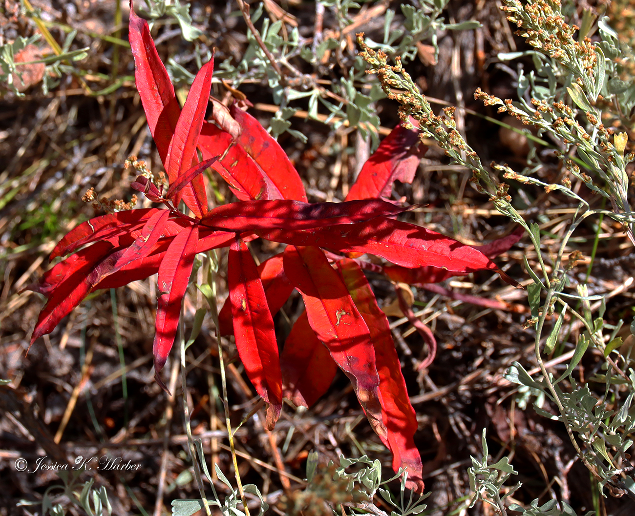
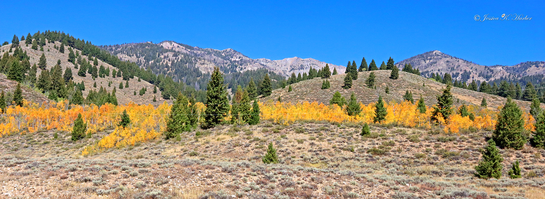
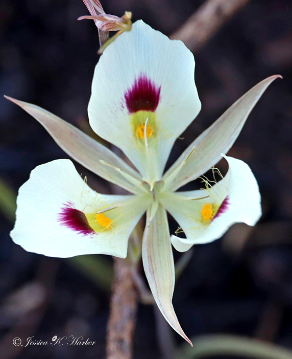
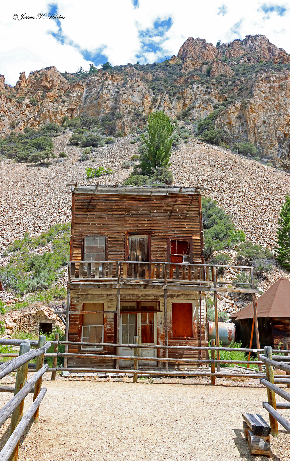
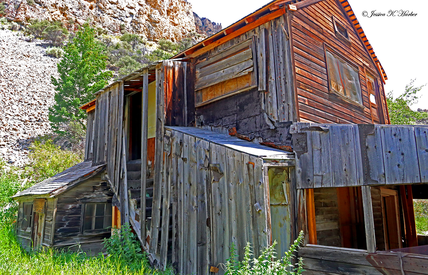
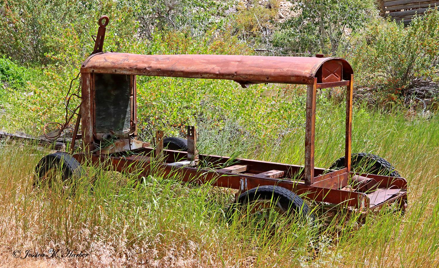
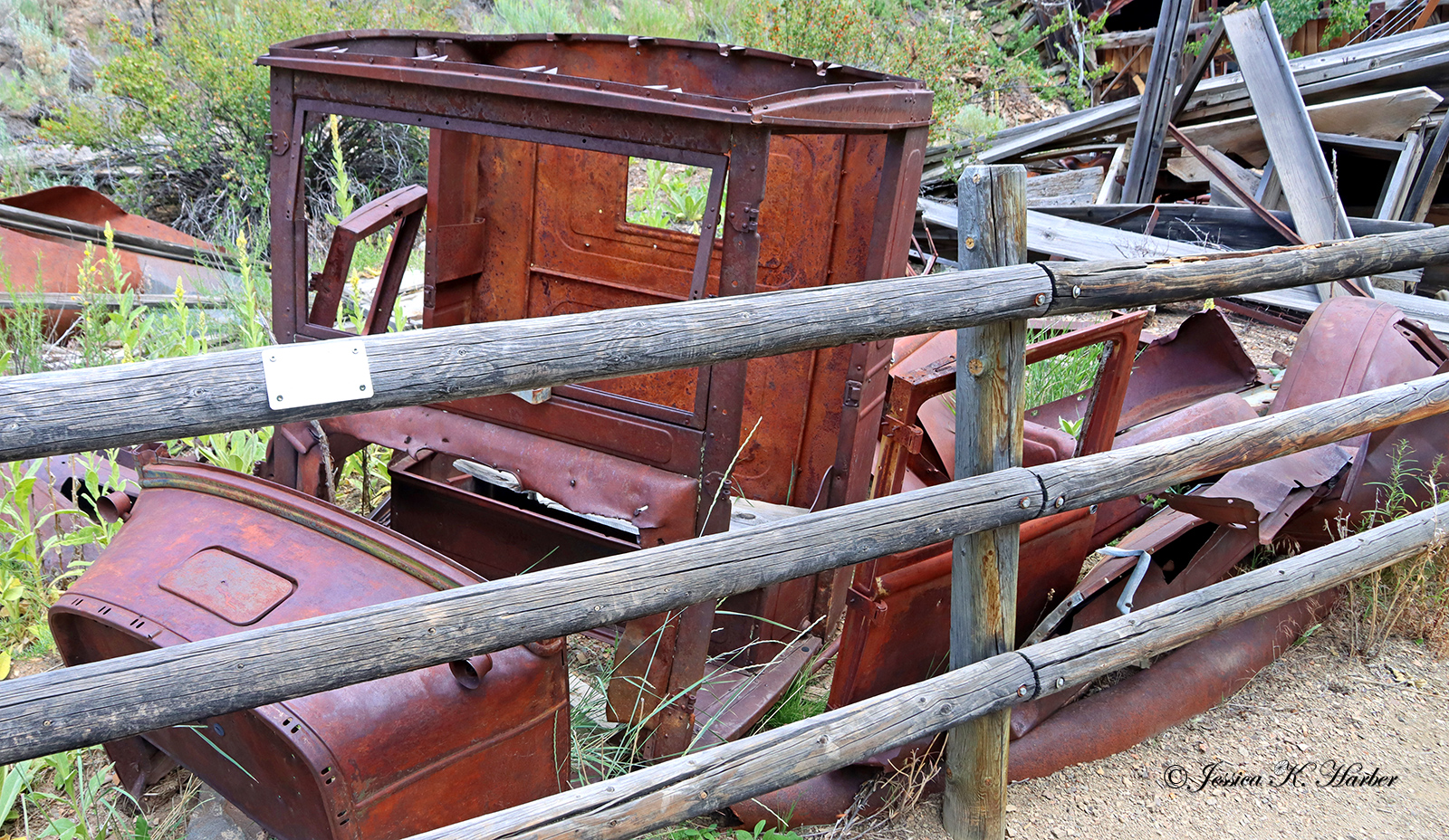
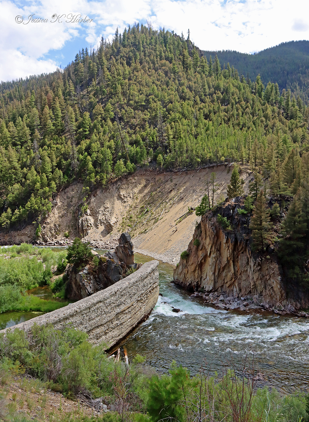
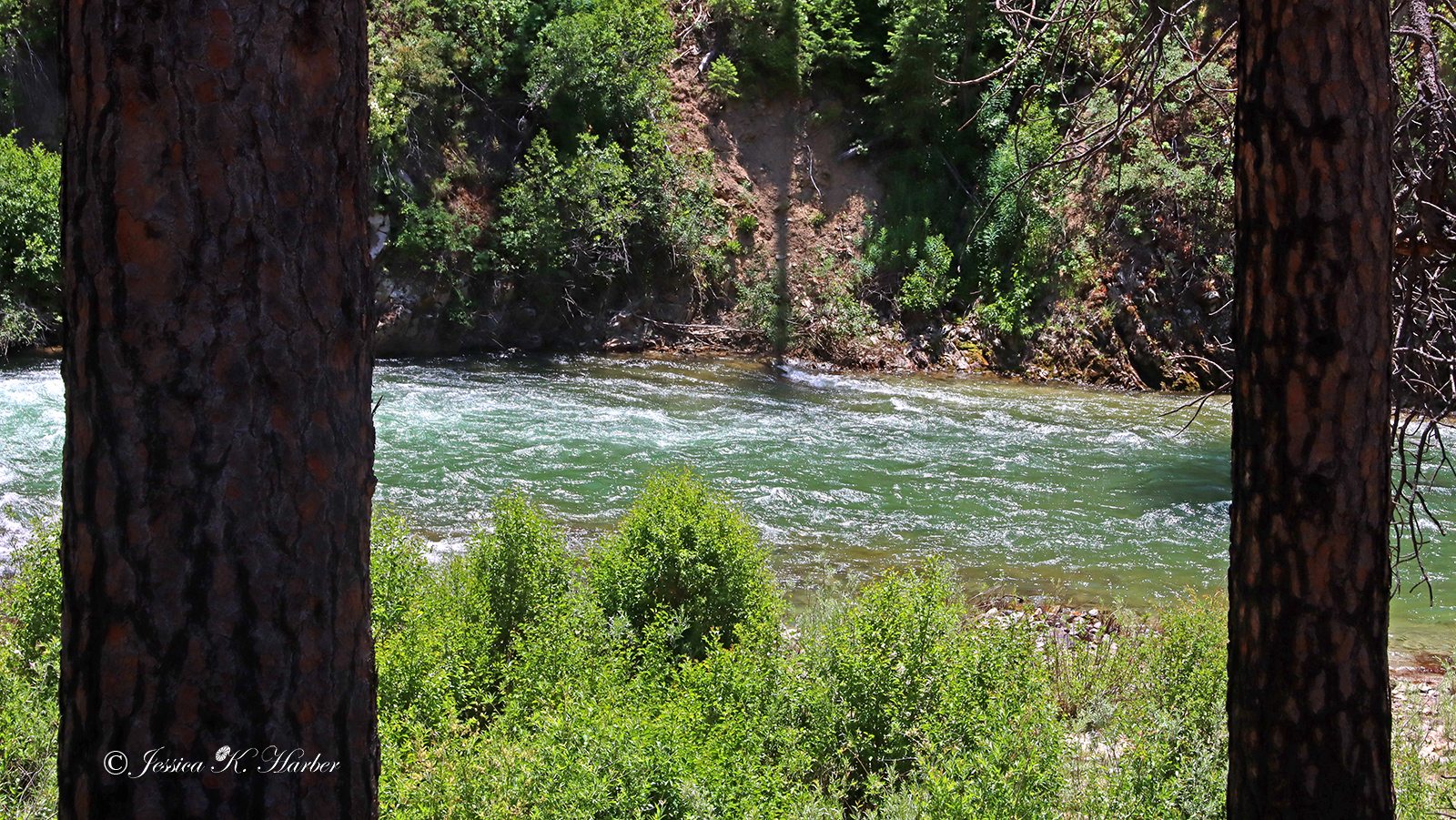
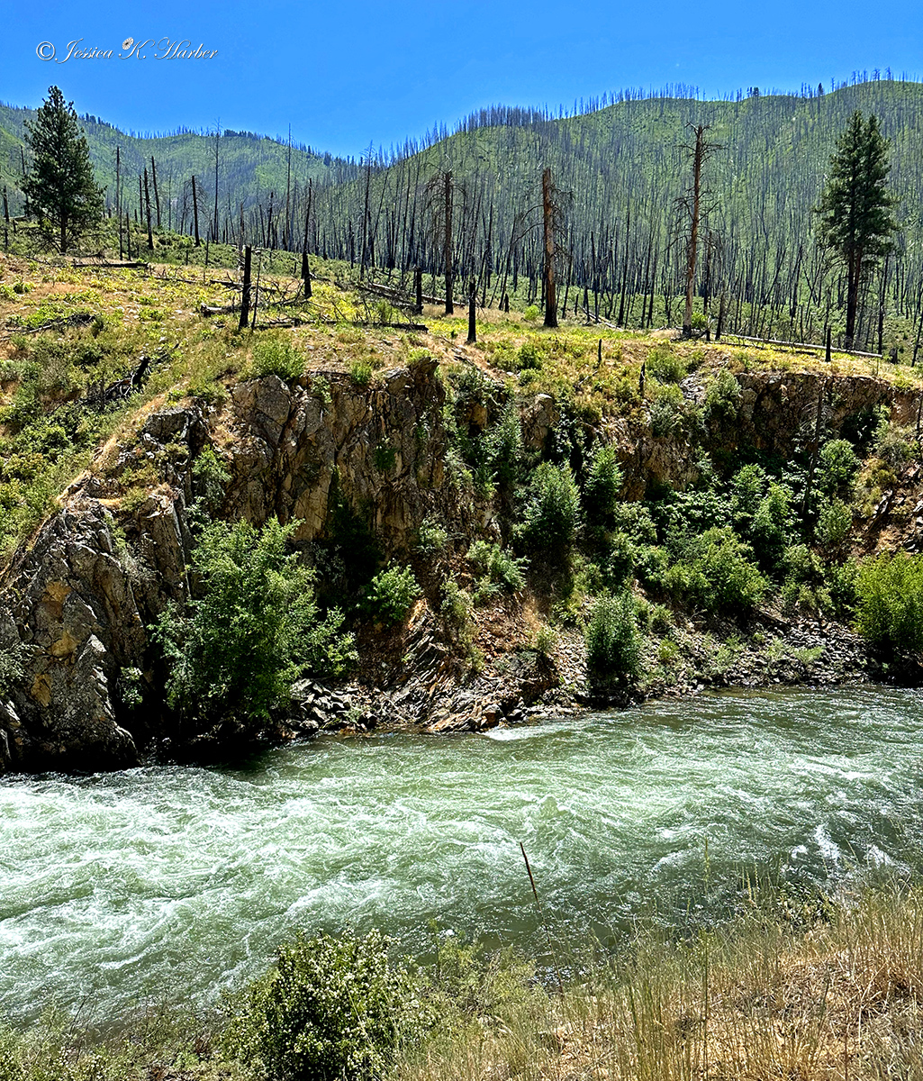
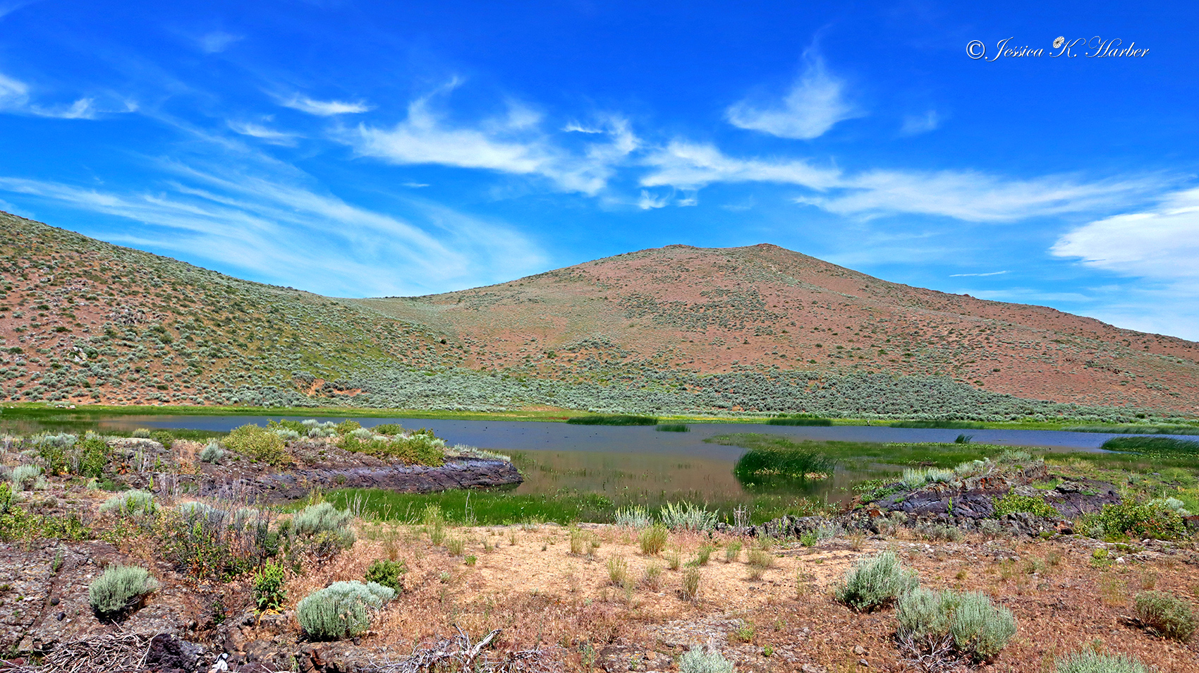
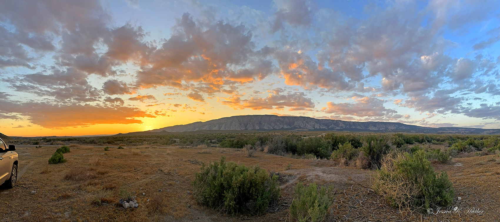
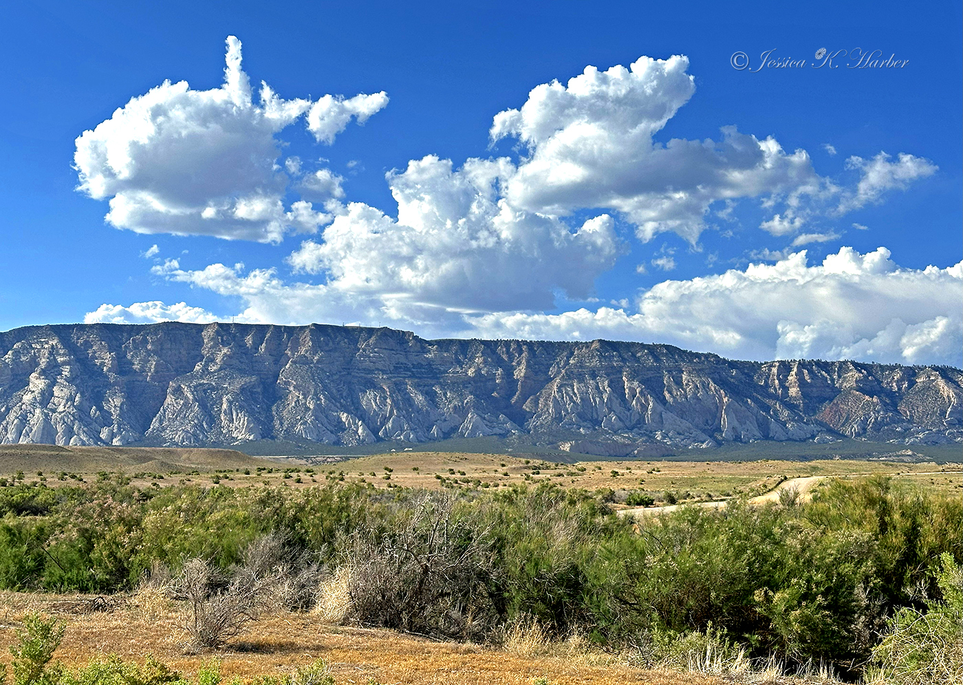
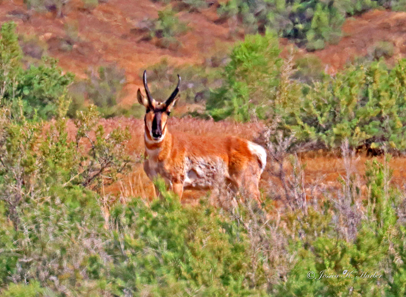
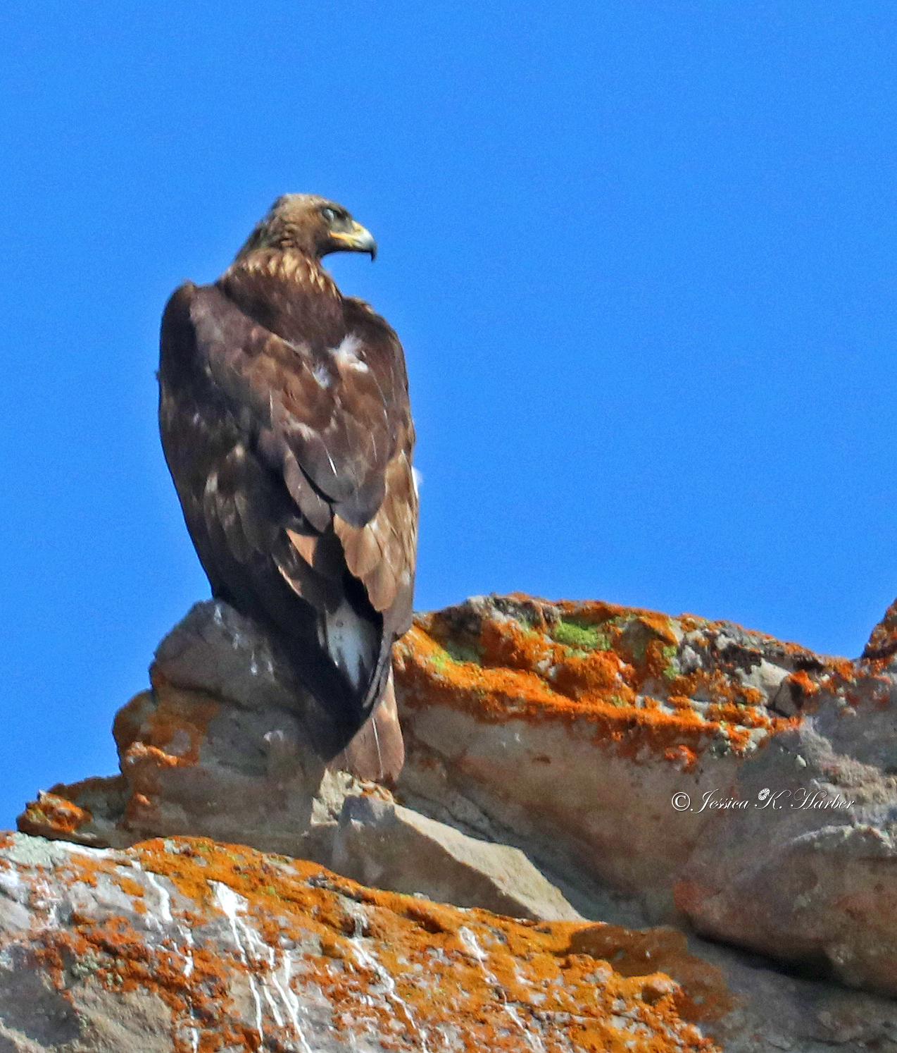
More from the area around Stanley, Idaho.
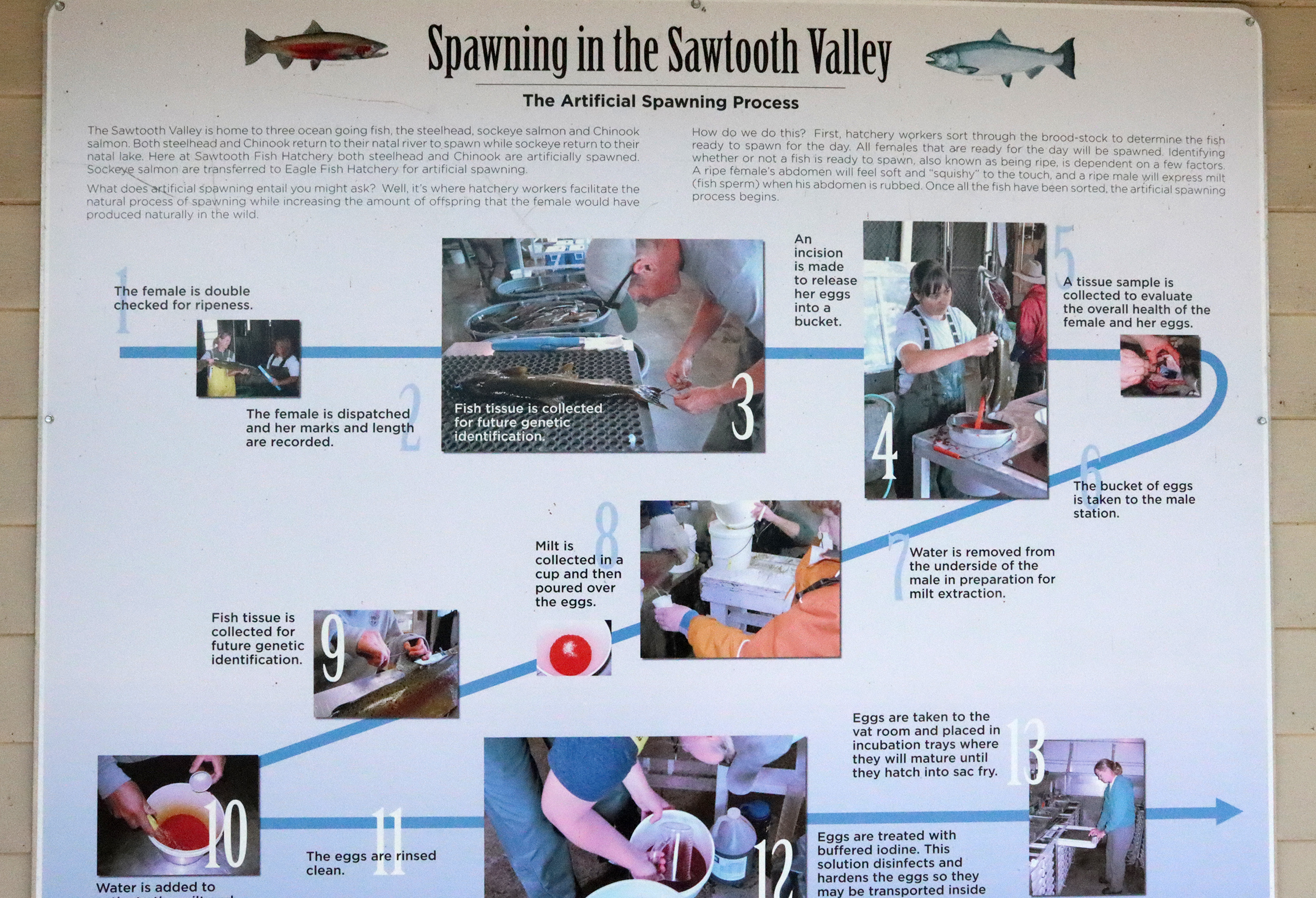
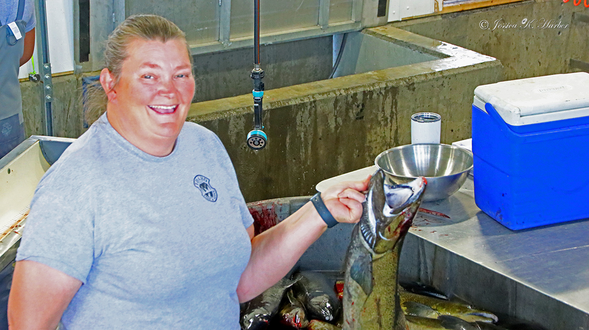
See captions for additional info.
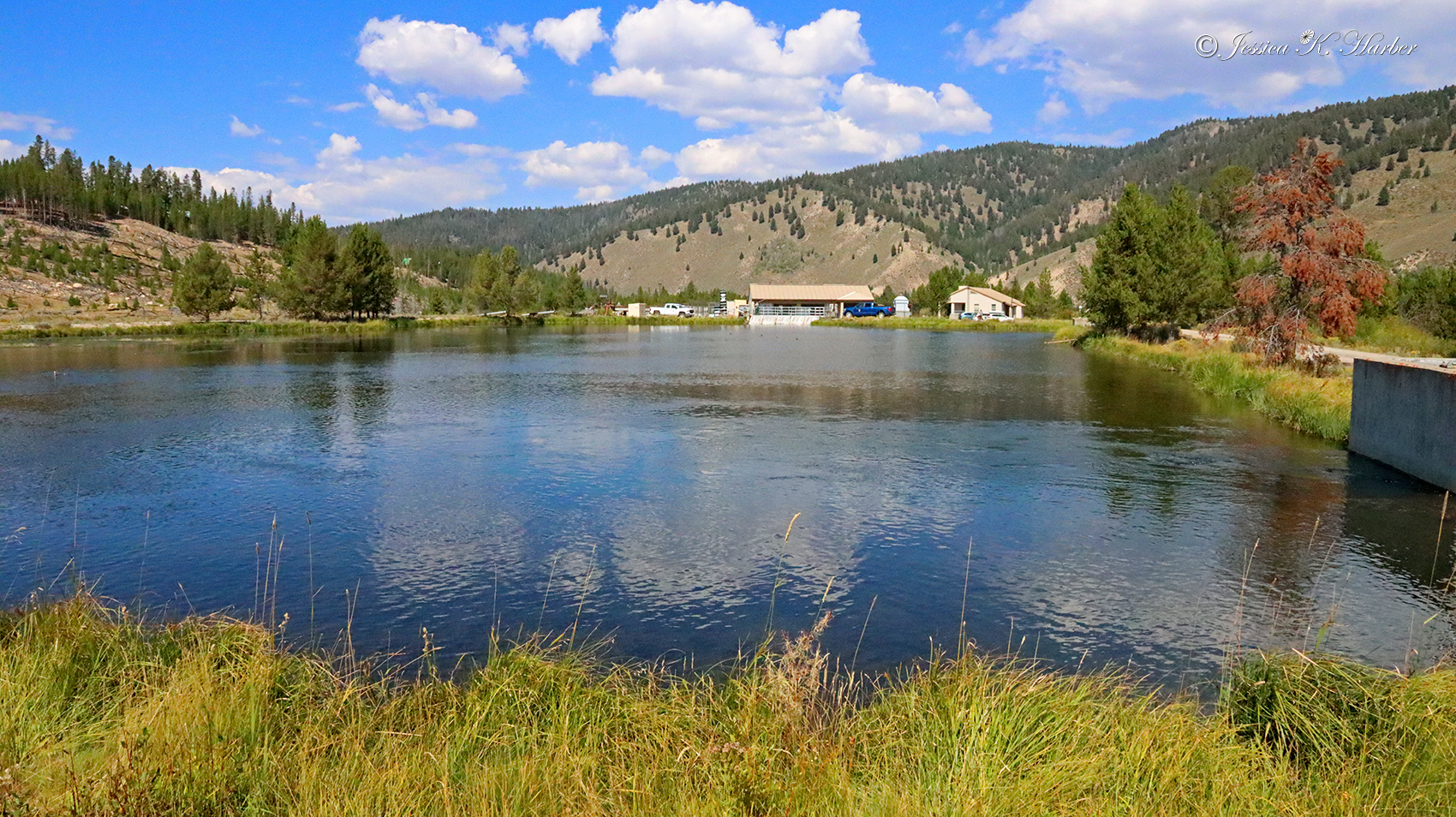
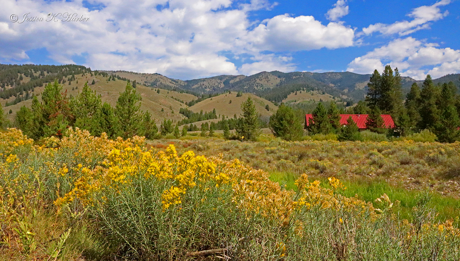
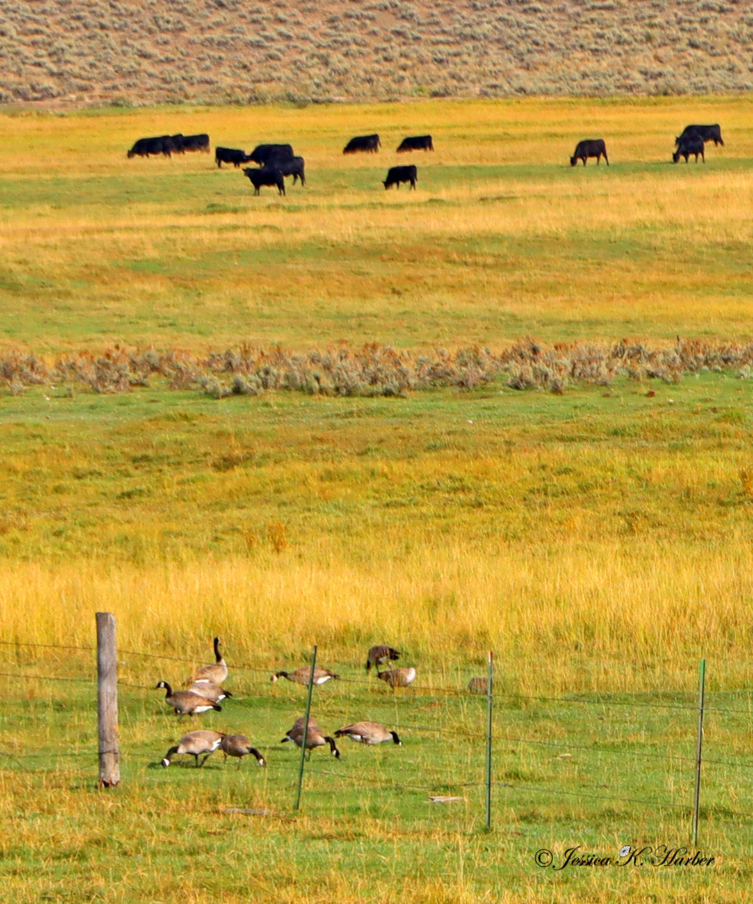
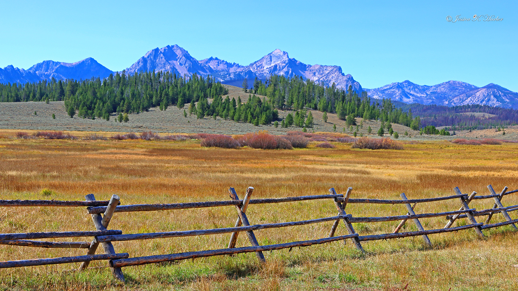
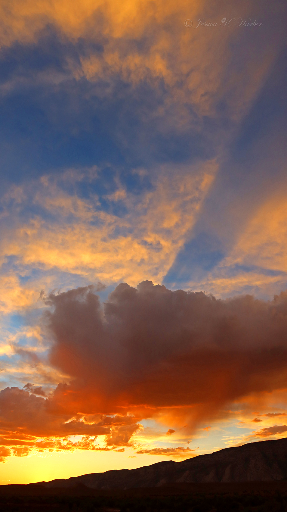
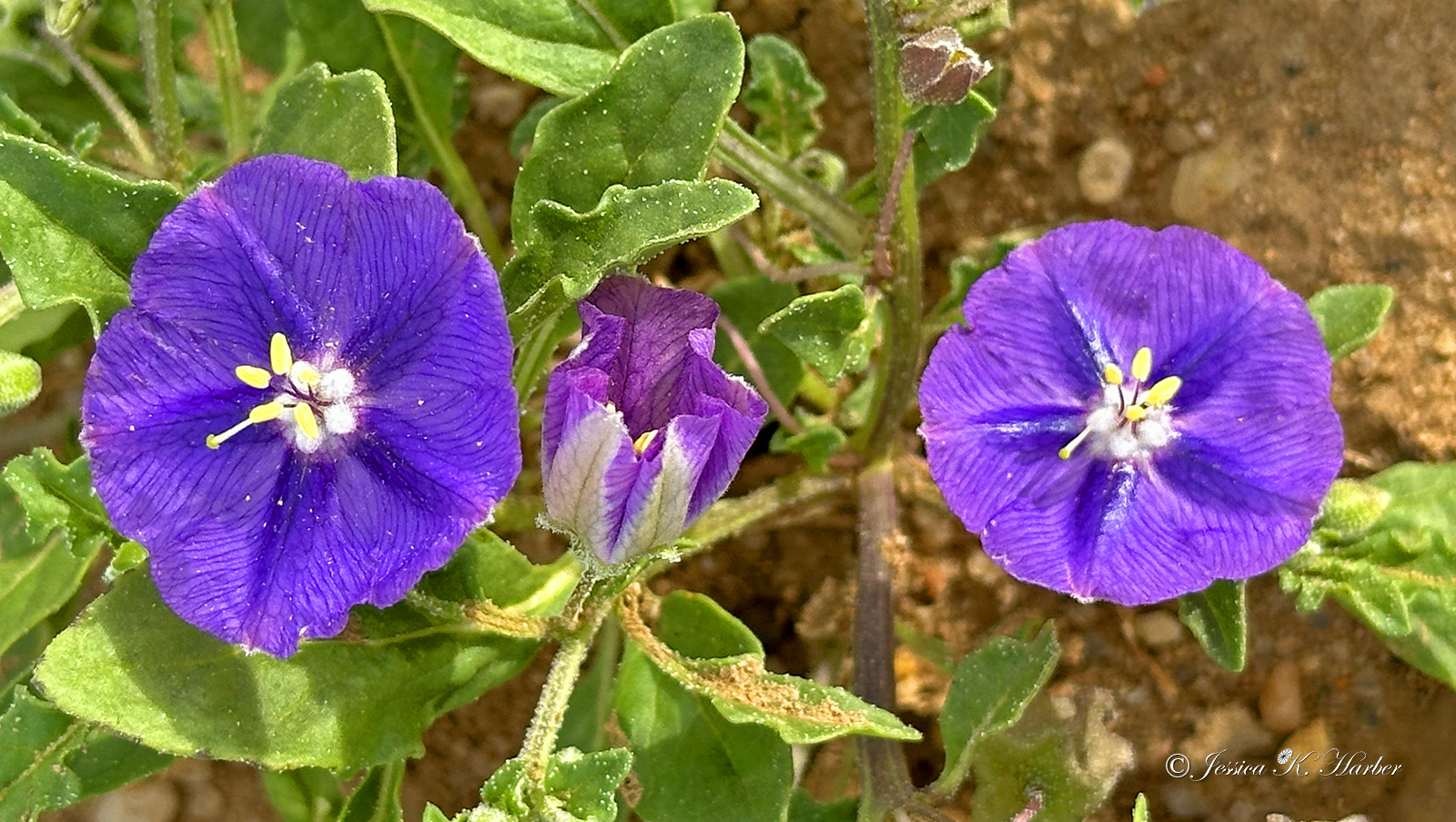
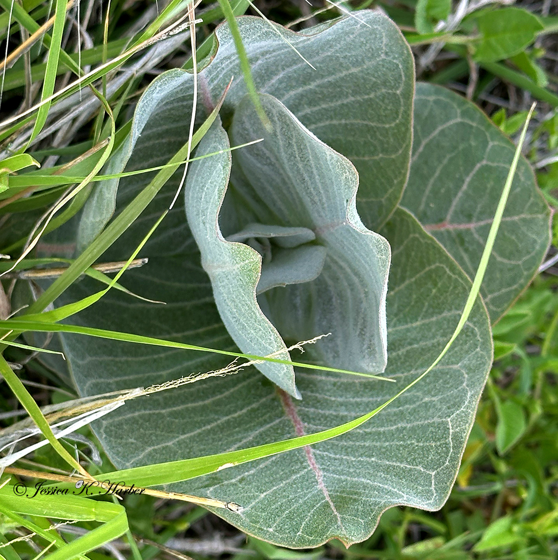
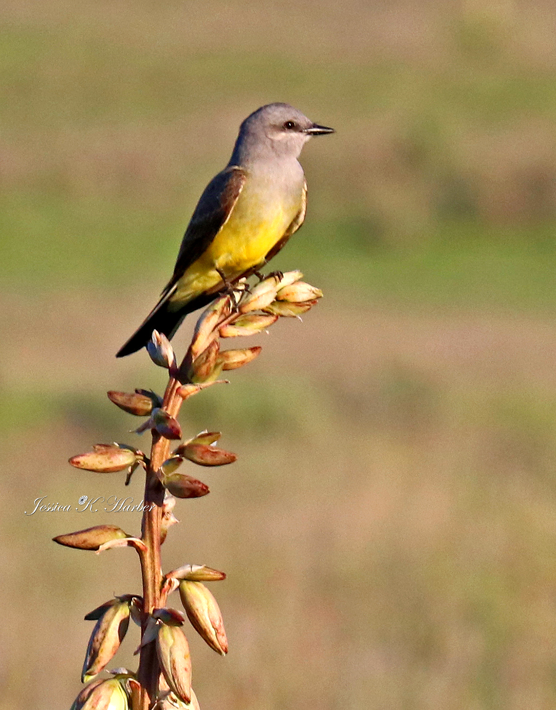
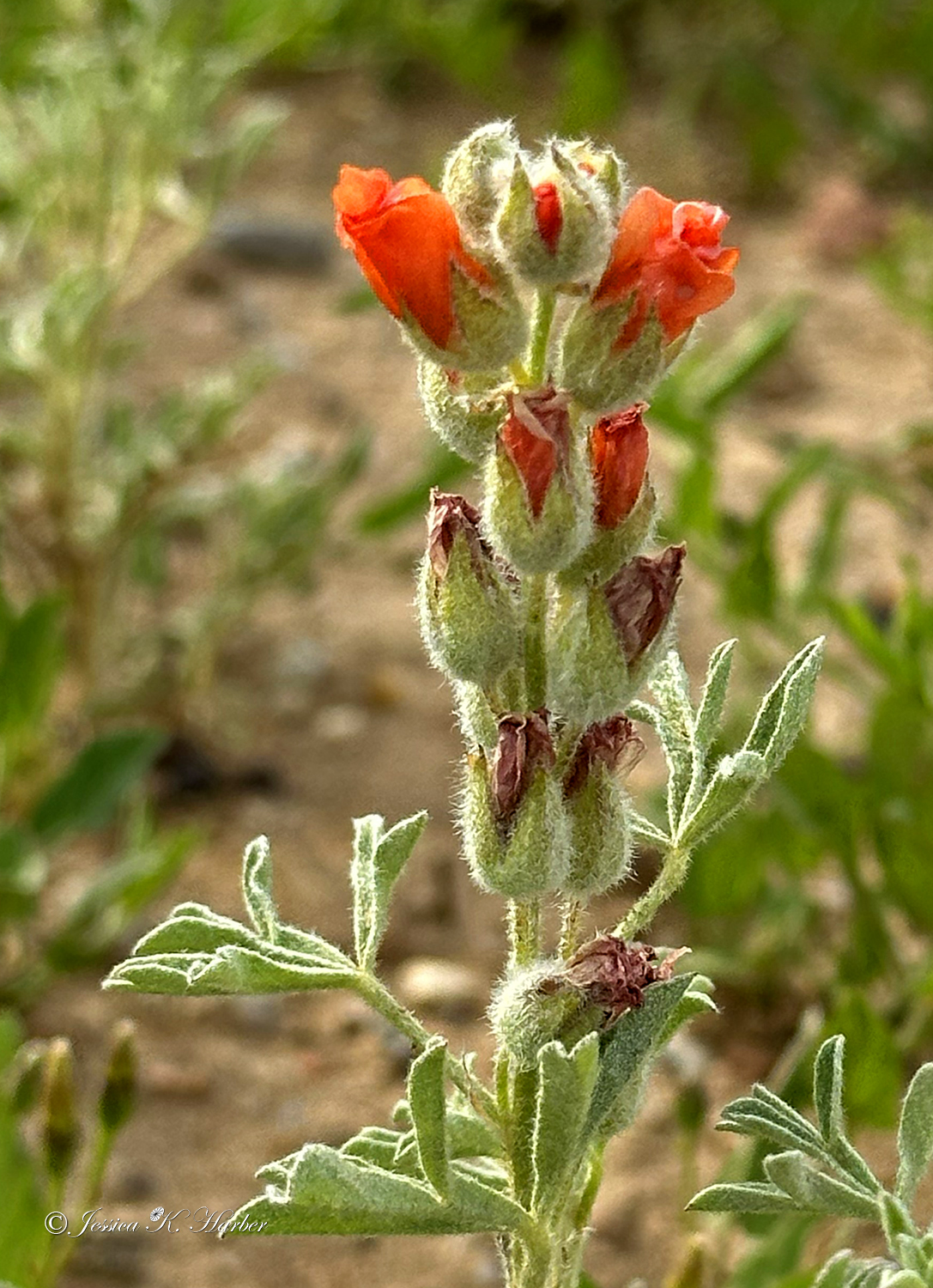
IDAHO. SEPTEMBER.


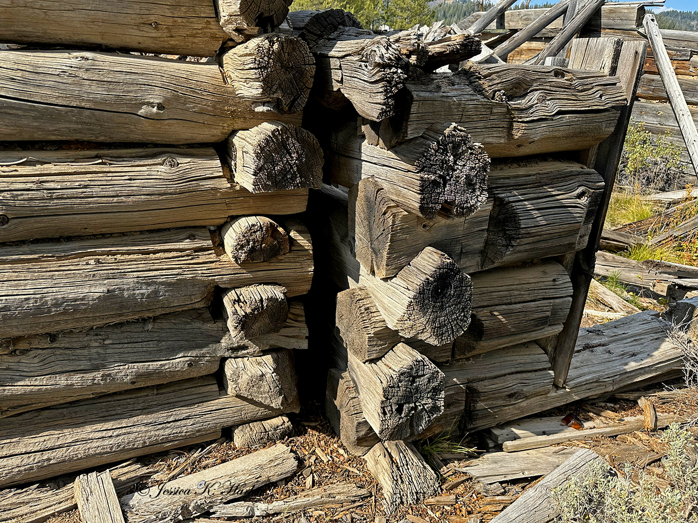

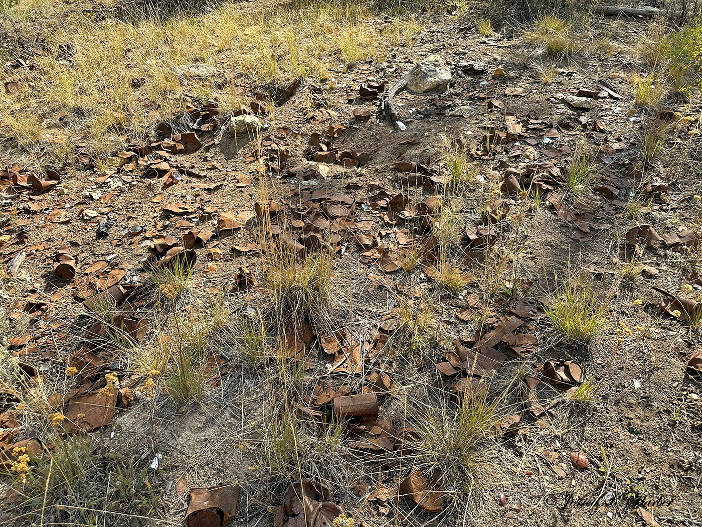


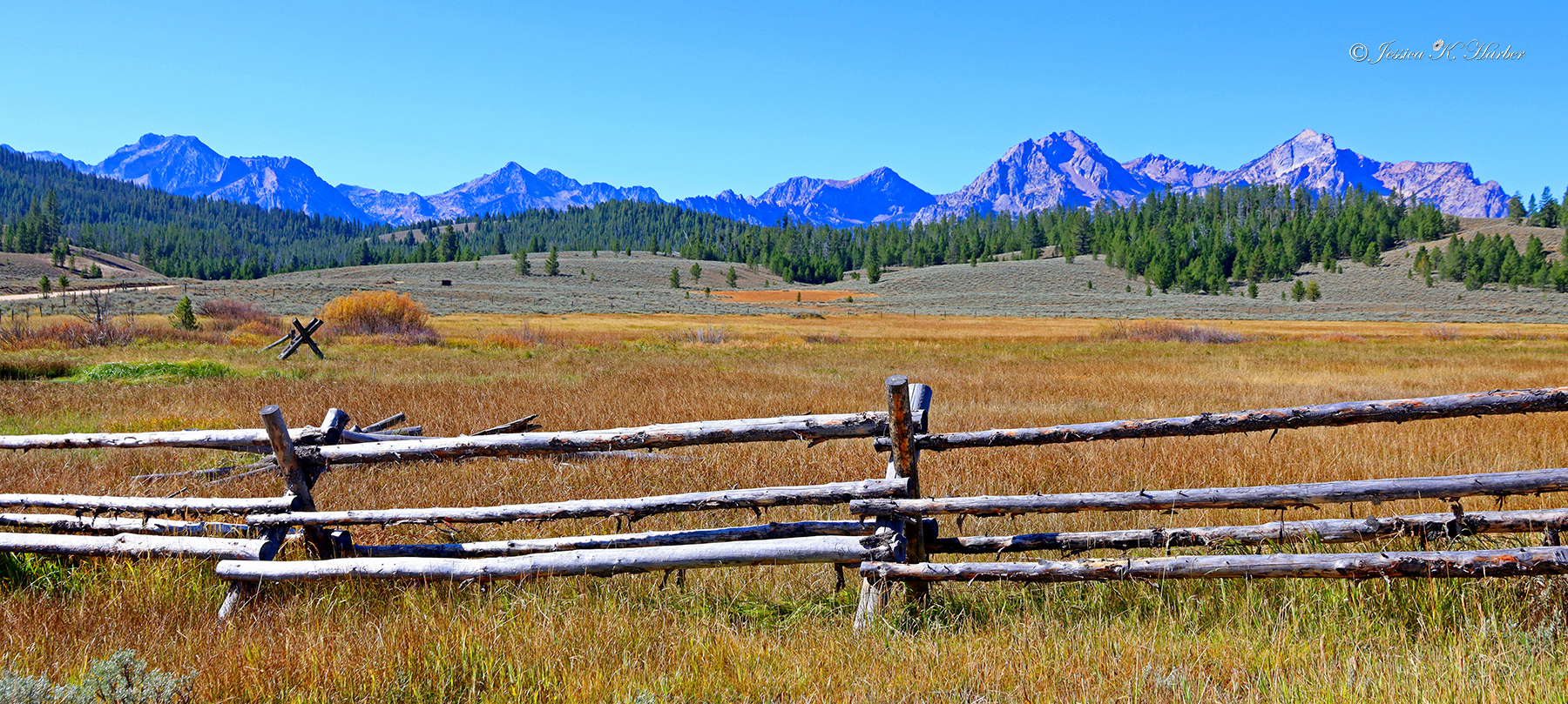
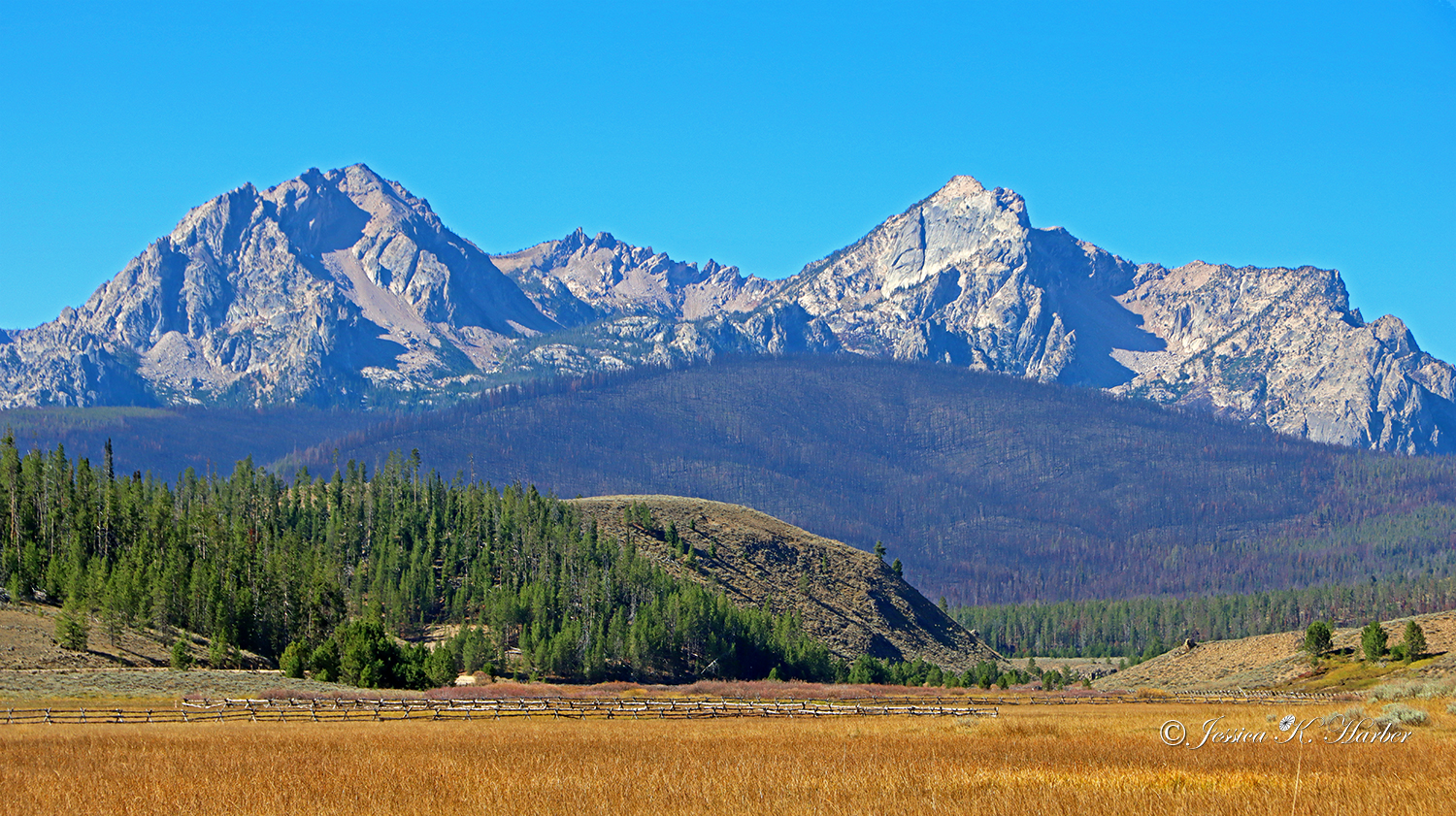
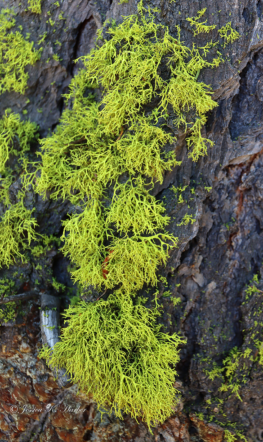
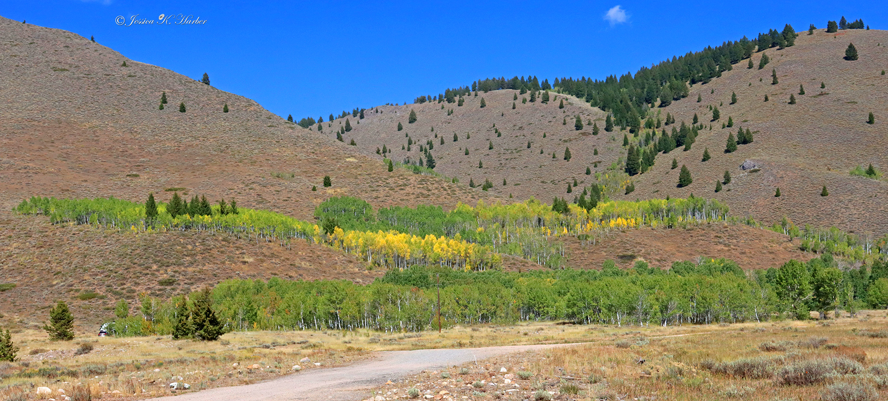


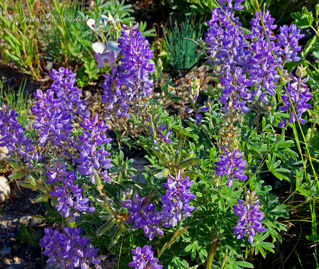
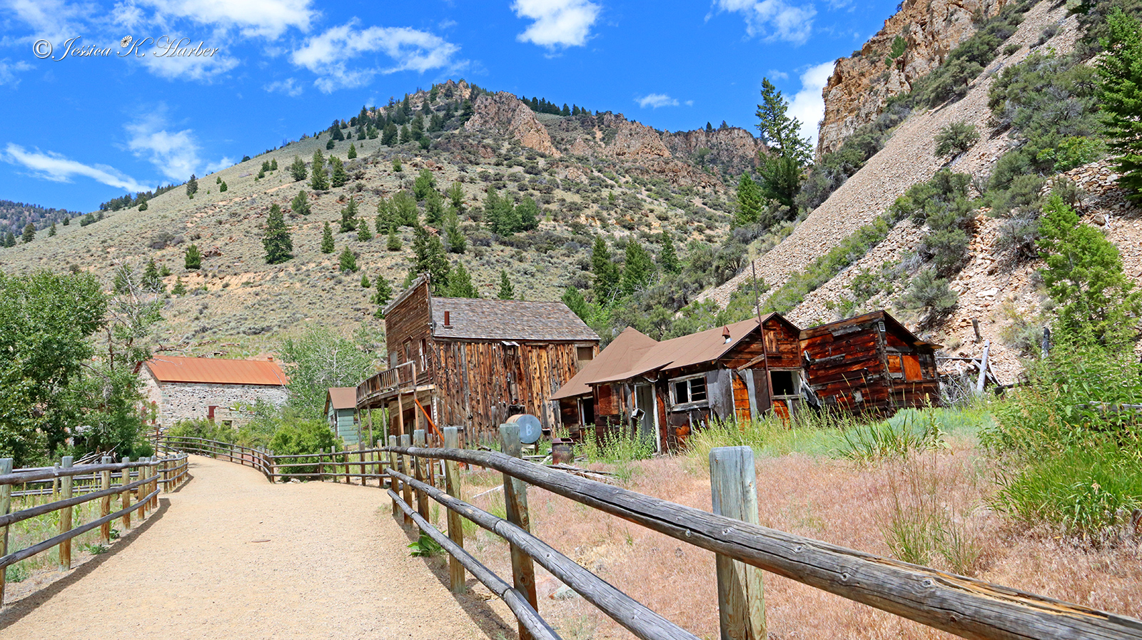
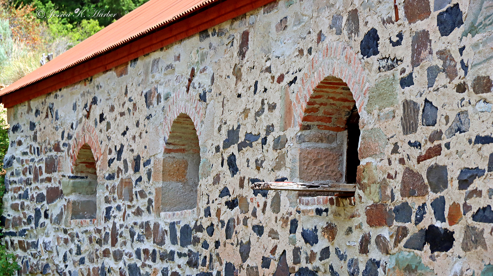
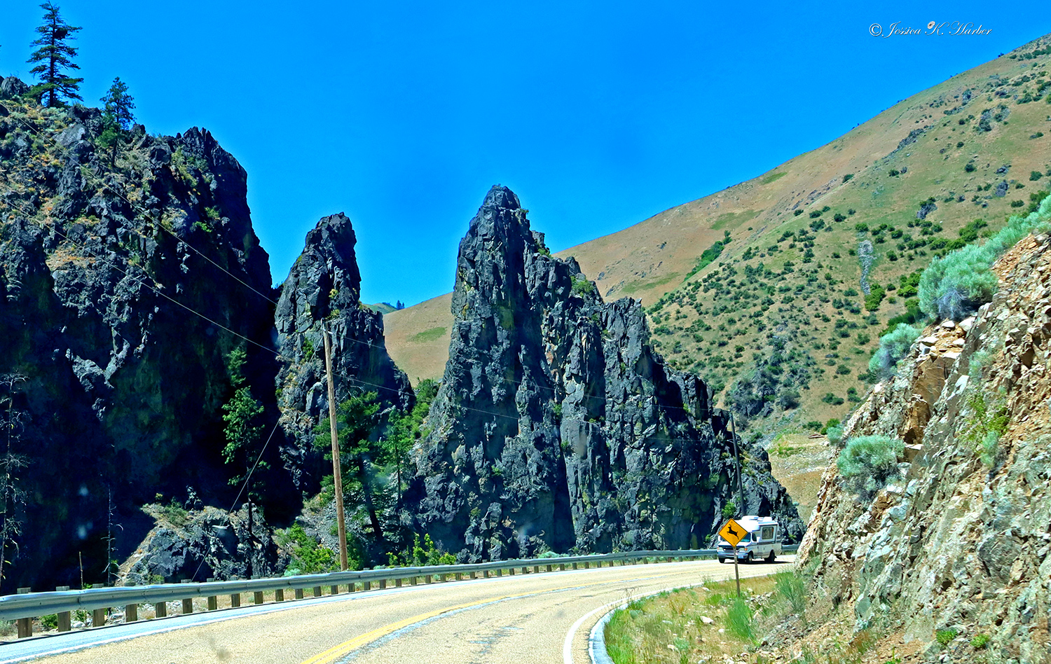
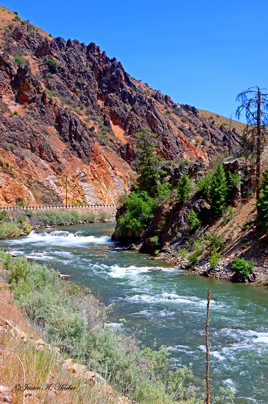
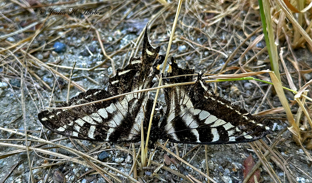
More from the area around Stanley, Idaho.
See captions for additional info.
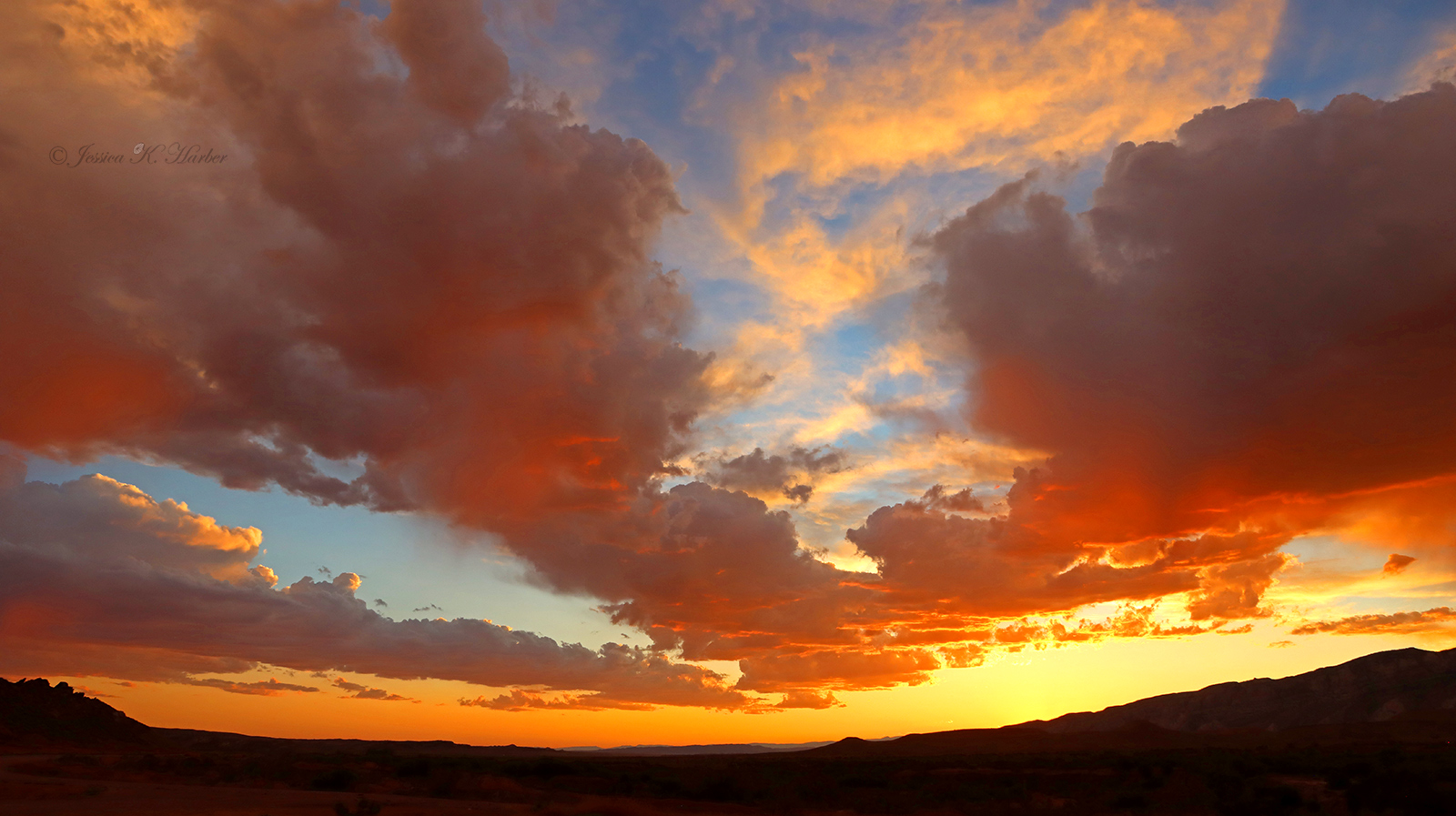
IDAHO. SEPTEMBER.
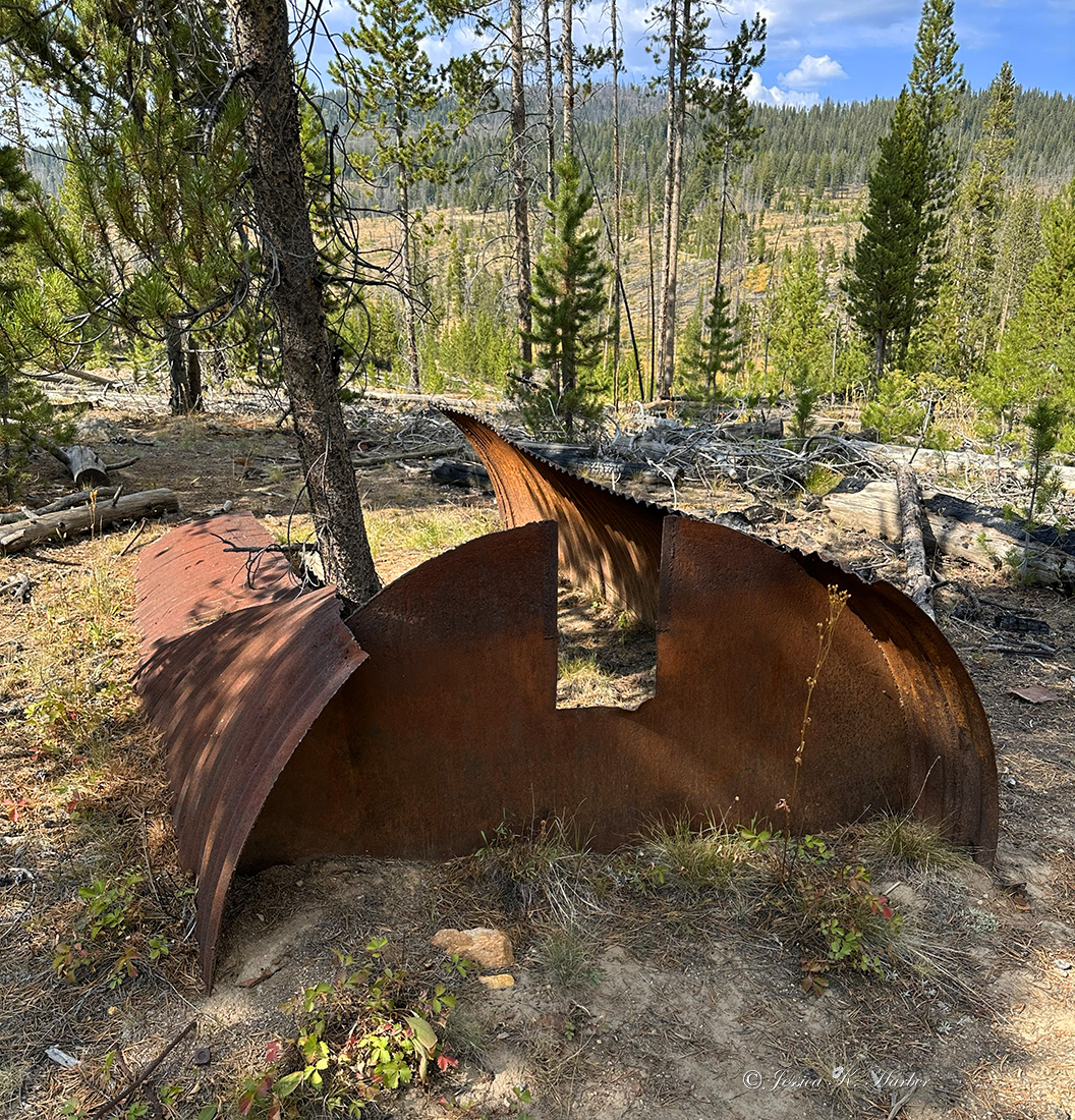
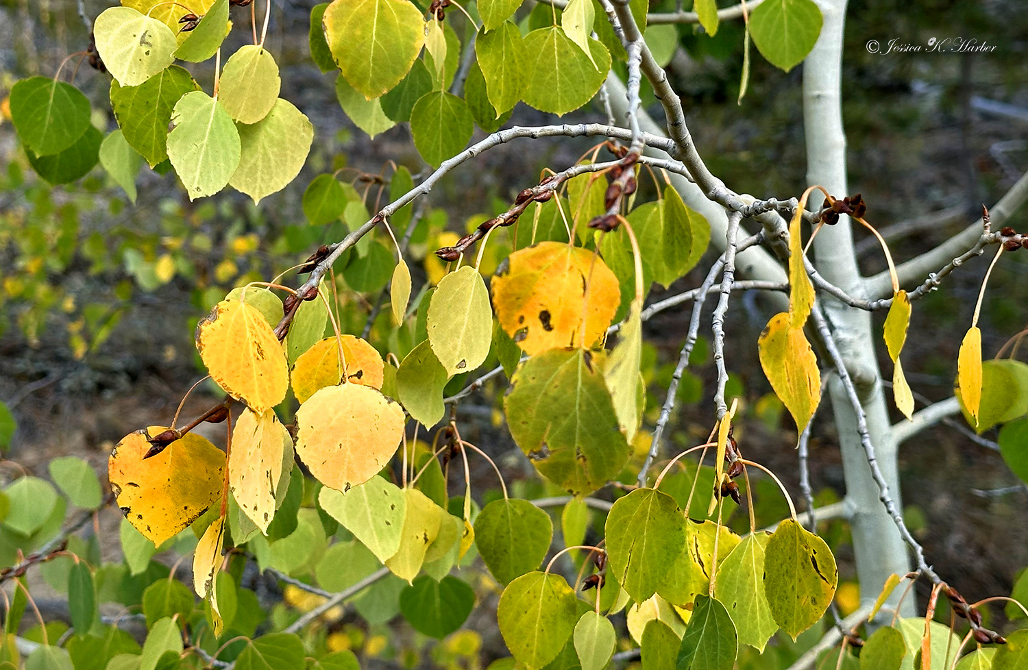
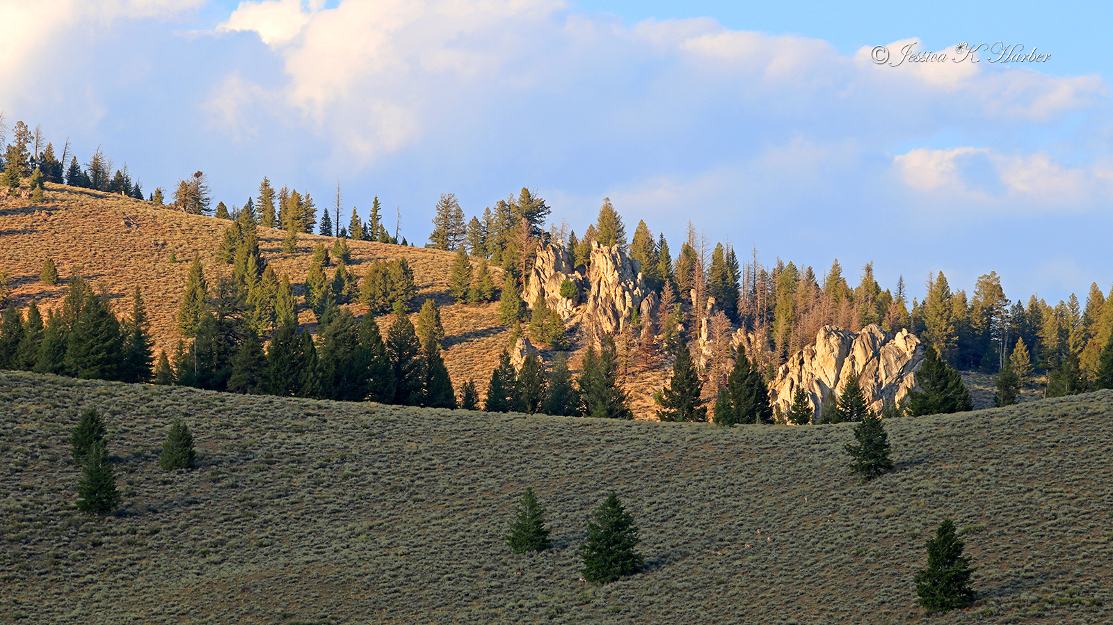
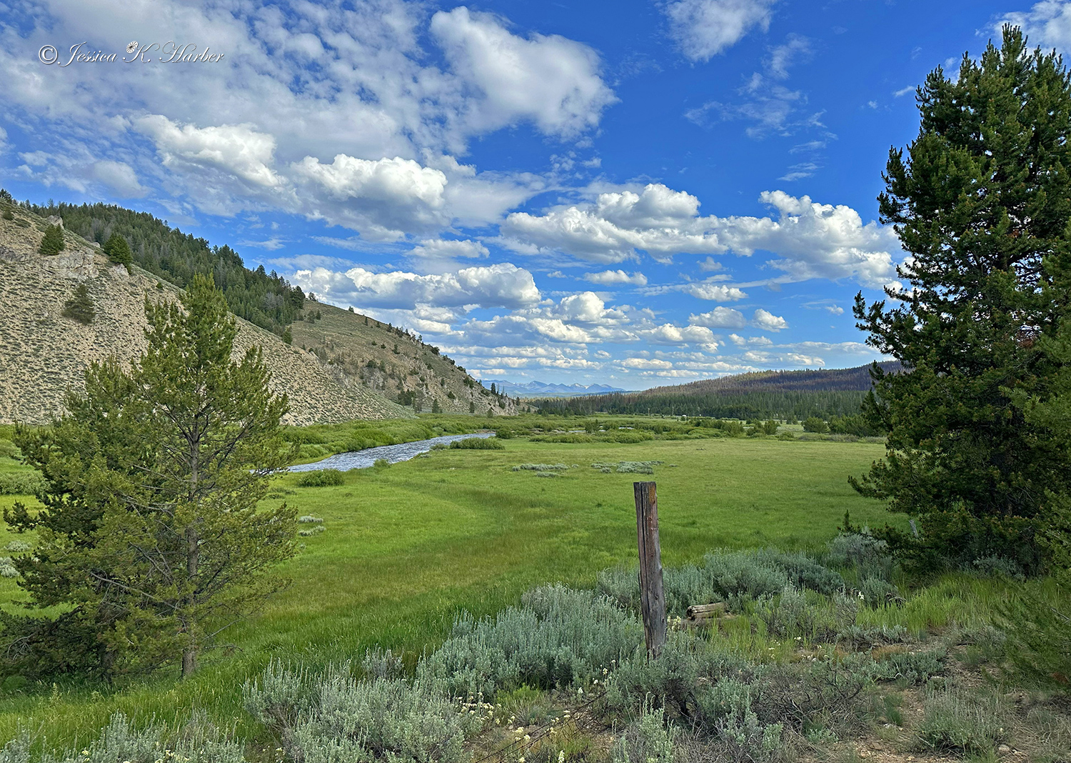
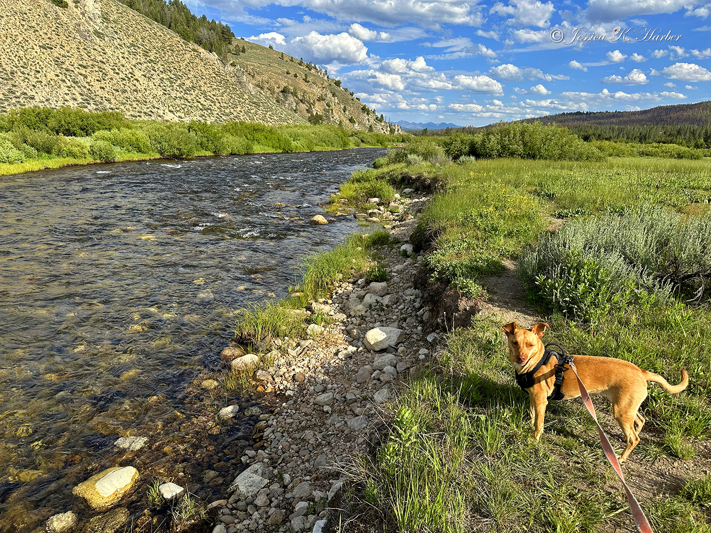
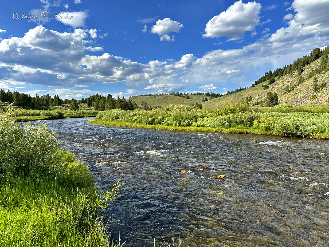
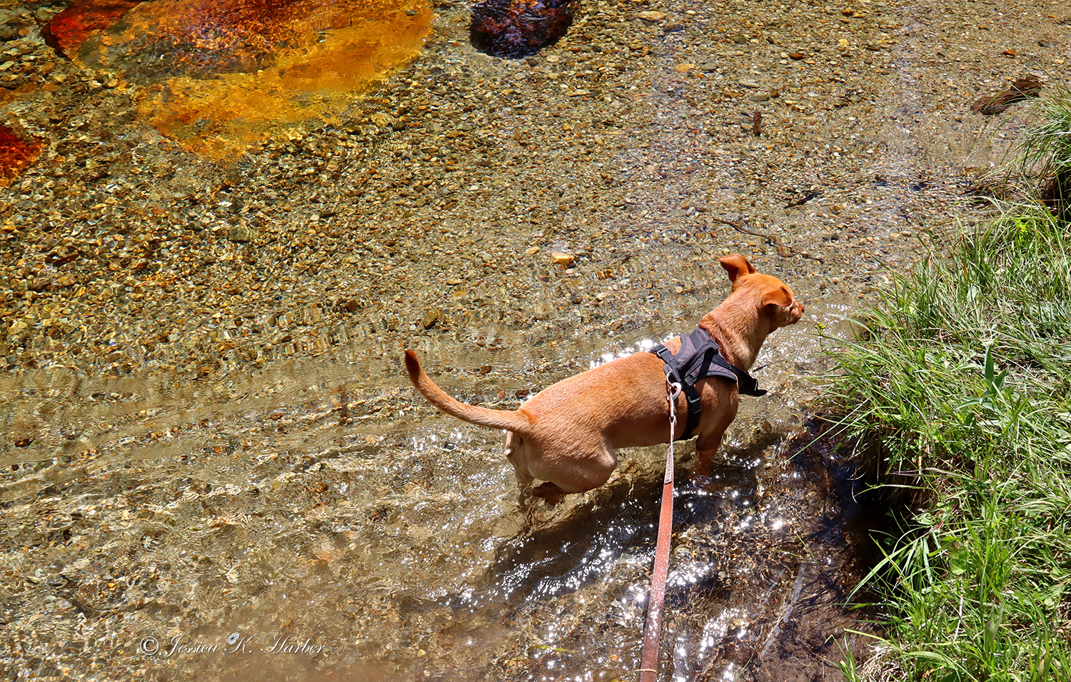
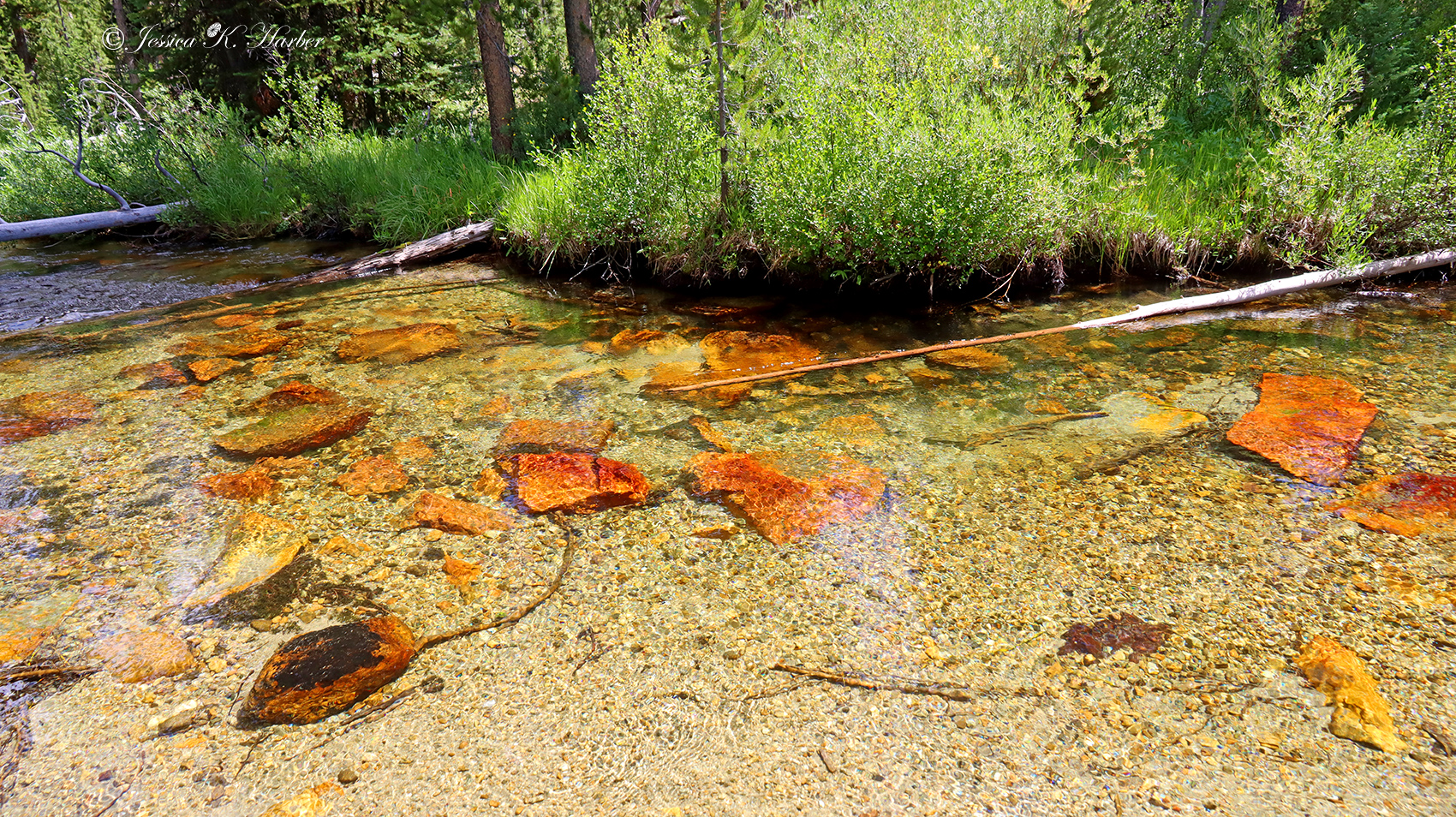
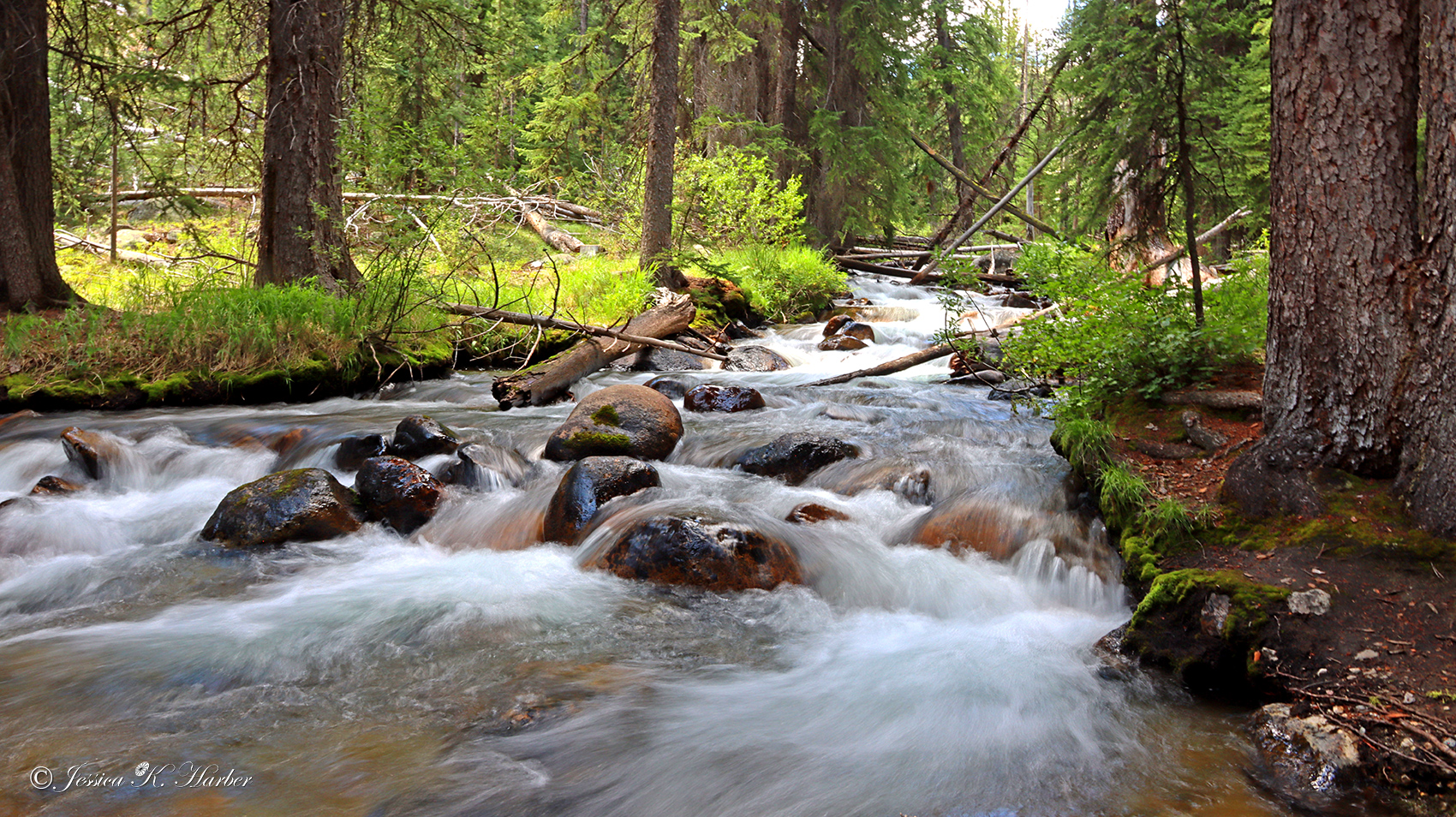
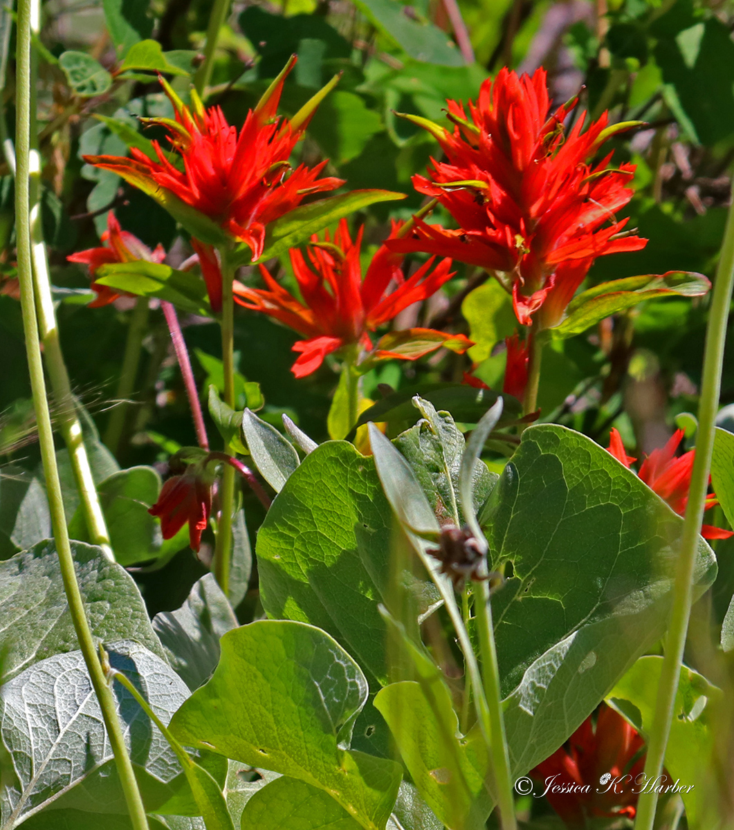
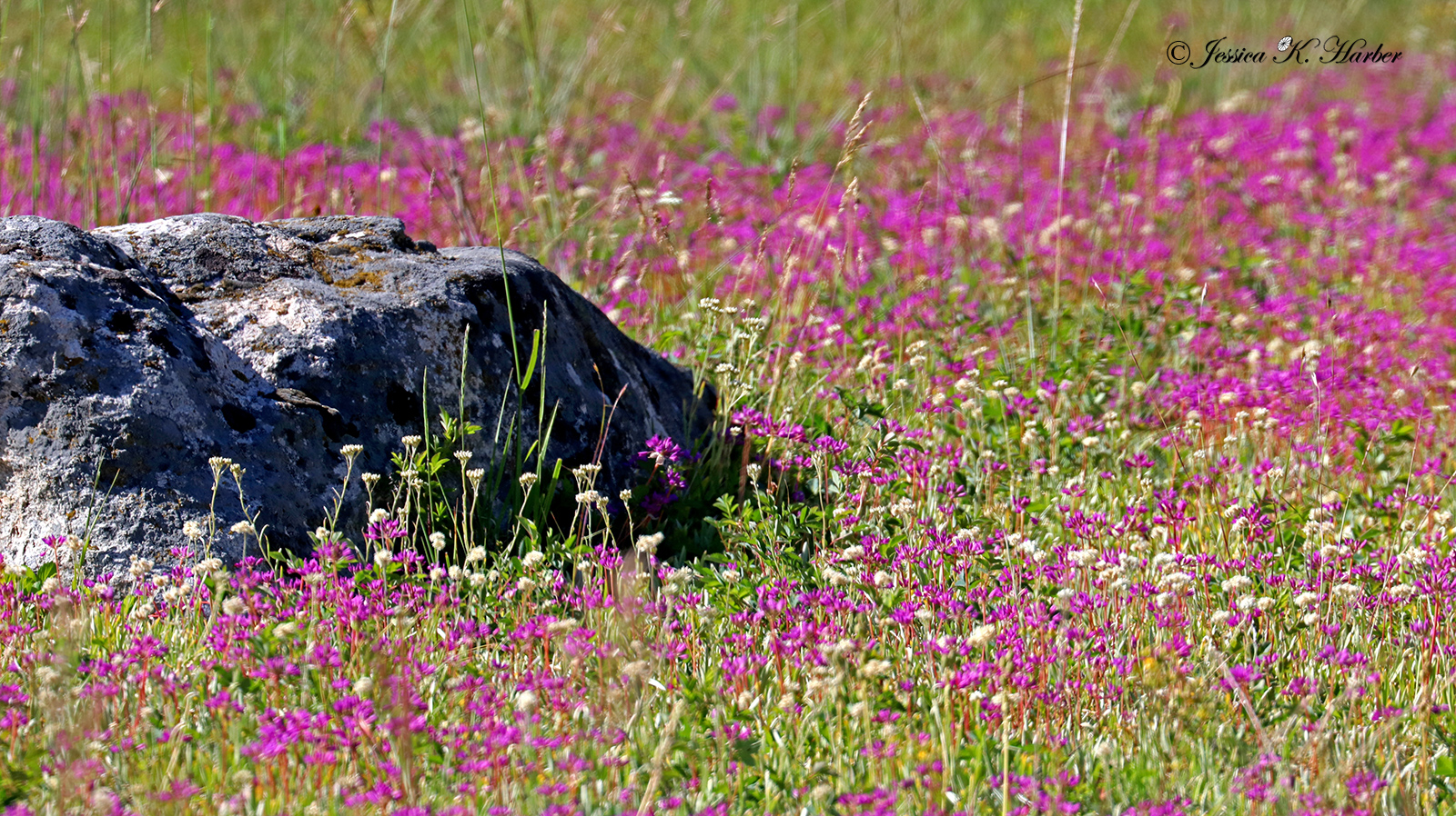
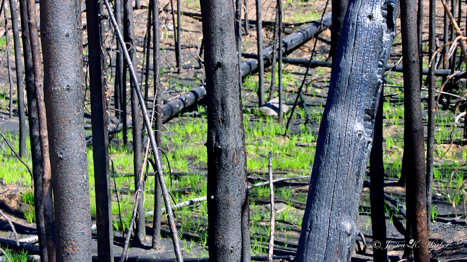
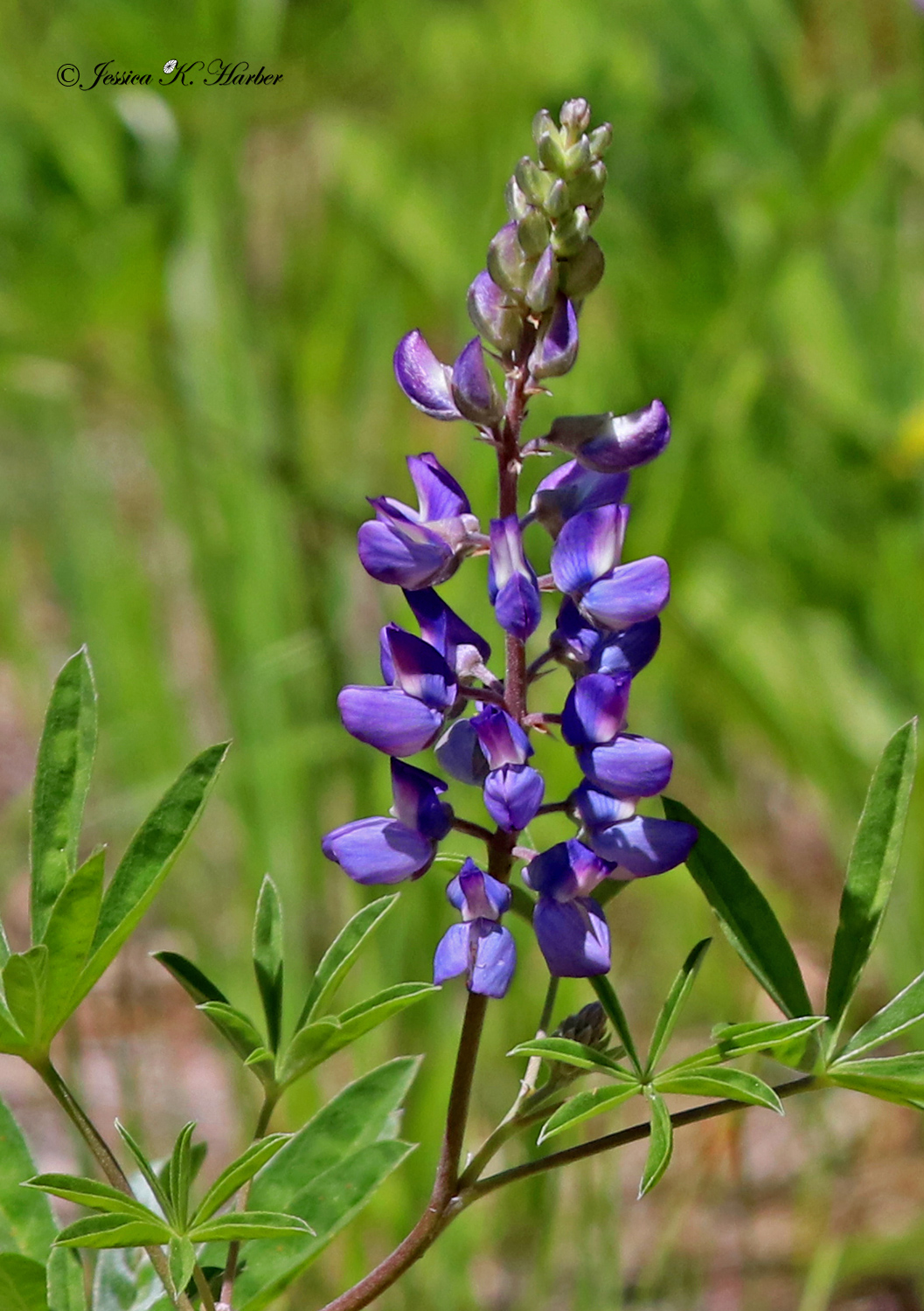
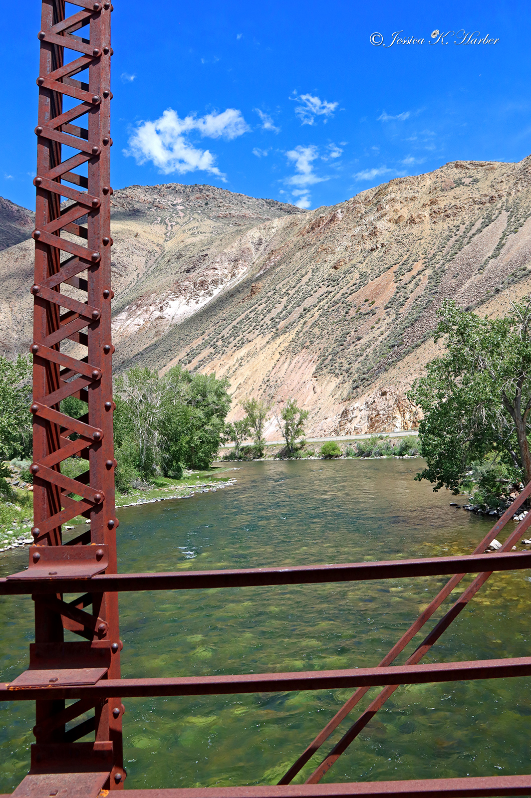
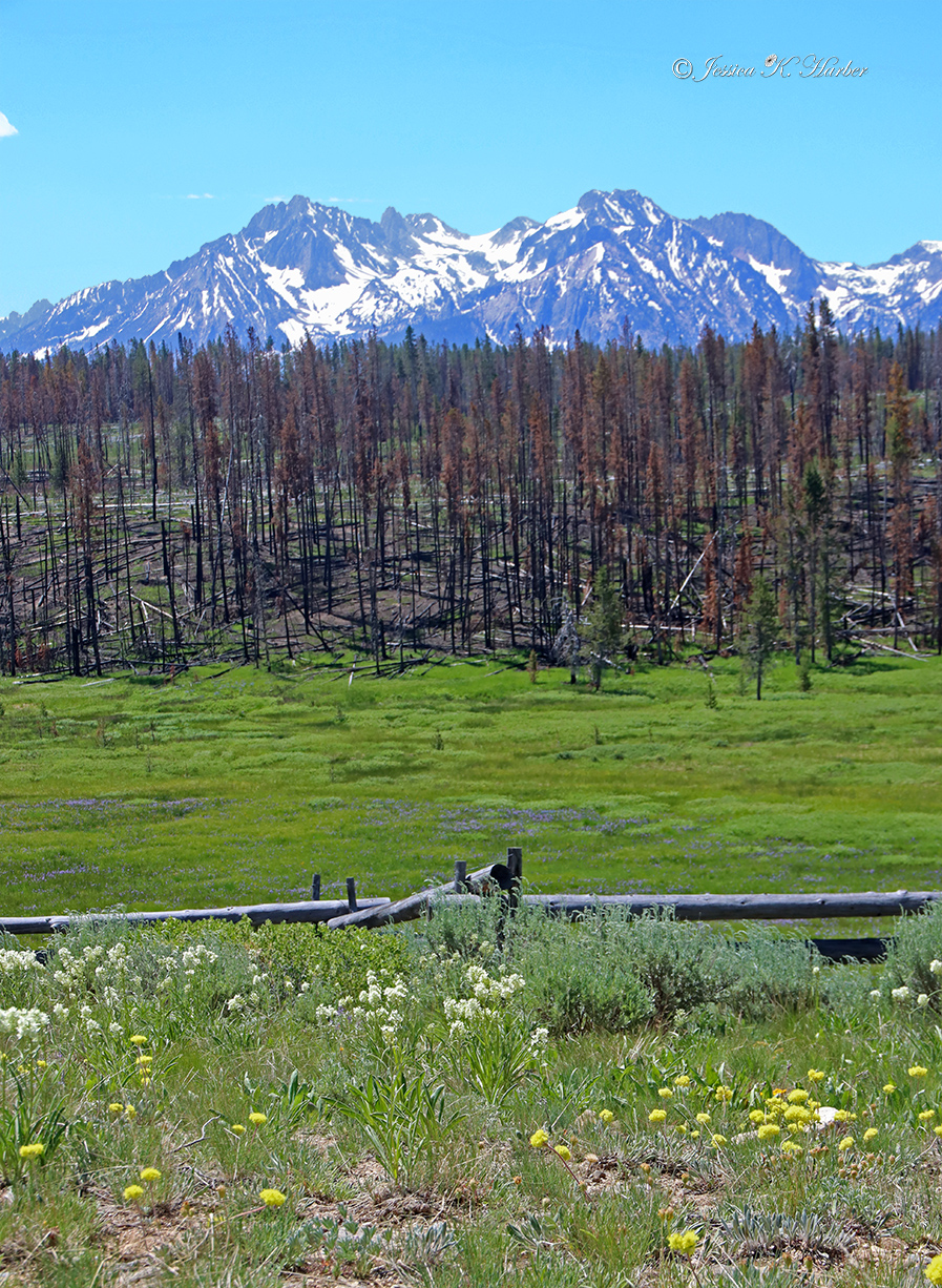
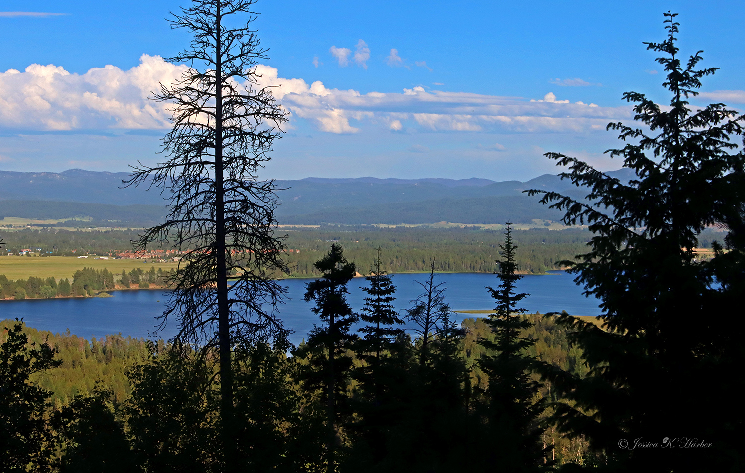
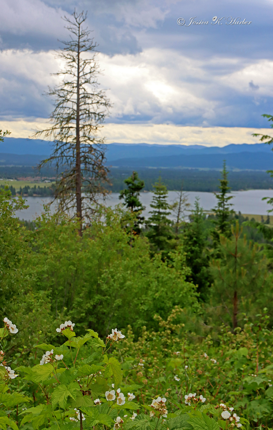
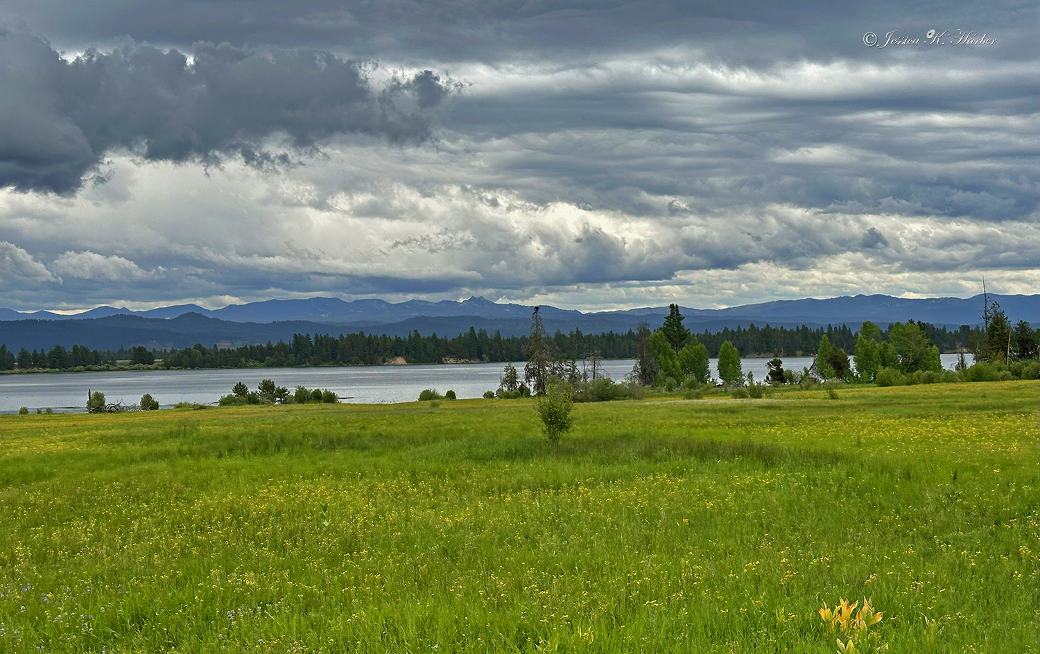
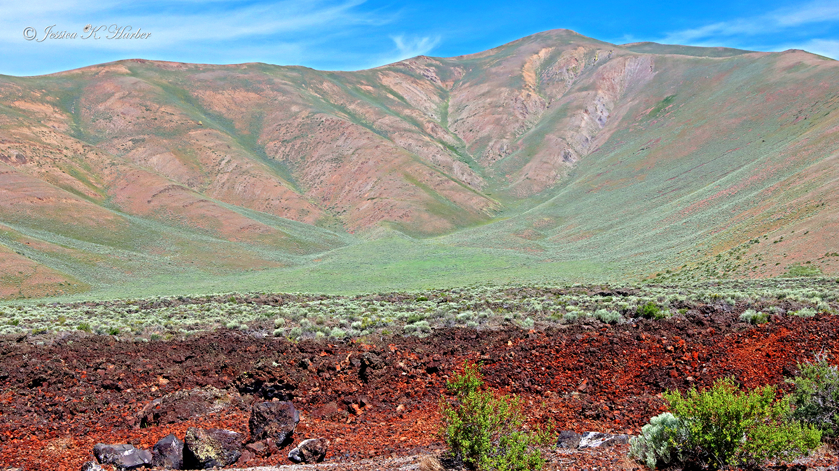
Since I worked part-time for the summer, I was able to explore the surrounding area on my off days. I had never spent any significant time in Idaho before but found it to be really beautiful. More info in the captions.
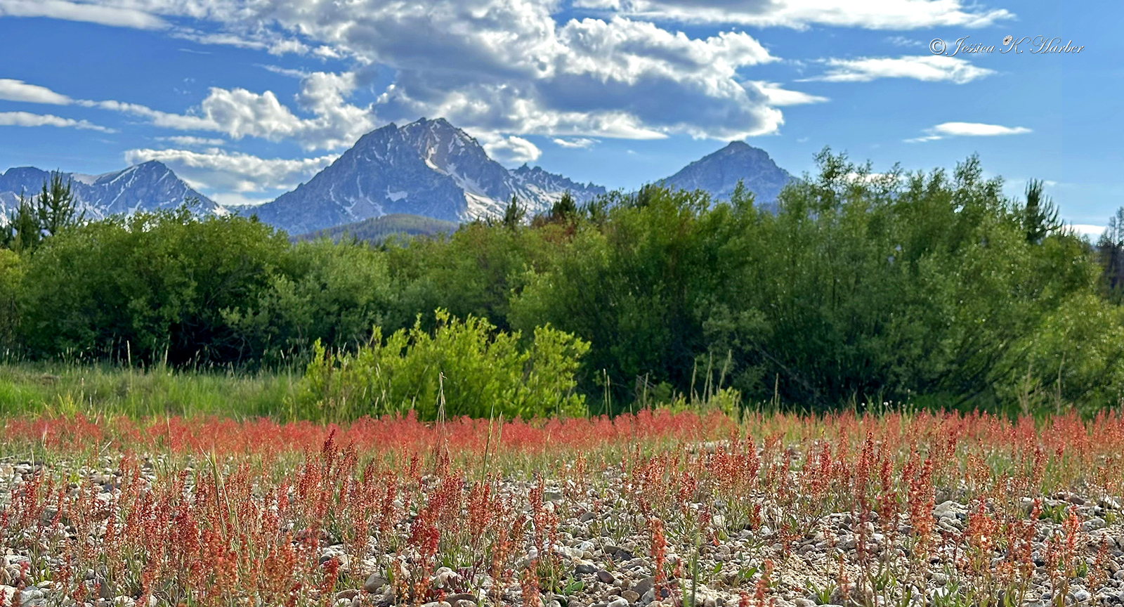
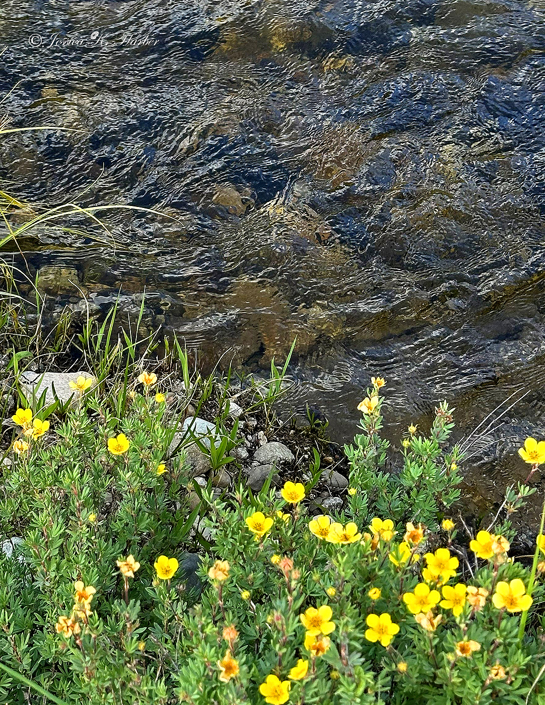
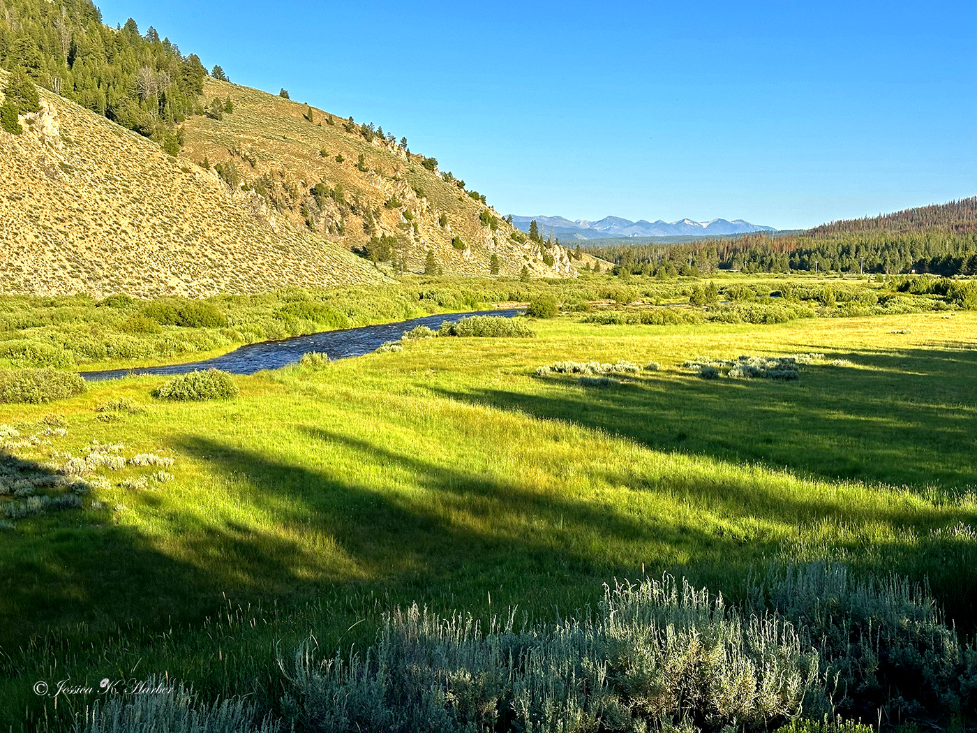
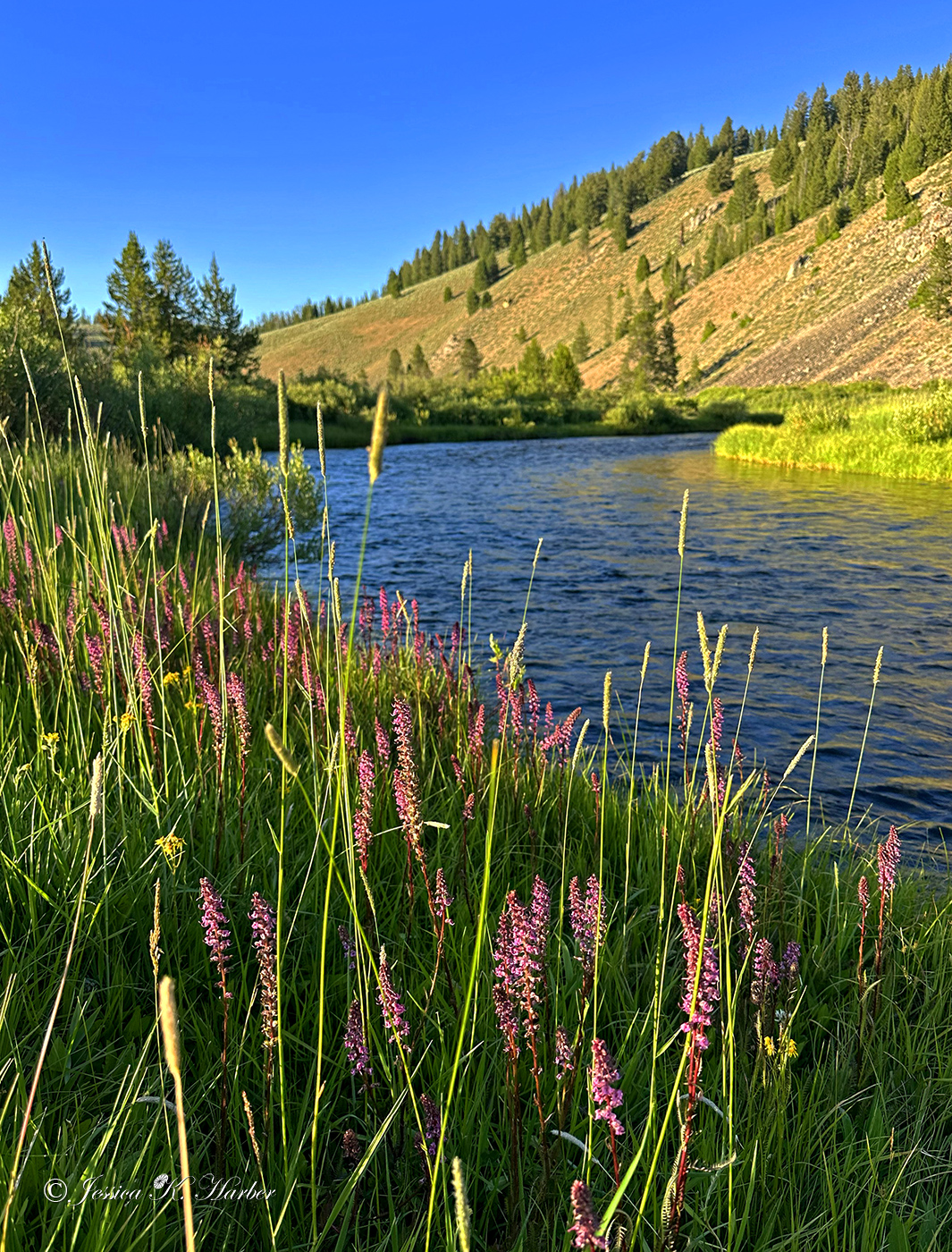
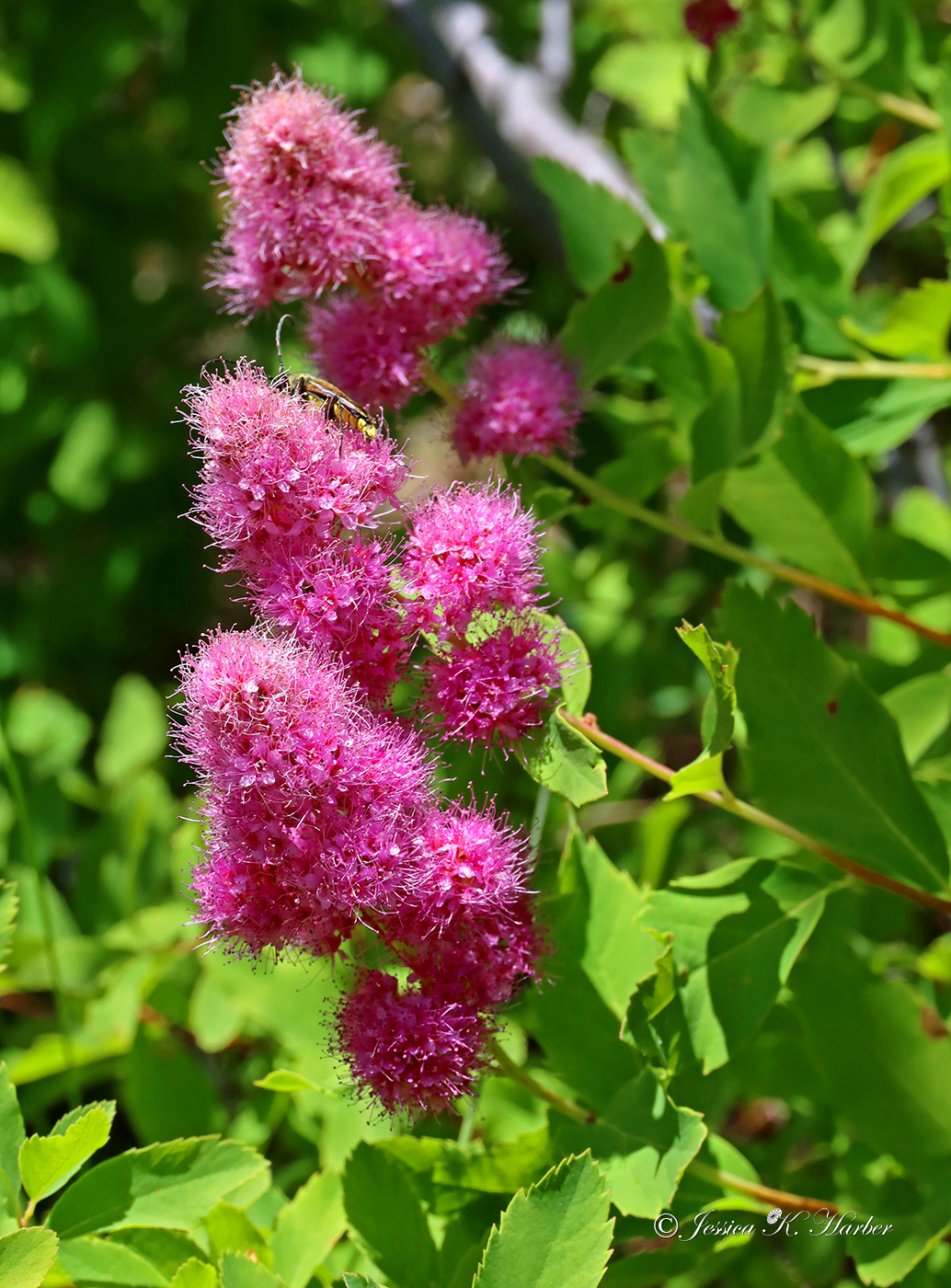
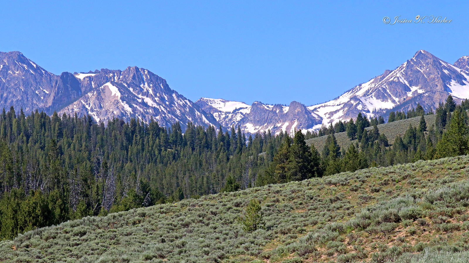
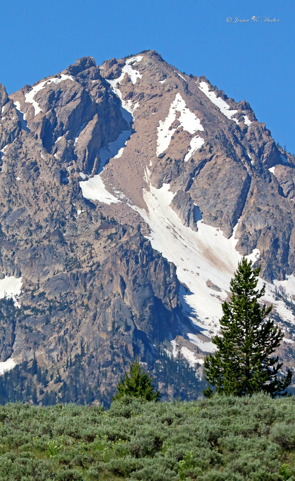
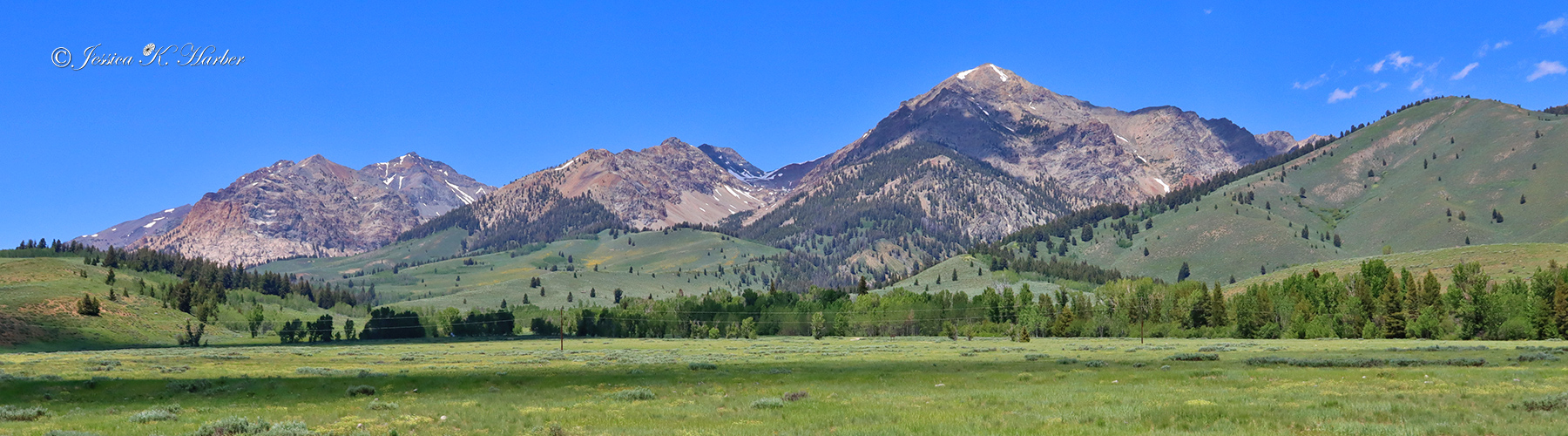
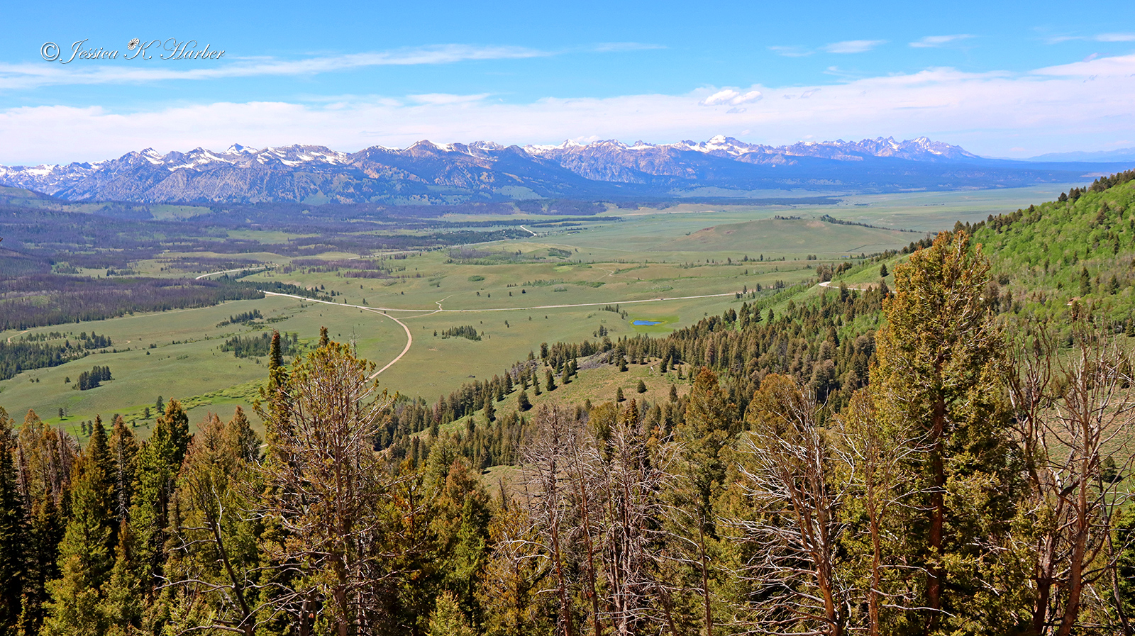
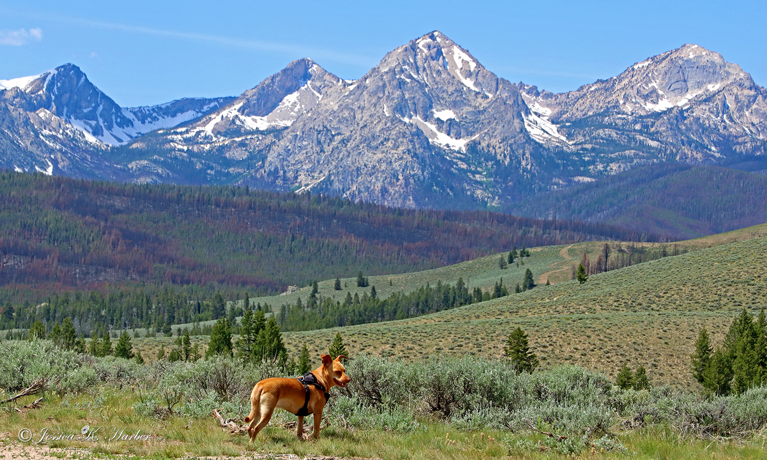
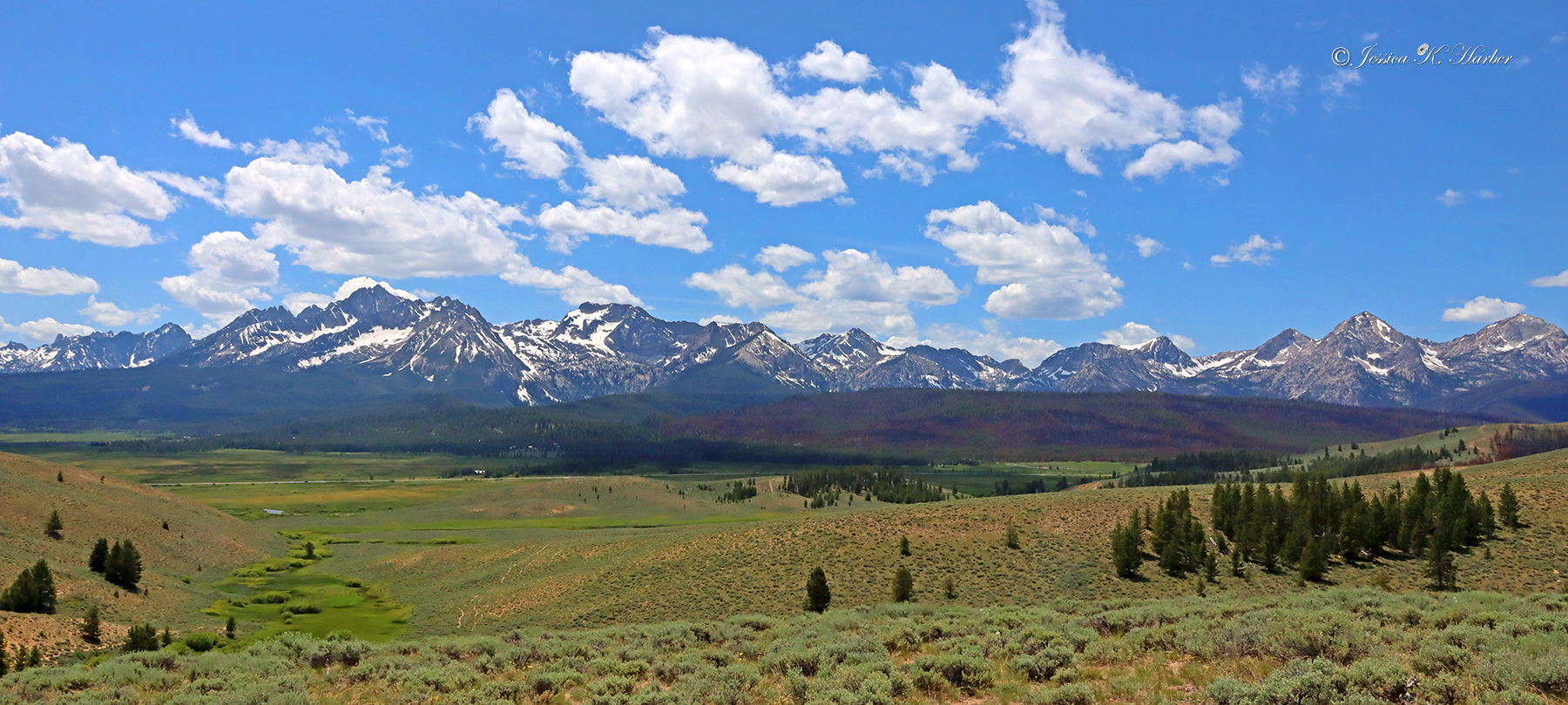
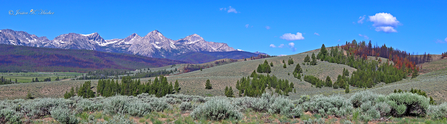
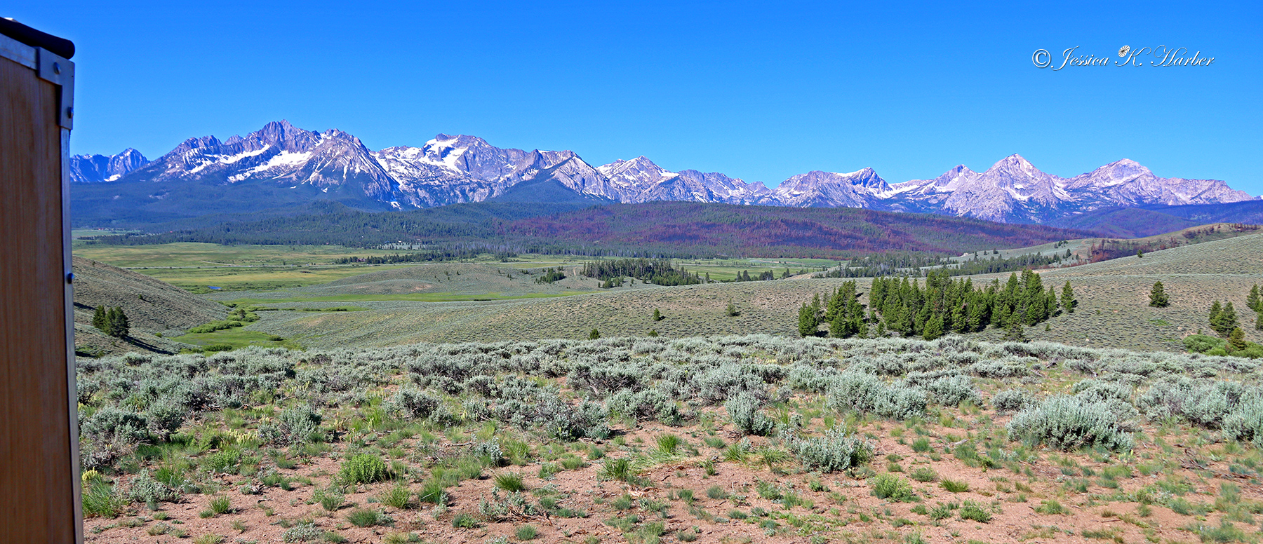
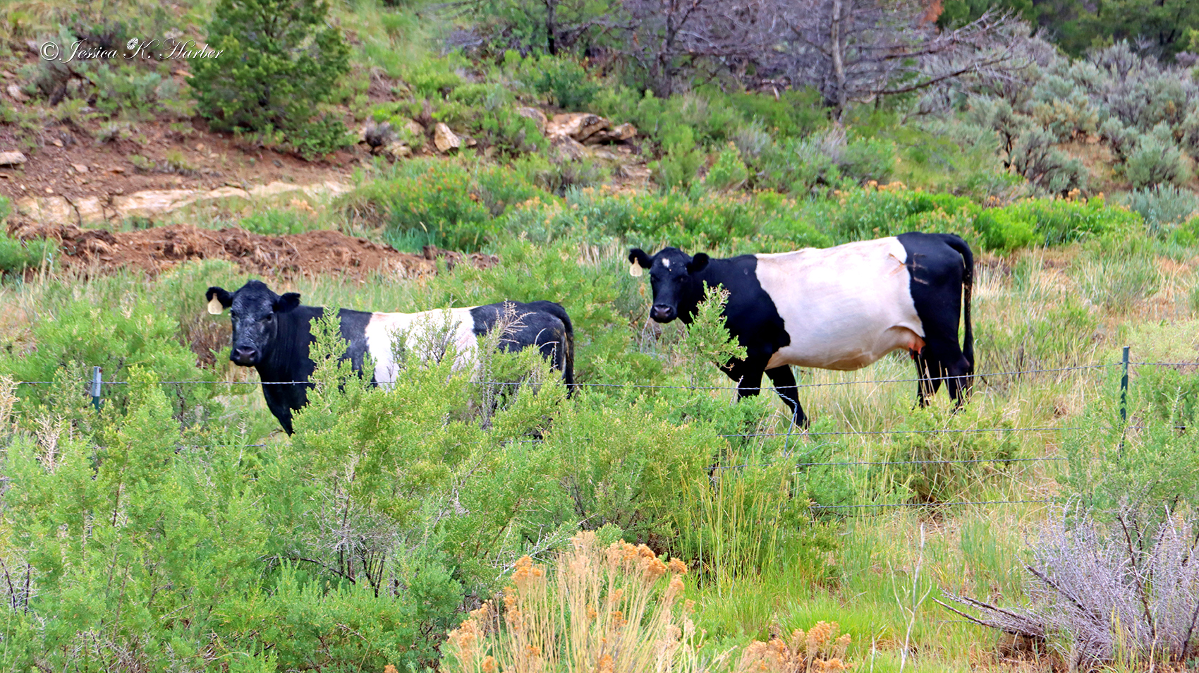
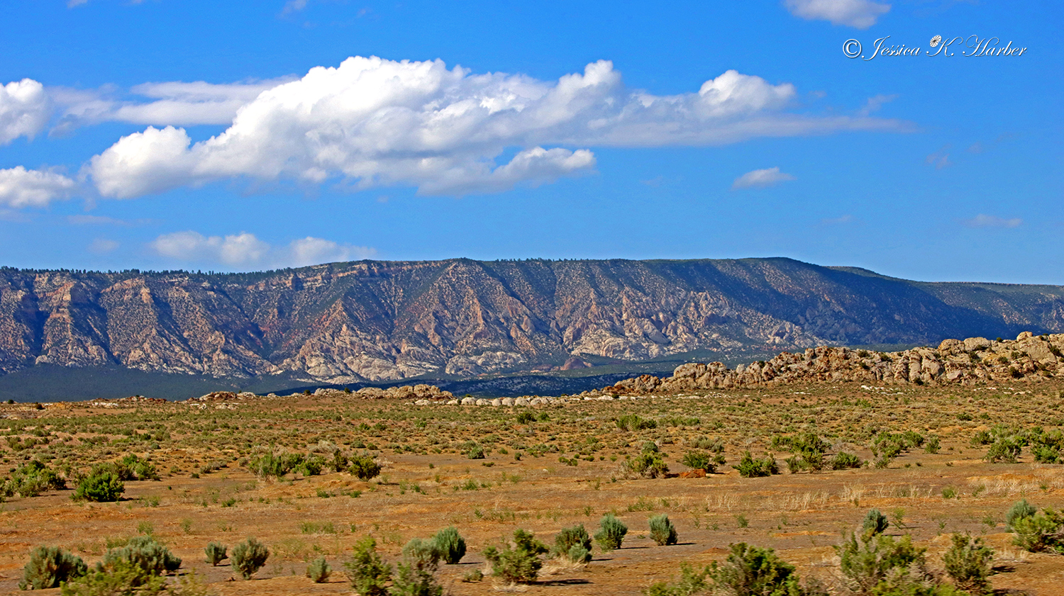
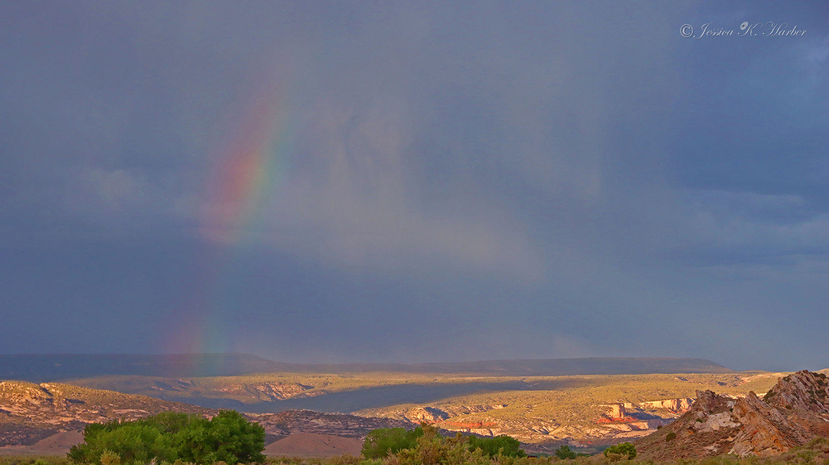
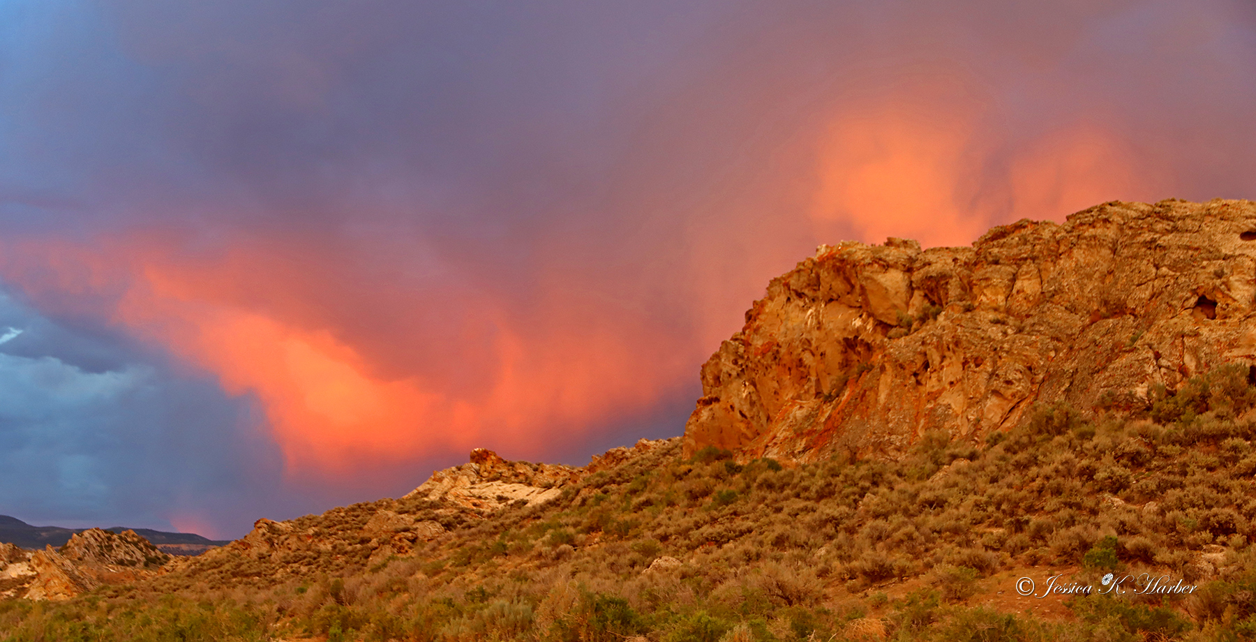
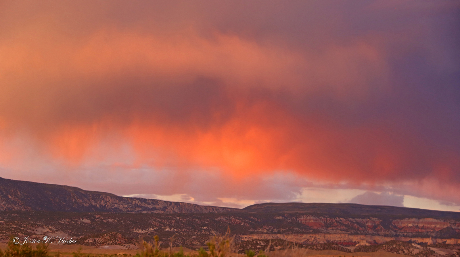
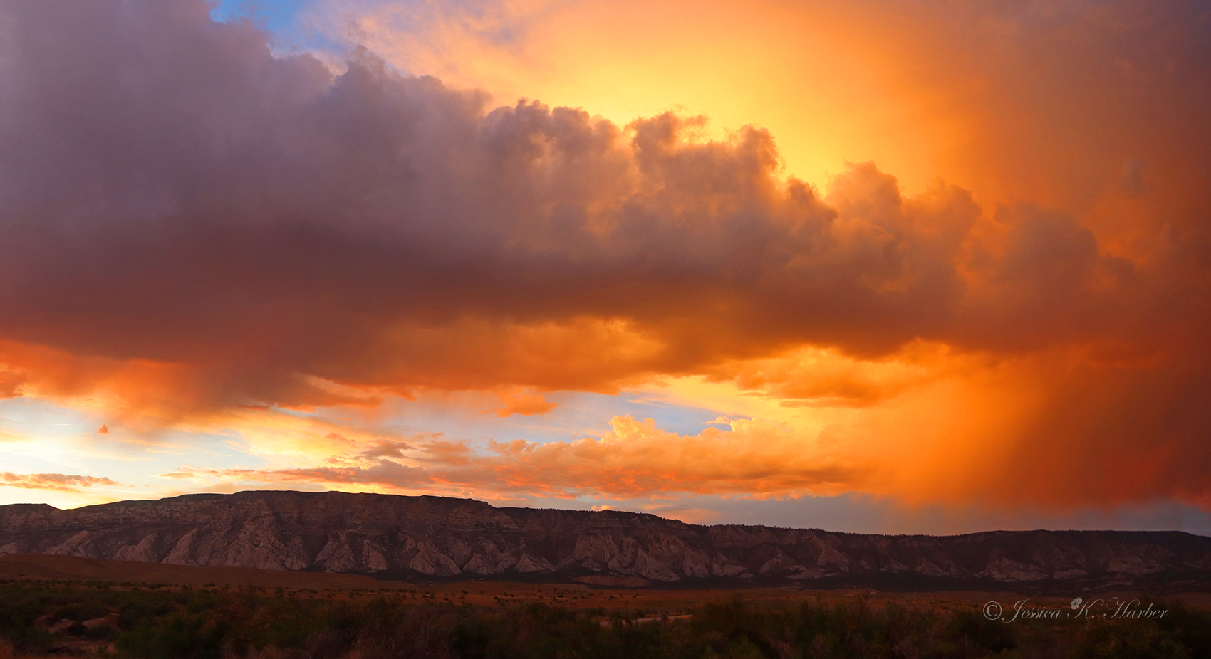
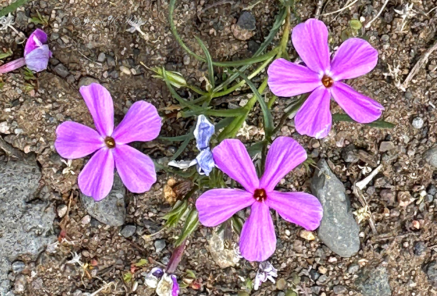
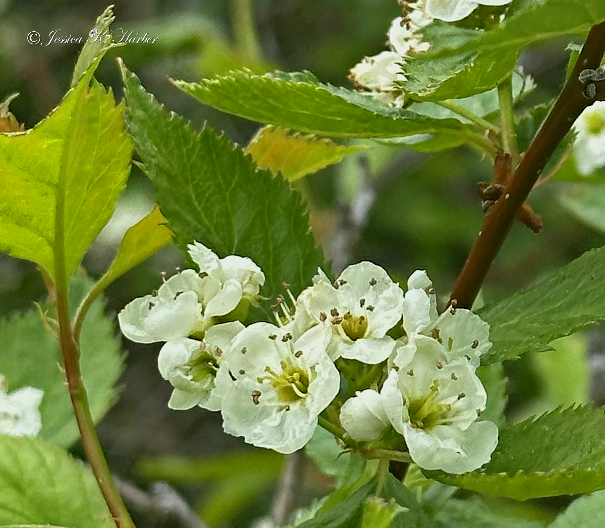
IDAHO. JUNE-JULY.

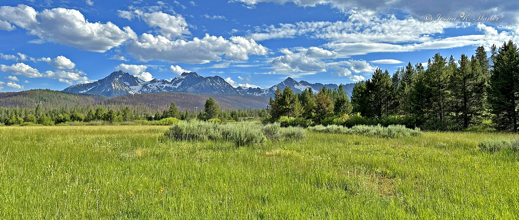
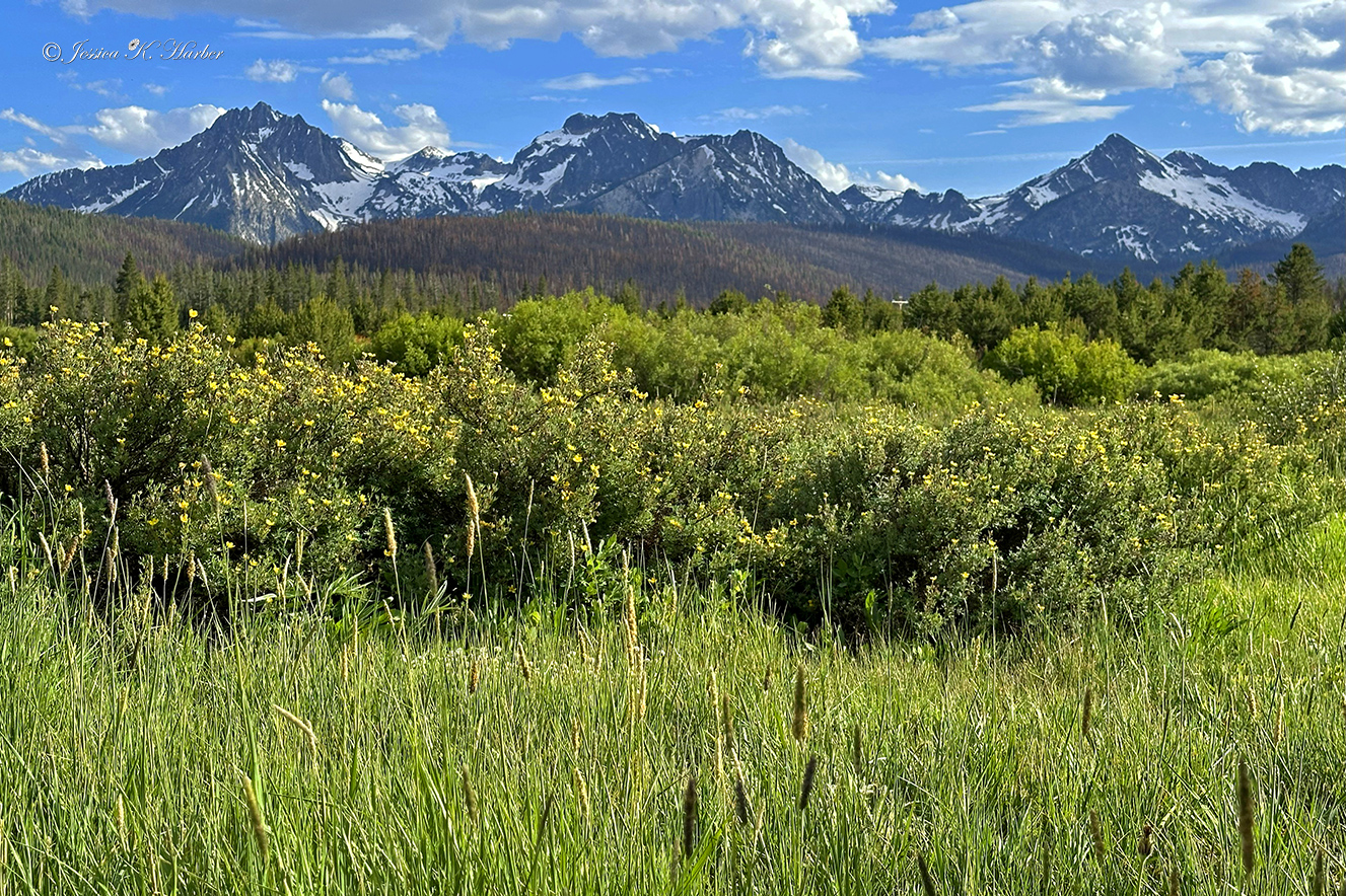
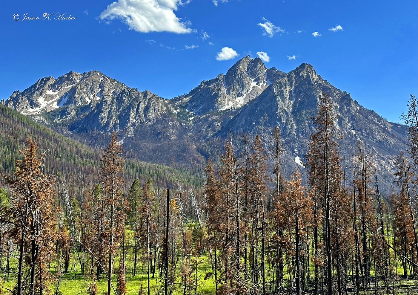
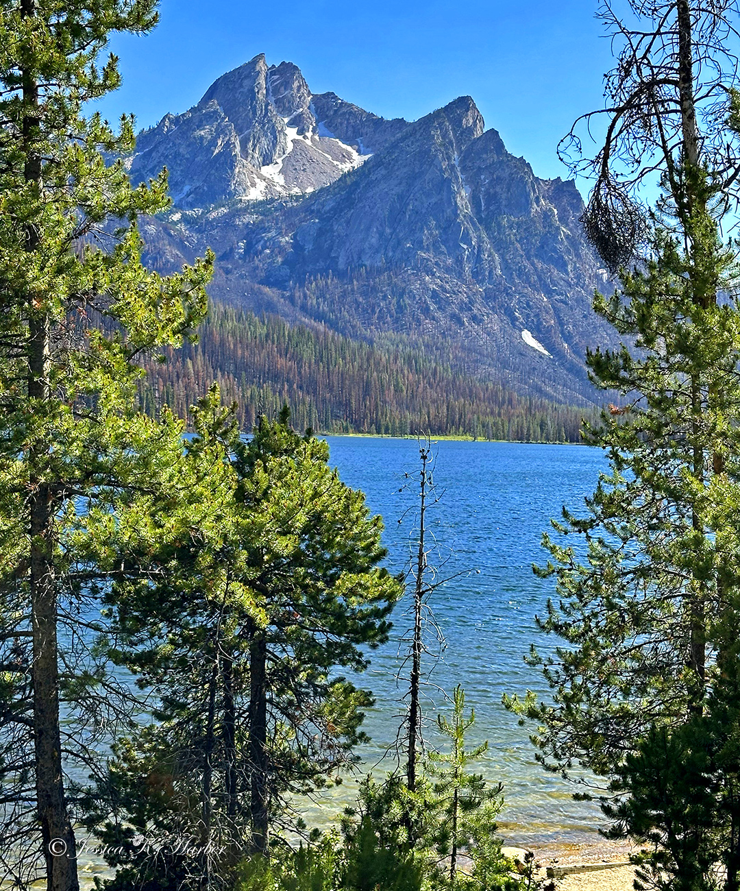

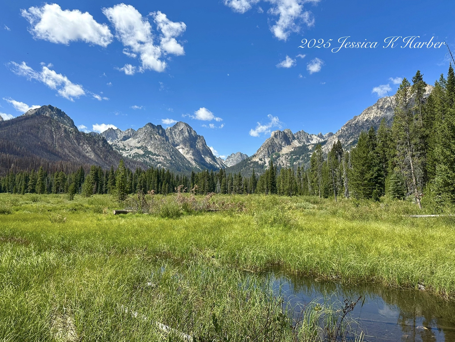
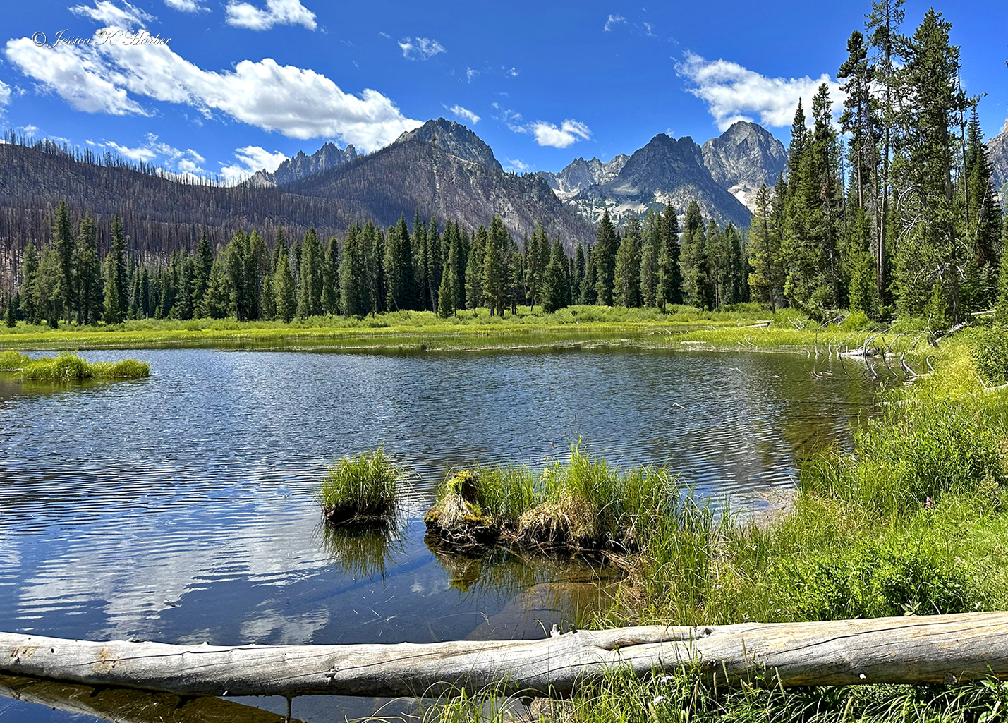
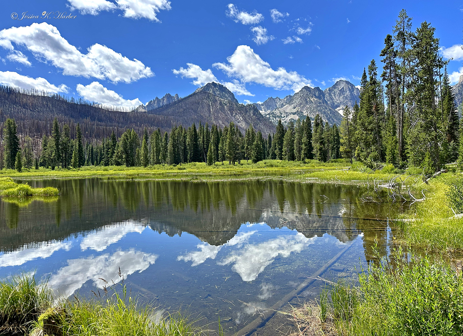
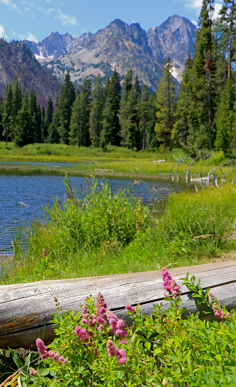
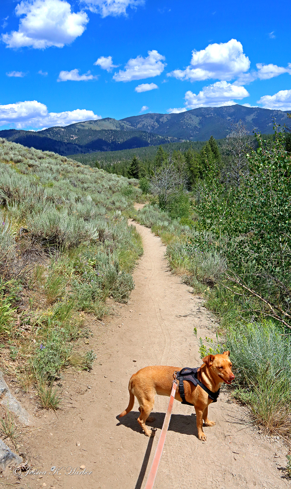

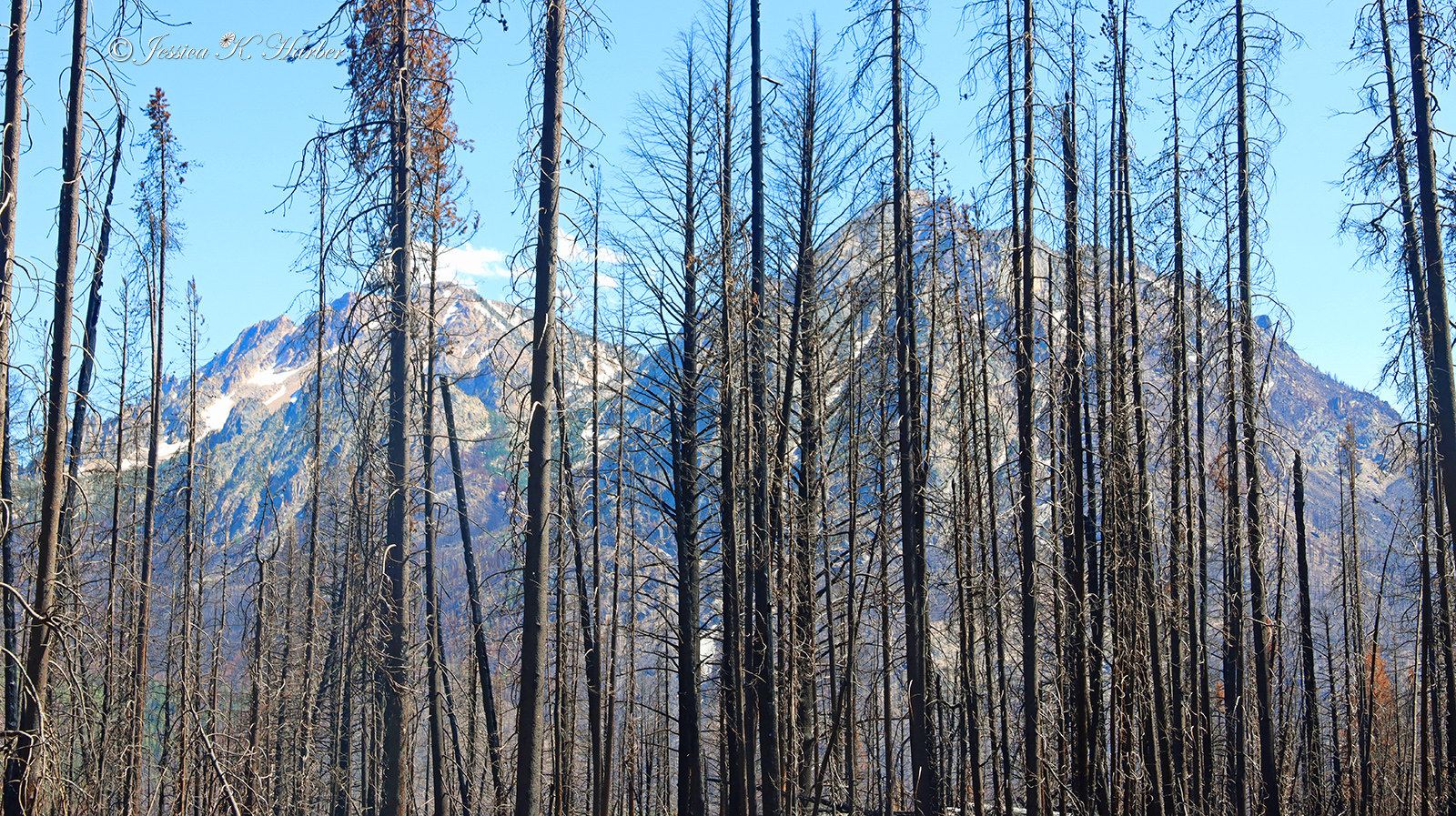
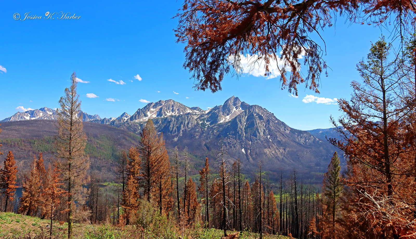
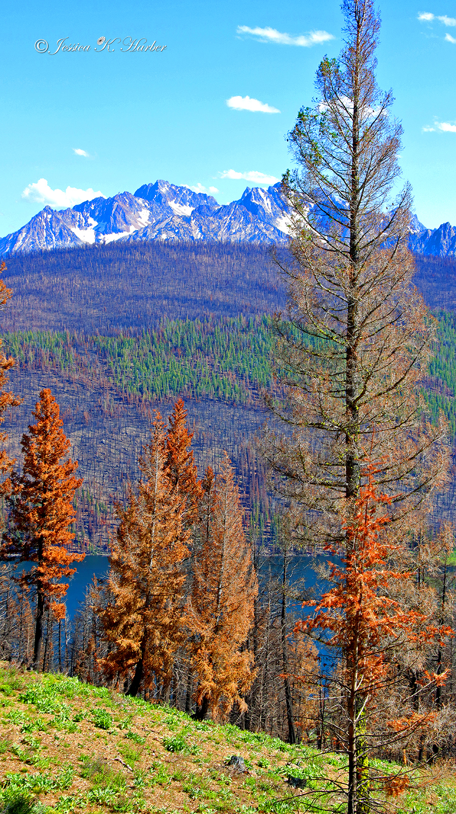
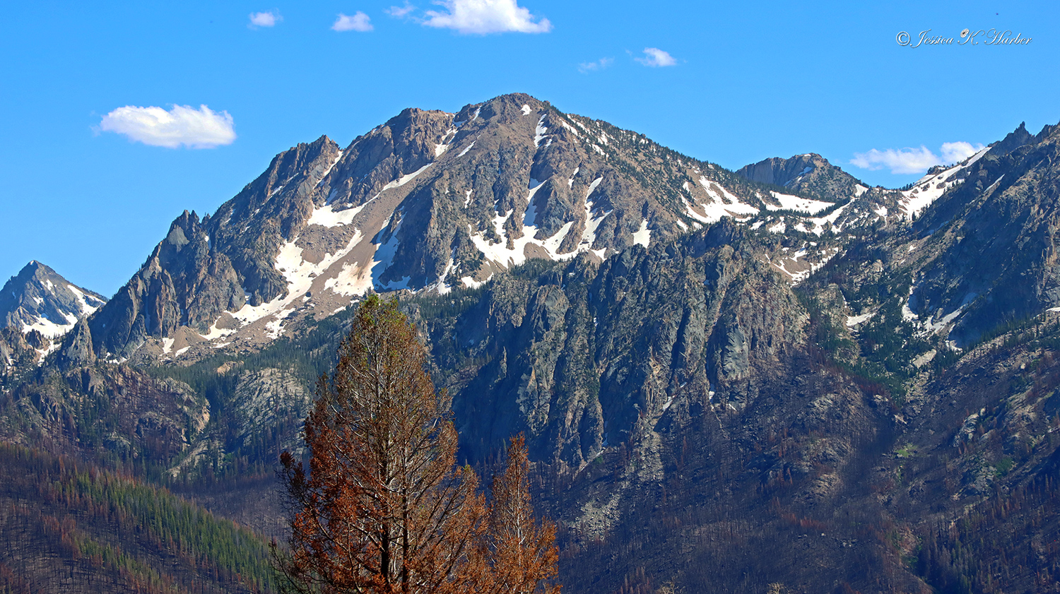
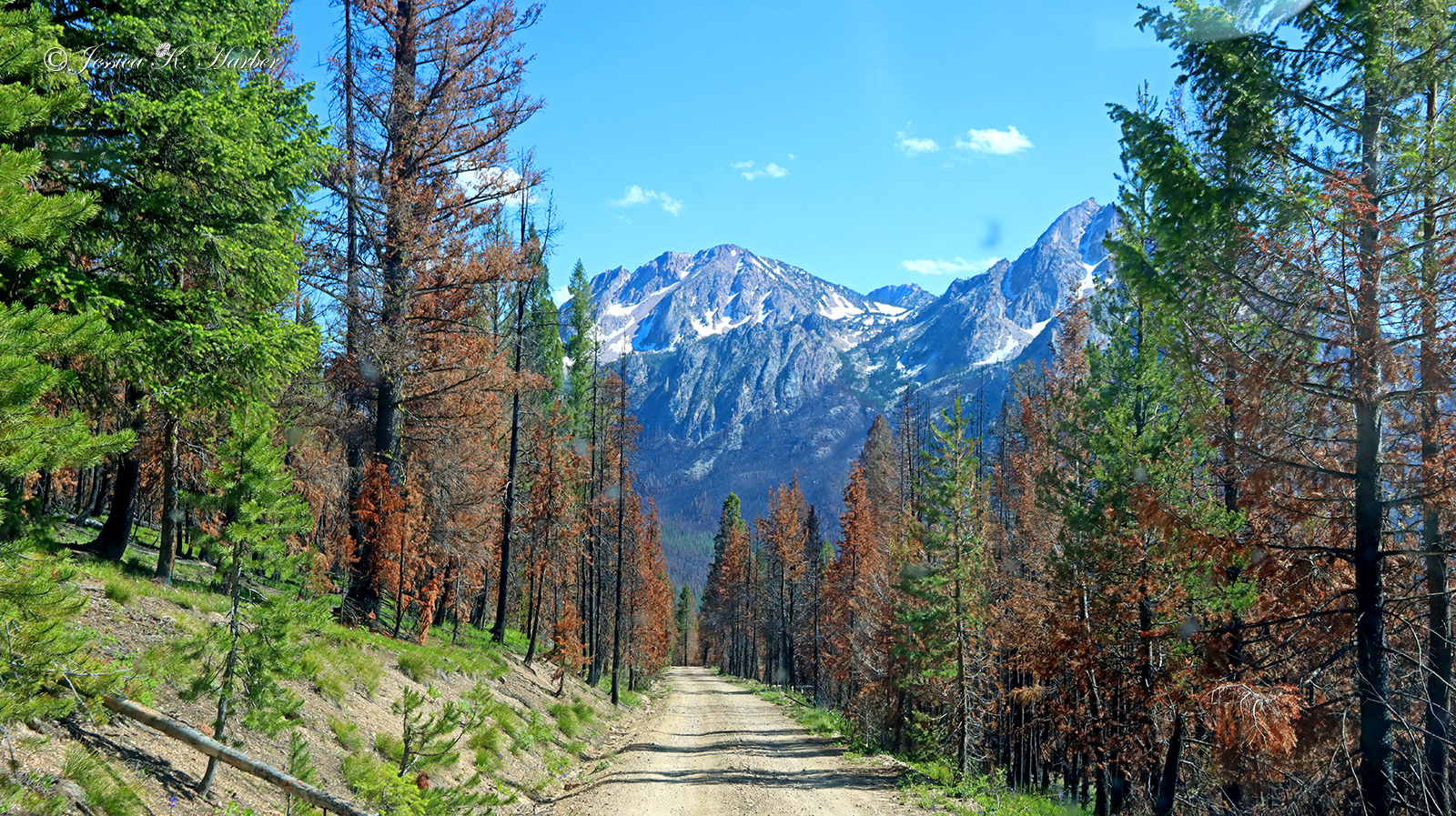
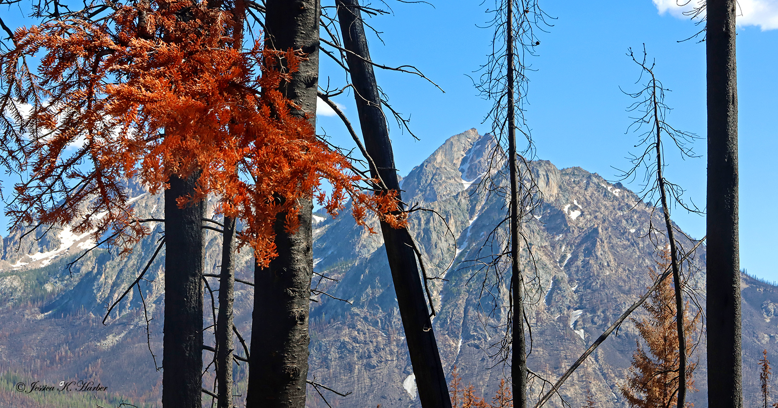
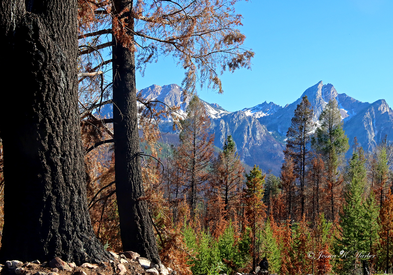
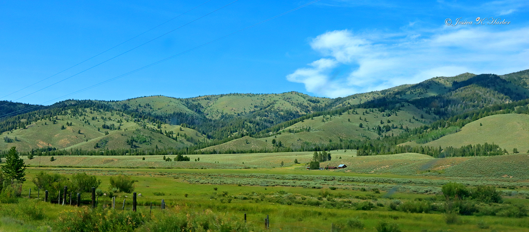
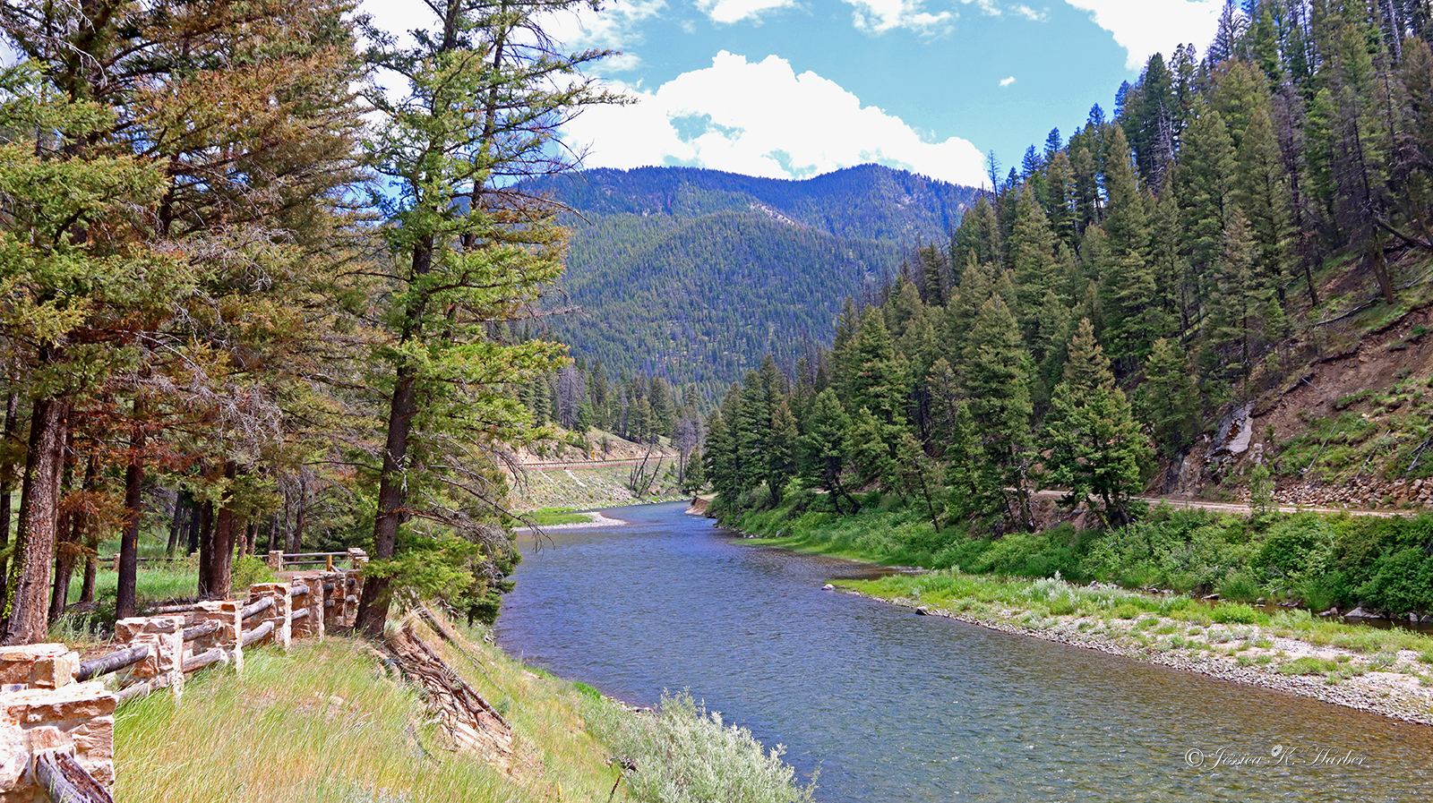
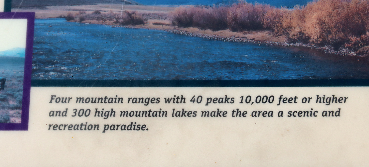
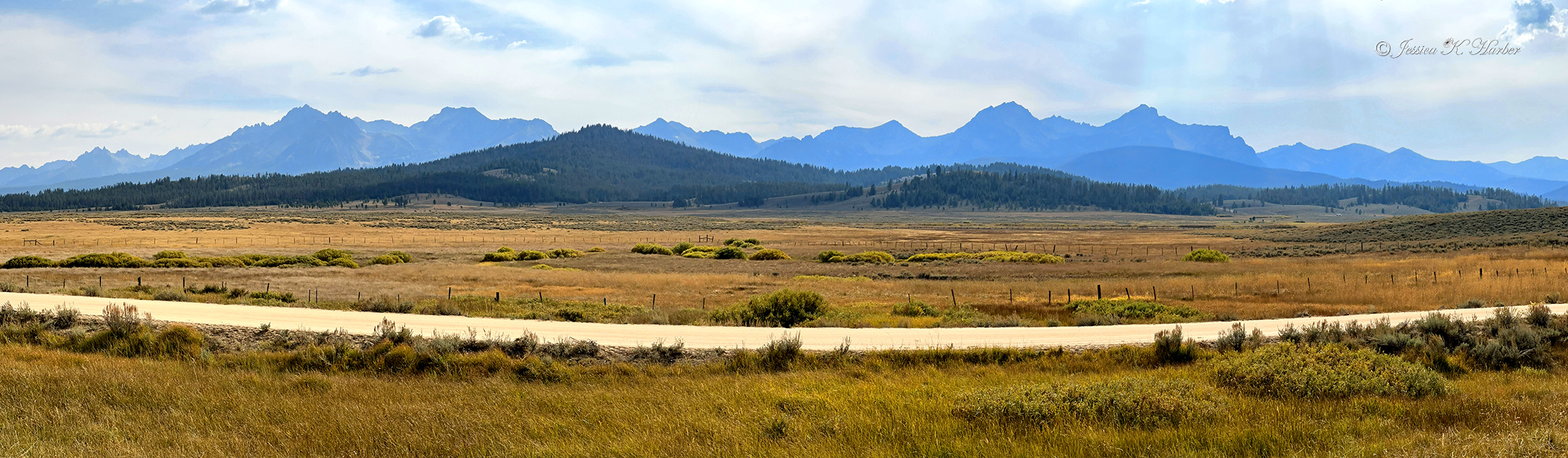
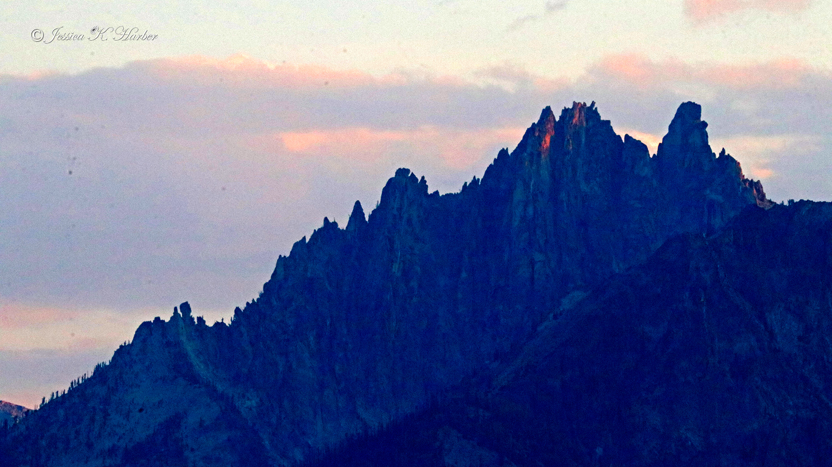
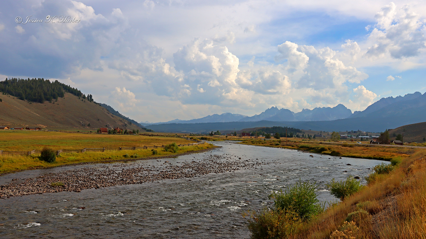
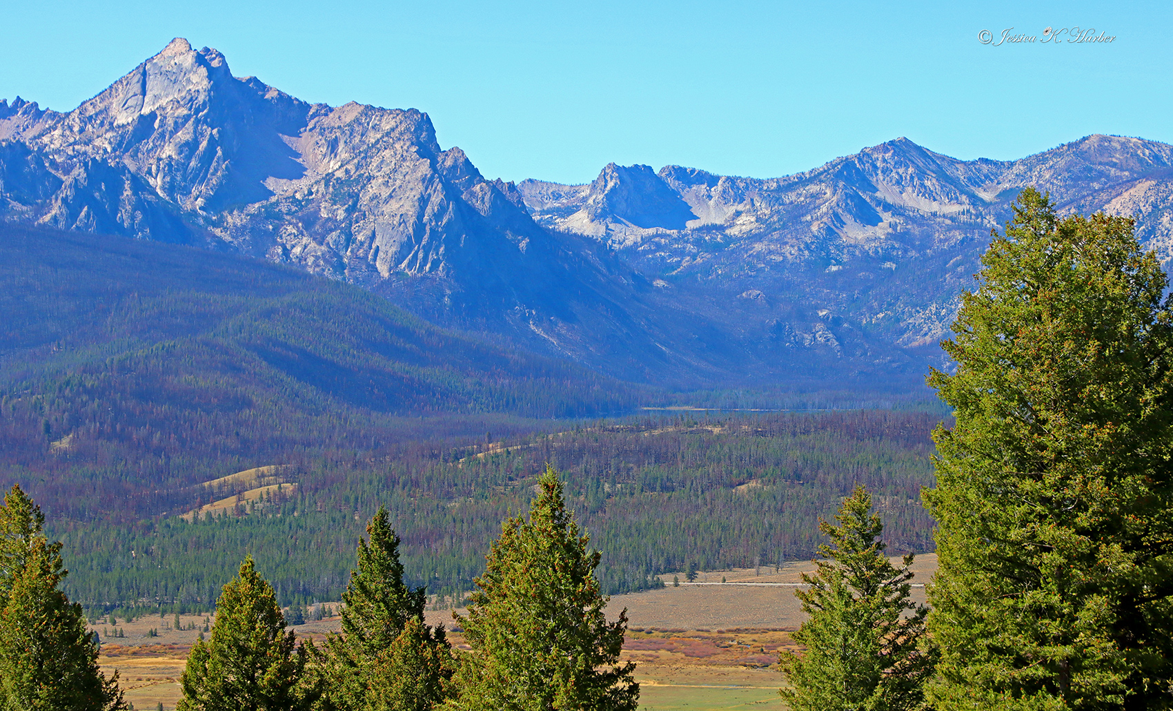
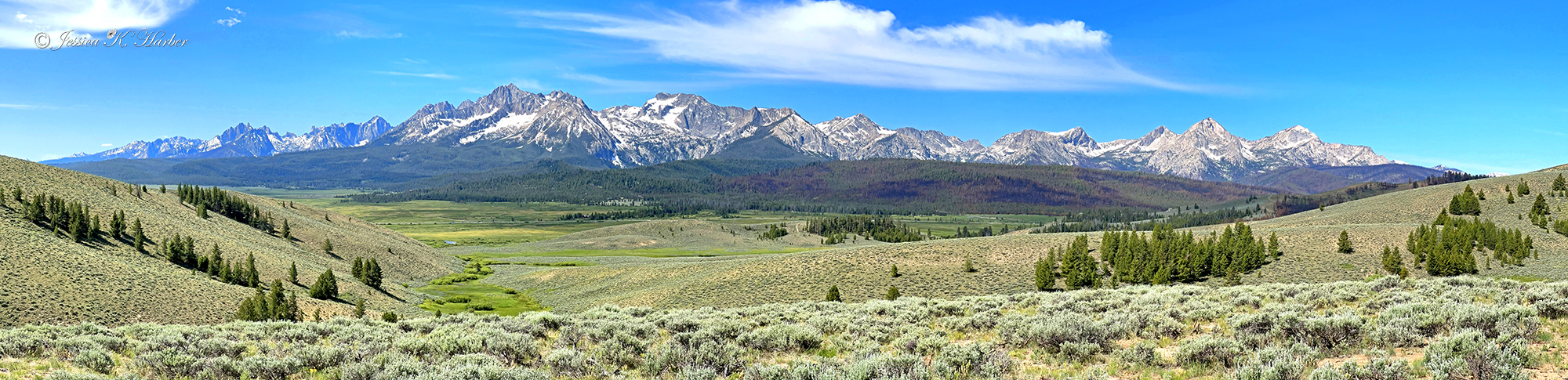
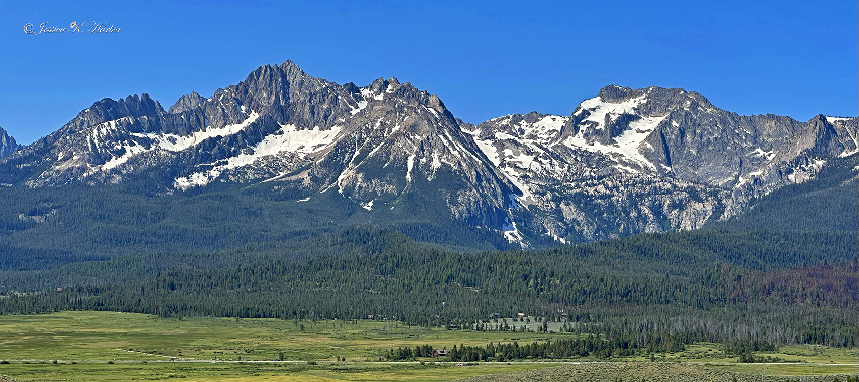
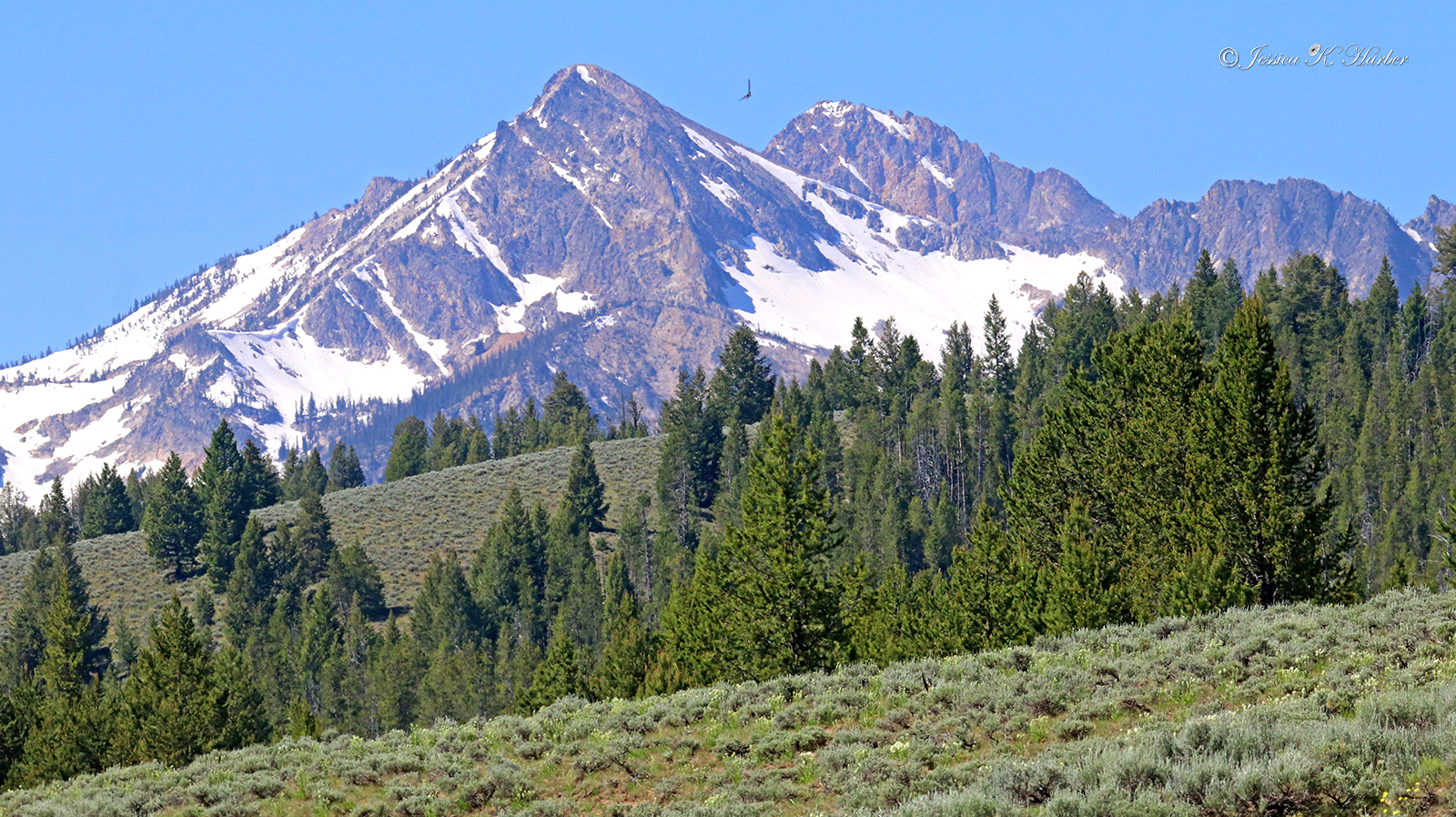
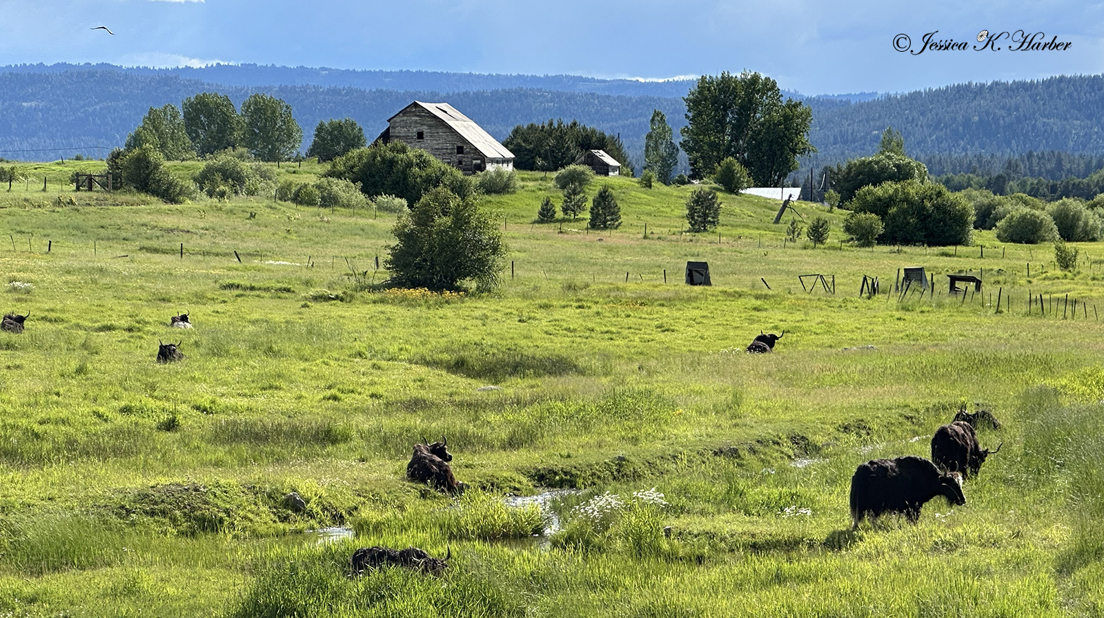
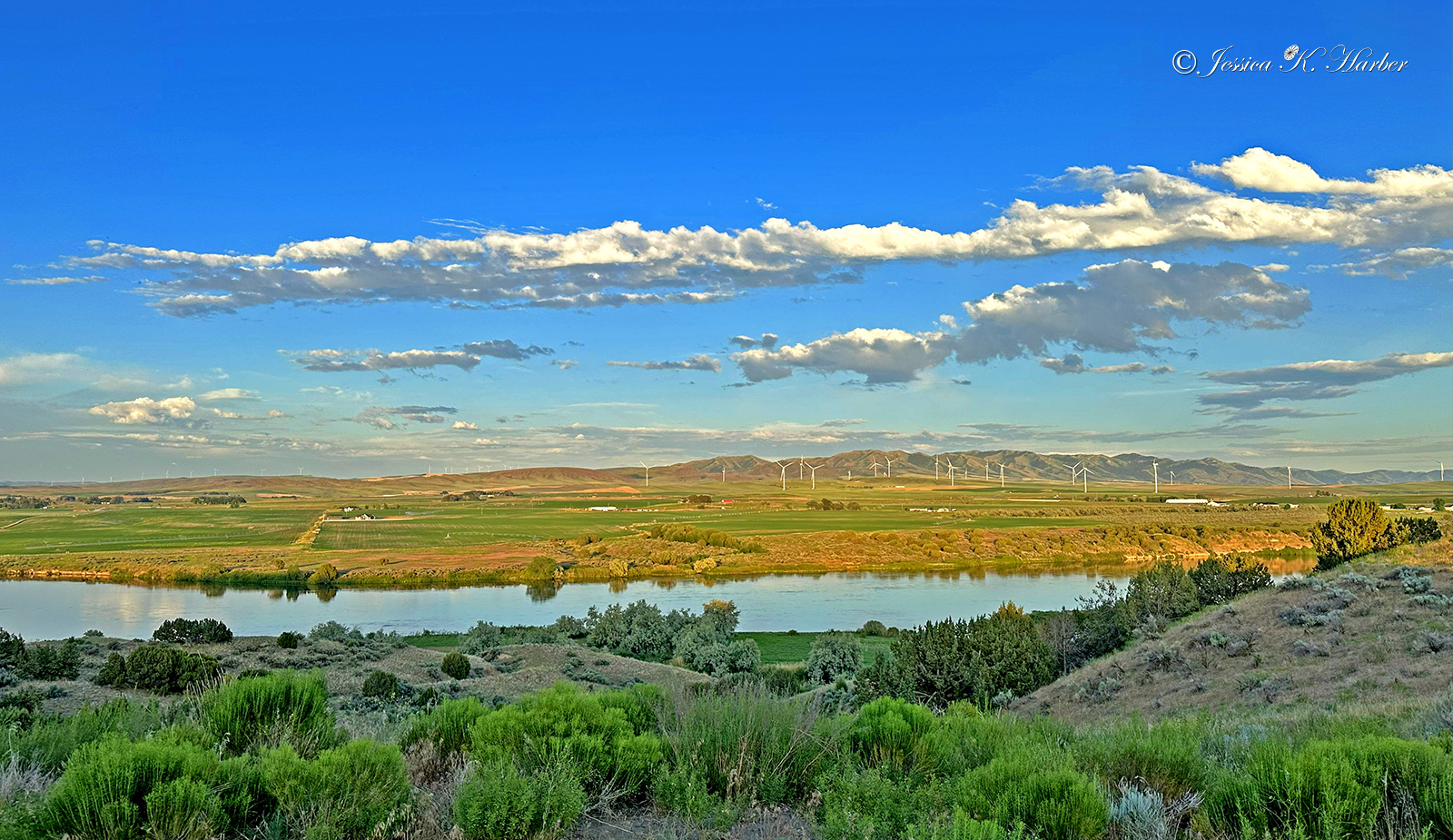
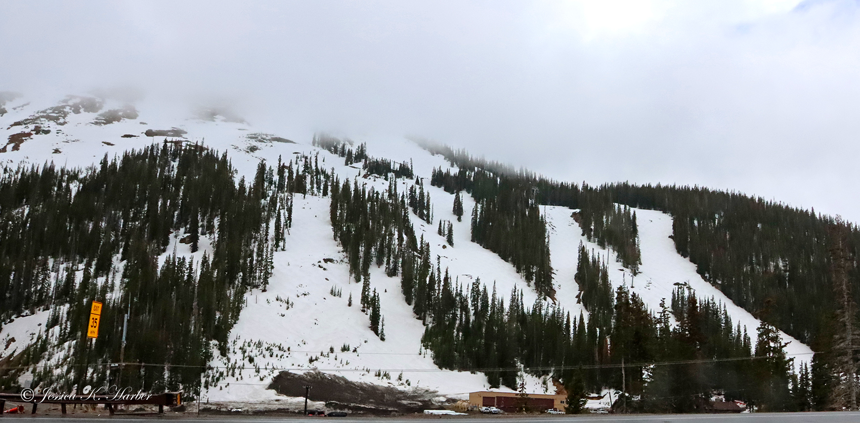
I continued traveling north in Idaho. On the way to my next stop, I saw the amazing Sawtooth Mountain Range for the first time.
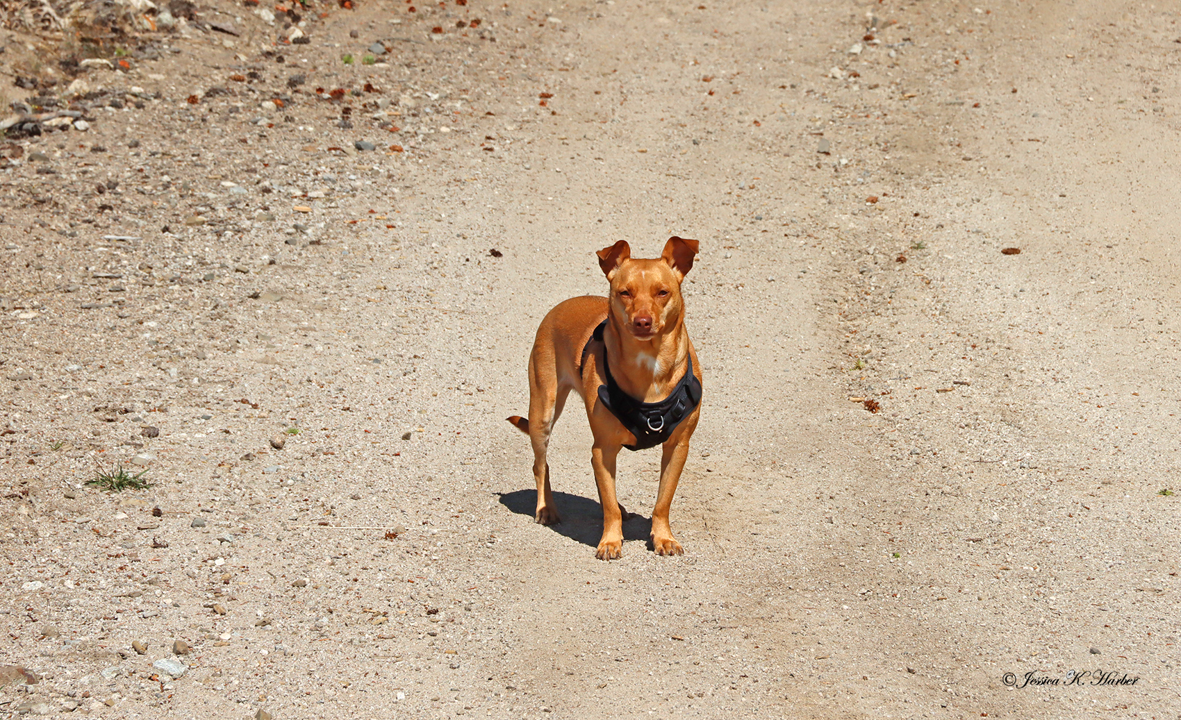
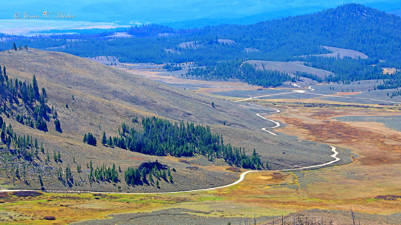
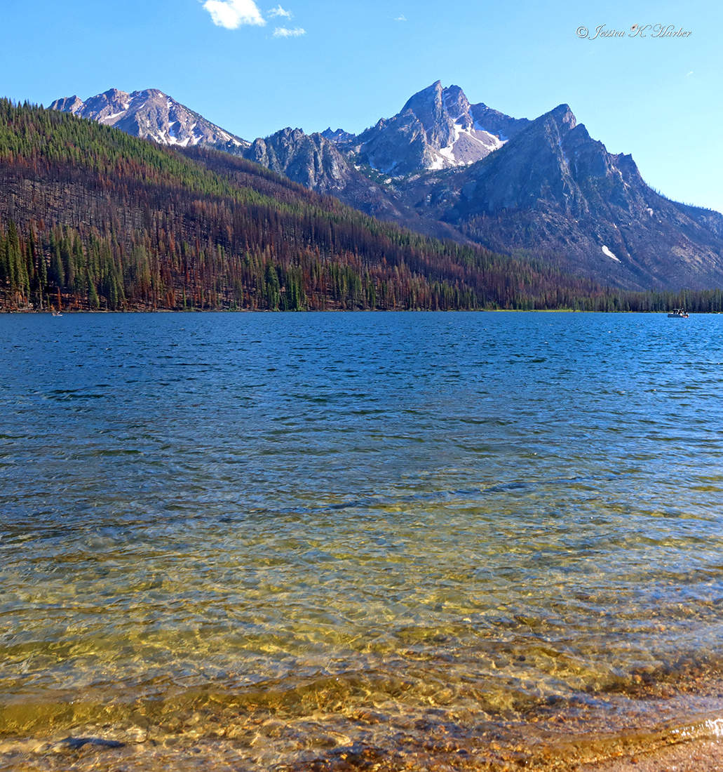
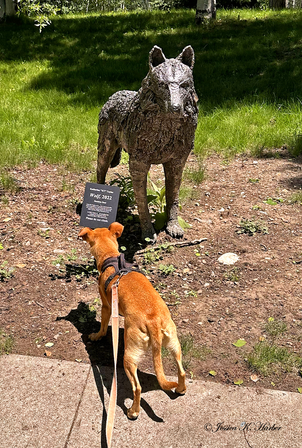
It turned out my next campsite, outside the small town of Stanley, had an outstanding view of the Sawtooths. When I arrived, the specific site I had found on an app was occupied so I parked my rig and took a hike with Sadie to look for another site. While on our hike, I happened to meet up with two ladies who were also hiking, Anne & Katherine. Anne kindly invited me to come to her & her husband’s home a couple hours away for my next stop.
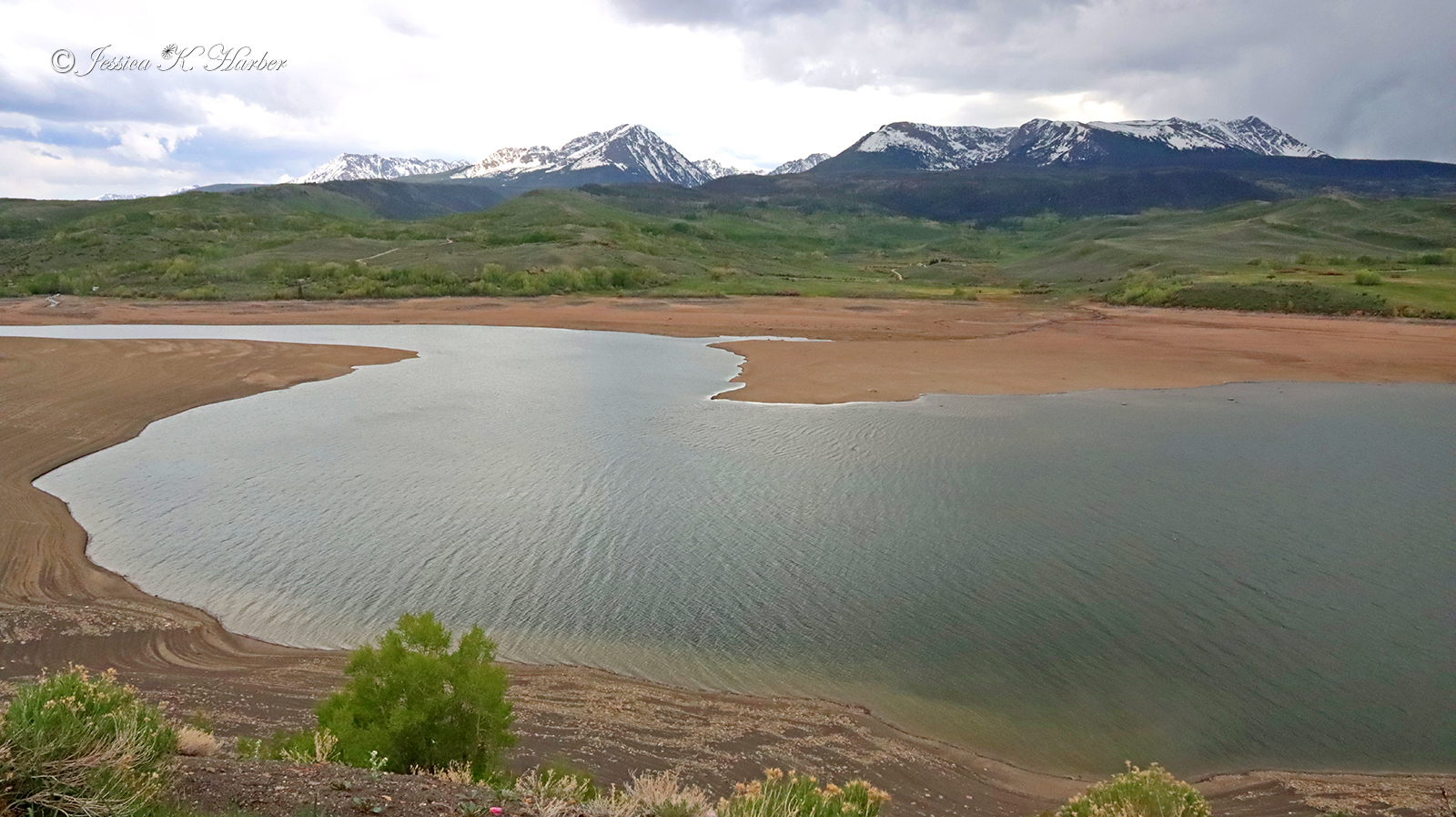
While I enjoyed first one site and then another with outstanding mountain views, I was also monitoring a Facebook page listing “workamping” jobs. To my surprise, I saw one that was just a few minutes from where I was camped. I contacted them, went for an in-person interview, and (later) got the job. It was a bit before I was to report, so I went on up to visit with Anne in McCall. On the way, I stayed one night above beautiful Lake Cascade (which had been my original destination in coming to Central Idaho). The next day, I made my way to Anne & Joe’s beautiful home. Their hospitality, including meals at an actual dining table, proper showers, and the opportunity to finally clean the mud off my rig from City of Rocks was much appreciated. McCall is a beautiful resort town with water and snow and golf playgrounds.
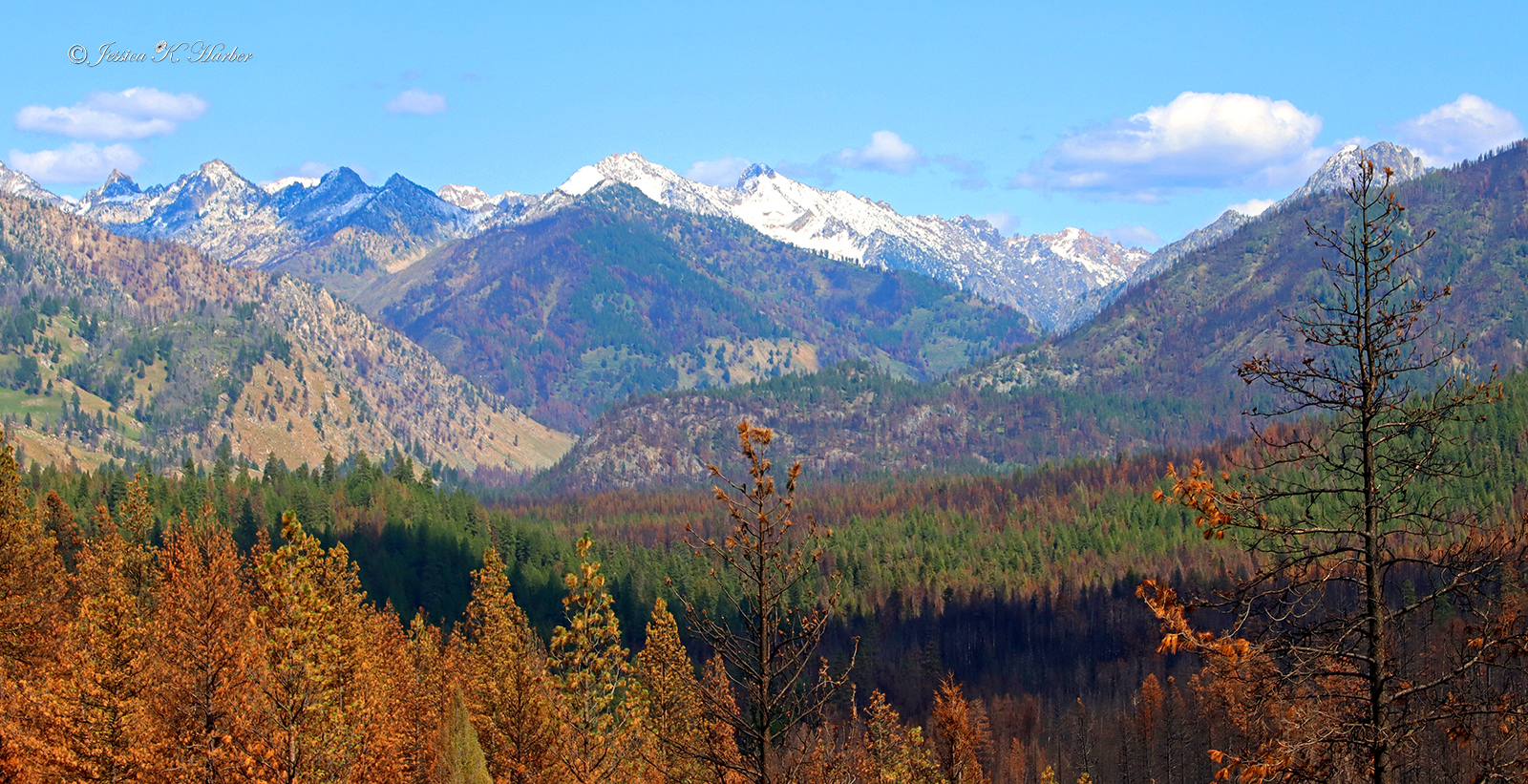
I may have overdone this gallery with mountain scenes, but I can’t get enough of them. The Tetons and the Sawtooths are ranked one and two in my book–not necessarily in that order.
IDAHO. JUNE.

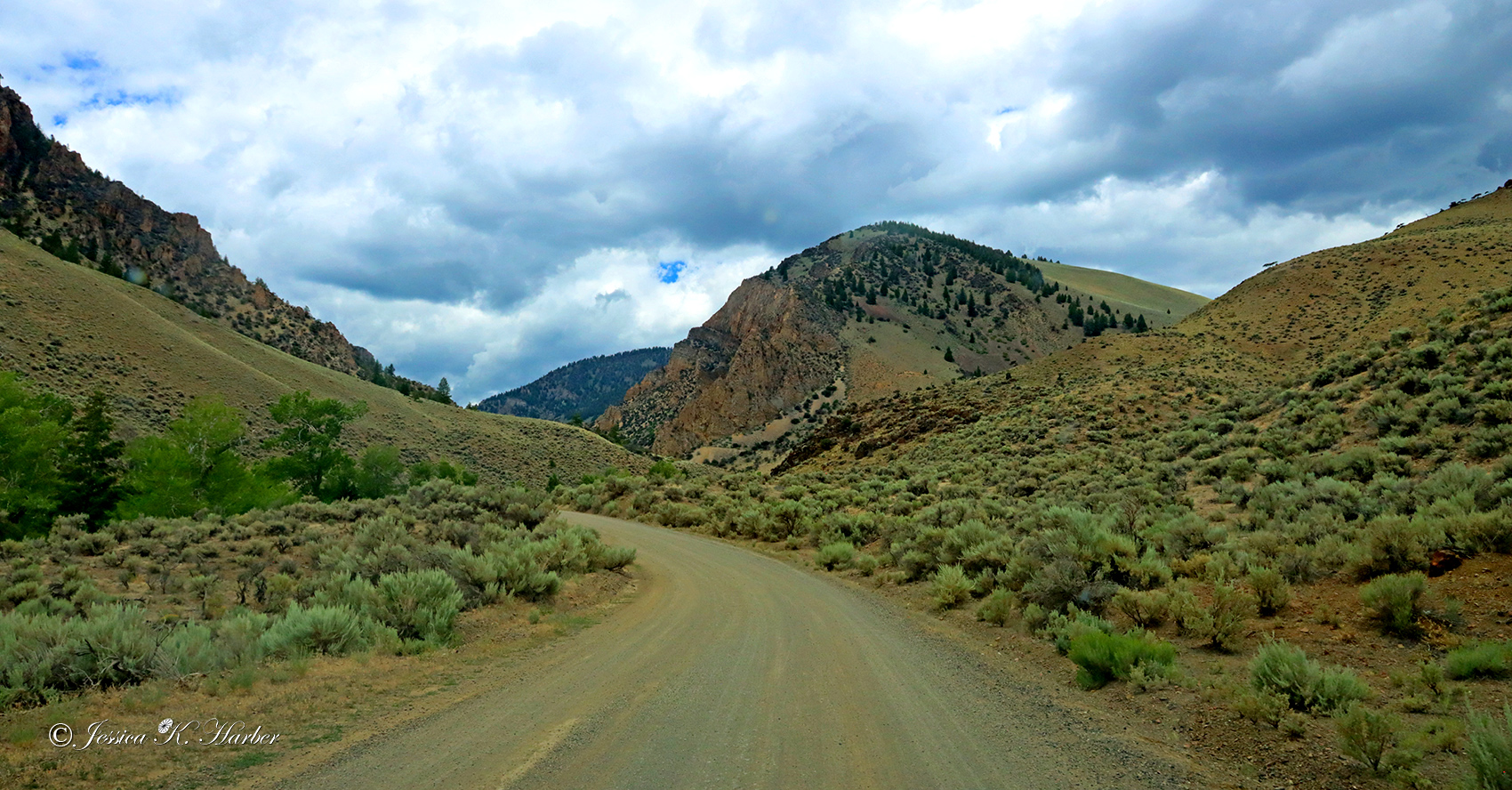
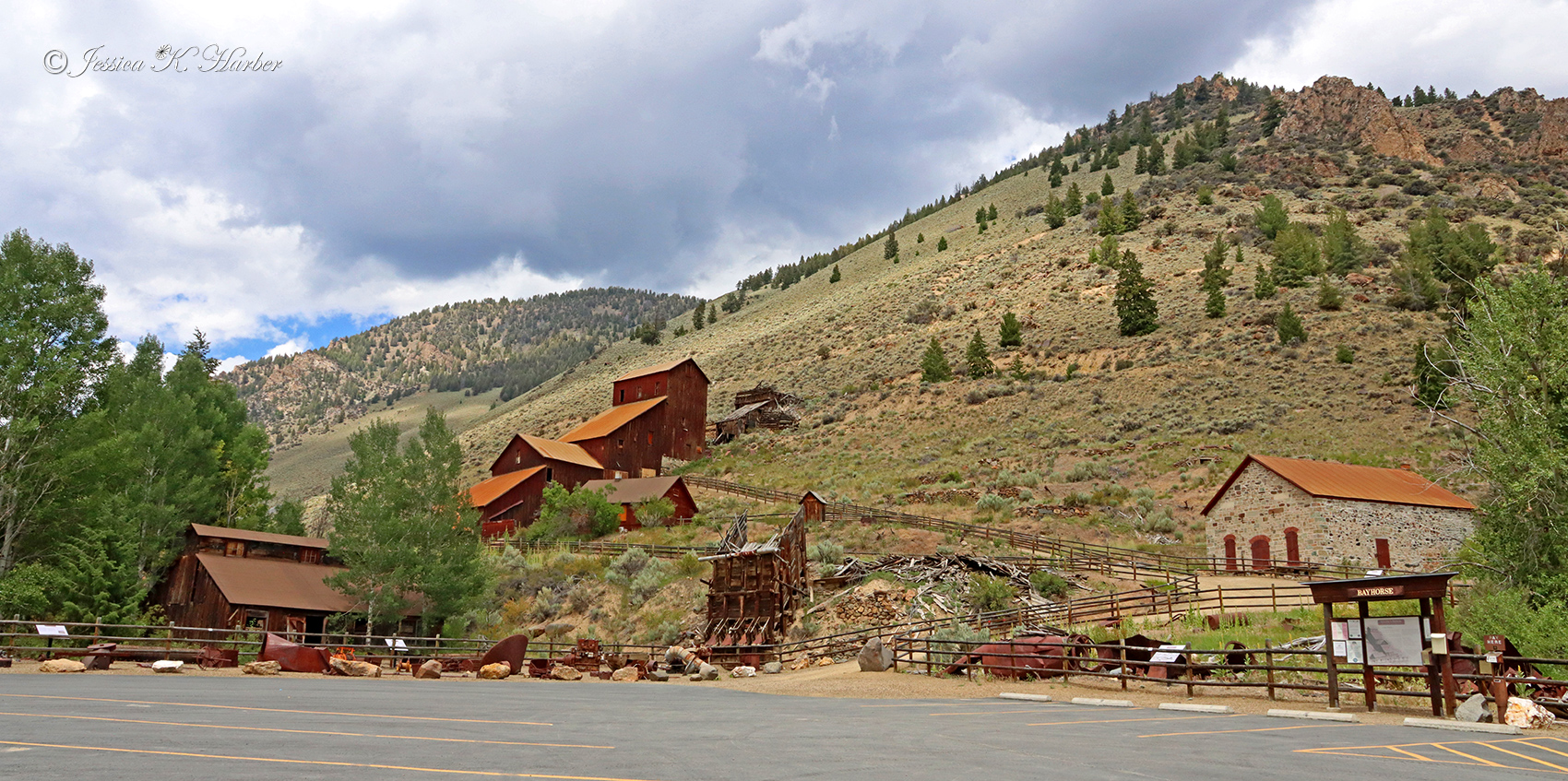
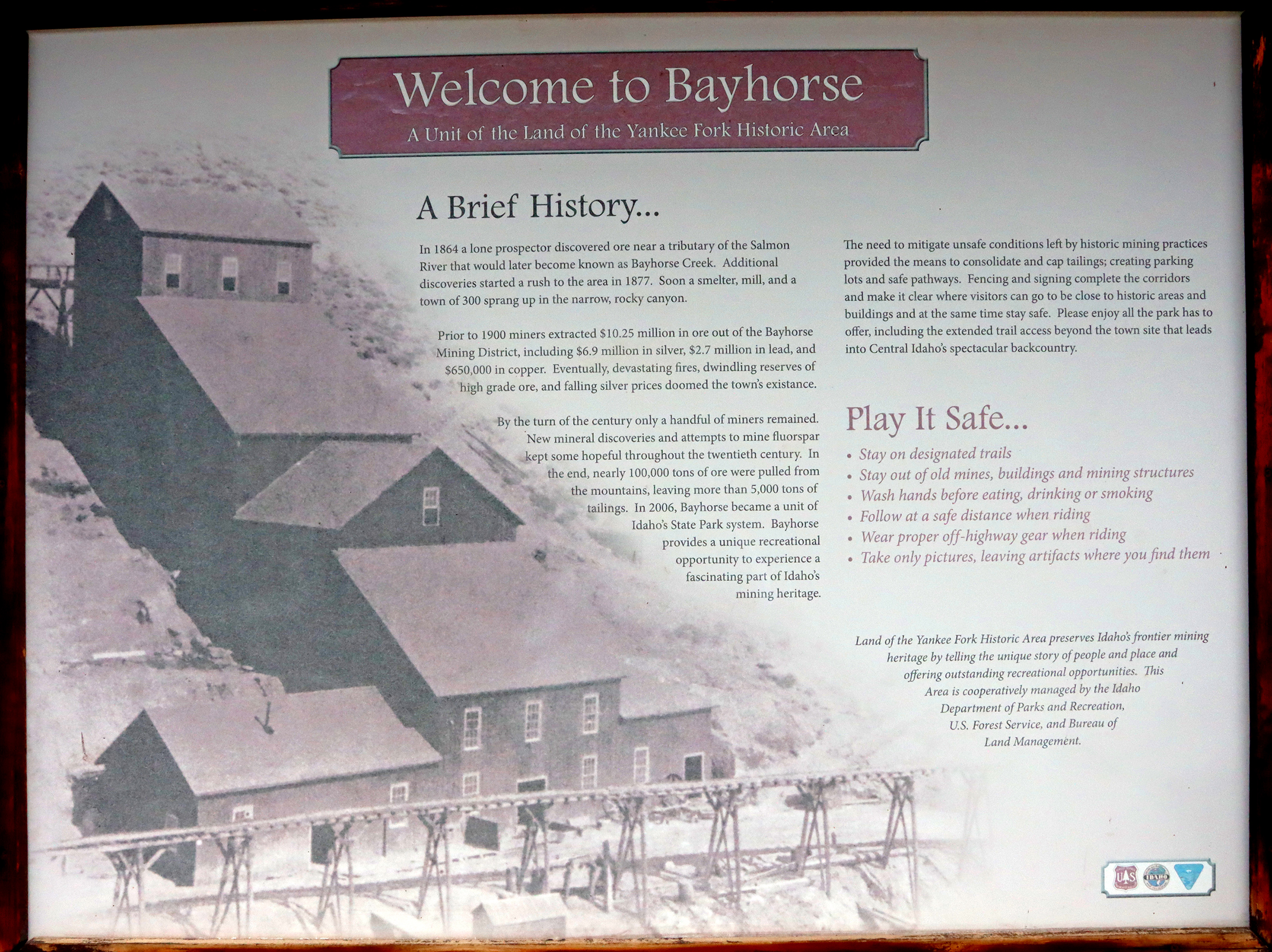
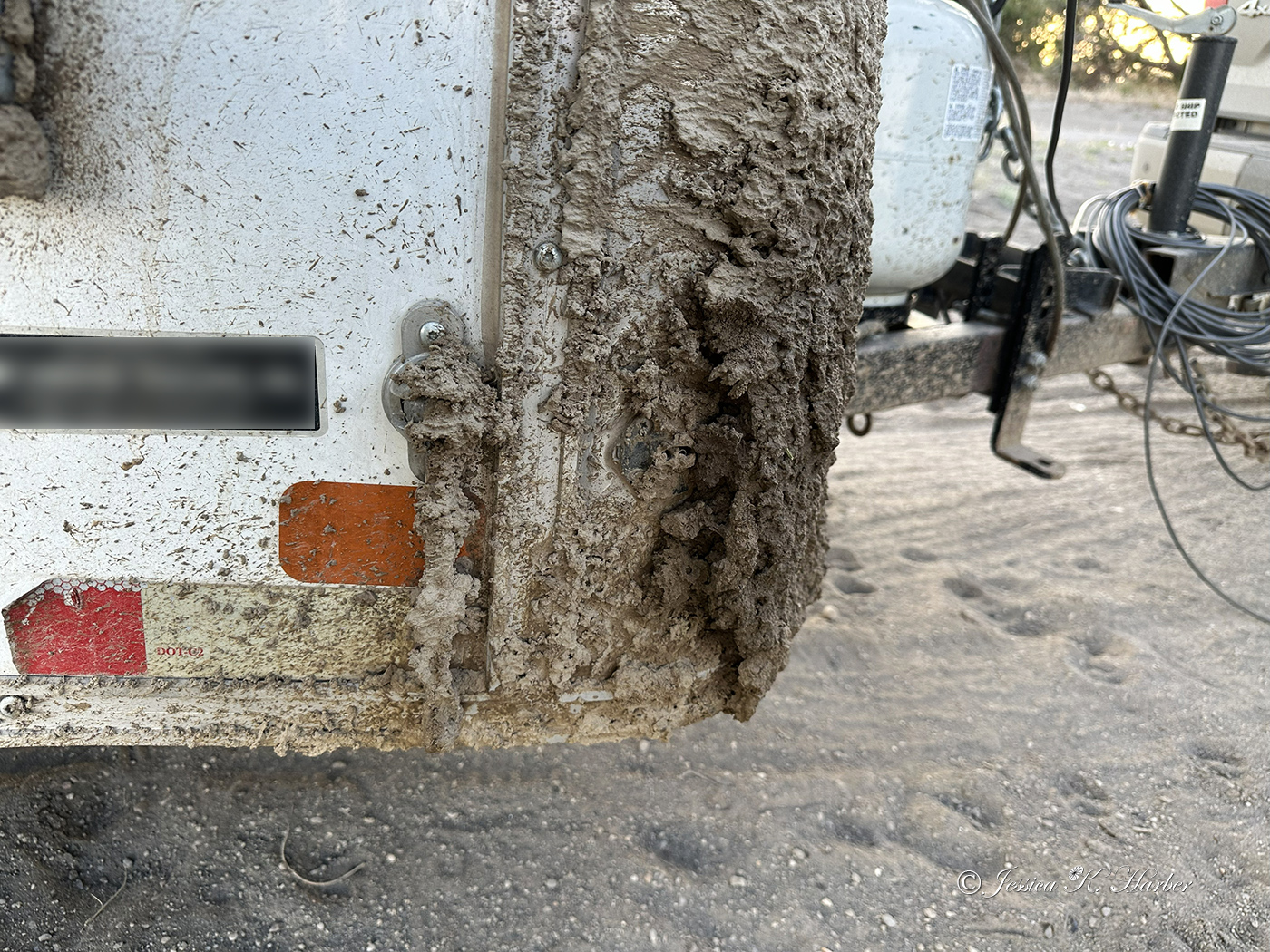
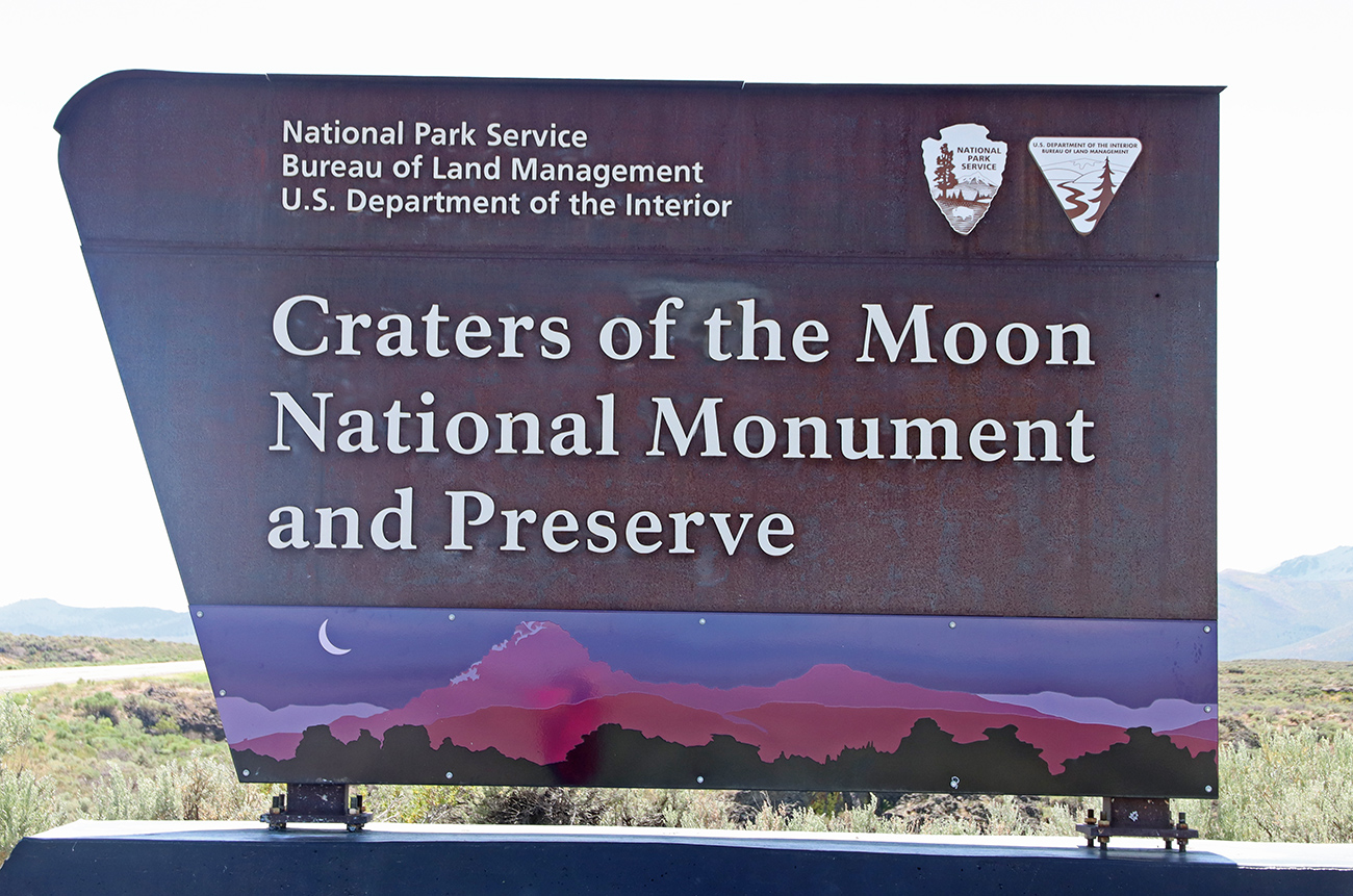
From City of Rocks, I headed toward Craters of the Moon National Monument & Preserve with one overnight stay along the way. While I was still at City of Rocks, it had begun raining and the roads throughout are dirt. Upon my arrival to the camping spot I chose on the way to Craters, I realized the full extent to which those conditions had affected my rig. It may be strange to mention this, but the mud created by the rain on the dirt roads seemed like it contained some kind of adhesive! The mud that coated many parts of my rig had hardened–and I couldn’t get it off. My cleaning brushes were ineffective. I drive on dirty, muddy roads all the time, but this was like something I had never seen. Since there was no way to clean it, I just had to leave it that way. Fortunately, an angel with a hose and cleaning supplies (plus my elbow grease) came to my rescue several days later.
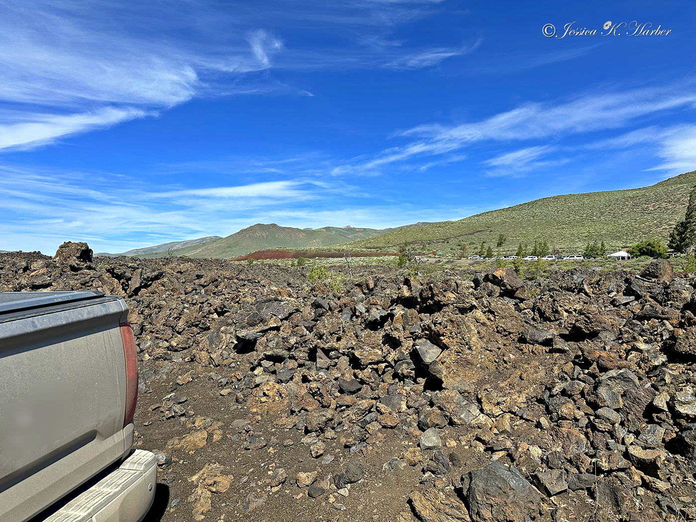
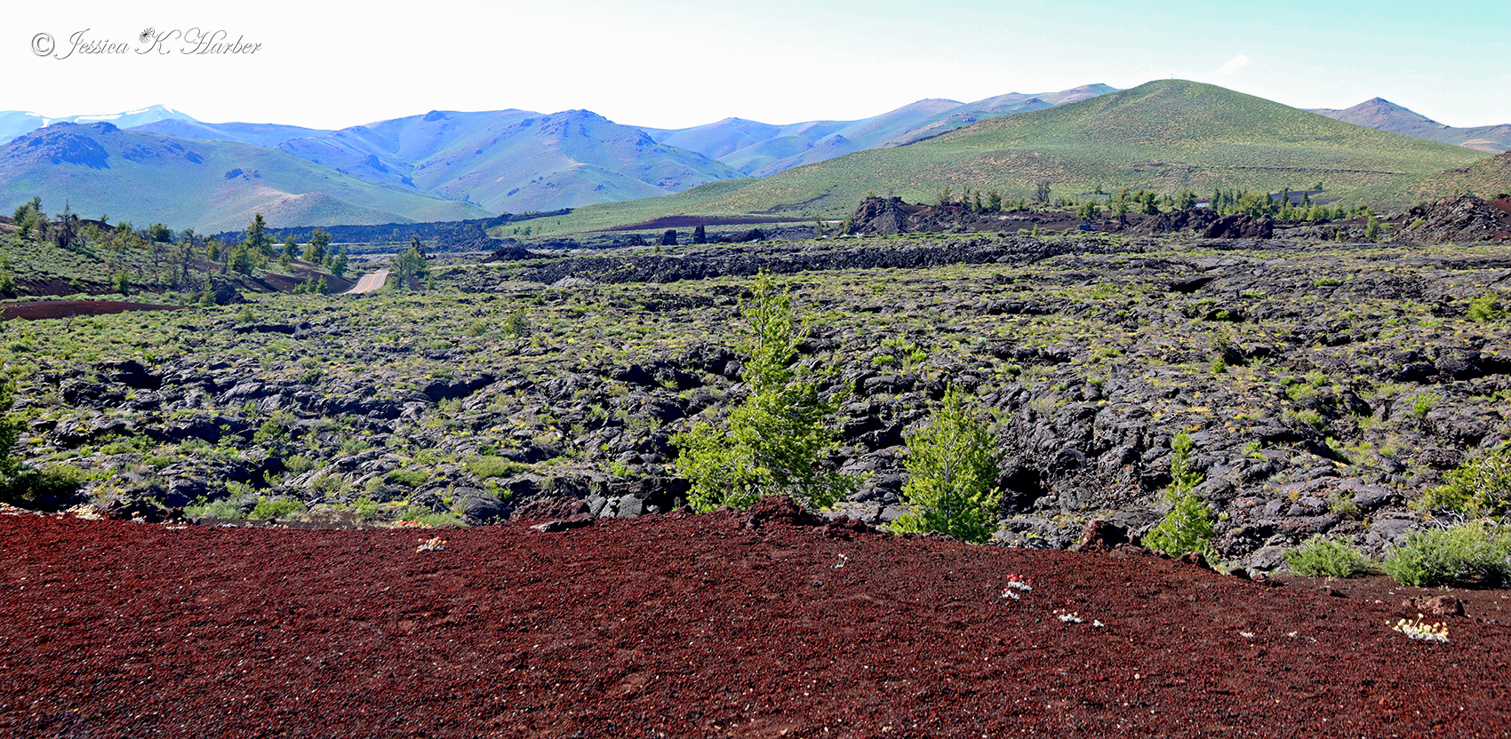
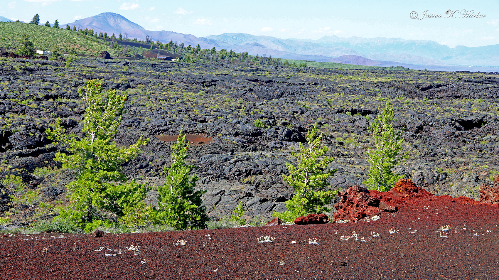
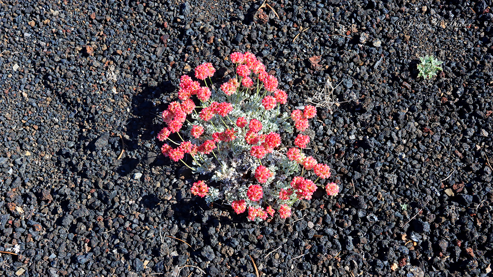
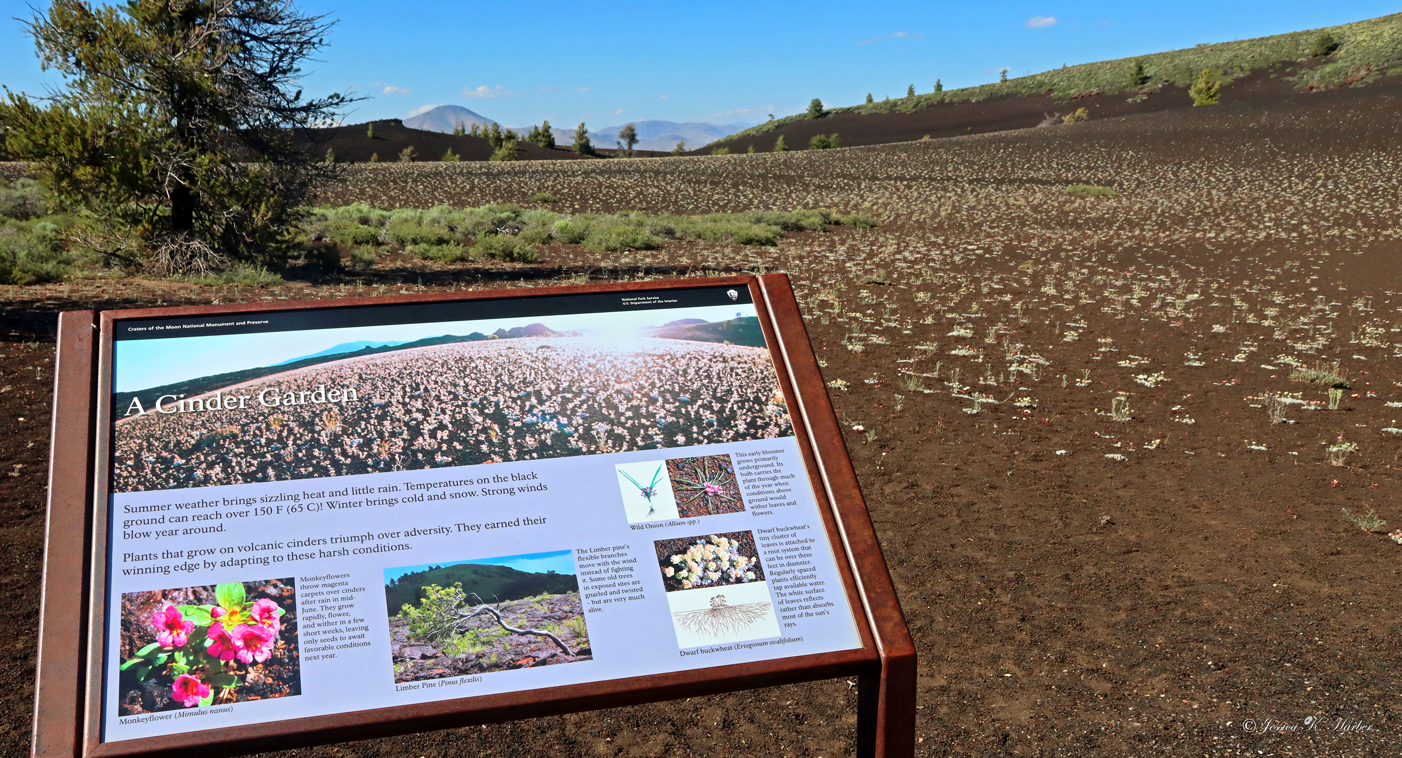
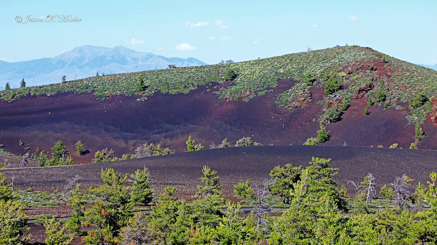
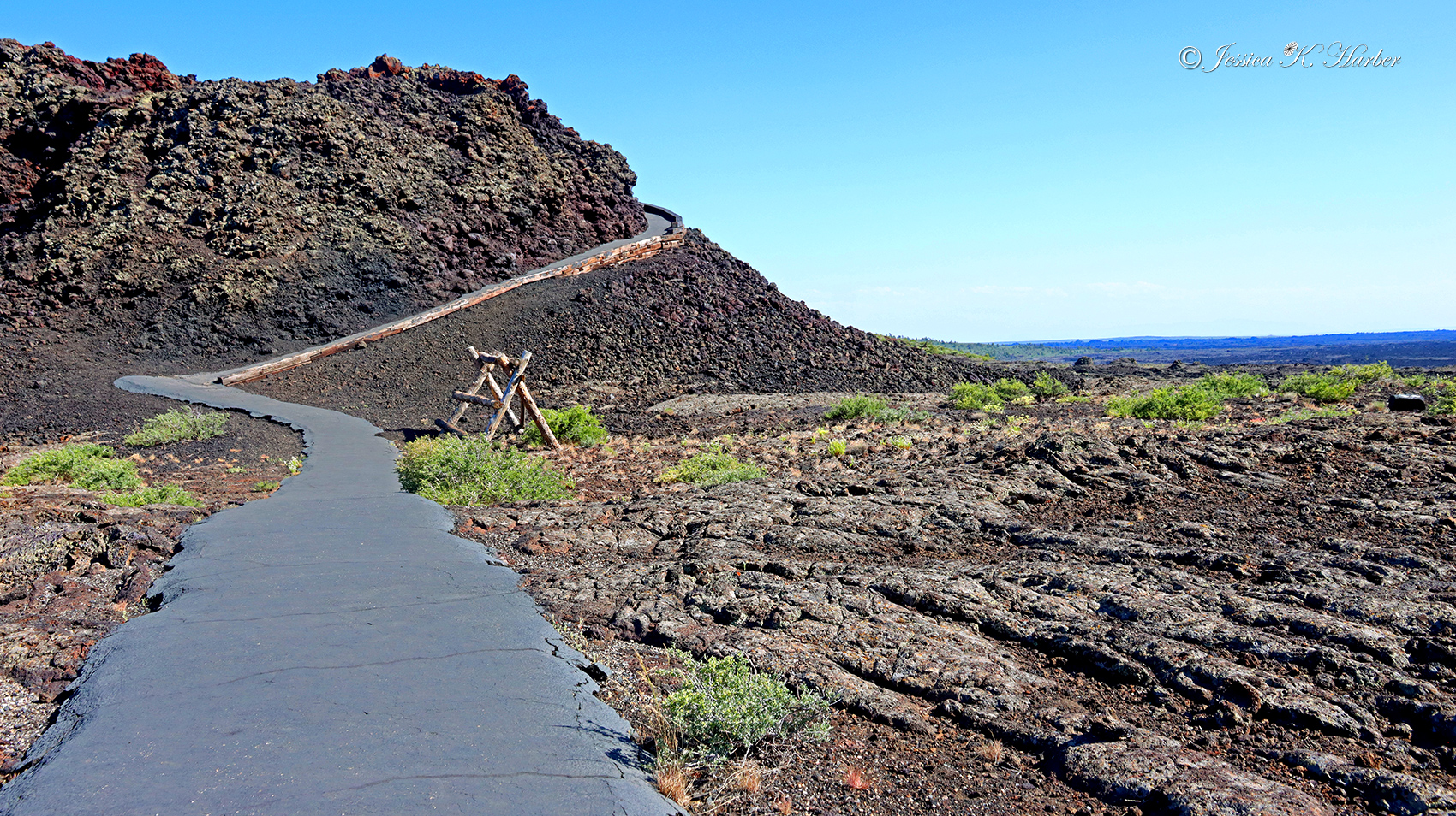
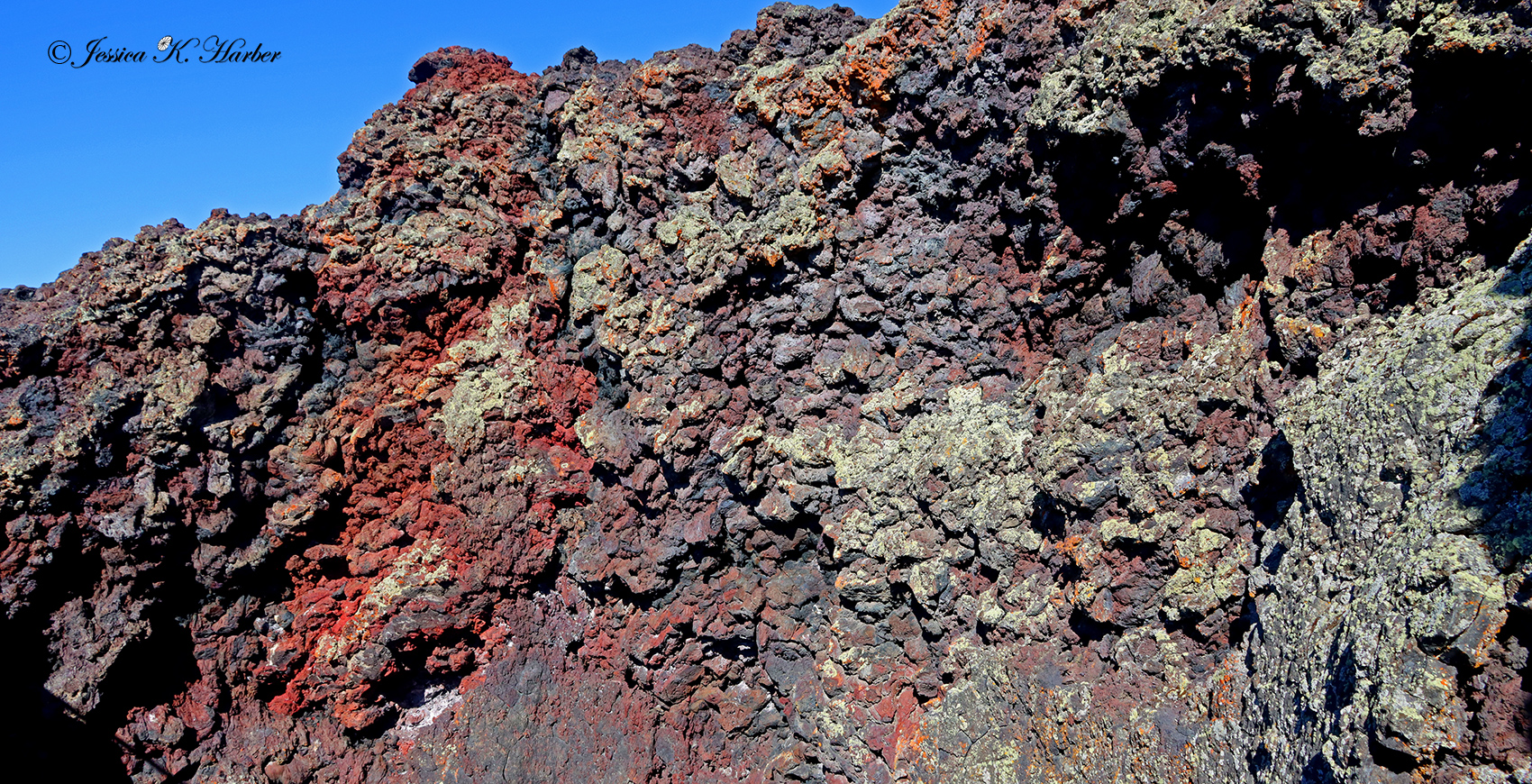
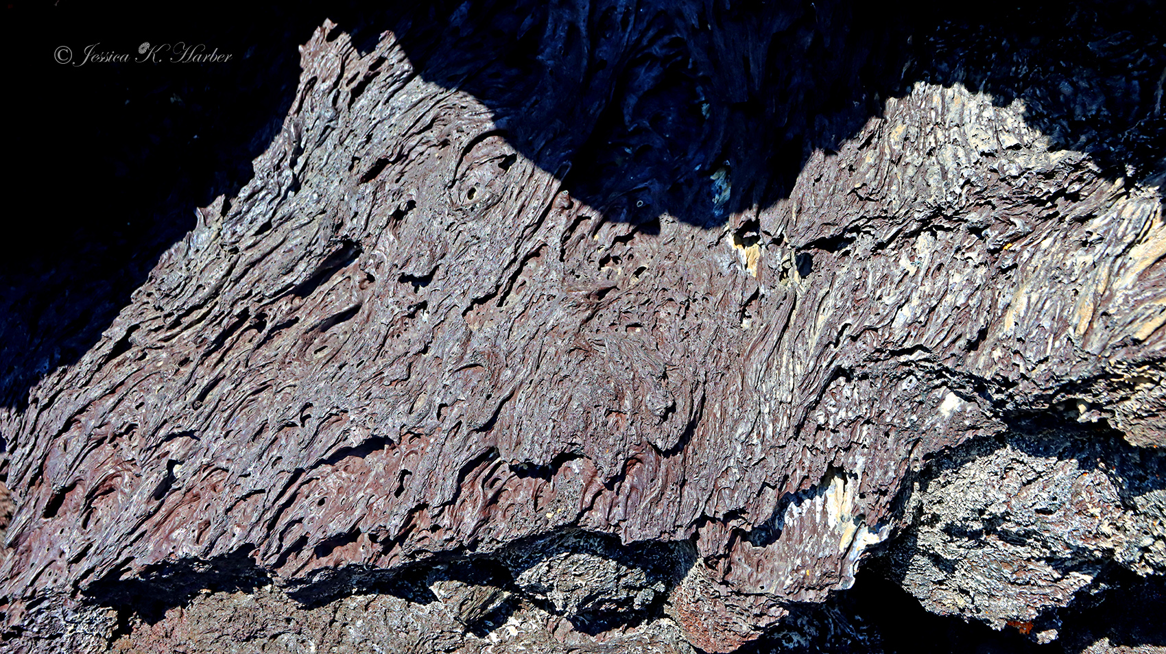
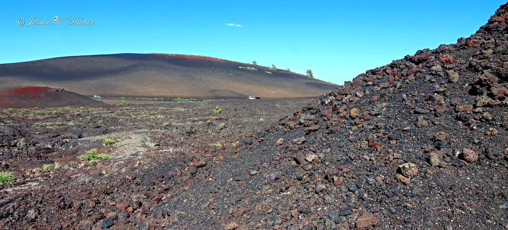
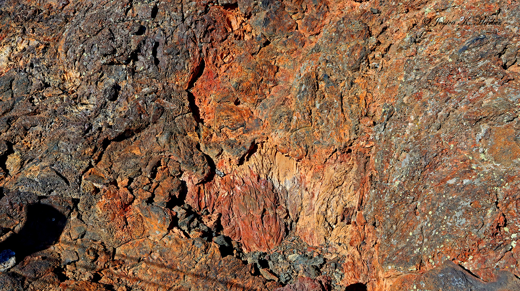
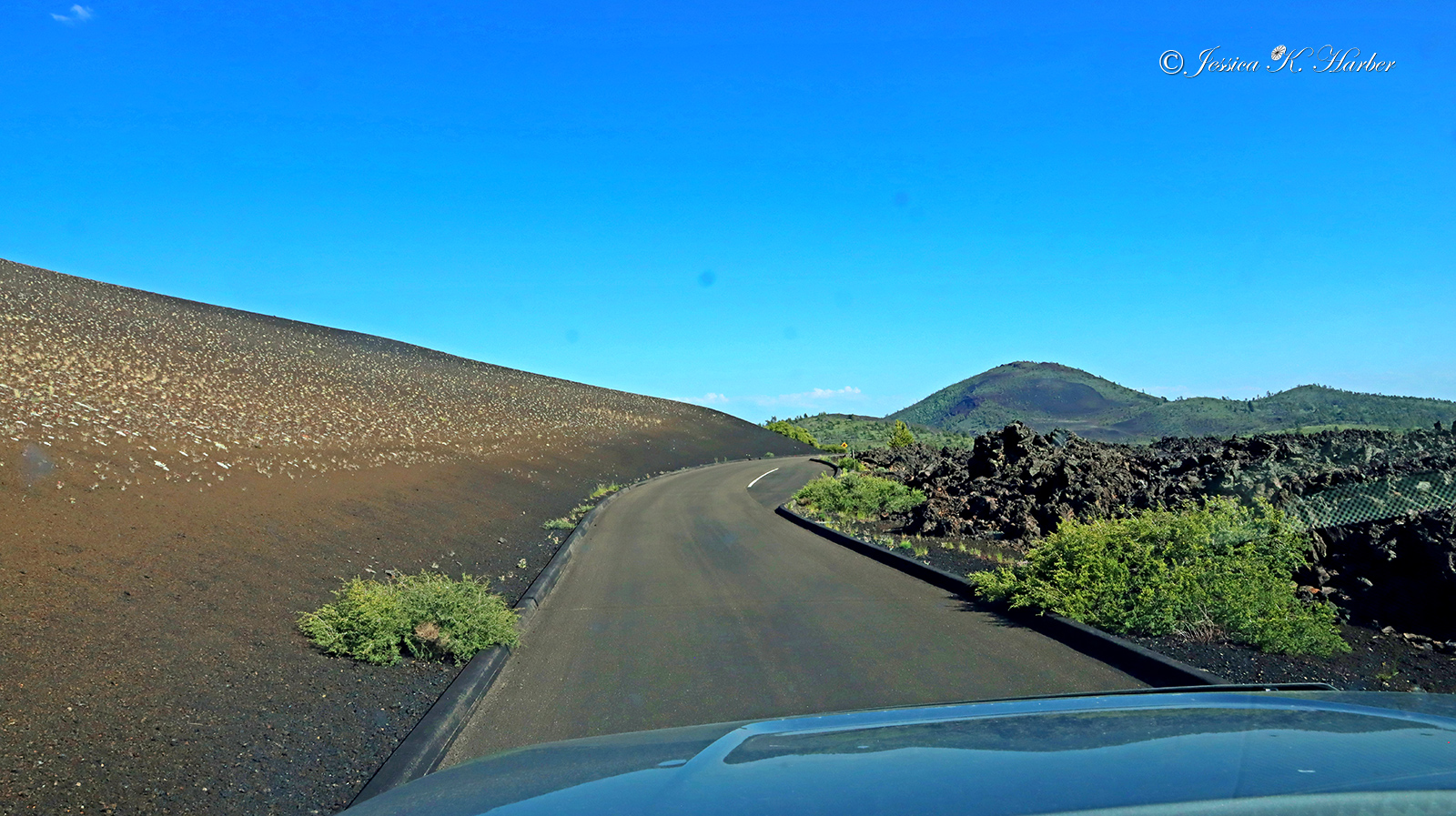
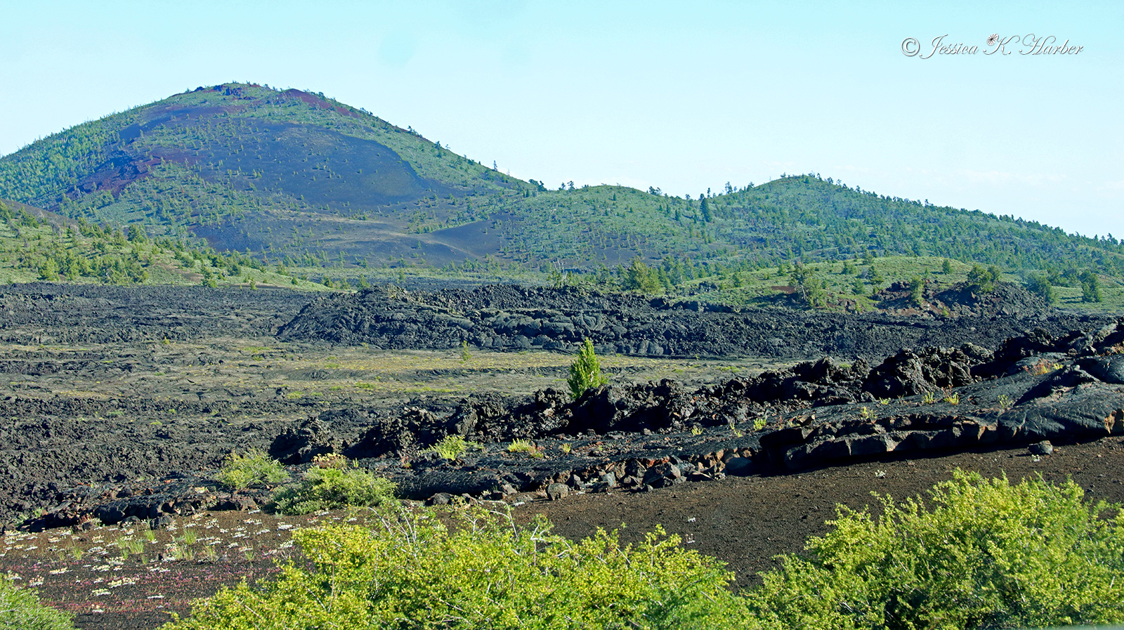
Craters of the Moon was a unique place. It’s so strange that this landscape is where it is. ‘Certainly does seem like another celestial location. As usual, no dogs are allowed on the paths, so I mostly drove around seeing as much as I could see with a couple short walks here and there.
This was one of the situations where finding public lands to camp was not practical, so I grabbed one of the last spots in the Preserve’s campground. This was also an unusual experience as it was located on volcanic rock.
CotM is an interesting place and certainly worth a visit if only for its uniqueness.
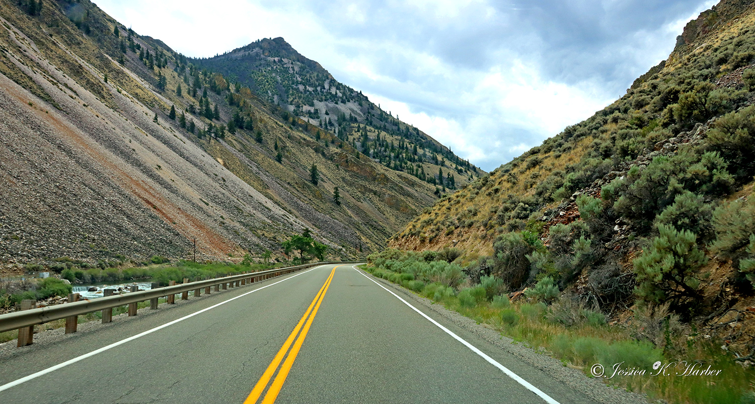
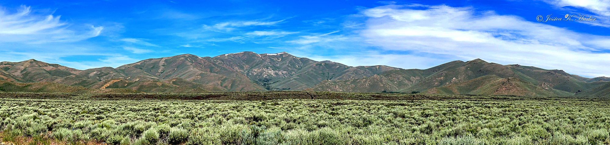
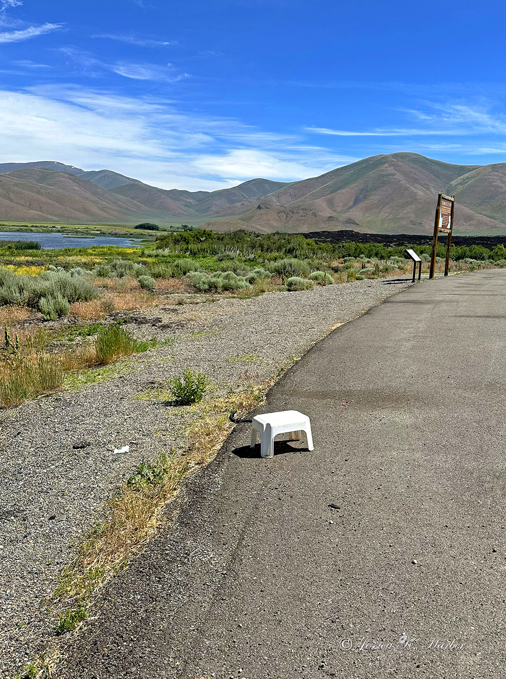
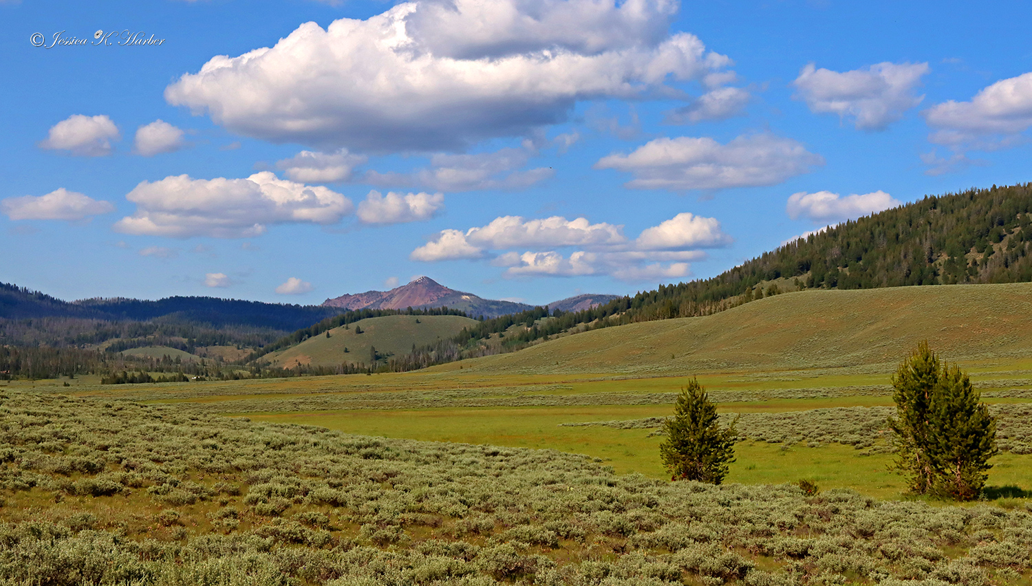
IDAHO. JUNE.

The temperatures were getting high, so I started heading north. Using the apps, I found some nice campsites with beautiful views.
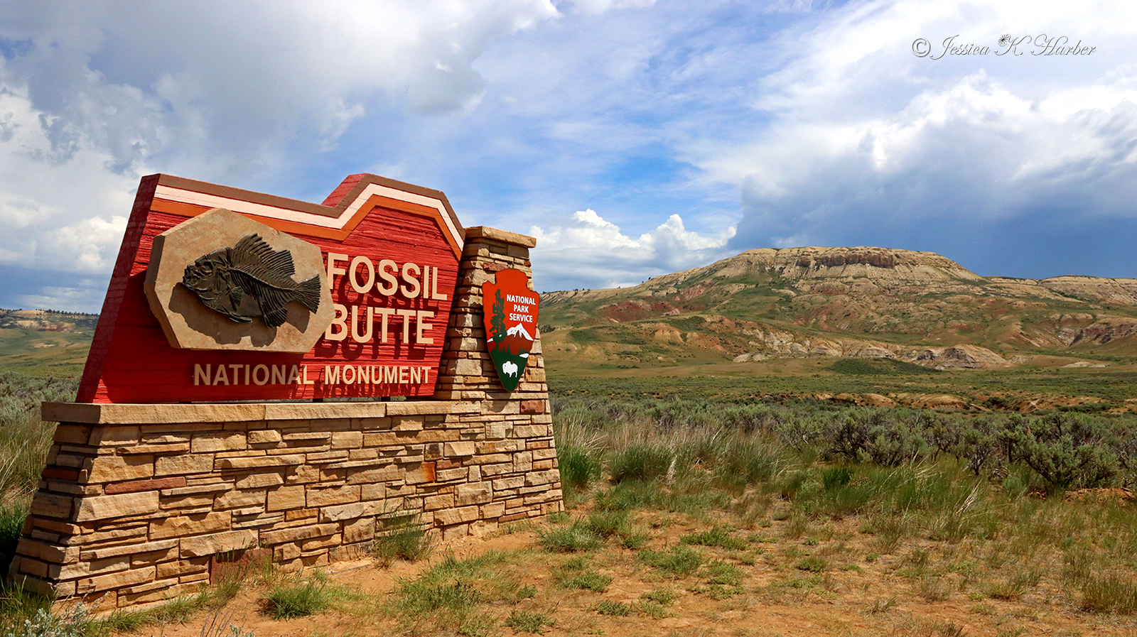
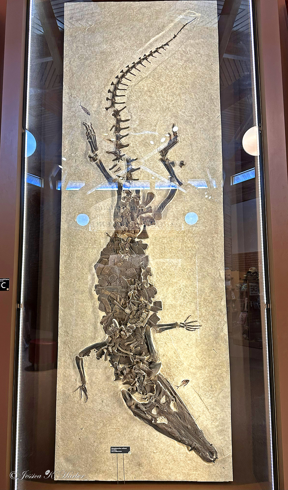
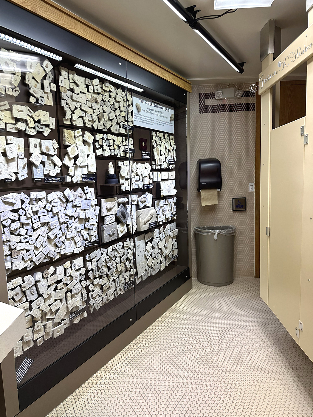
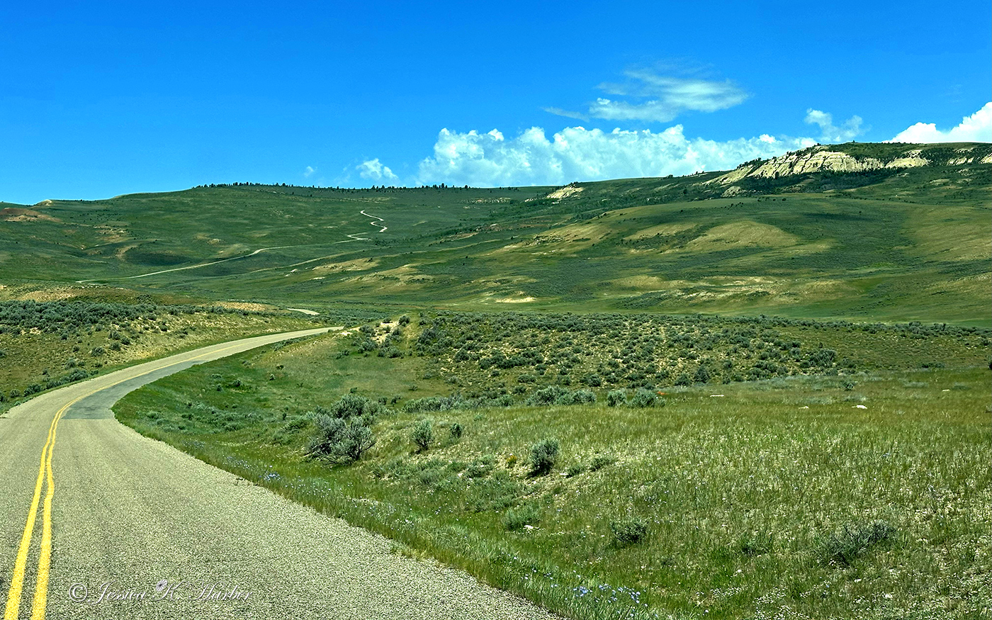
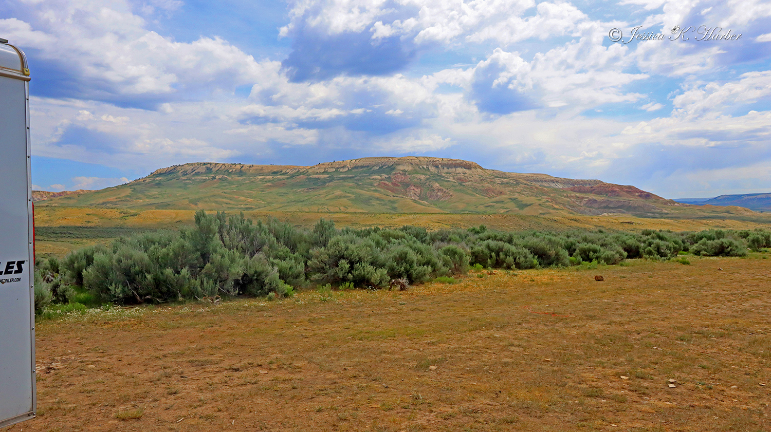
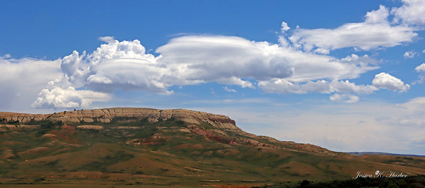
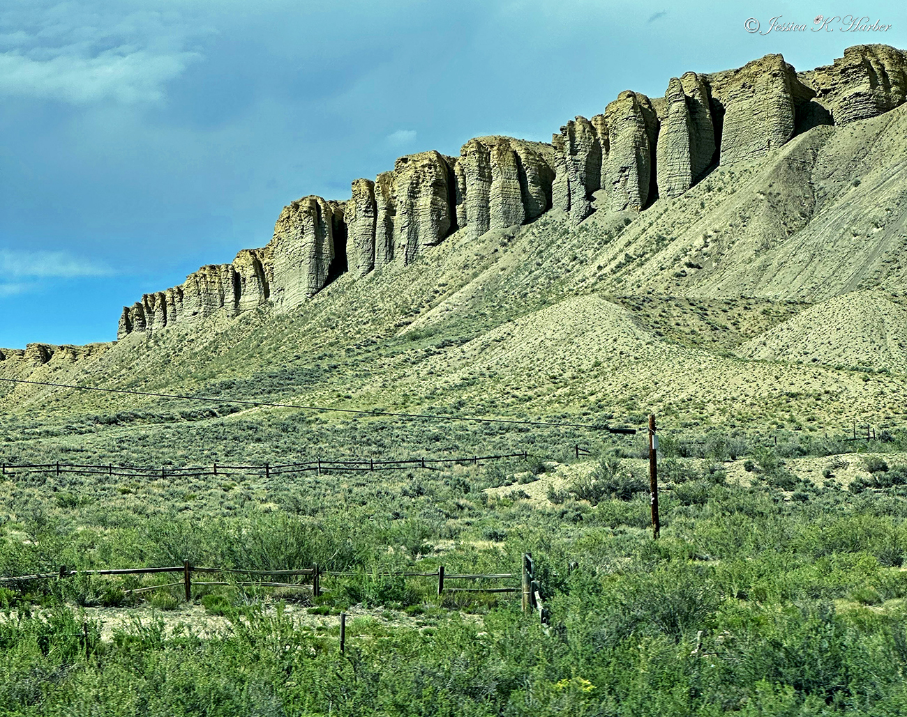
Also visited Fossil Butte National Monument. Found a good camping spot just outside it but the National Monument was so-so for me. The visitor center was well done but not much else to see.
As usual, I recommend clicking the first photo for a slideshow of larger photos (and captions).
I’ve also included a video below the gallery.
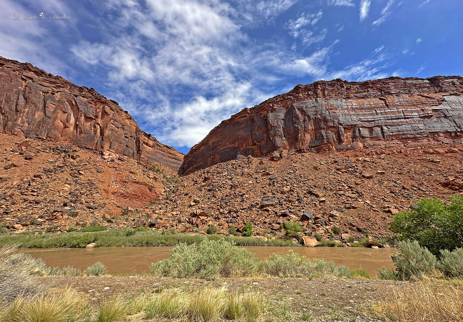
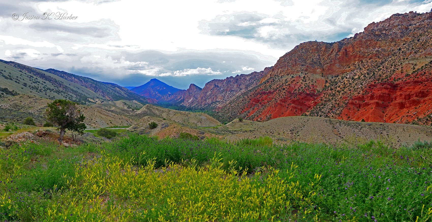
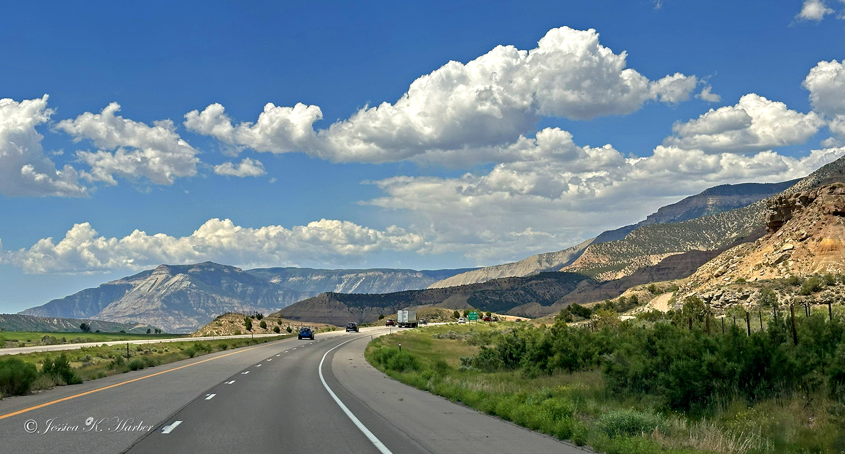
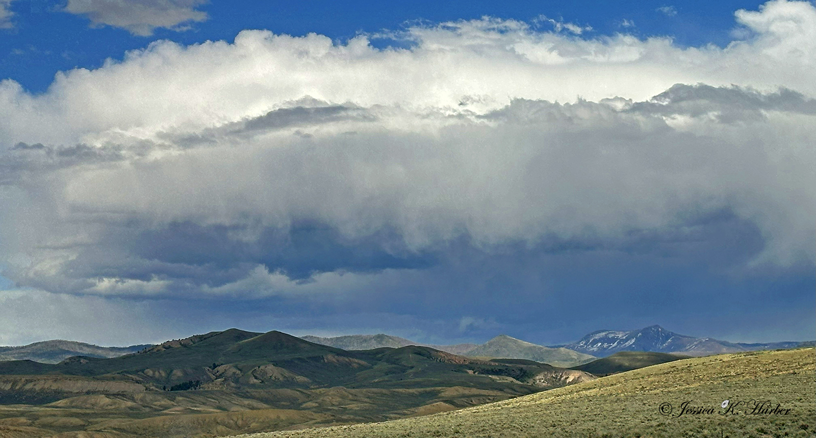
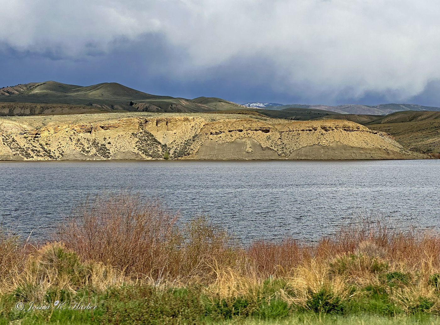
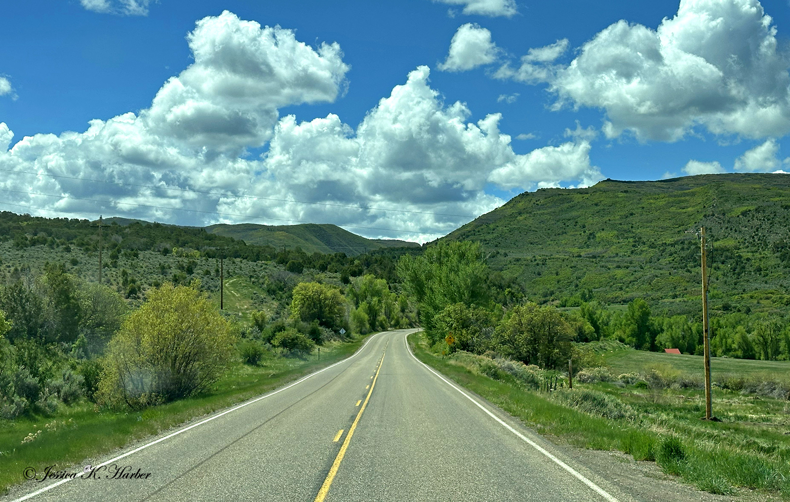
UTAH/WYOMING. JUNE.

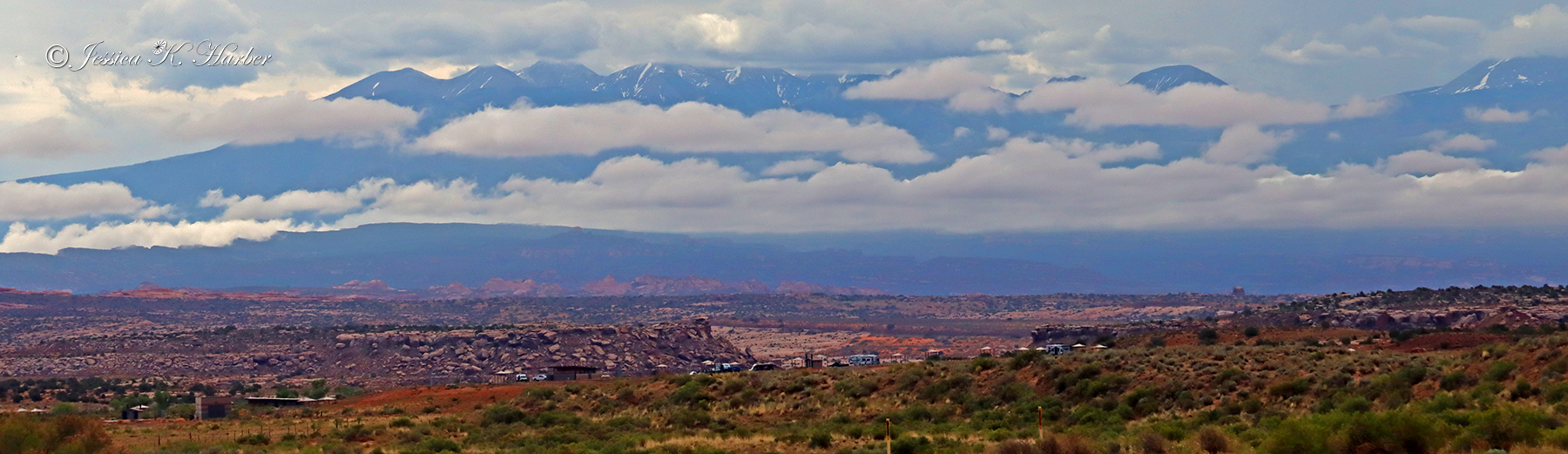
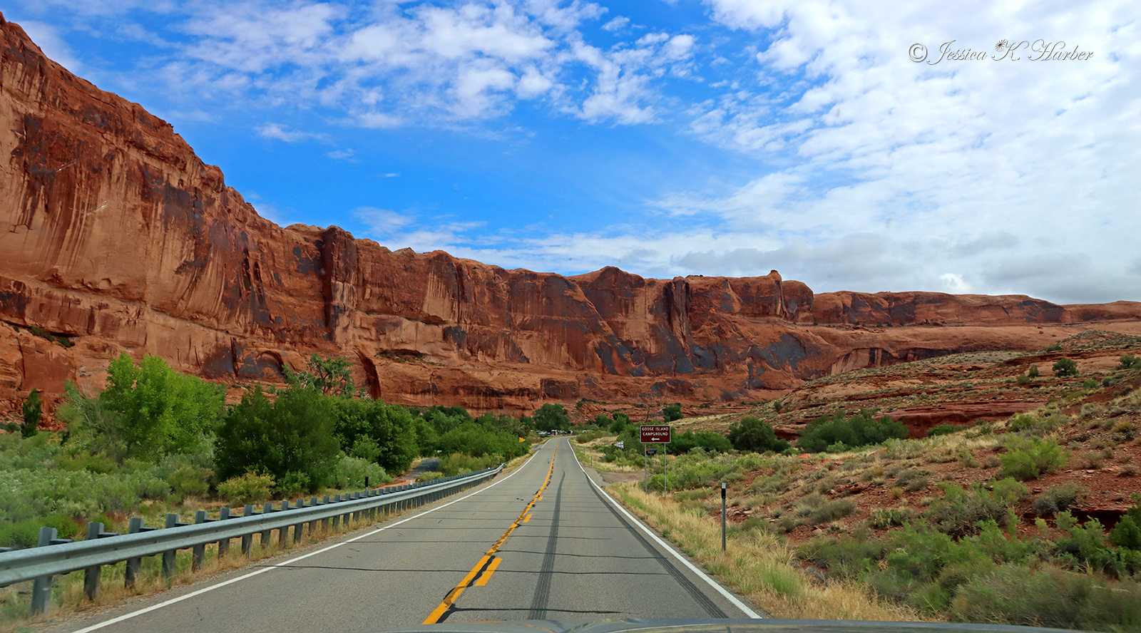
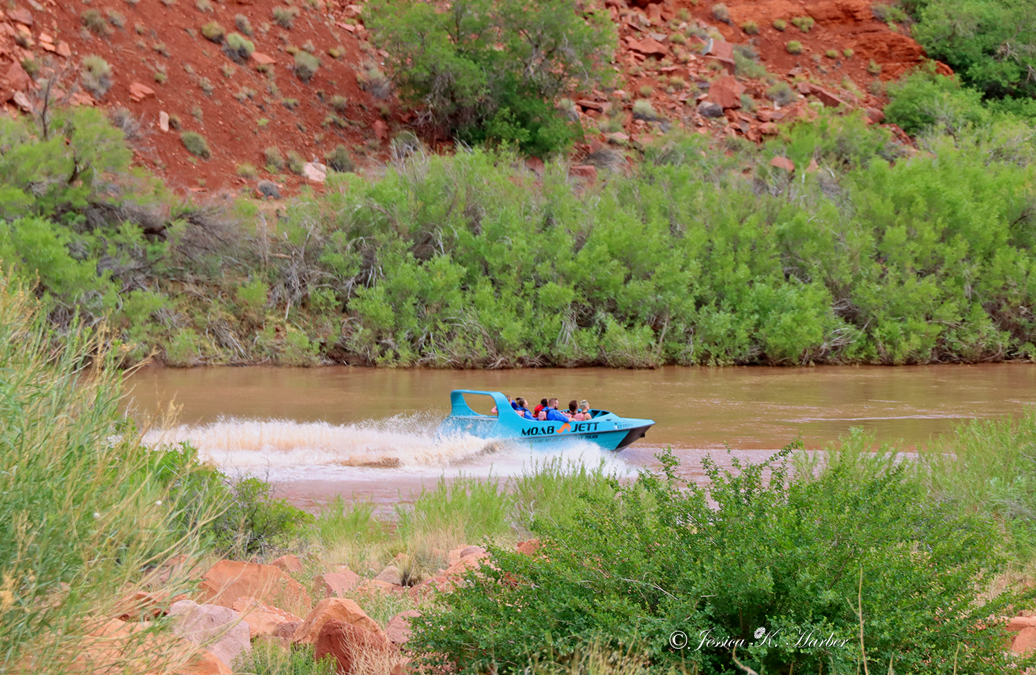
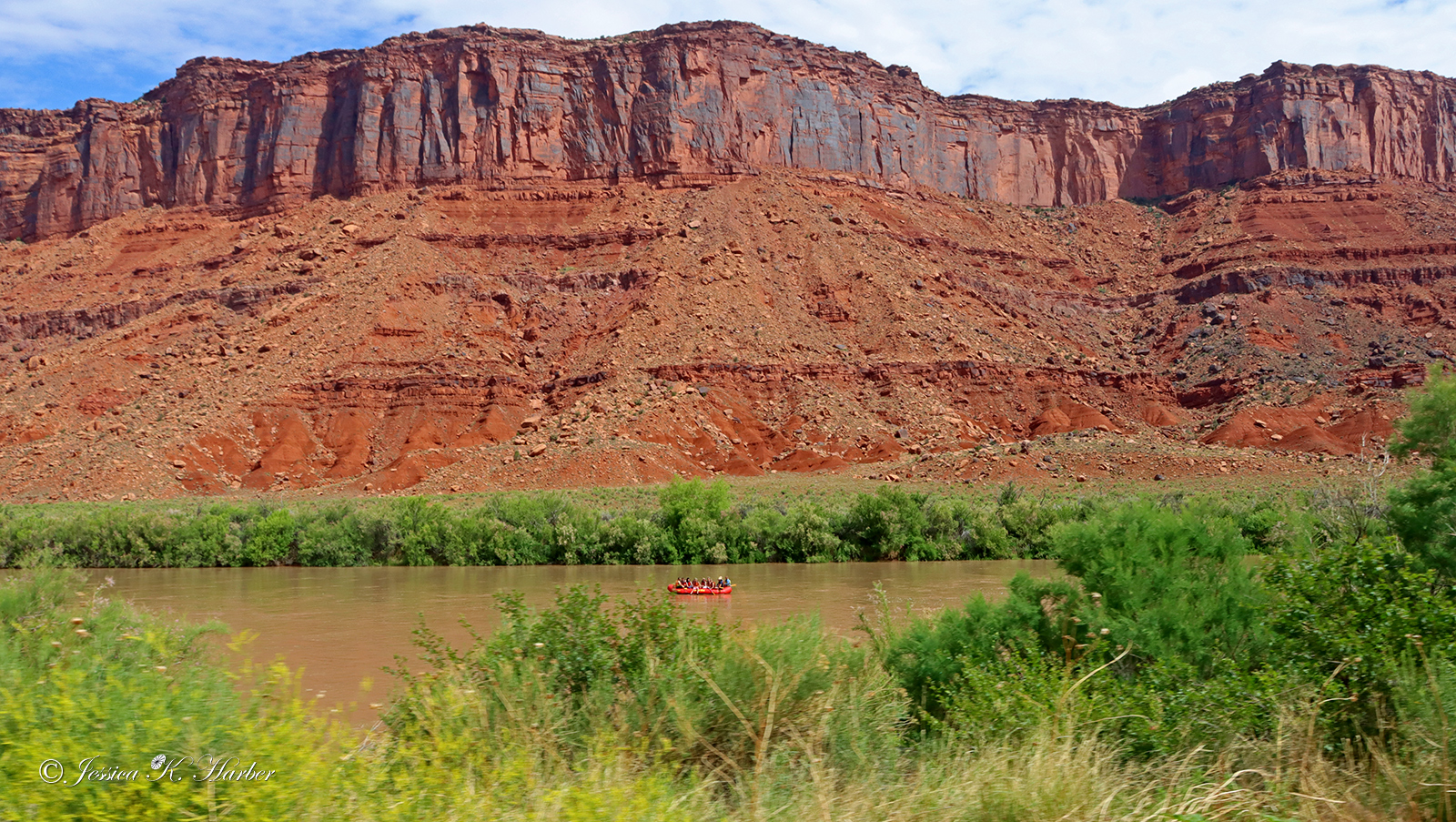
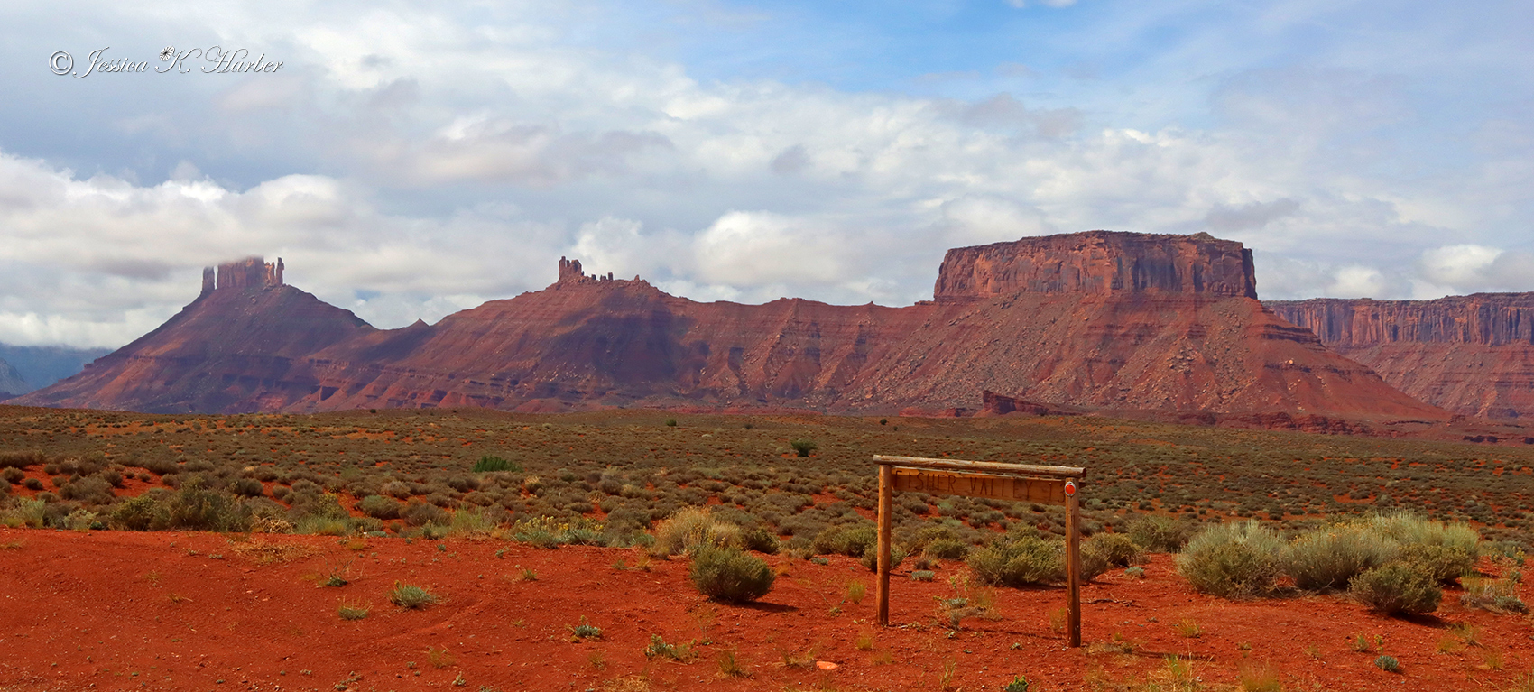
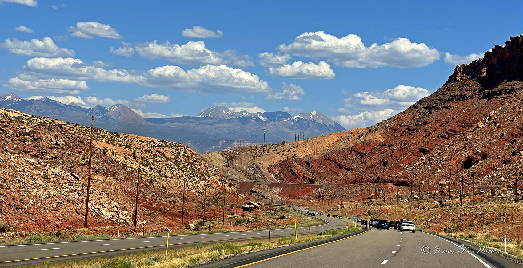
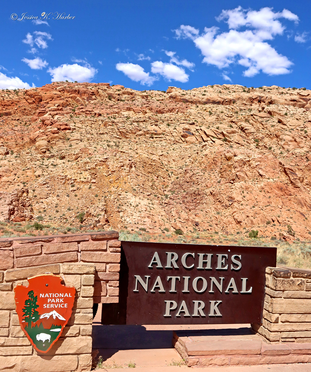
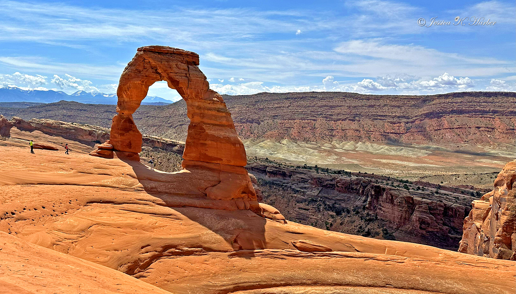
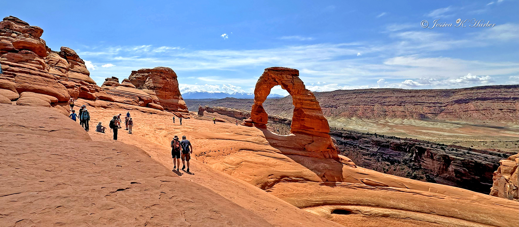
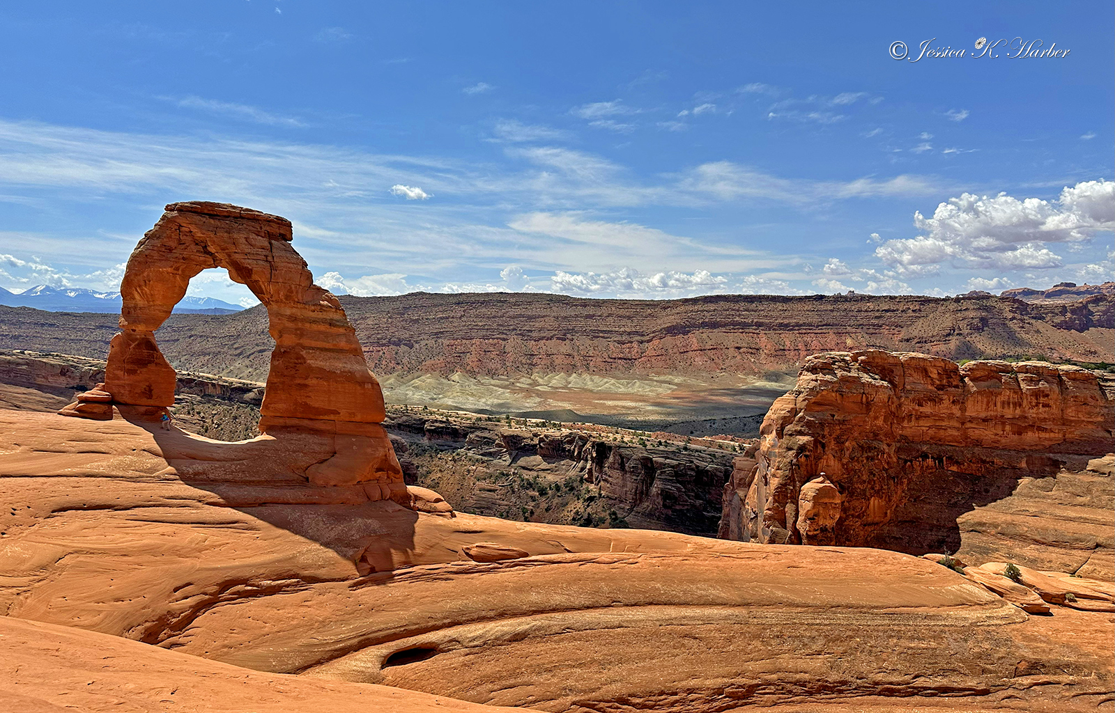
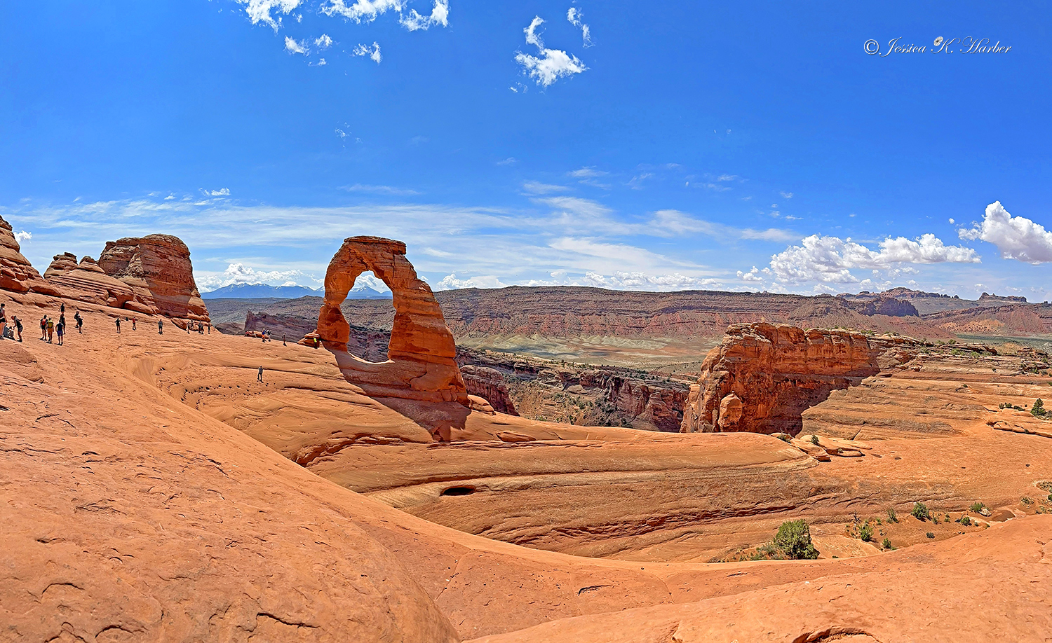
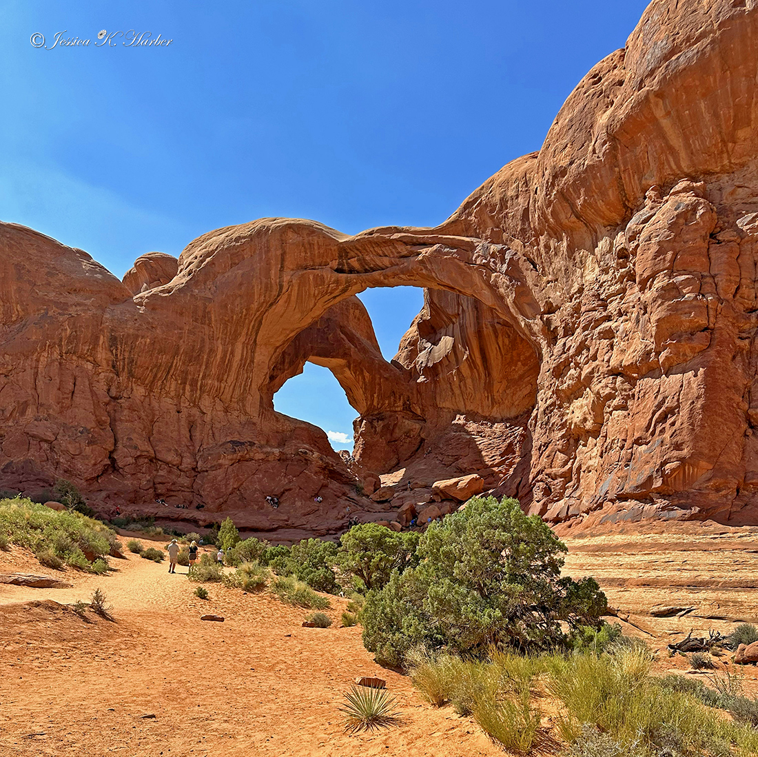
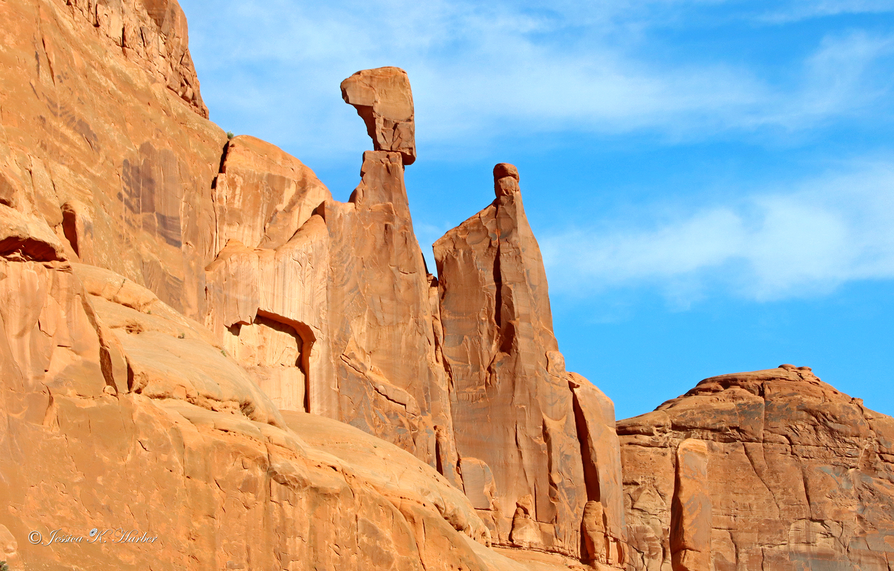
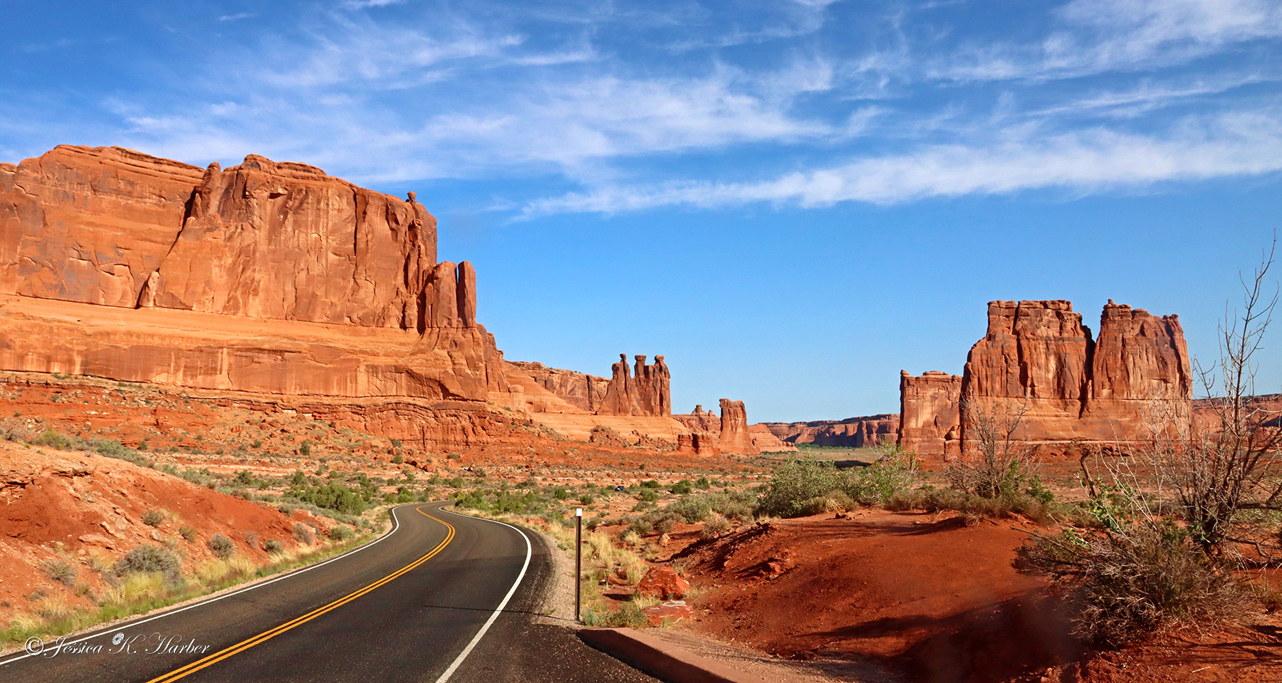
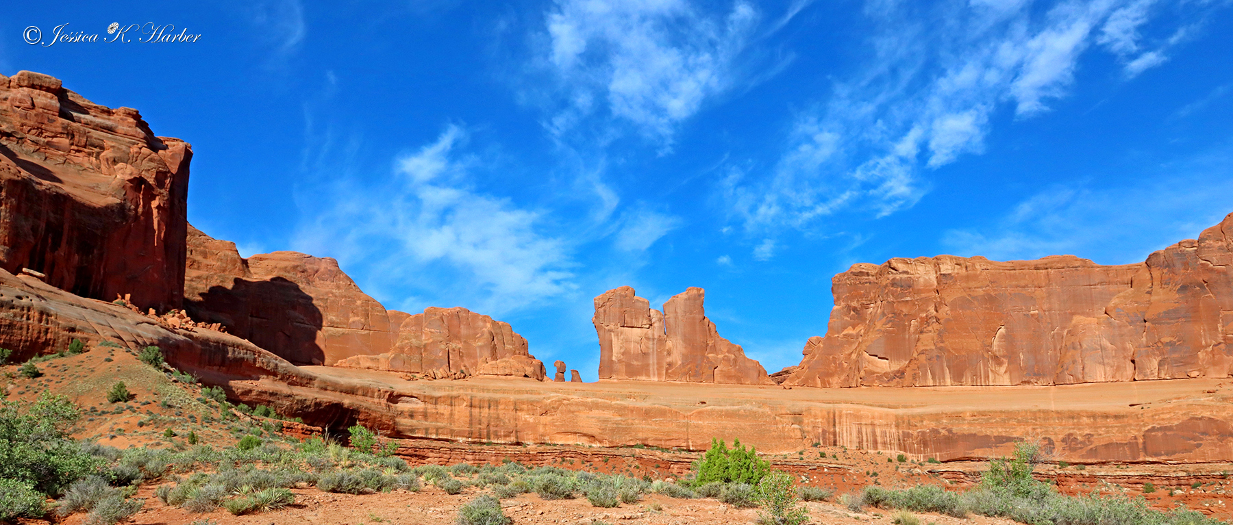
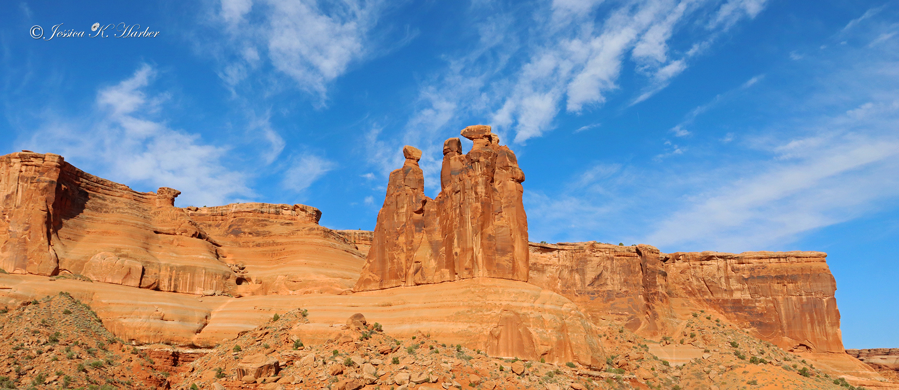
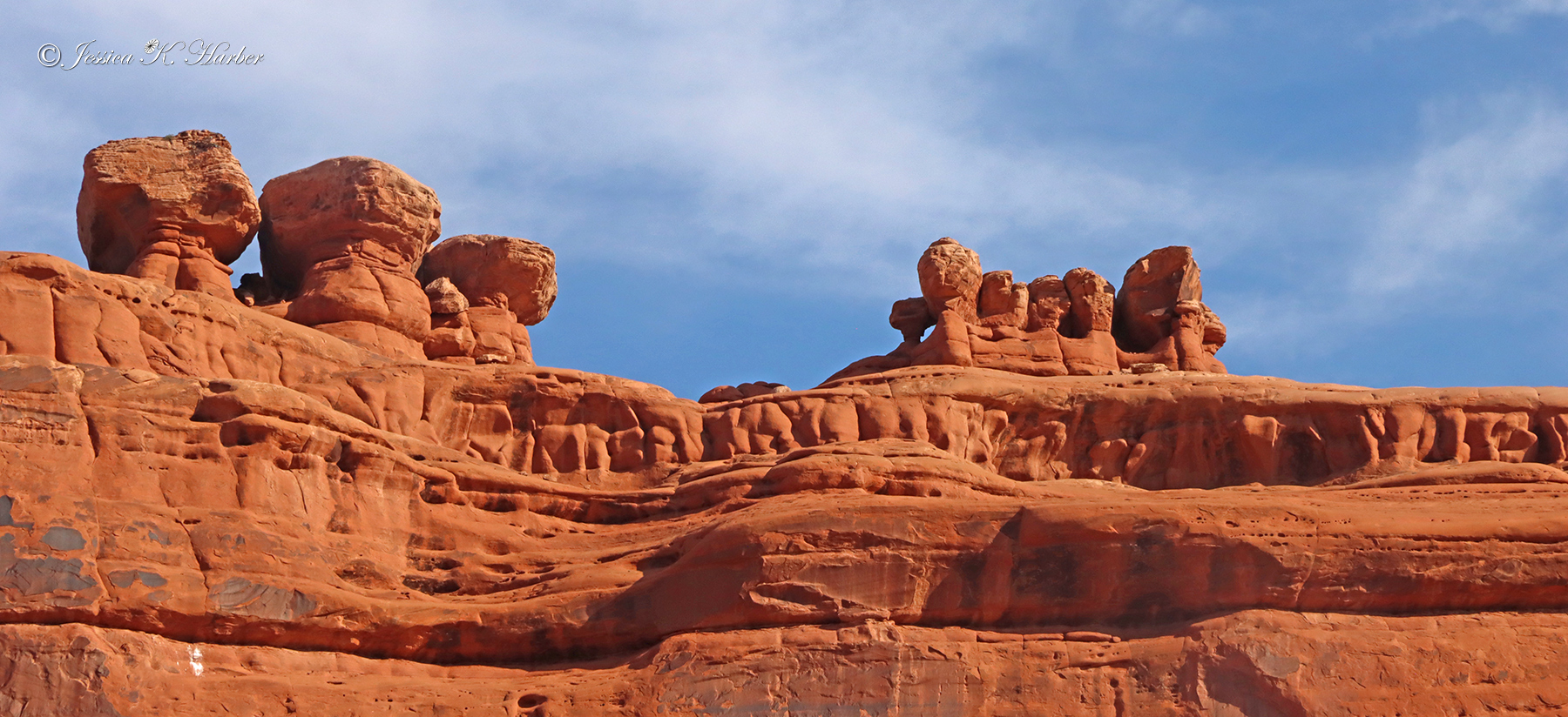
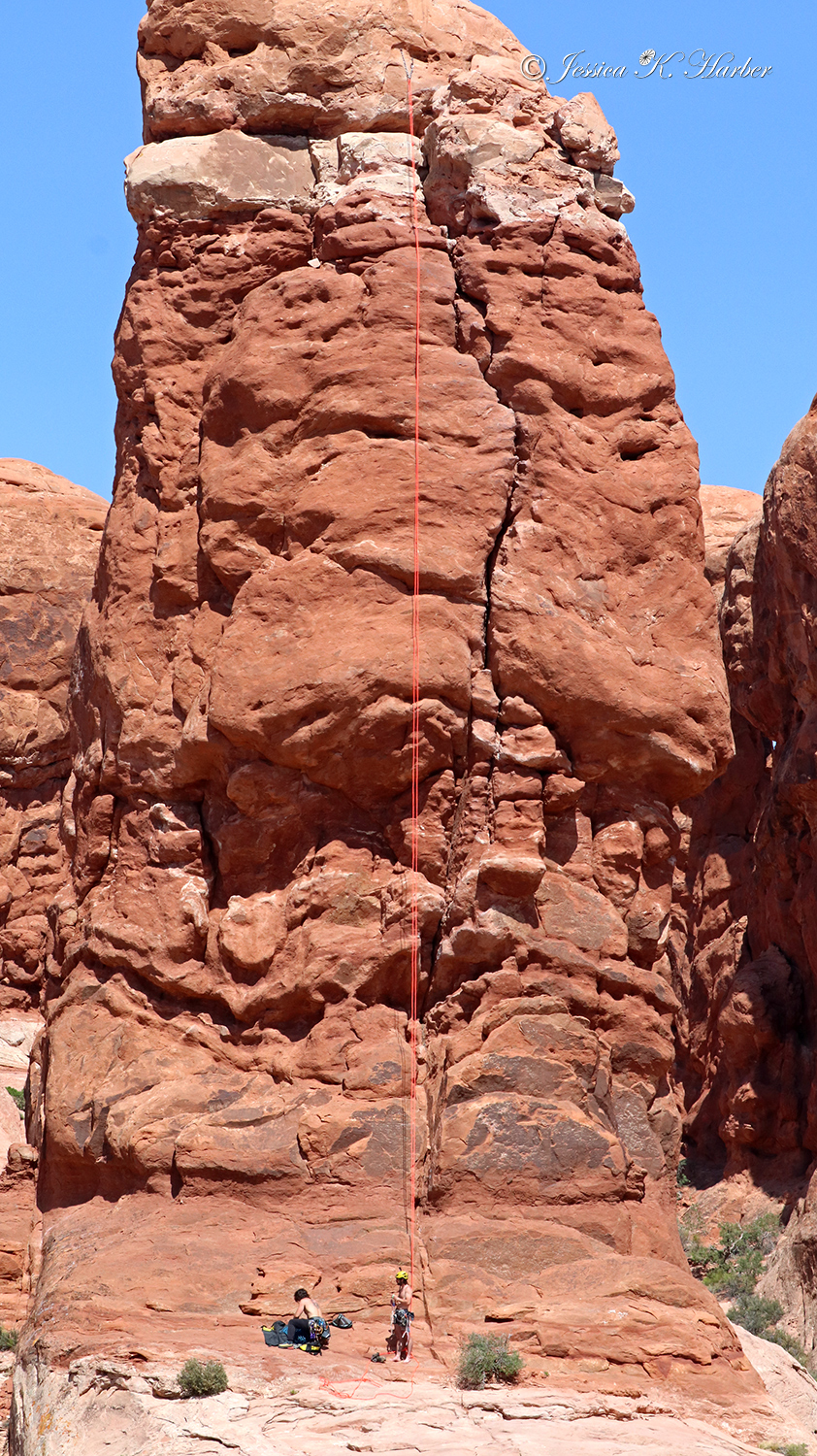
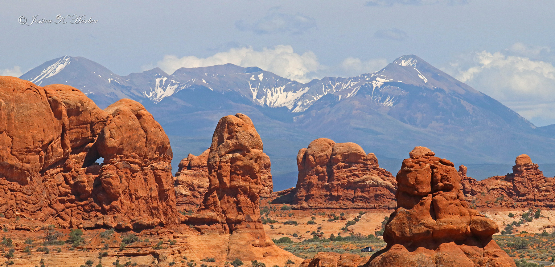
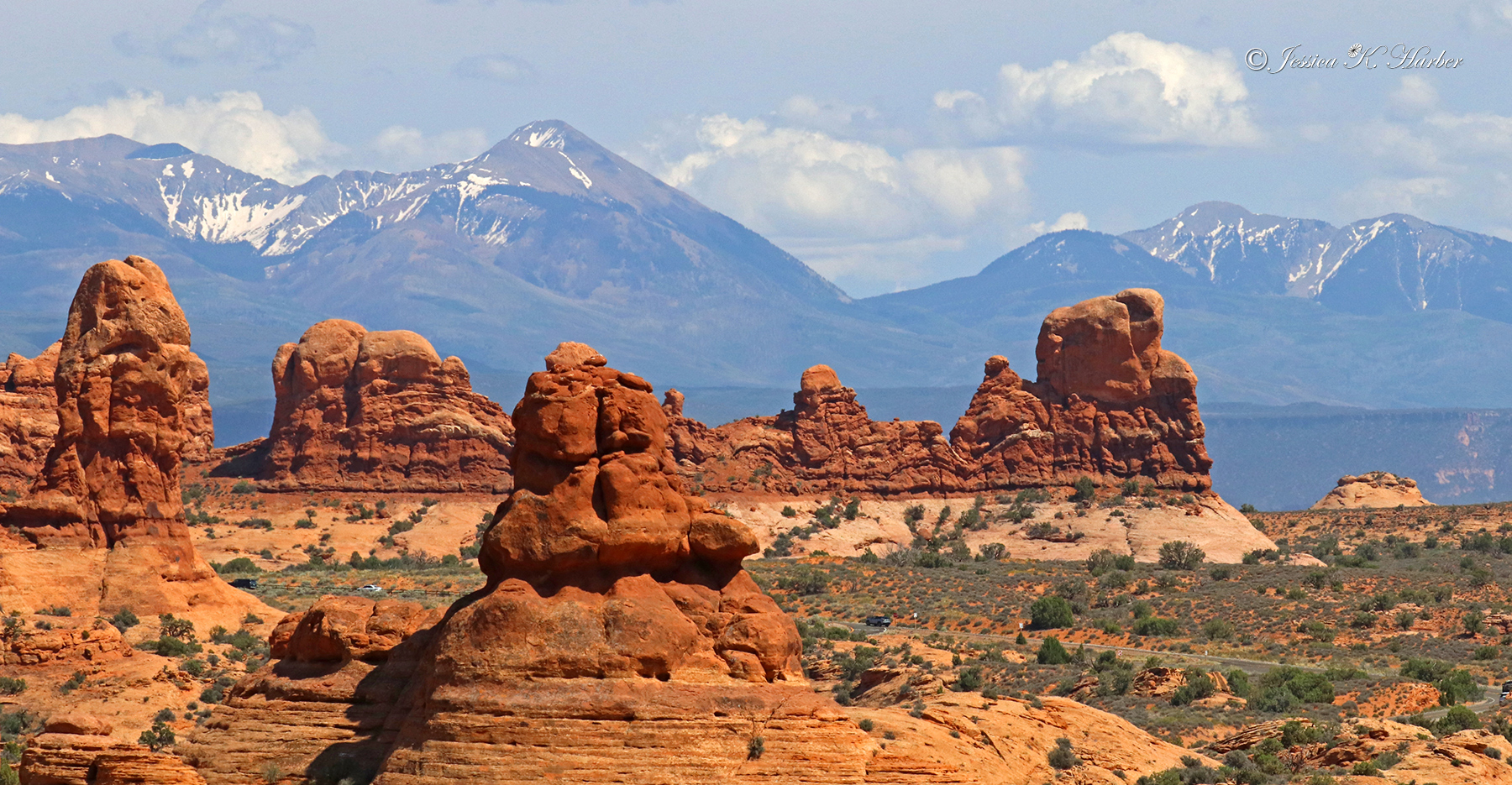
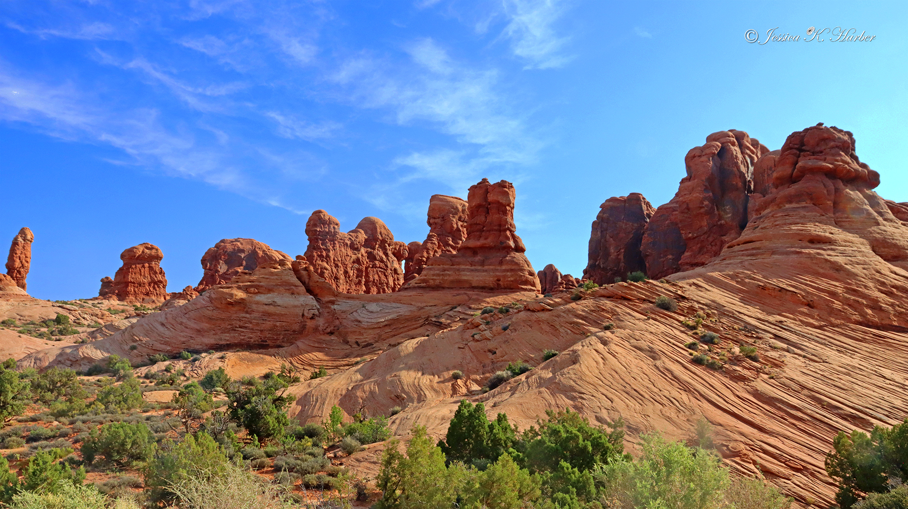
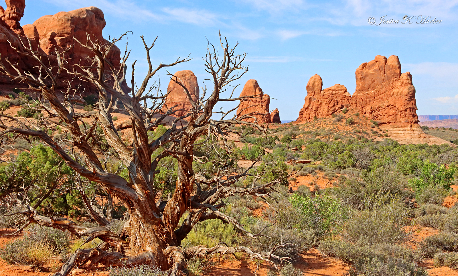
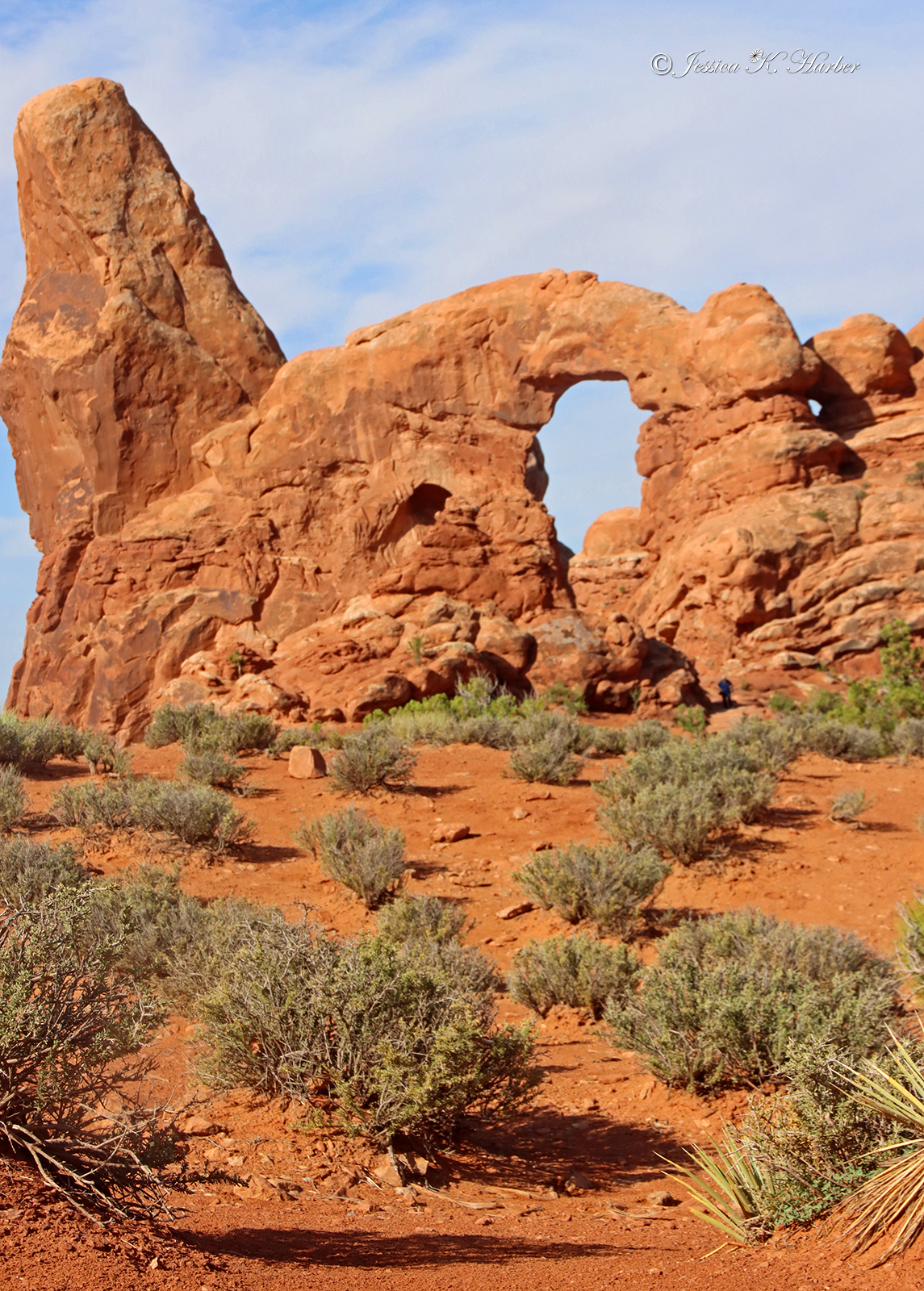
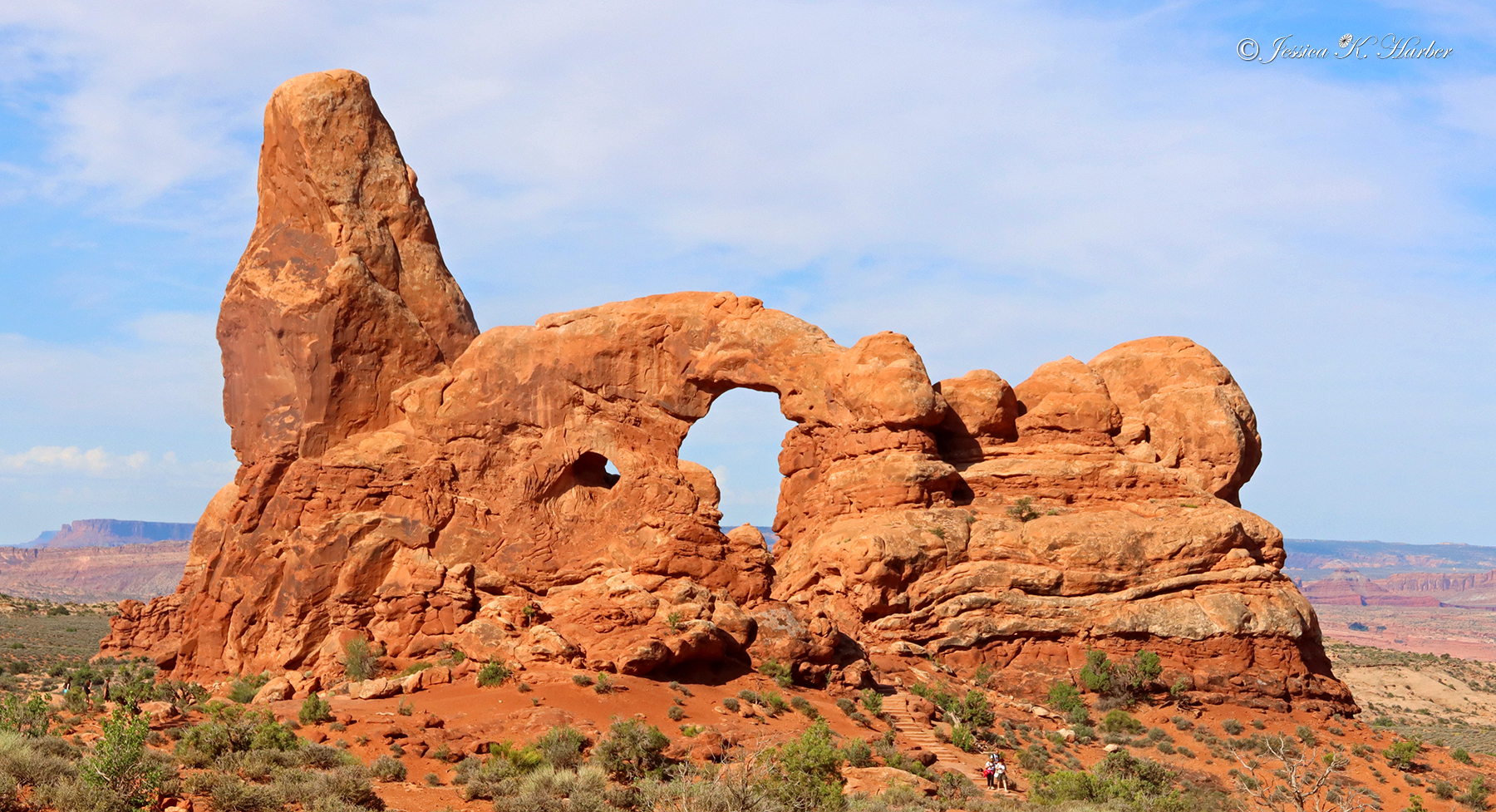
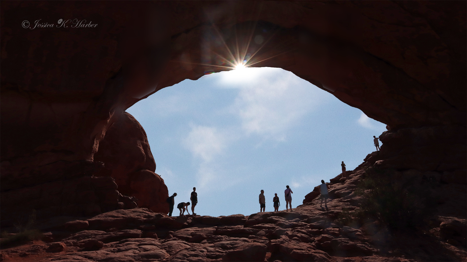
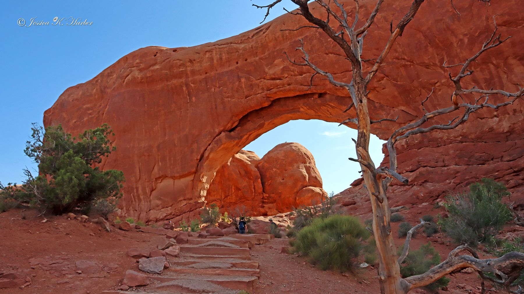
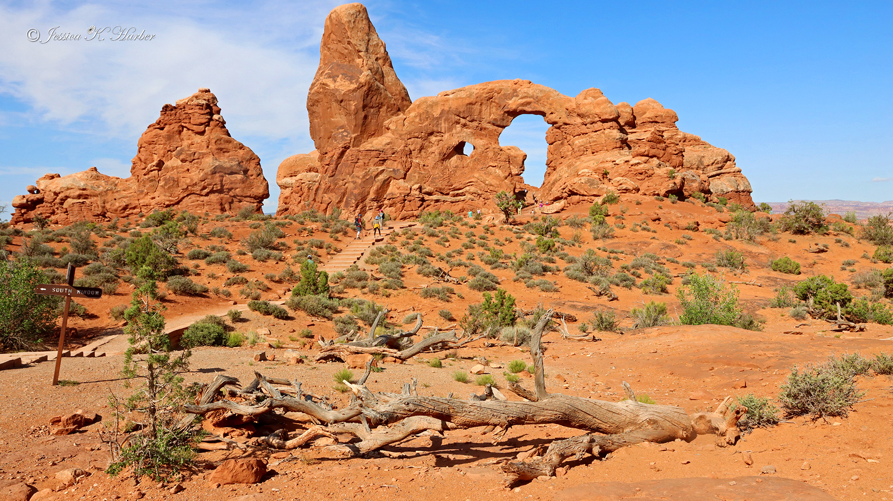
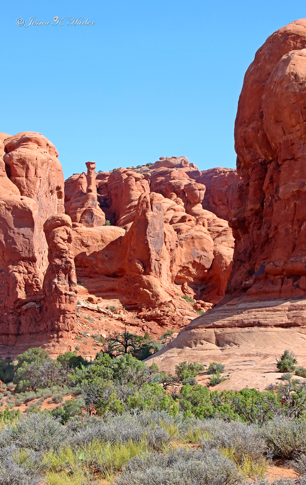
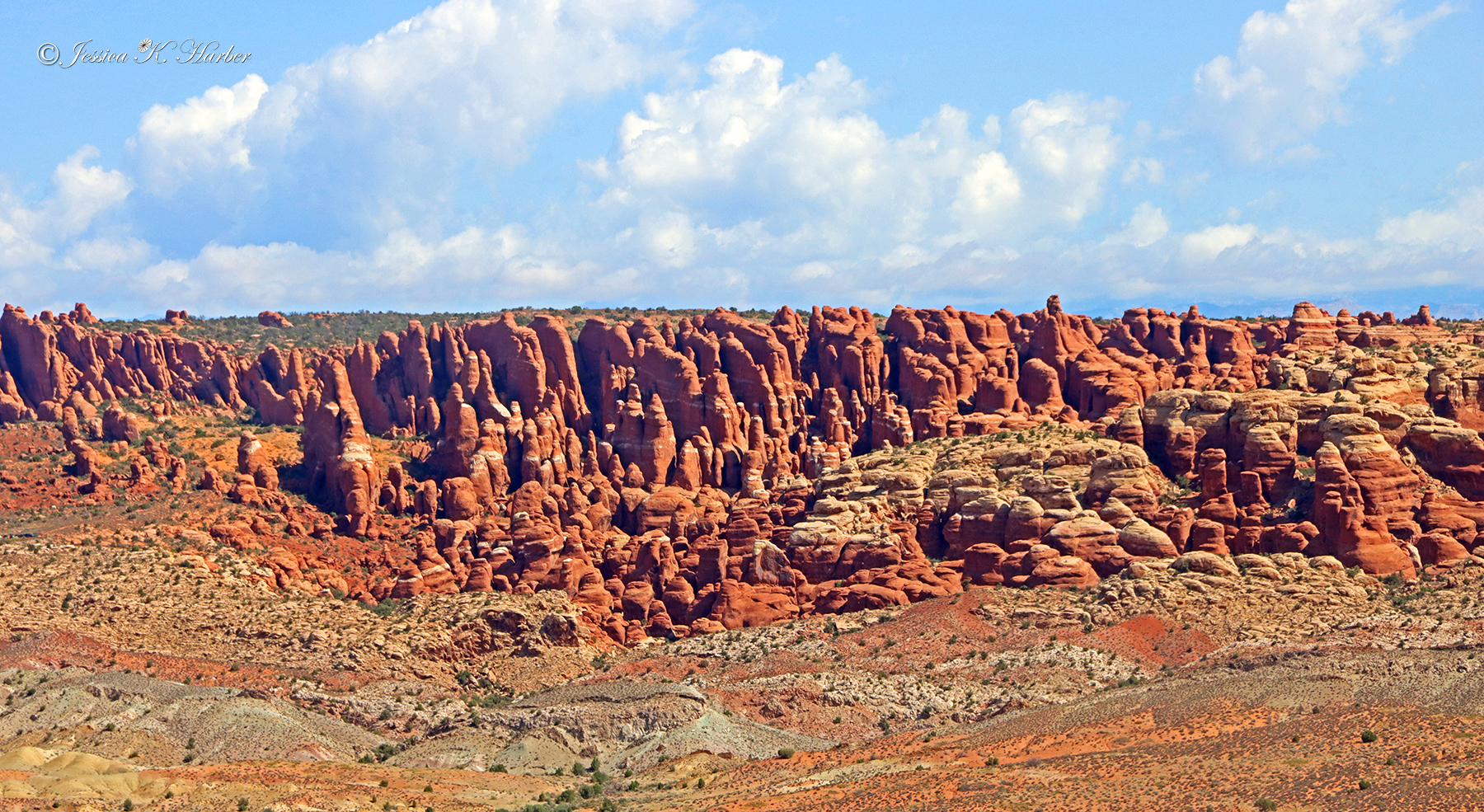
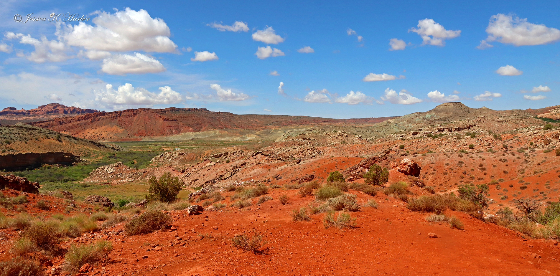
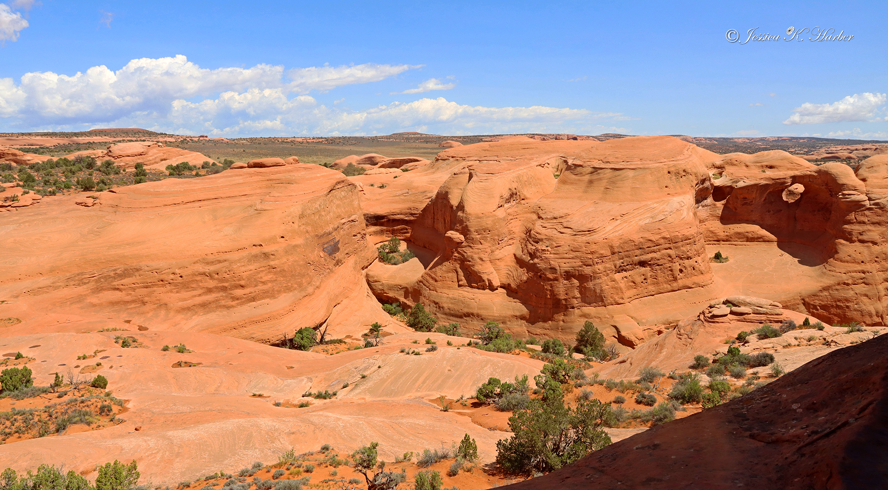
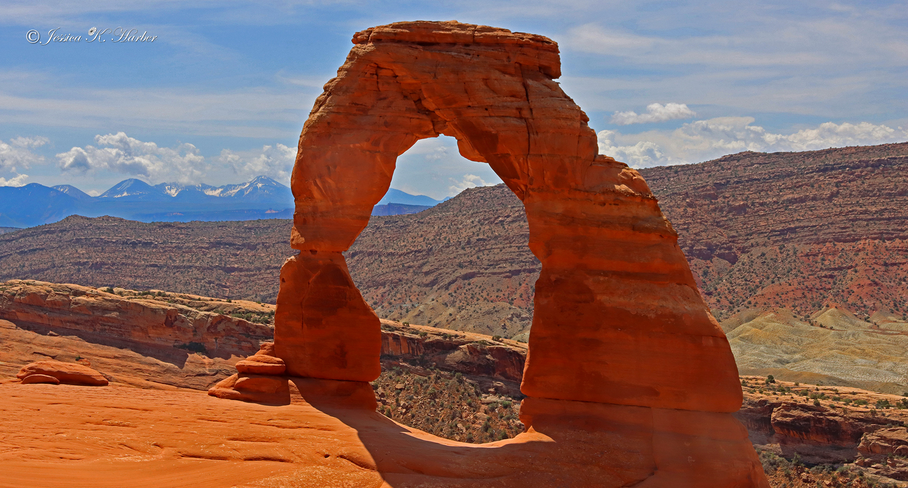
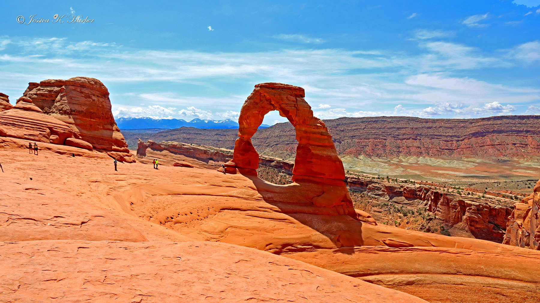
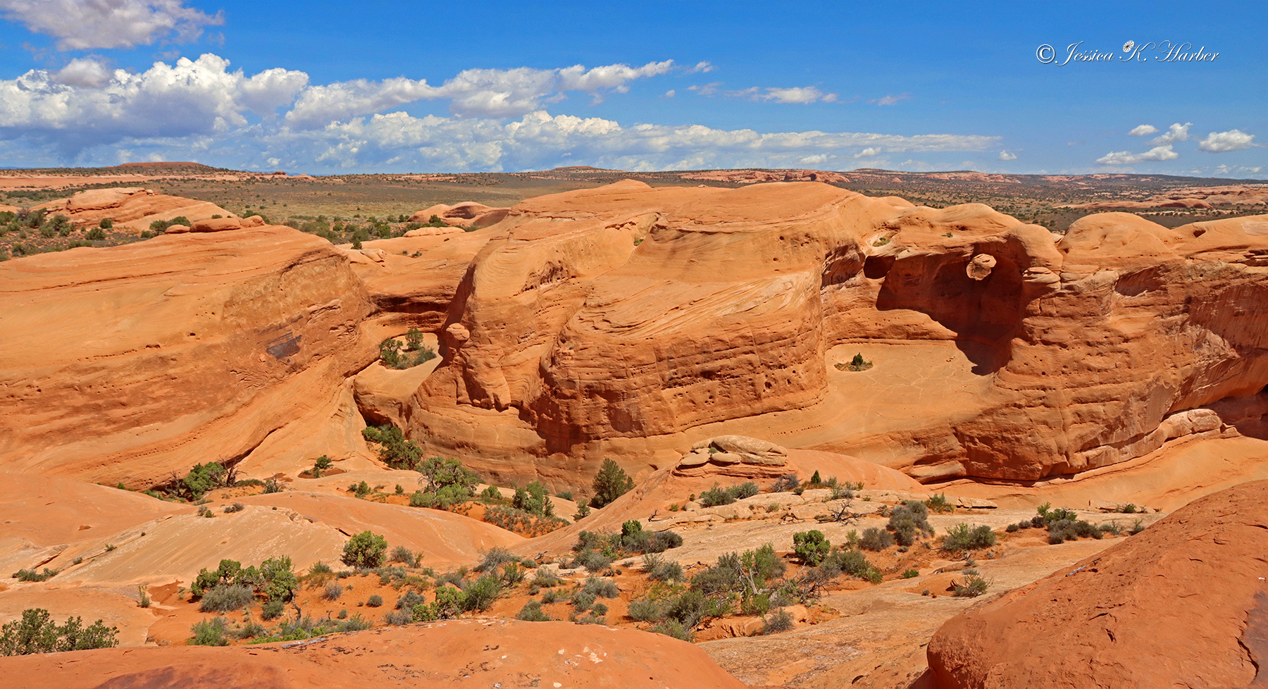
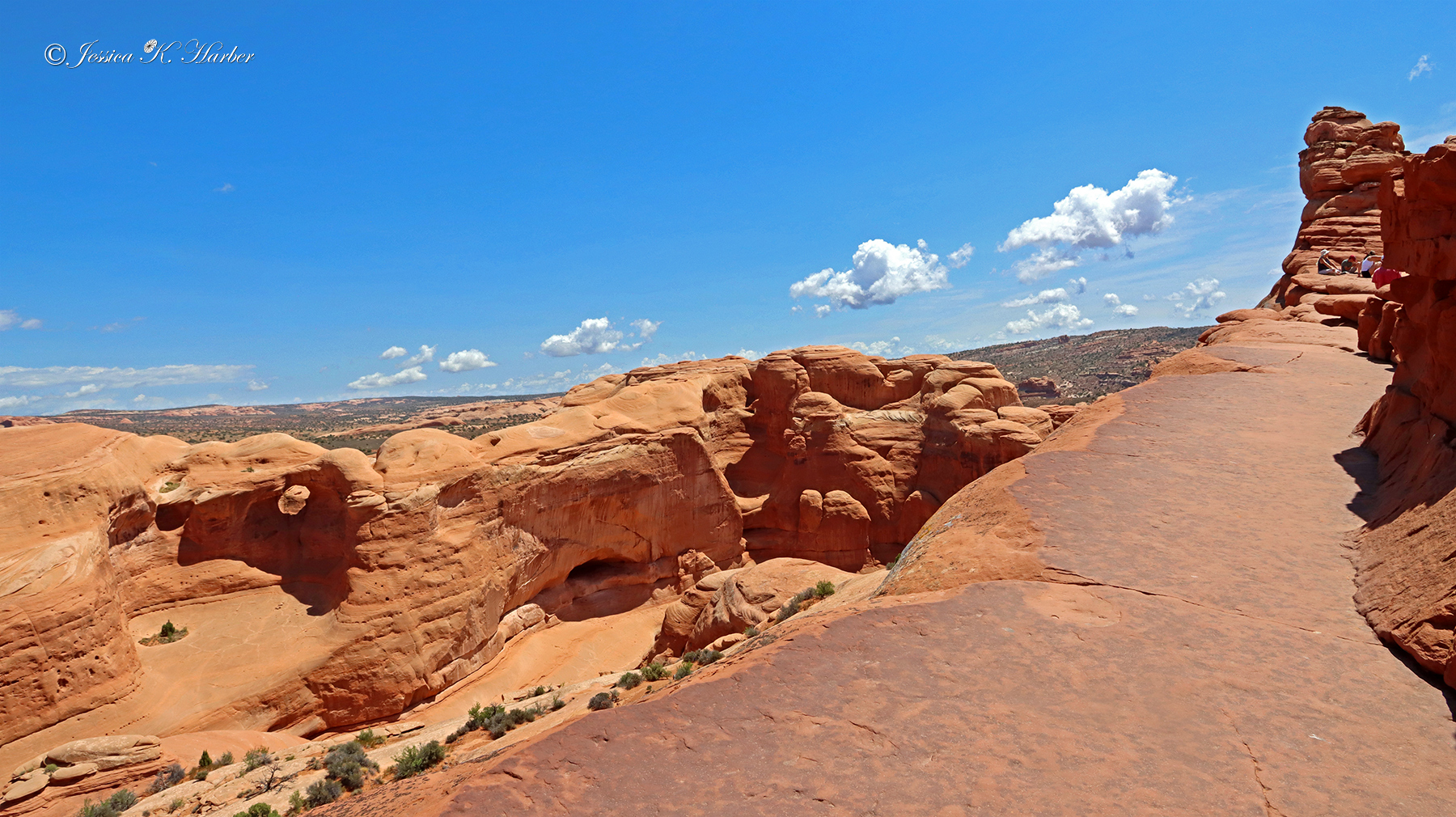
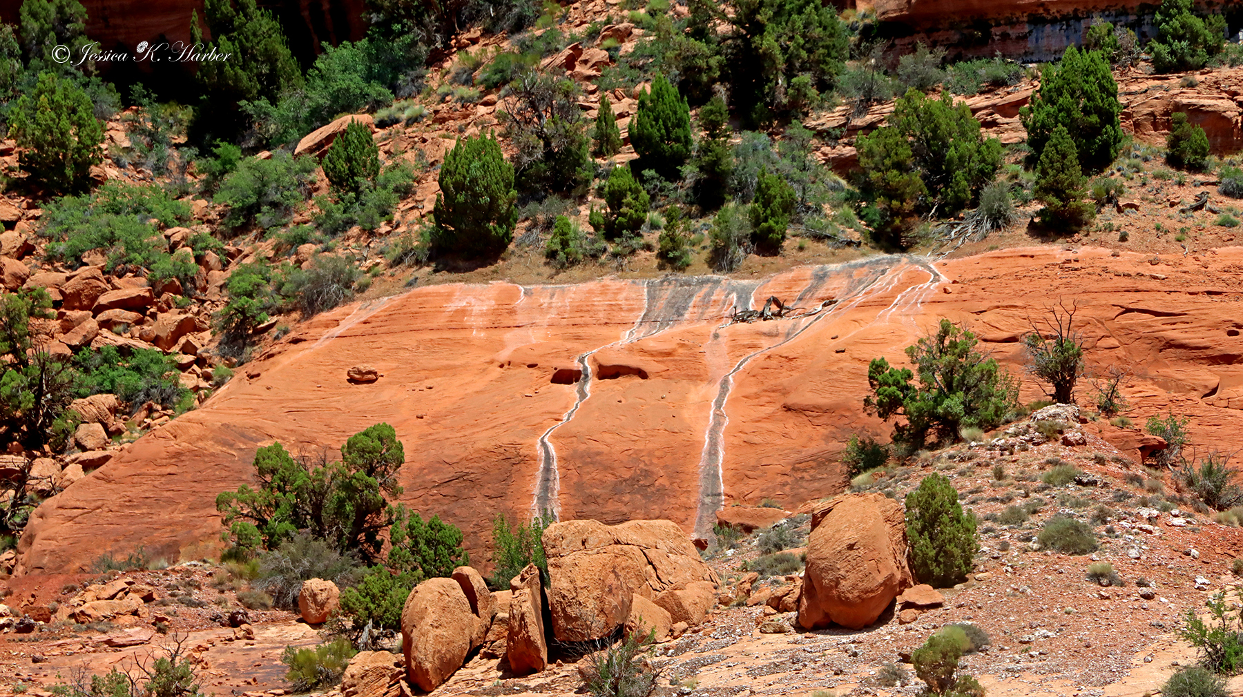
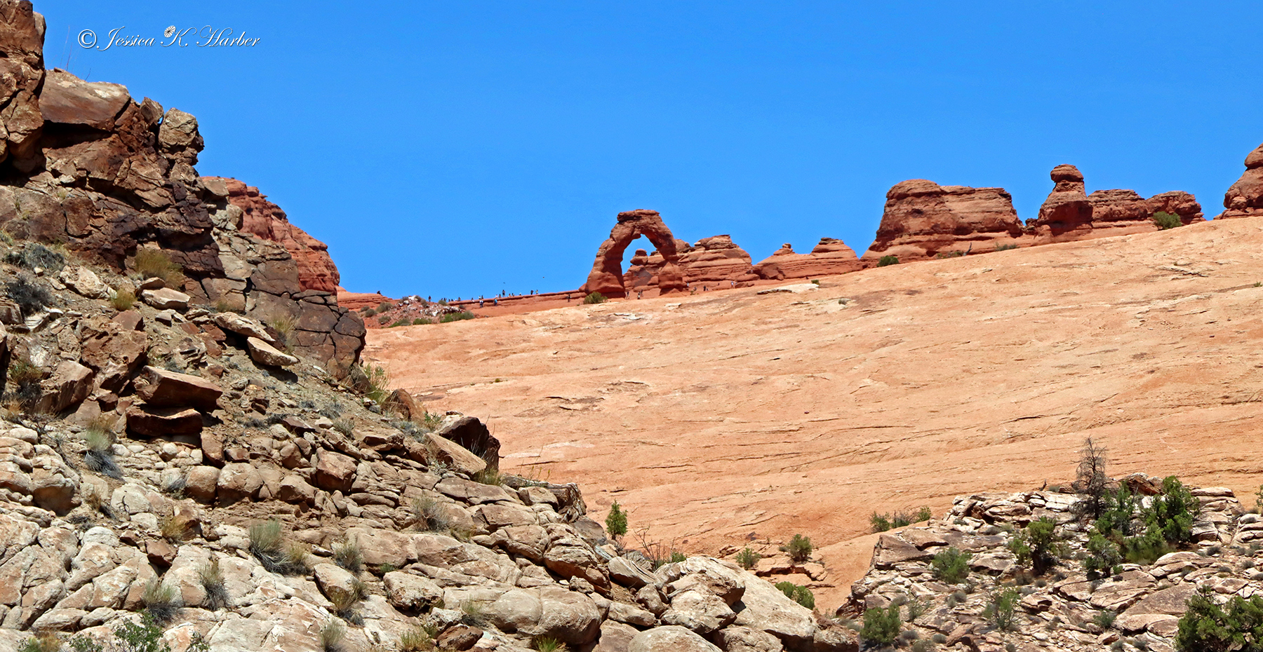
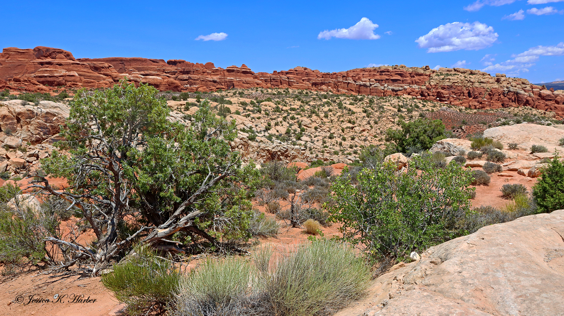
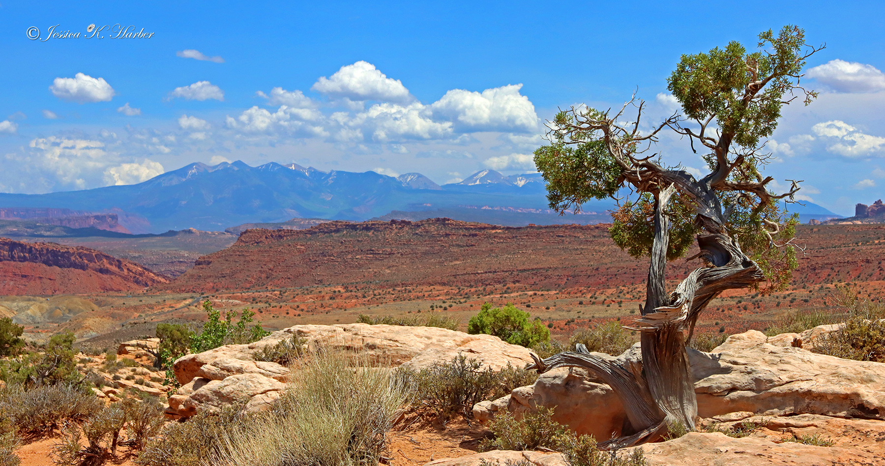
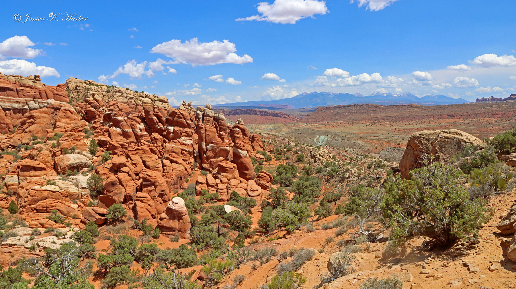
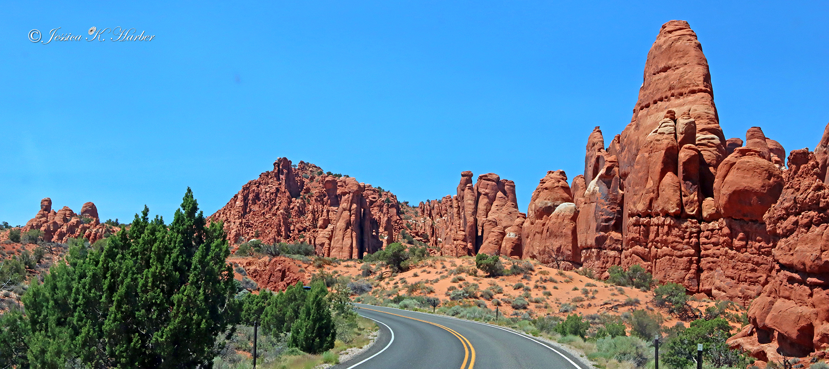
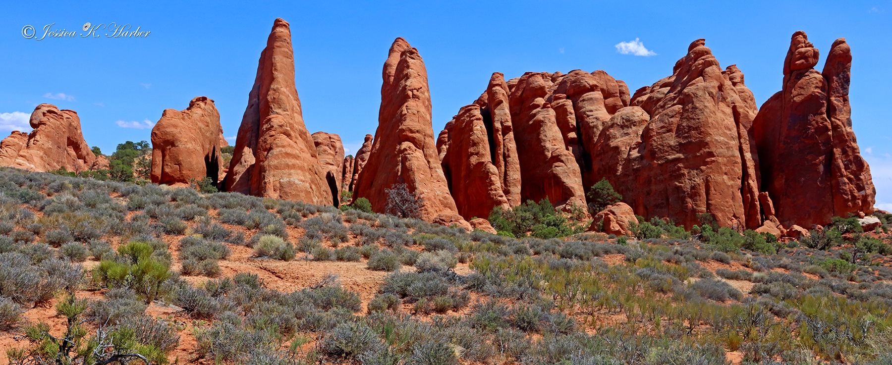
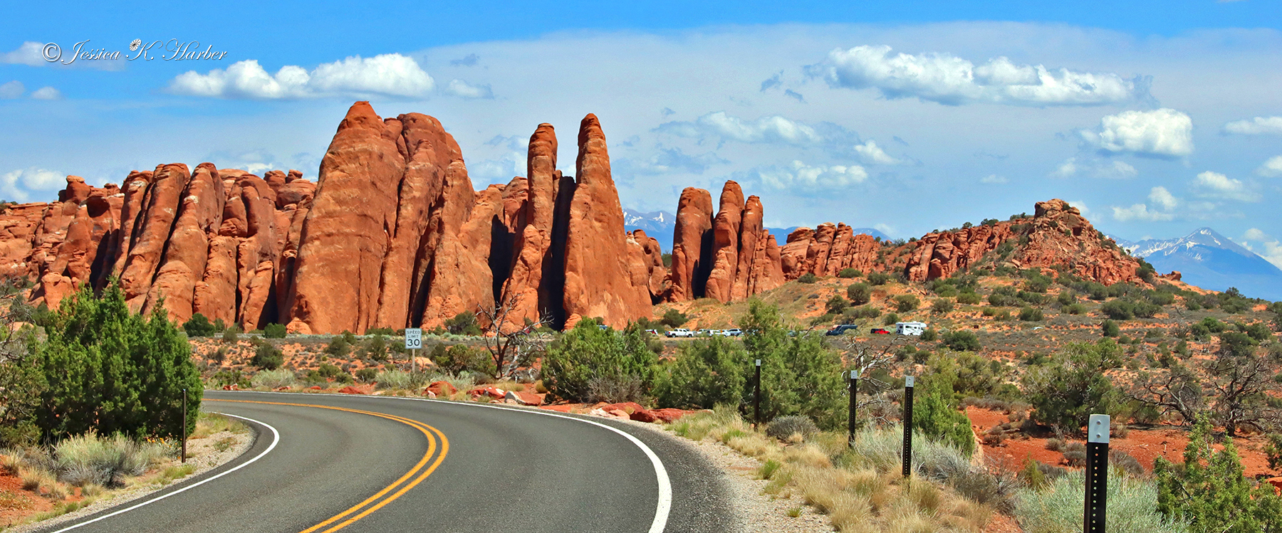
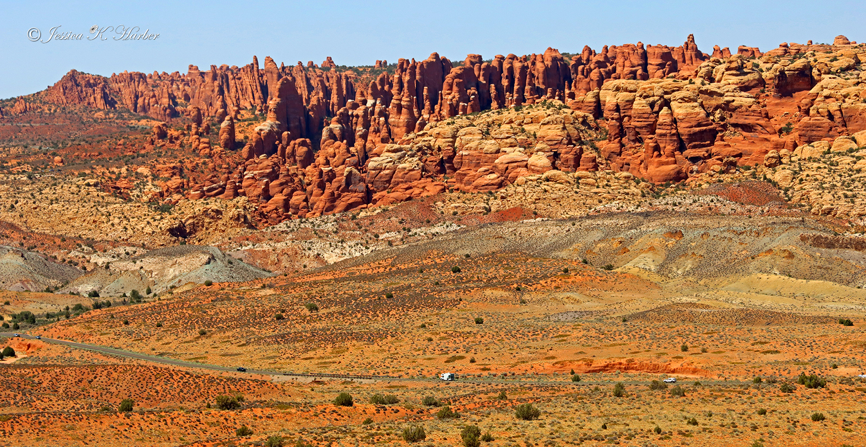
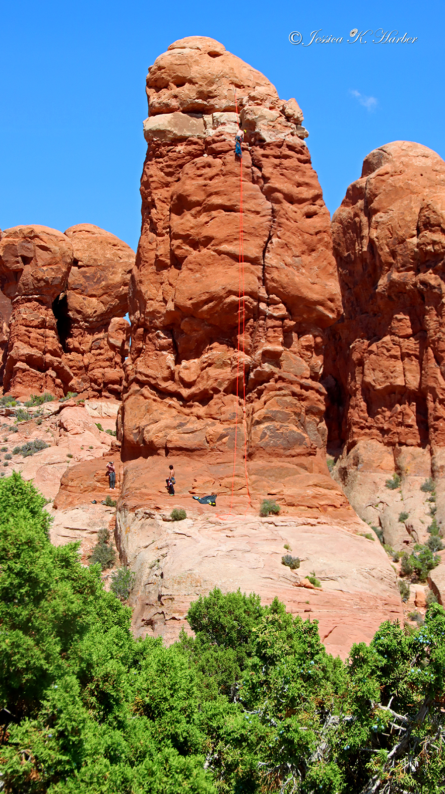
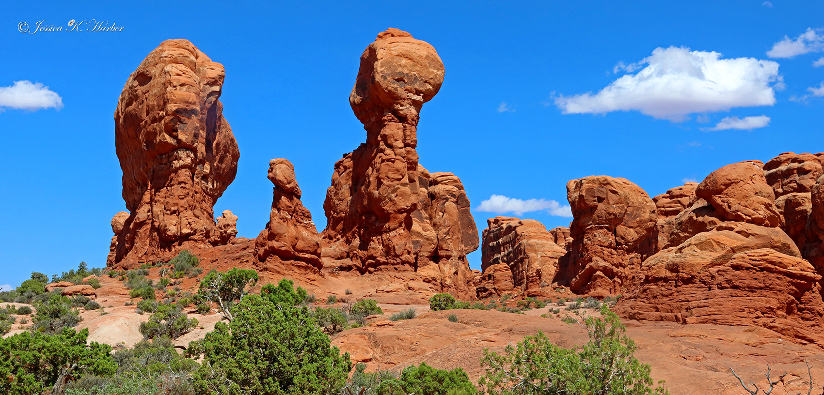
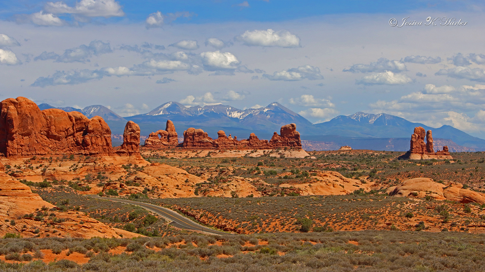
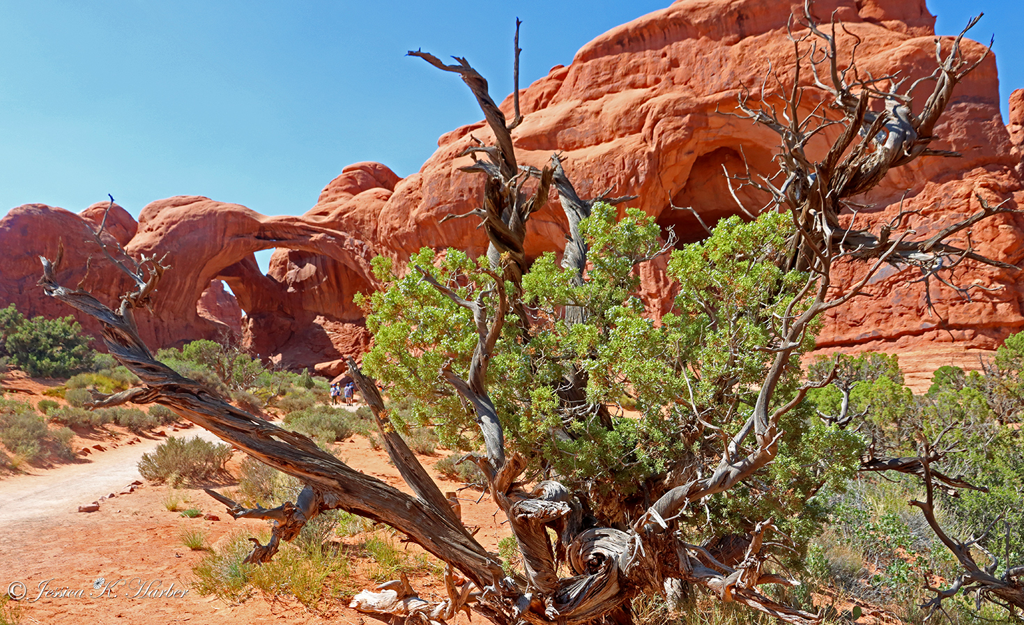
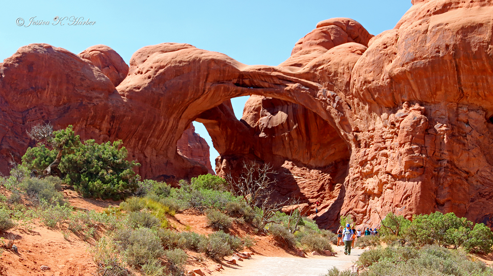
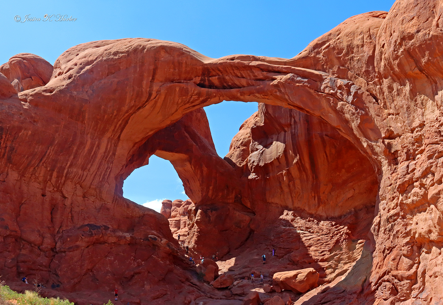
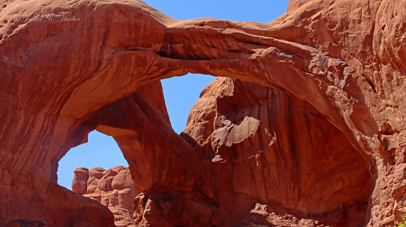
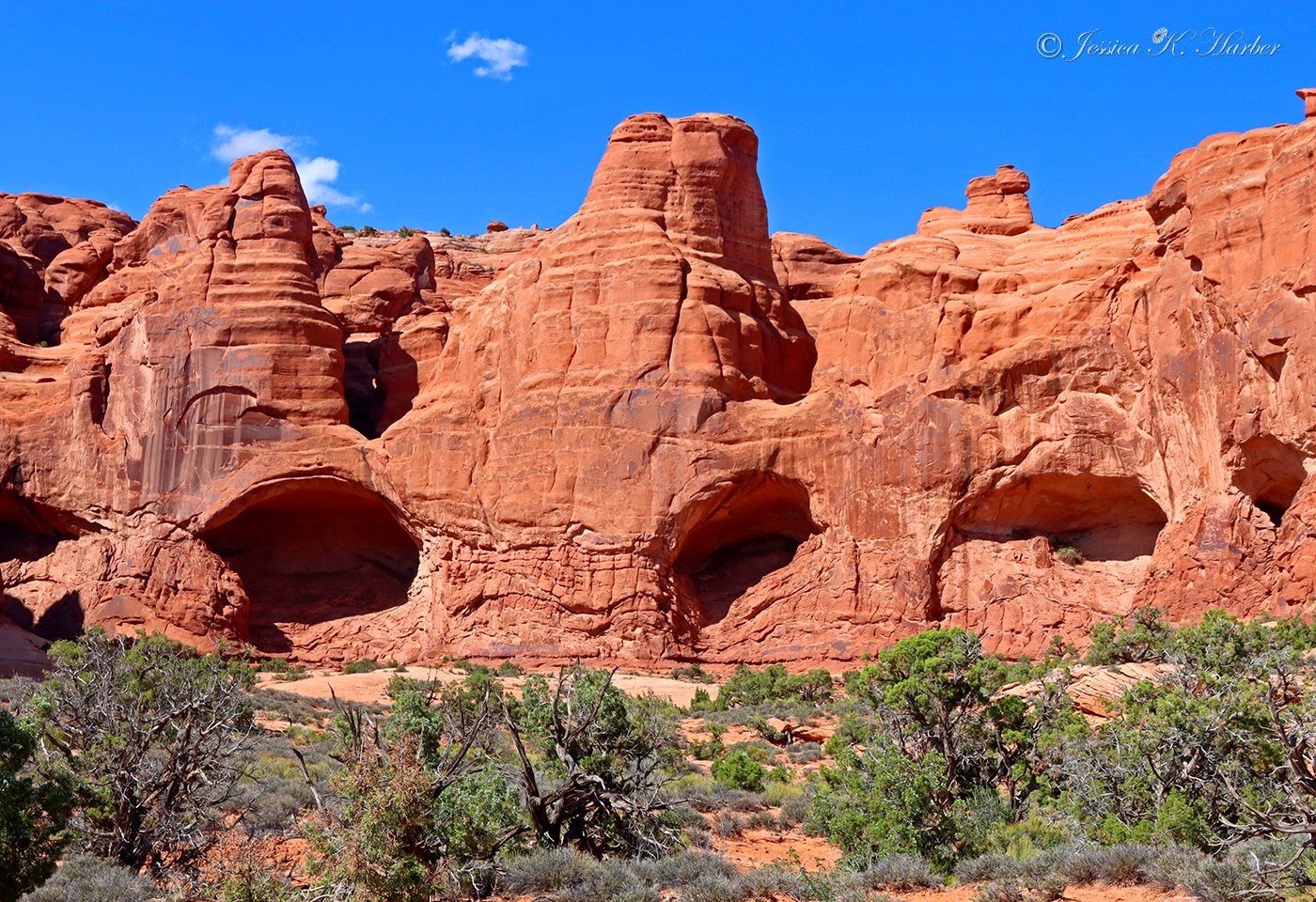
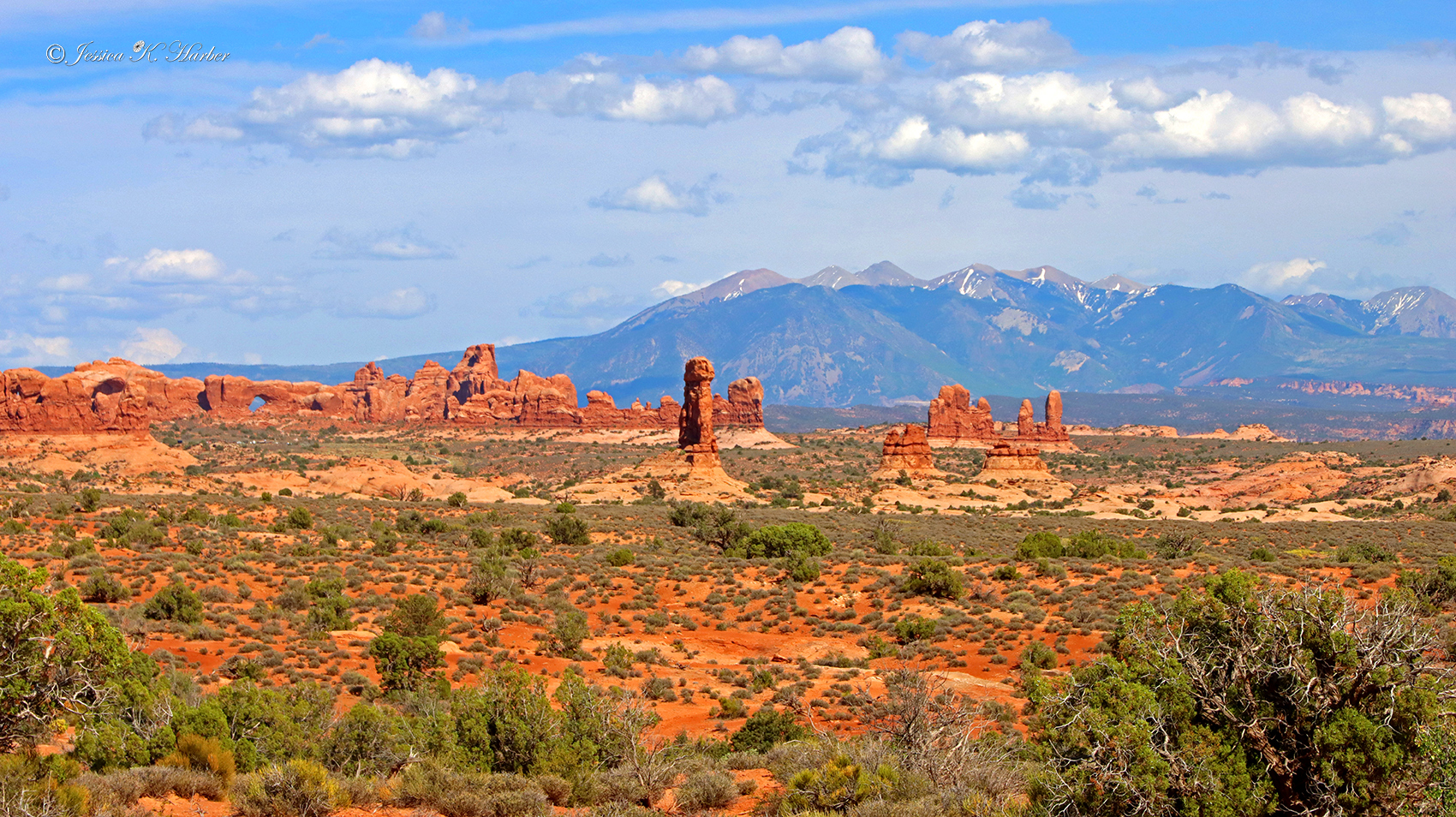
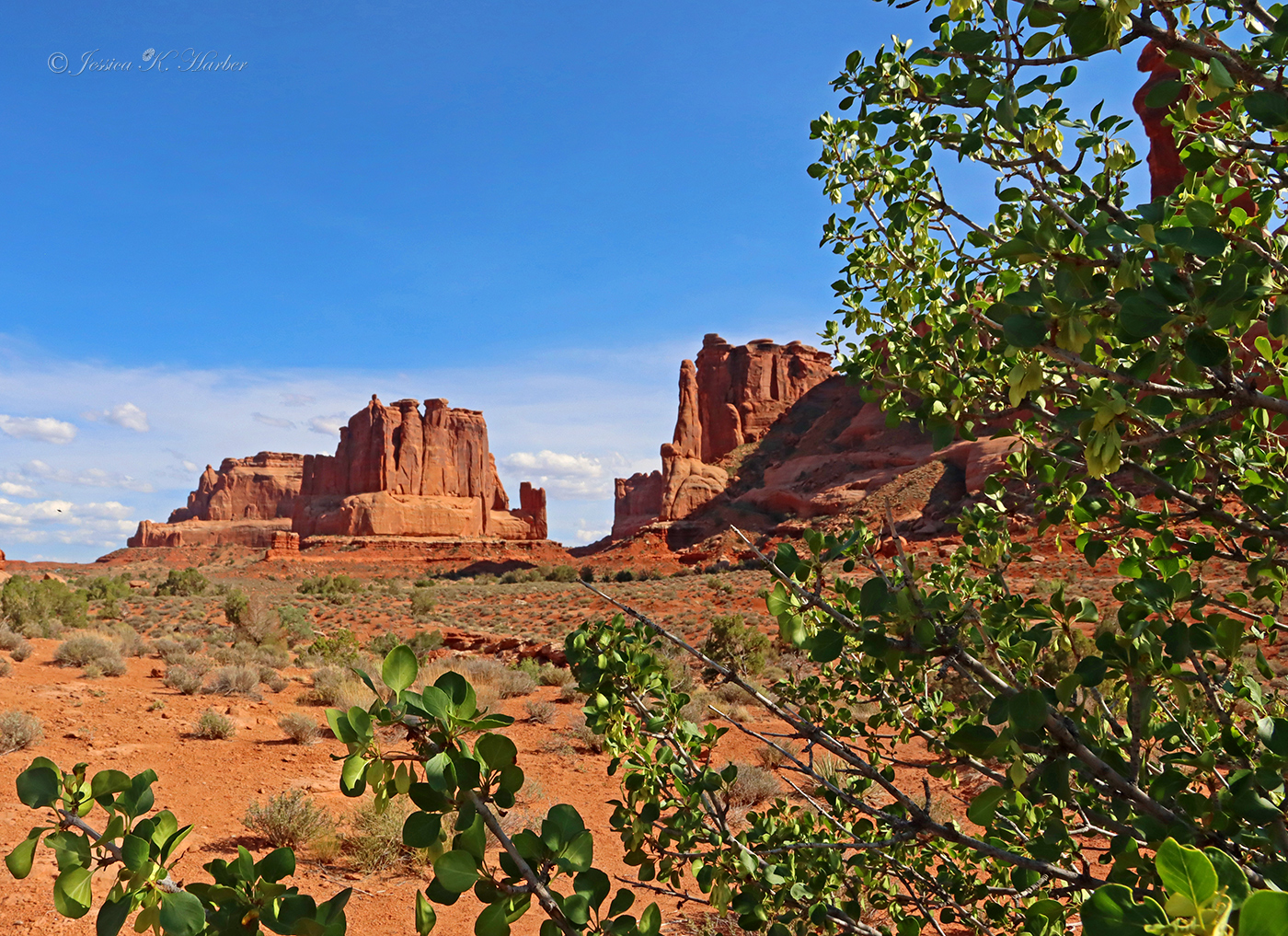
My favorite kind of landscape is definitely “green” but I must admit, Arches was amazing.
I stayed on public land about 15 minutes away. No amenities but easy to get in and out of.
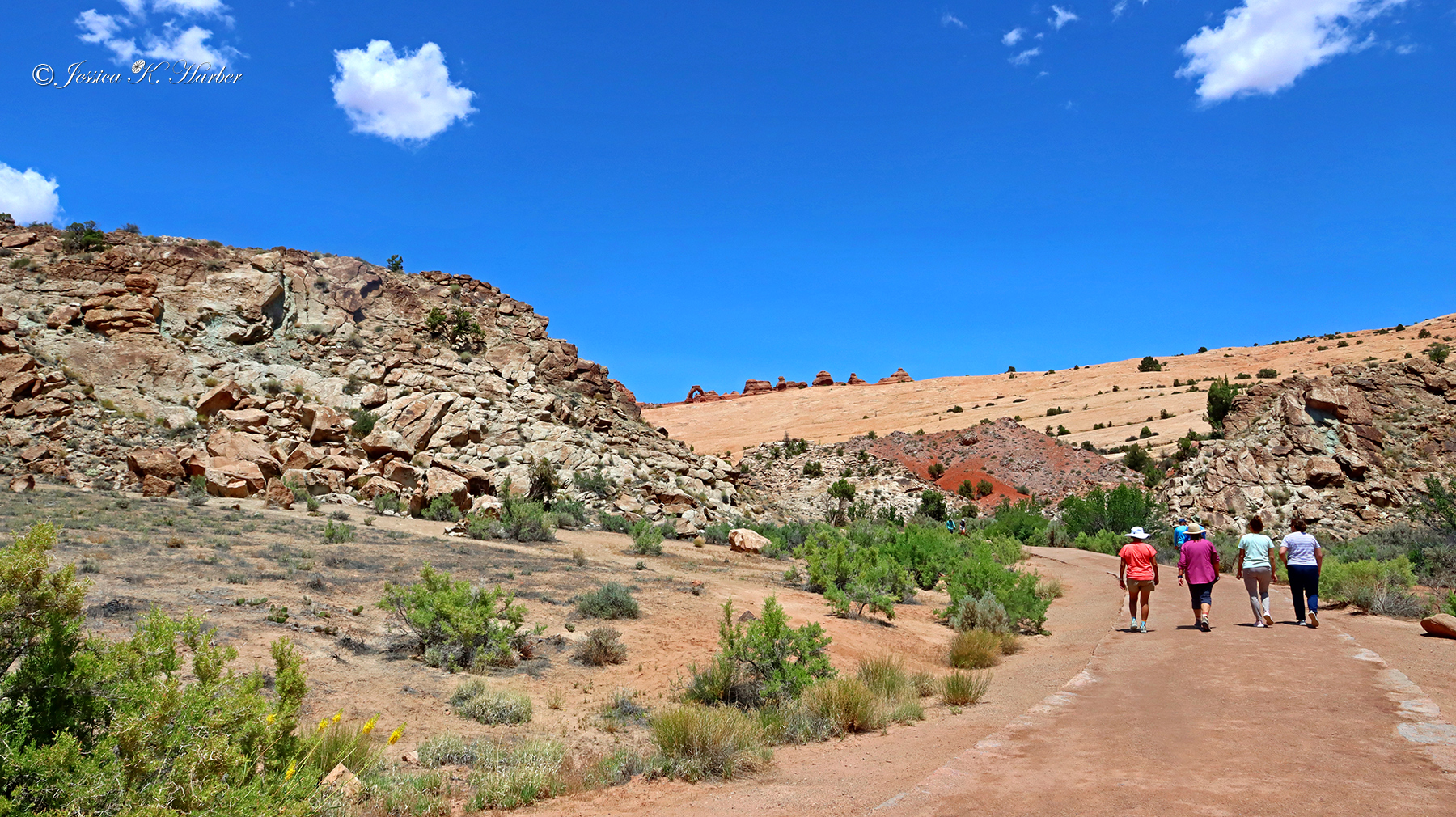
Only one hike – to the famous Delicate Arch. I started late in the morning which I don’t recommend. It was the first of June and hot. I knew it would be, so I took as many “shade breaks” as I could. Seeing the famous arch was pretty neat. I would like to go again when it’s cooler, the light is a bit better, and I’m in better shape.
One nice feature I enjoyed photographically are the La Sal Mountains that provide a beautiful backdrop to many settings in Park.
I got a bit carried away with photos and took quite a few. Believe me, though, I left quite a few out of this post. Of the ones in the gallery, several are out of order but I’m just going to leave them.
There’s also a video at the bottom of the gallery.
UTAH. JUNE.

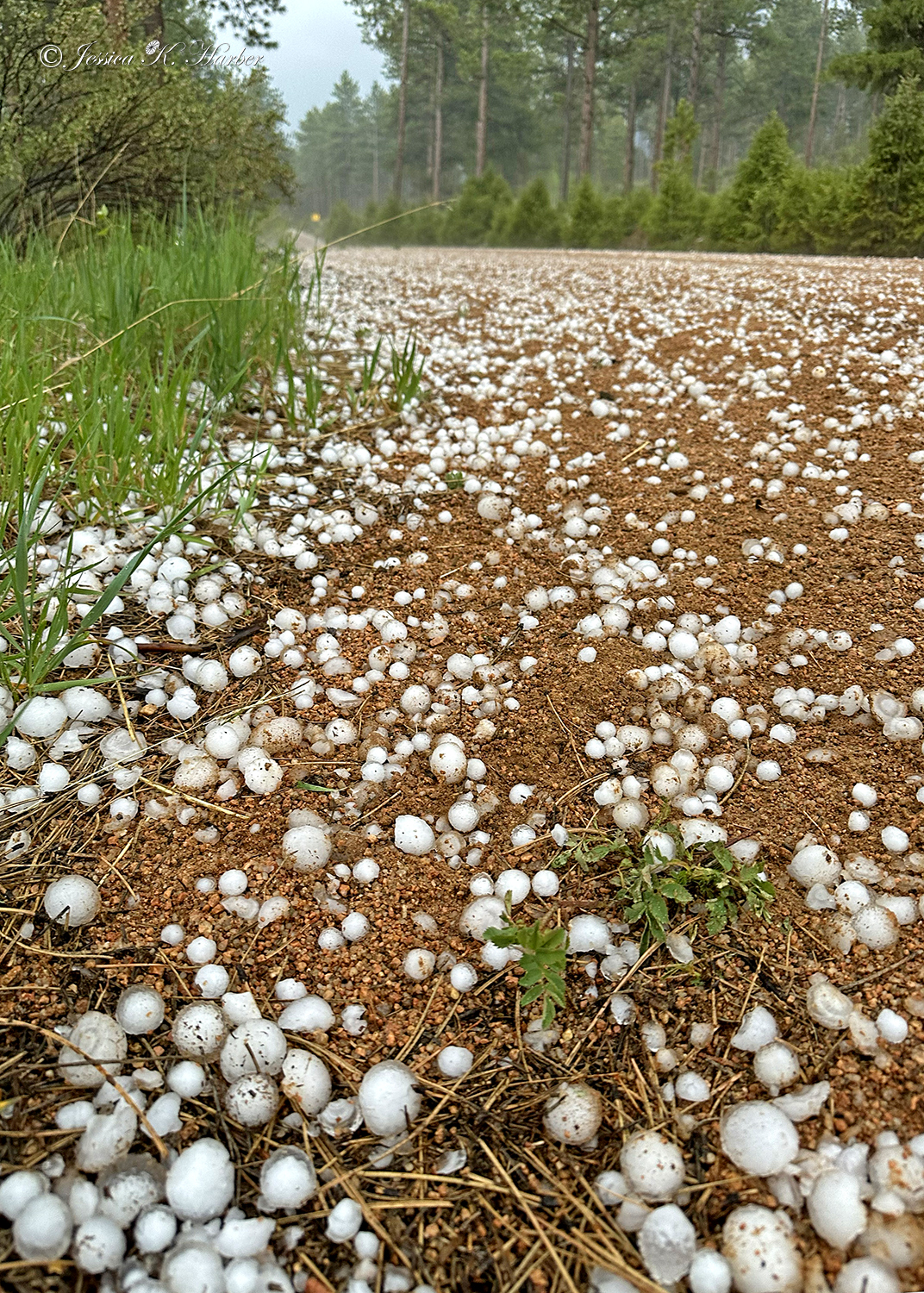
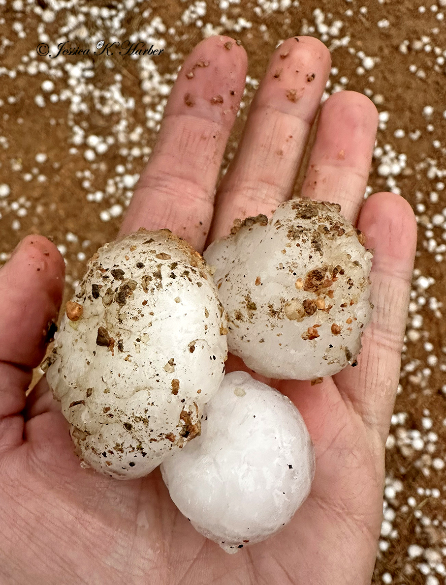
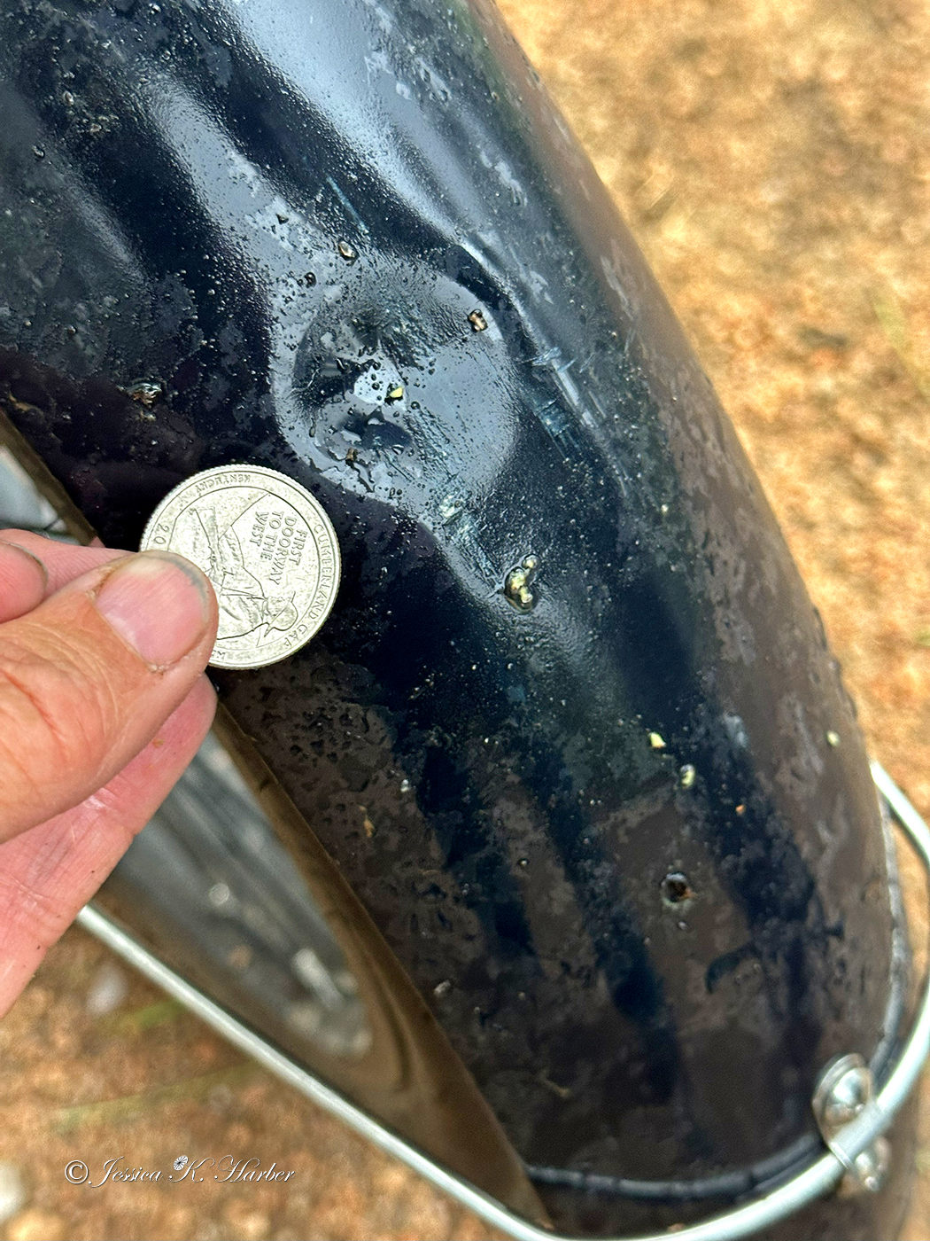
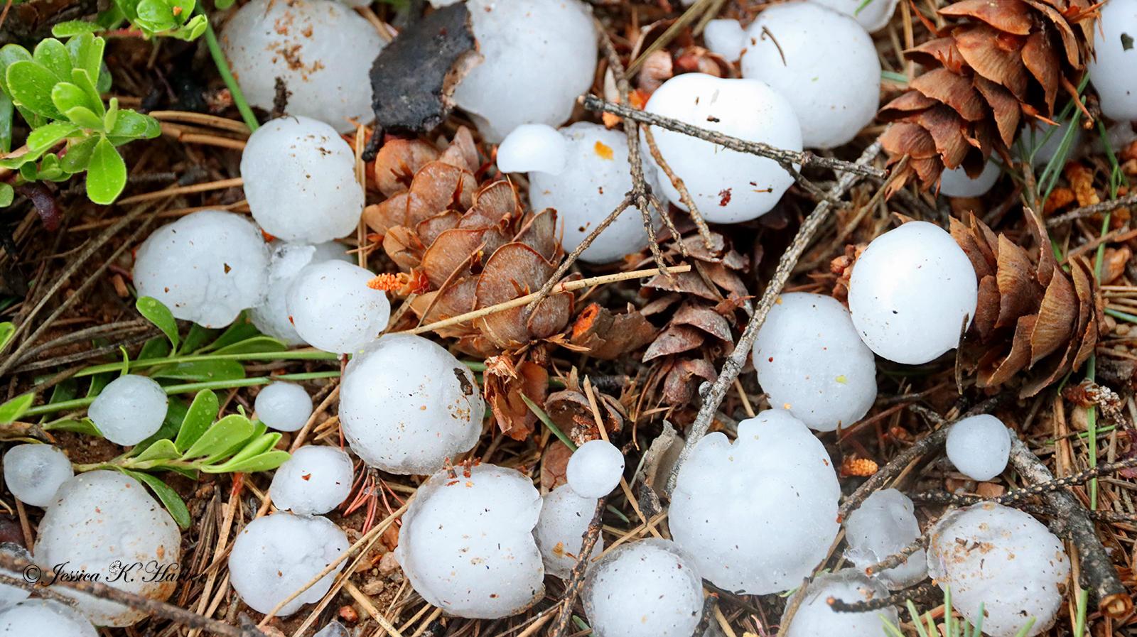
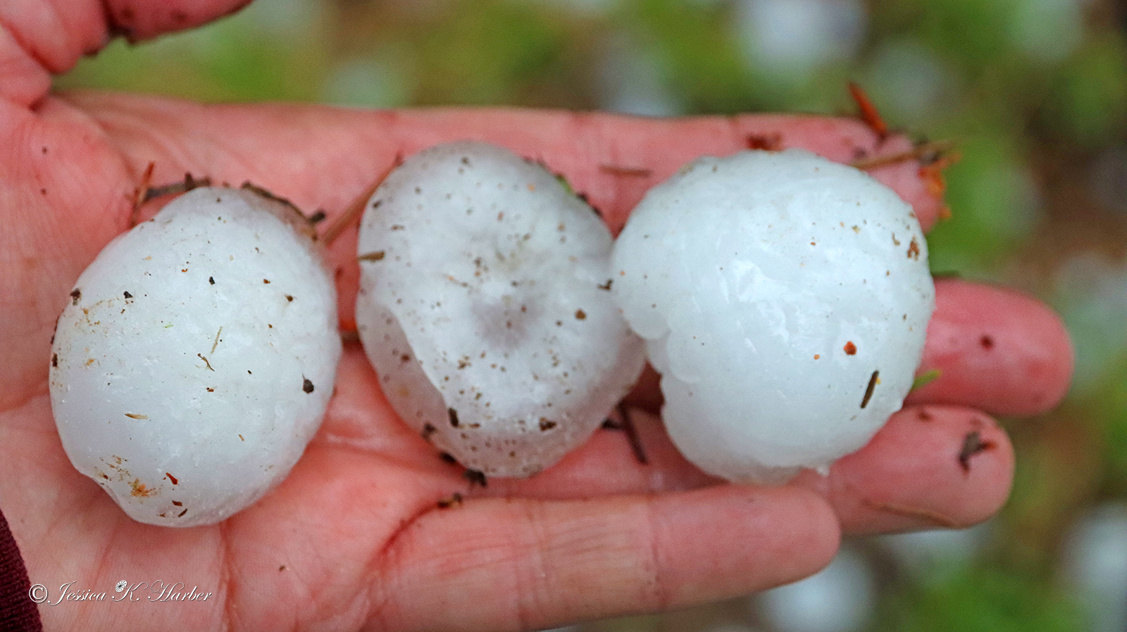
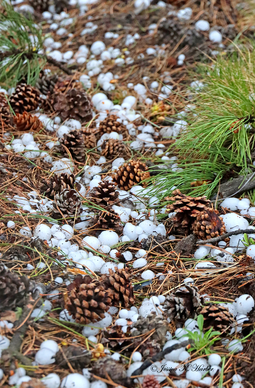
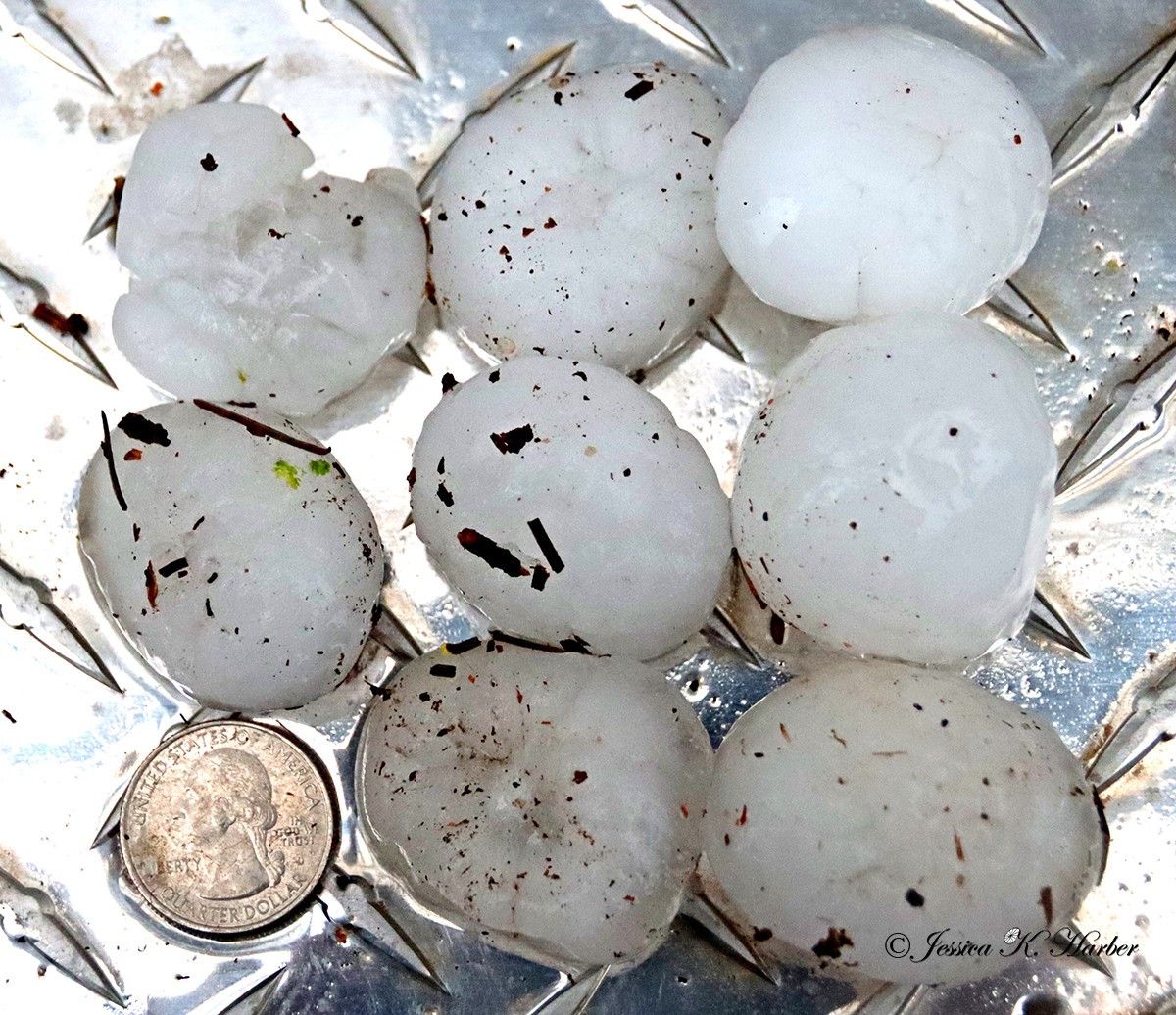
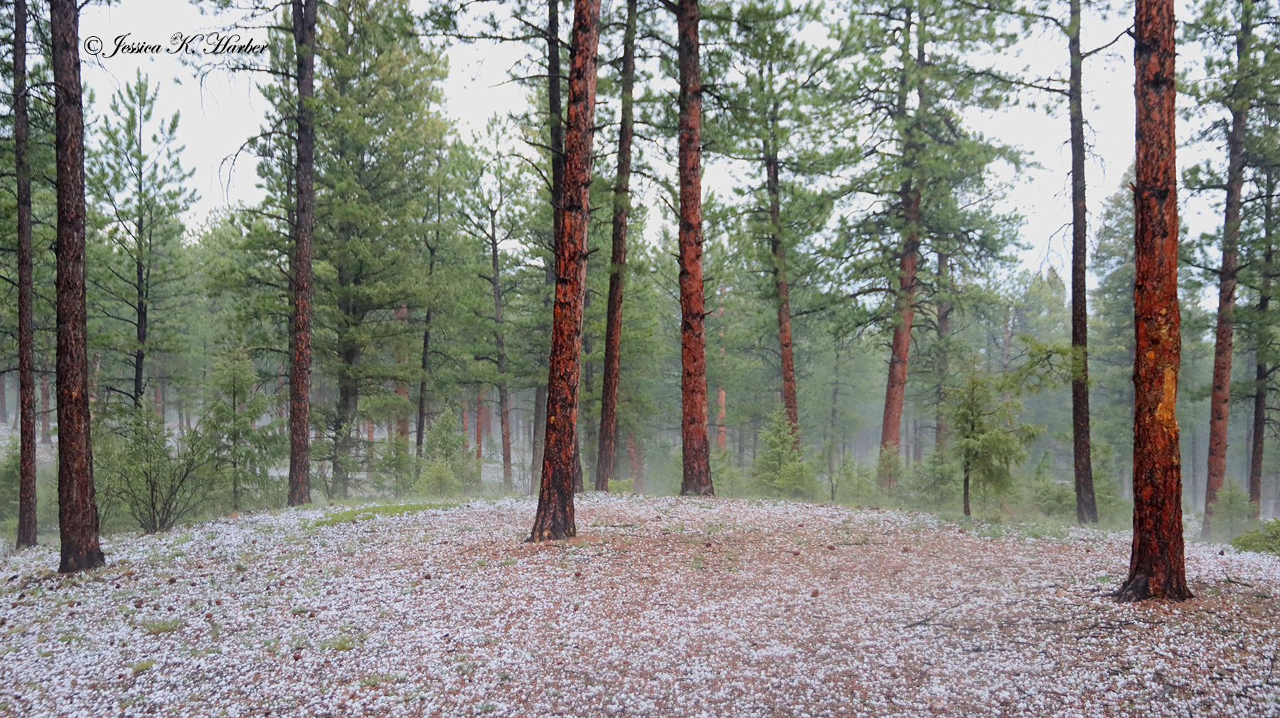
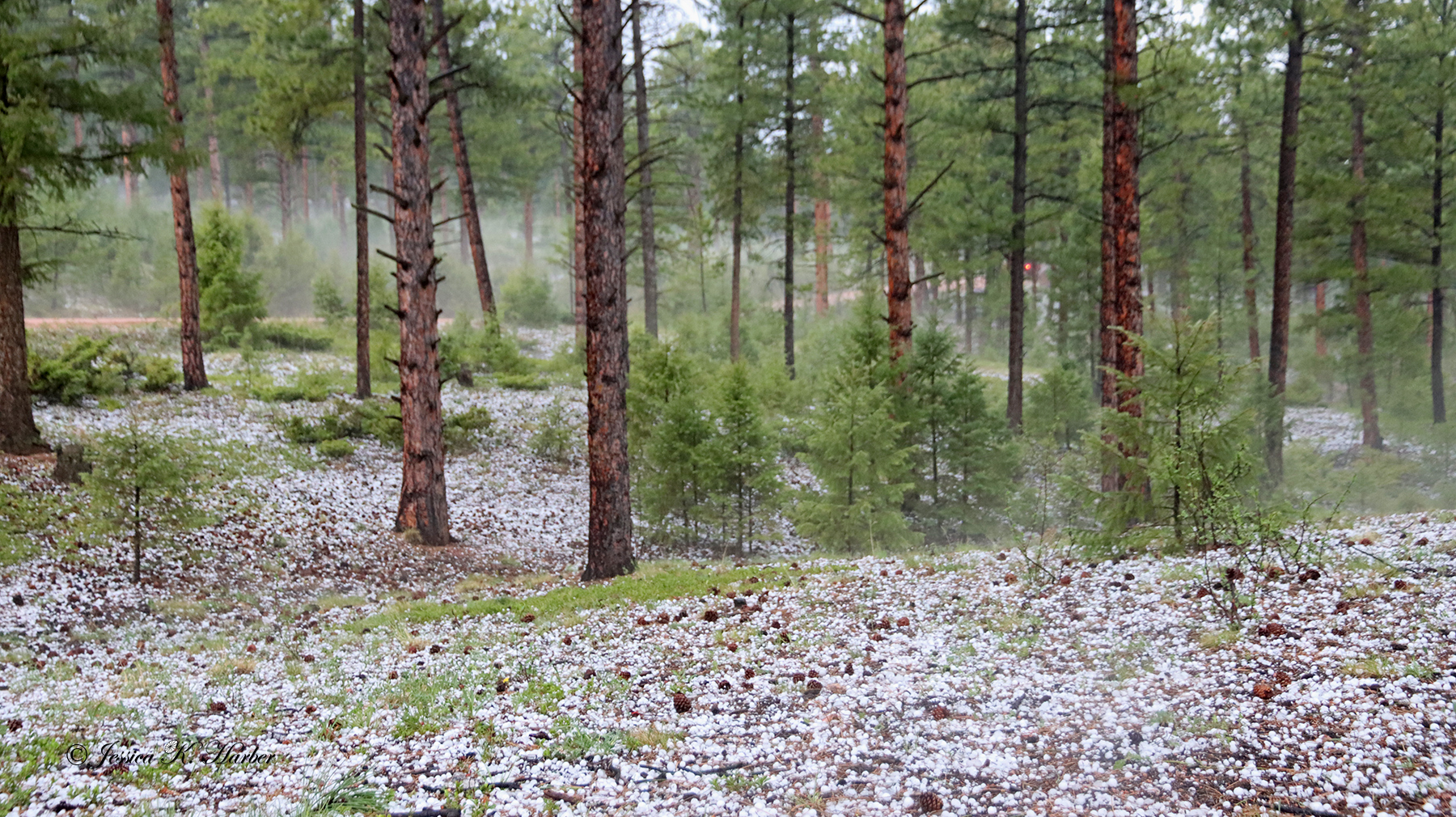
I traveled to the mountains just south of Denver to meet some friends. The most exciting event there – golf ball (plus) sized hail. It was amazing, destructive, and loud! Definitely the biggest hailstones I had ever seen. I included a video in addition to the photos in the gallery.
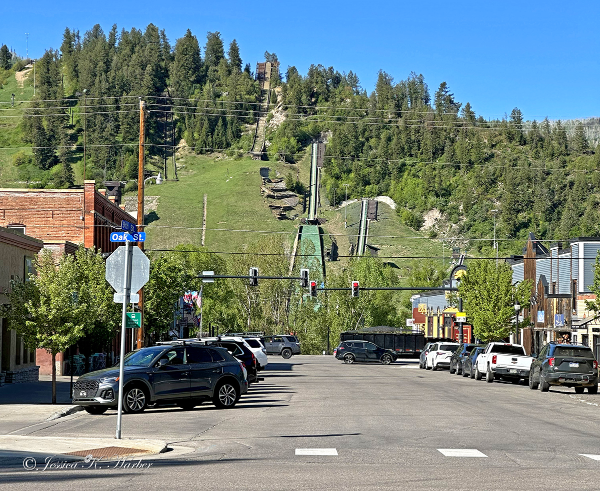
We decided to vacate that camping site and headed up through Colorado to Steamboat Springs, a place I hadn’t been to since the 90’s (a ski trip). We found the public land camping areas were still snow-covered so we ended up spending the night along a street in town, something I didn’t think was possible. But it went fine and we moved along the next morning.
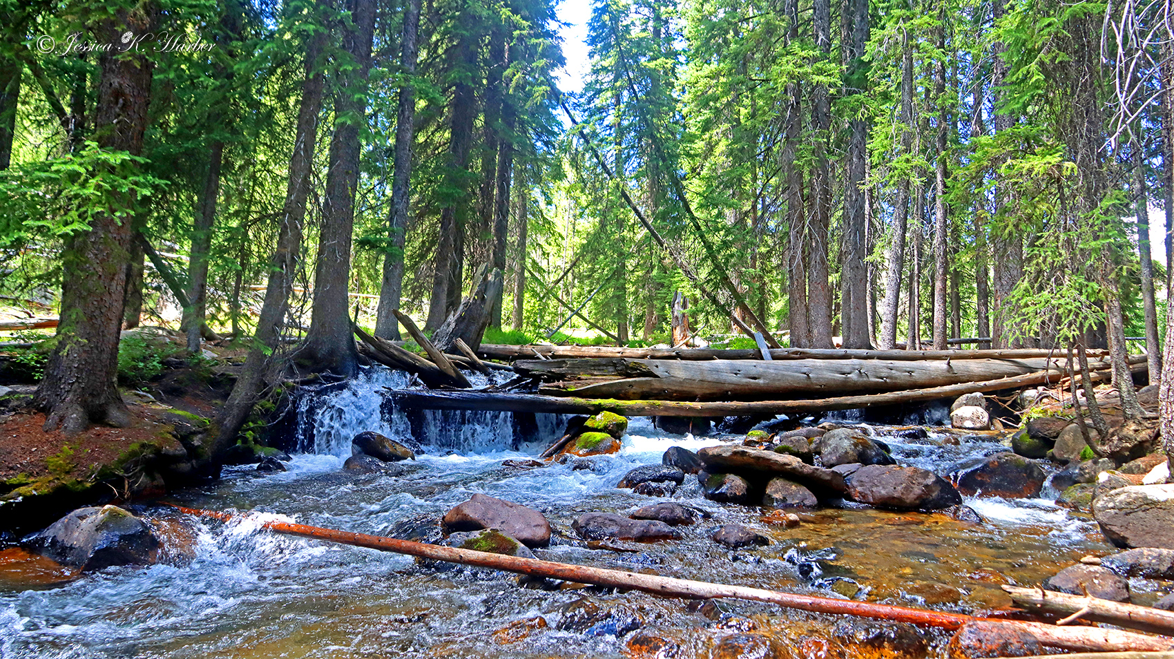
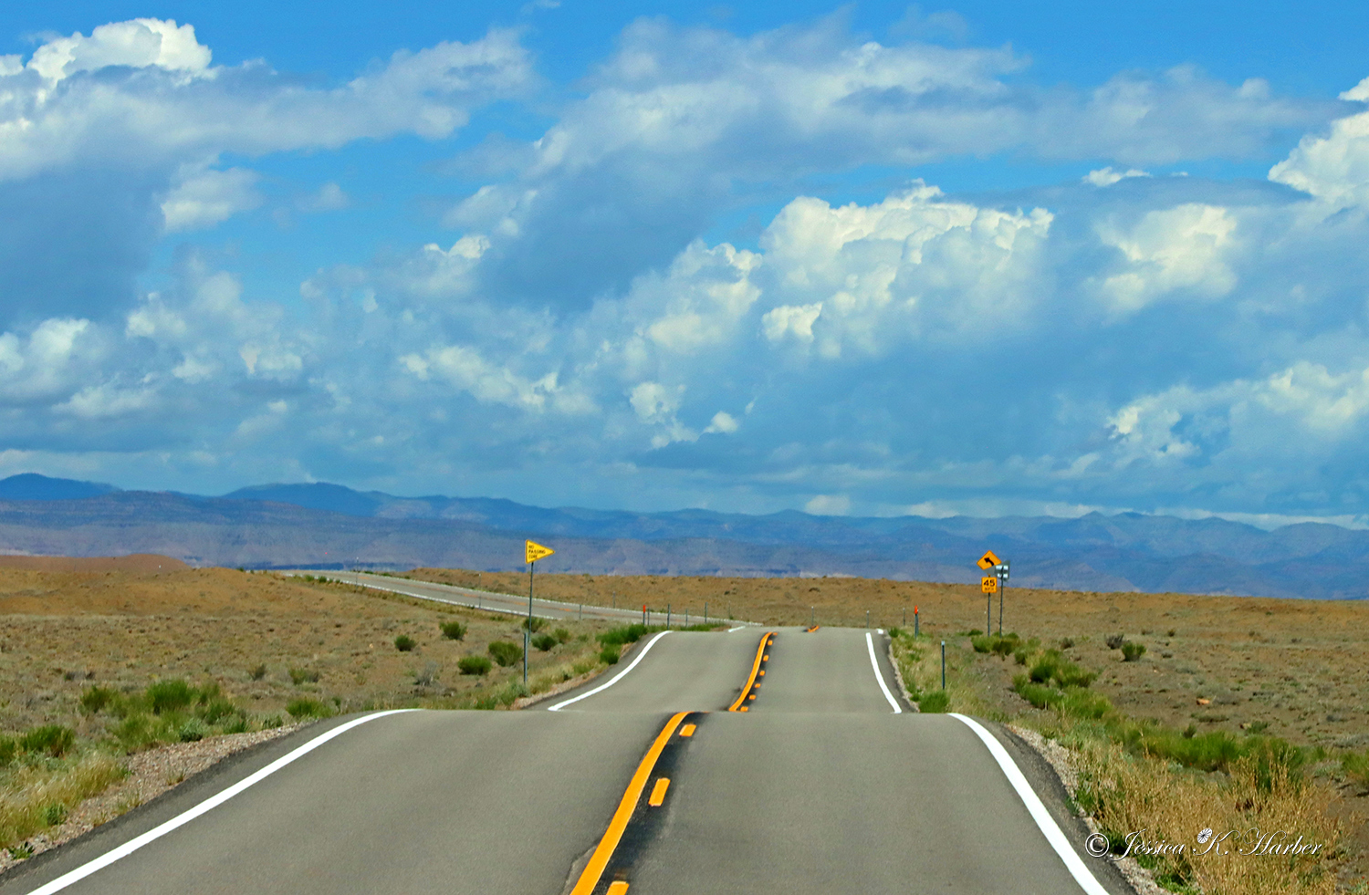
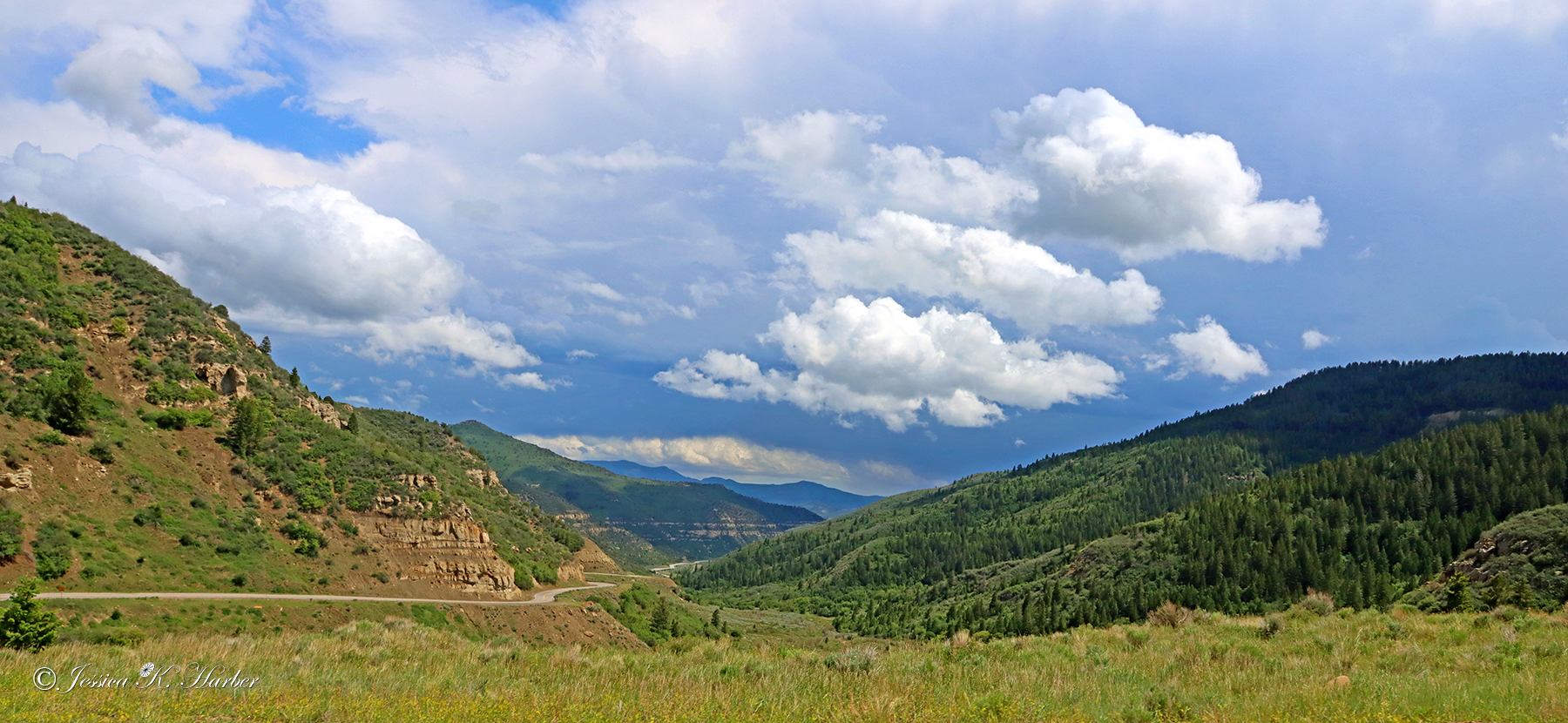
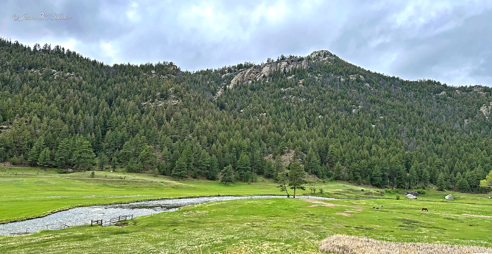
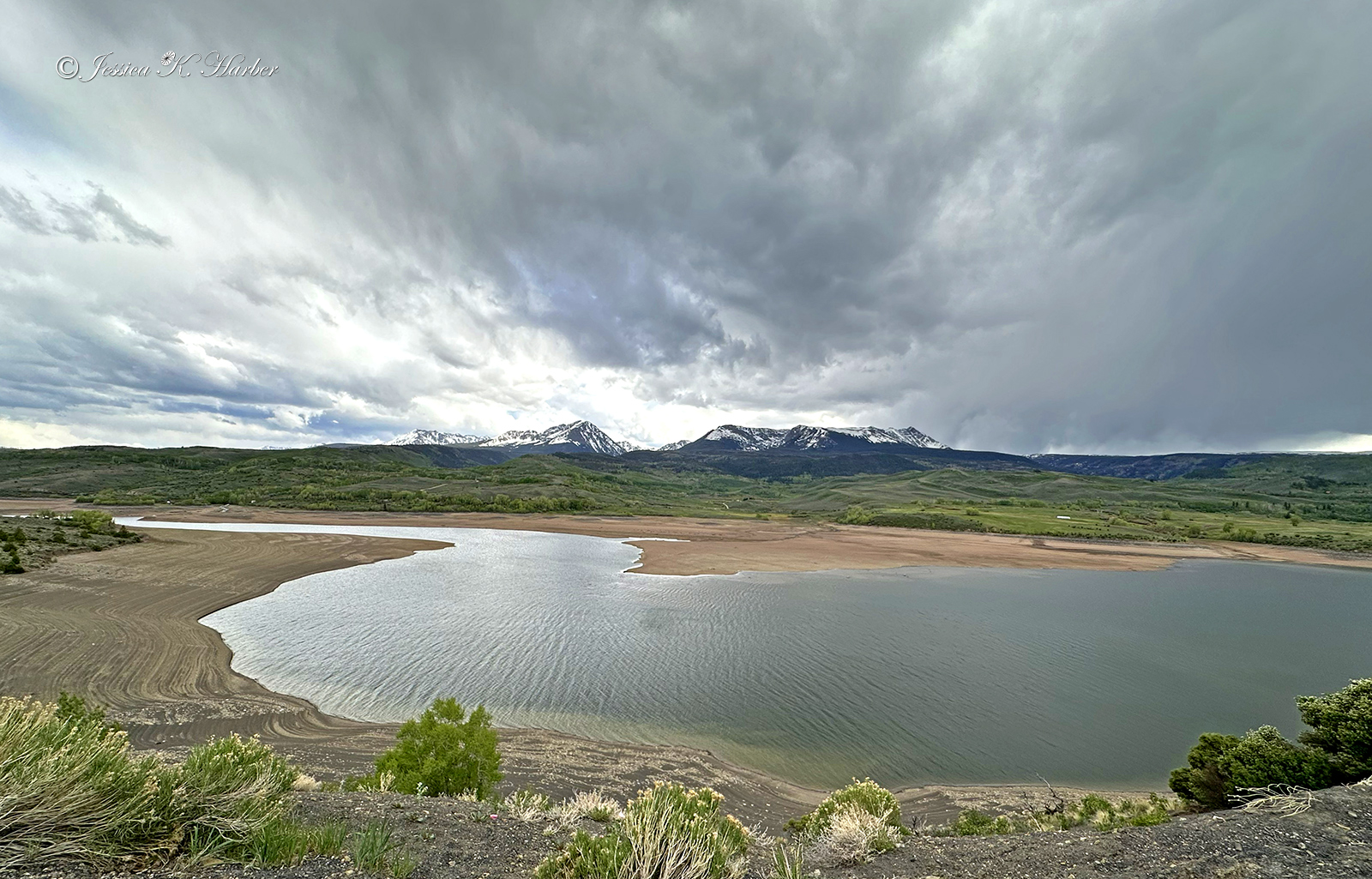
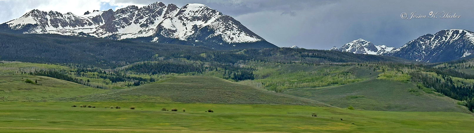
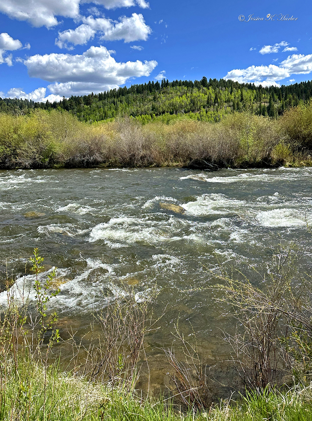
The next day brought beautiful Colorado views while traveling across the state. Having parted ways with my traveling companions, I enjoyed one of my prettier campsites next. The sound of rushing water along with Colorado views can’t be beat.
Two videos are below the photo gallery.
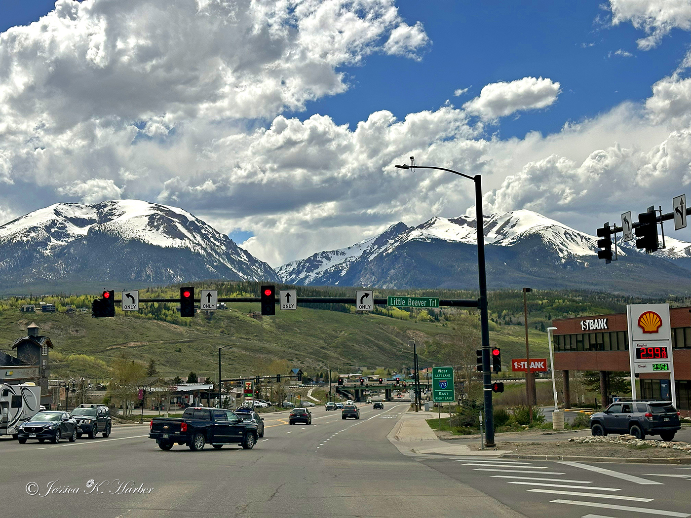
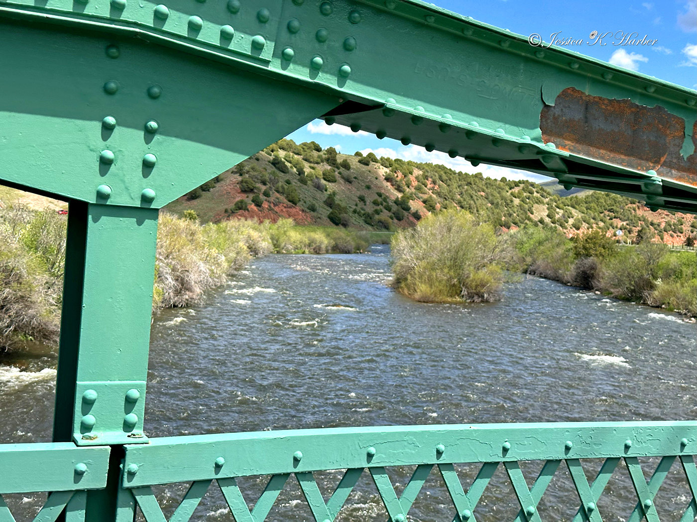
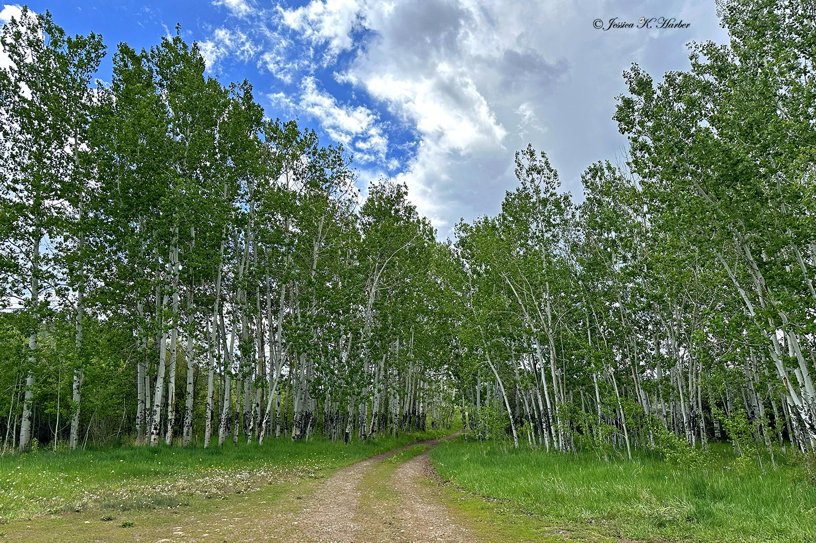
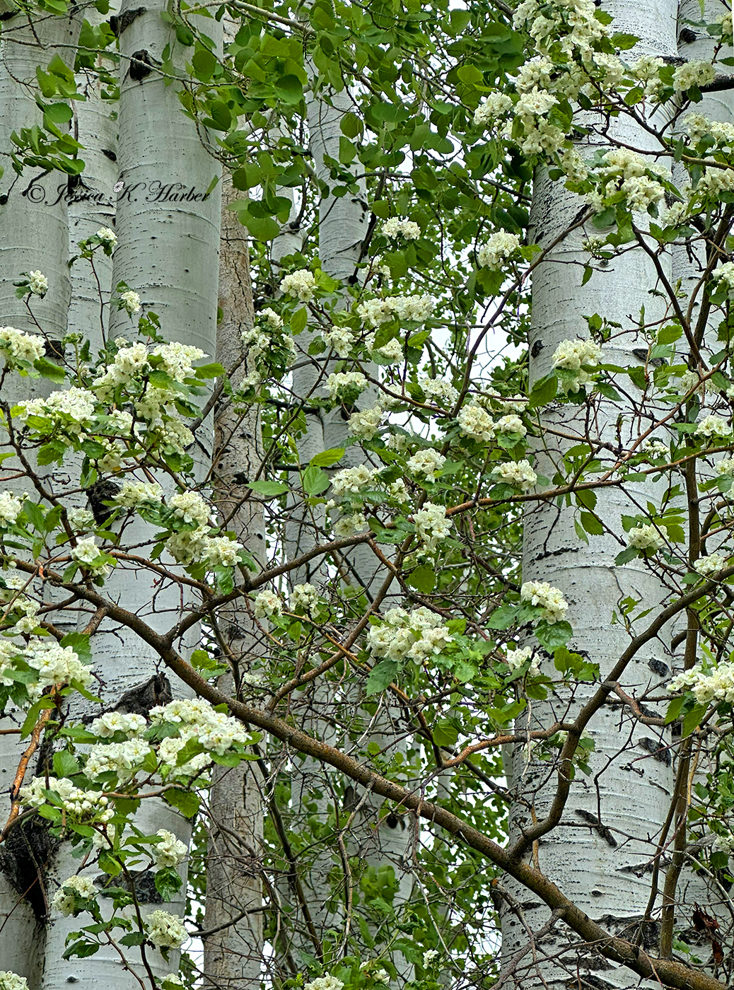
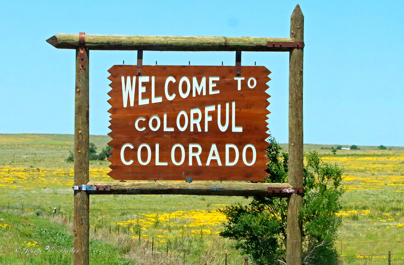
COLORADO. MAY.

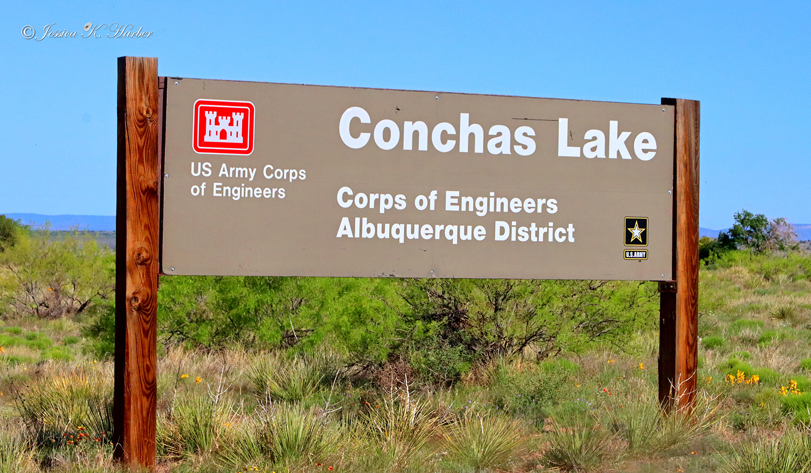
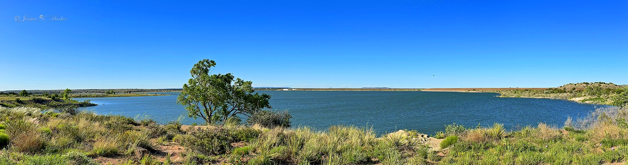
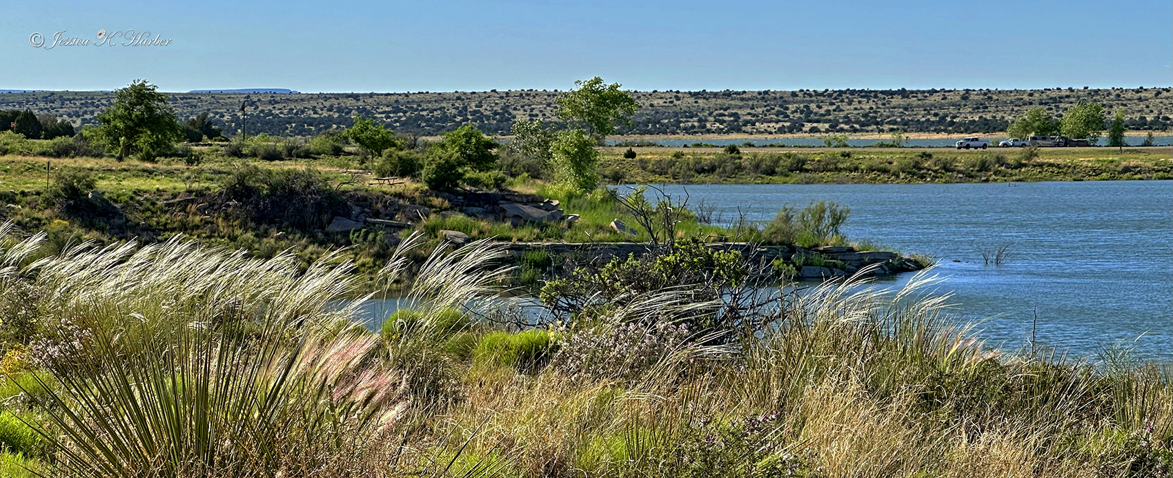
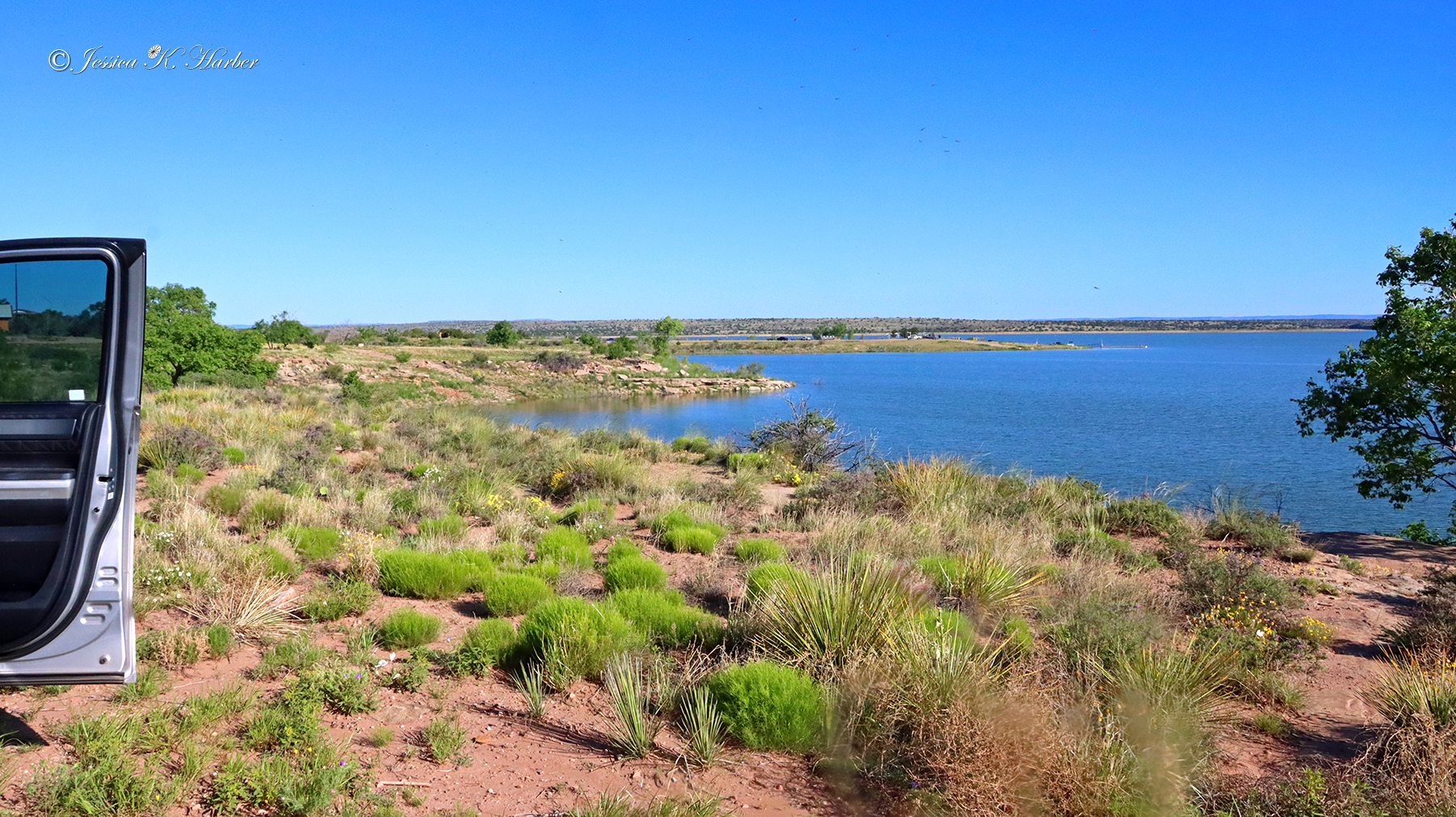
I used an app to find Conchas Lake Corp of Engineers campground in New Mexico on my way to Colorado. There were only a couple people camping there and I looked everywhere for a place to pay but couldn’t find one. So, I assumed they were not charging. ‘Site with a lake view for no charge was nice.
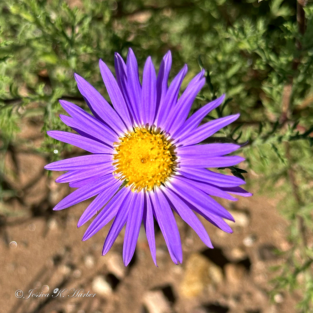
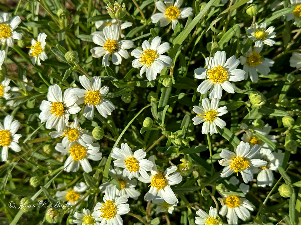
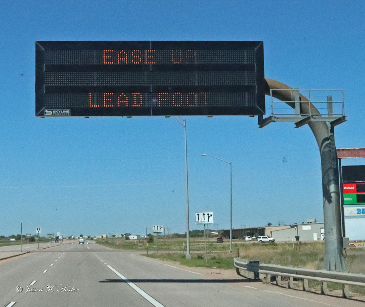
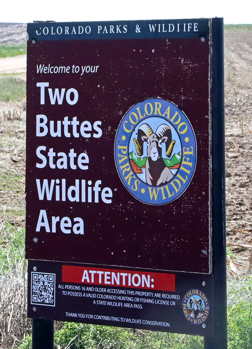
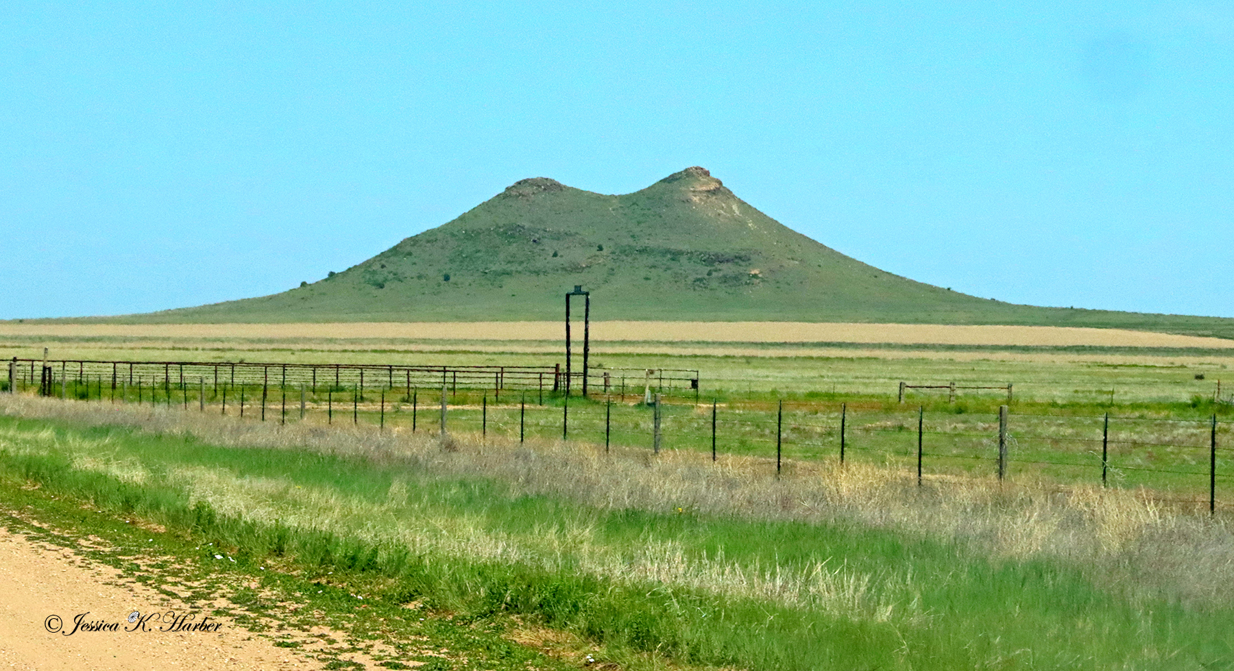
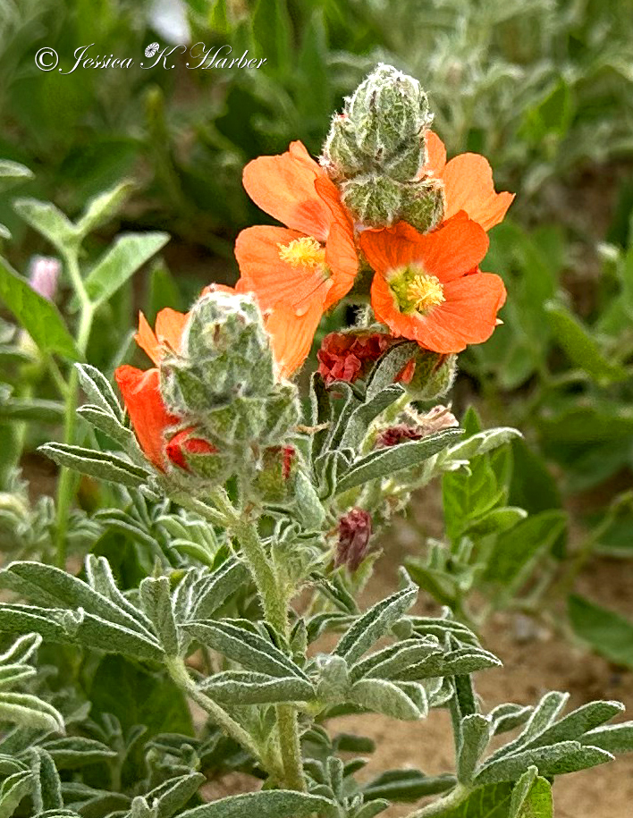
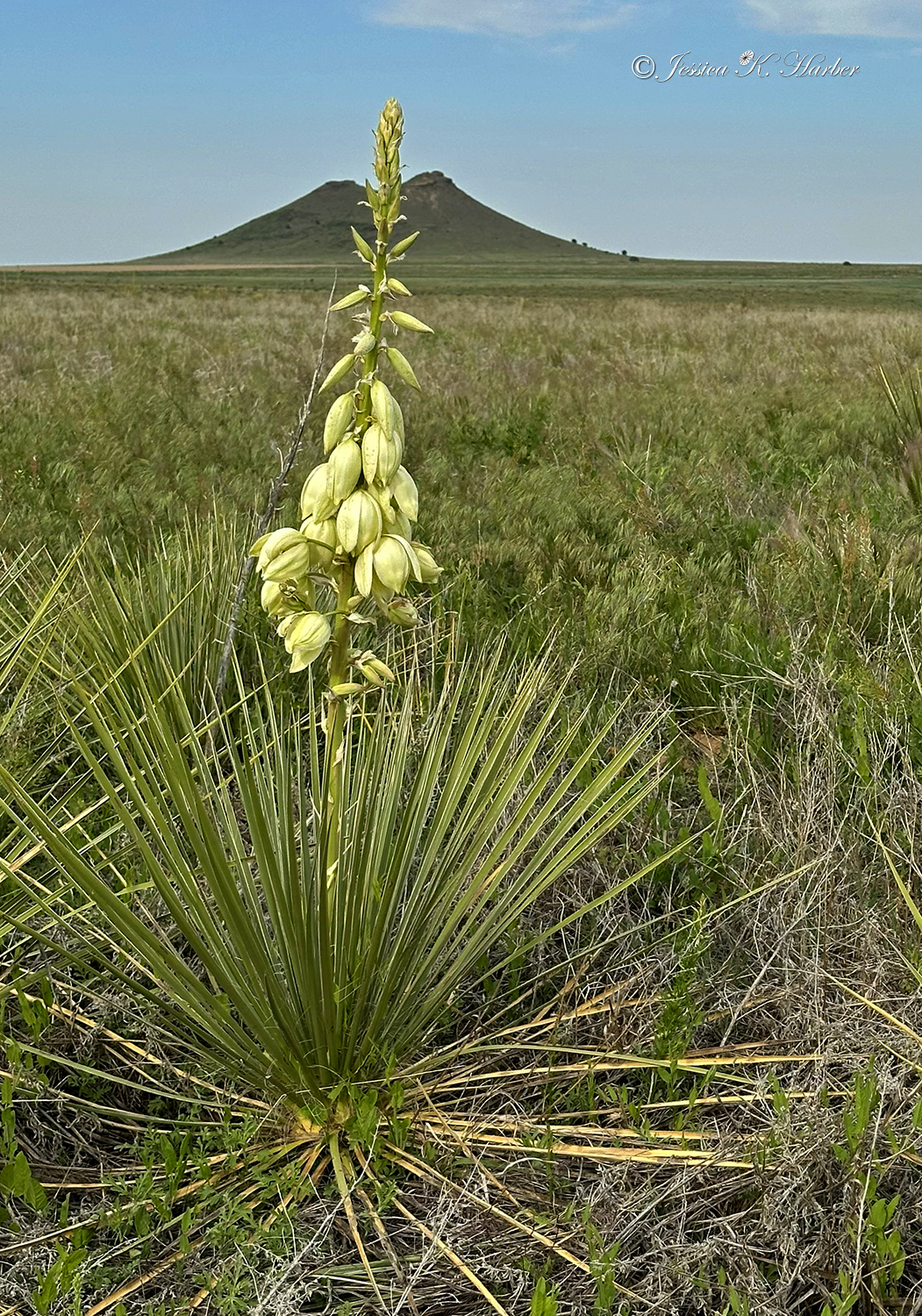
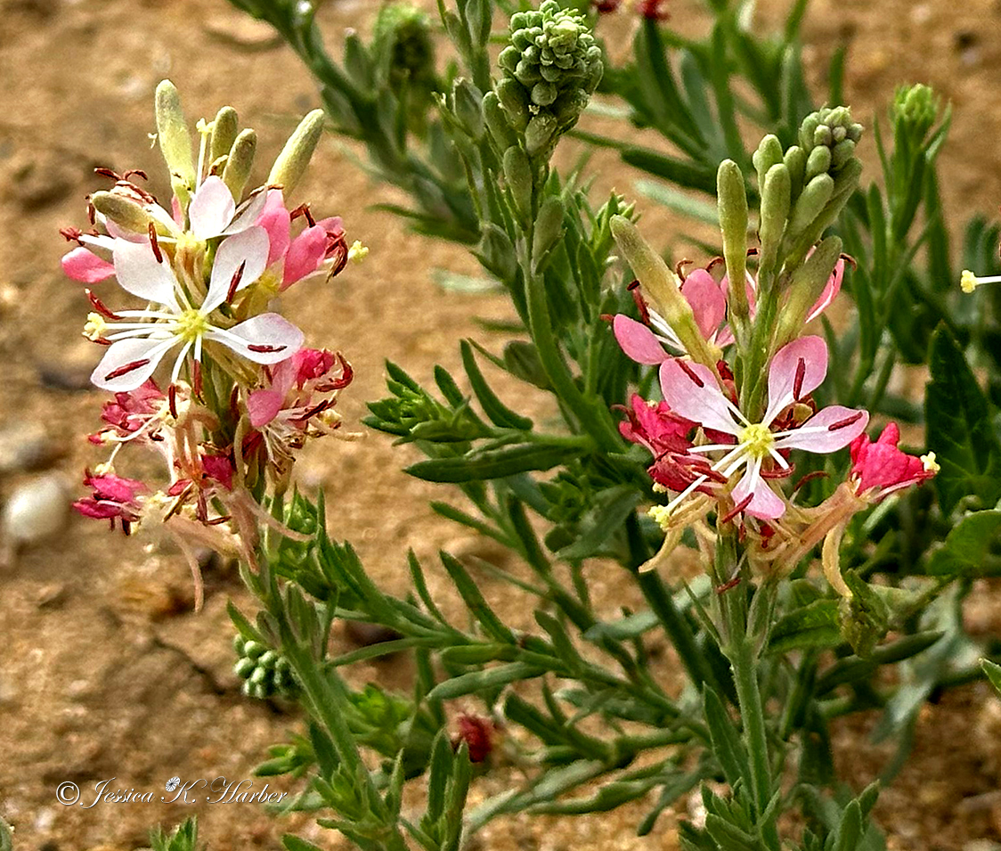
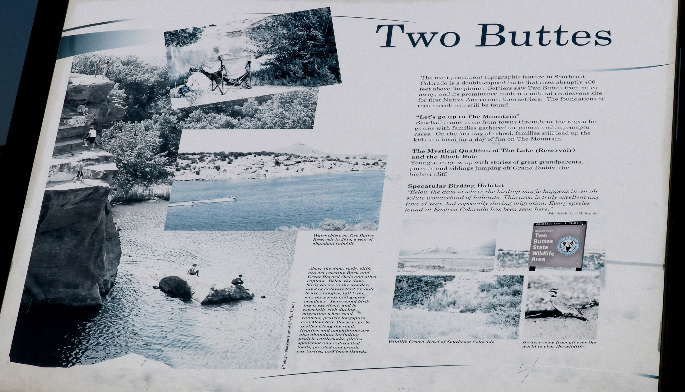
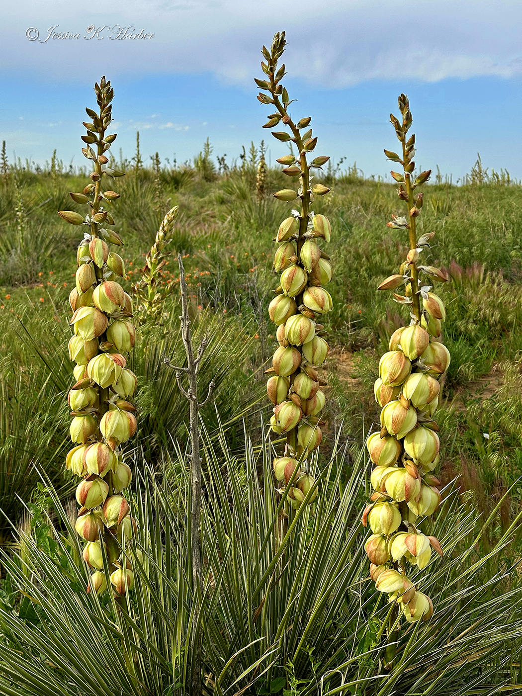
I headed into Colorado next and found a camping site at Two Buttes State Wildlife Area. This site was in the middle of nowhere and it was wonderfully quiet and surrounded by wildflowers. I stayed for a few nights and saw one other human.
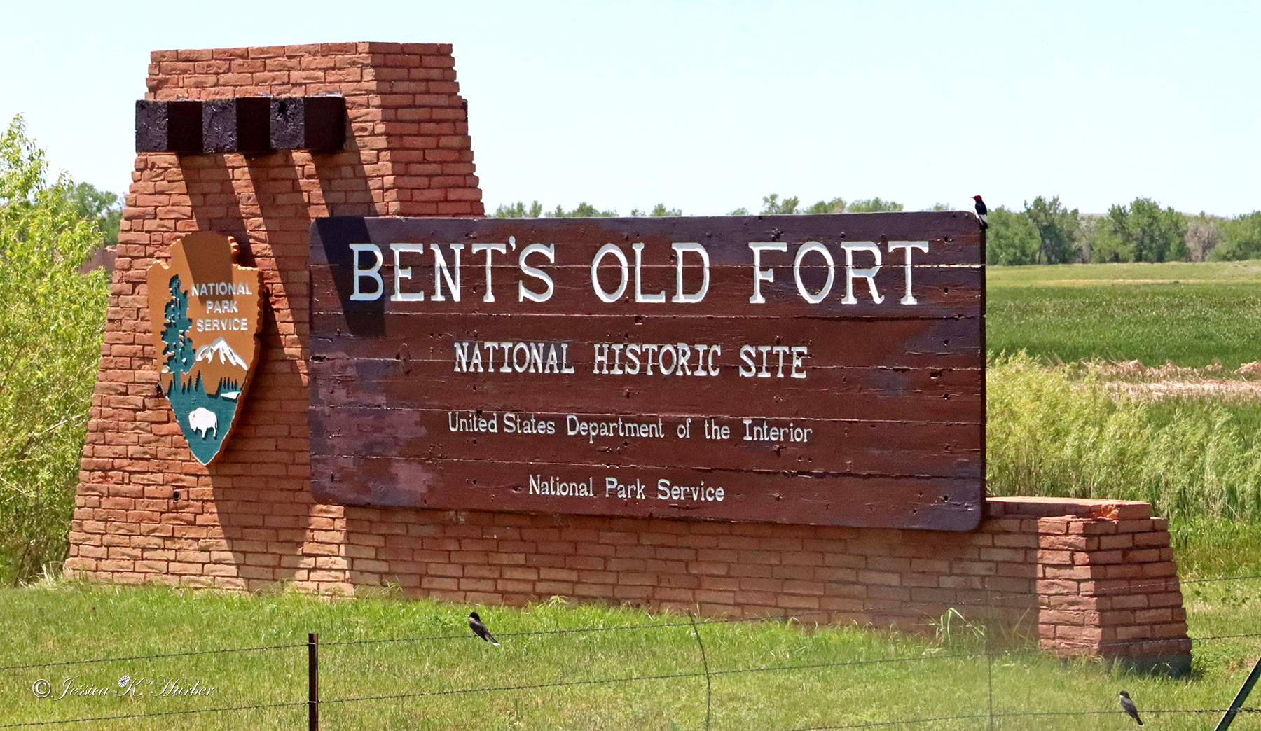
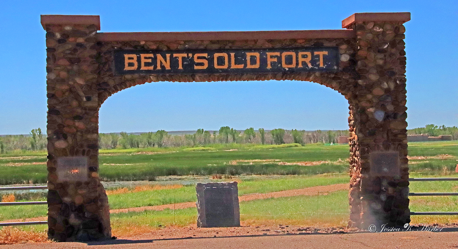
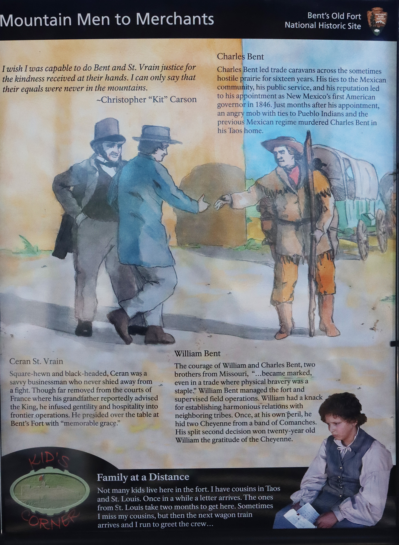
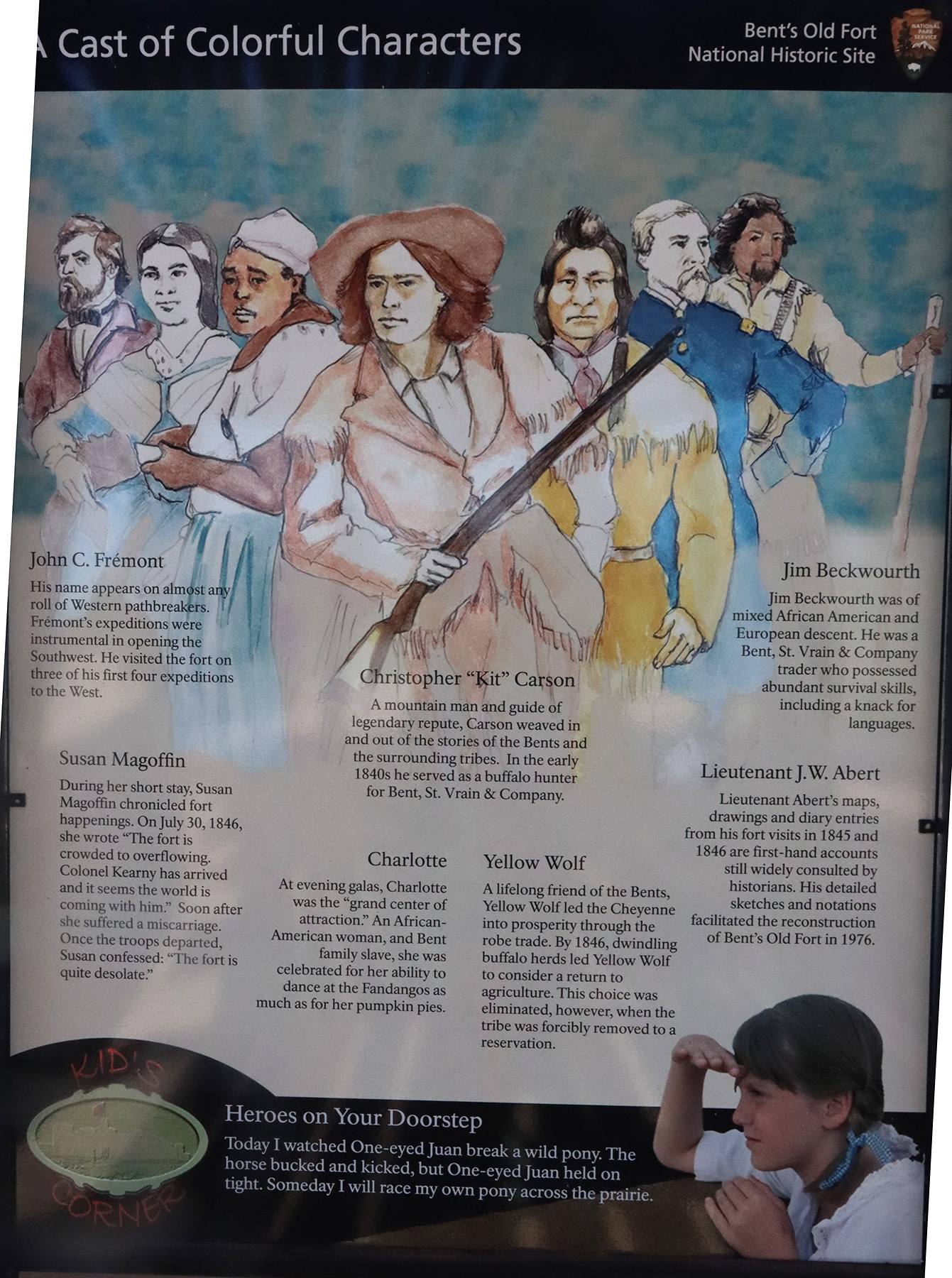
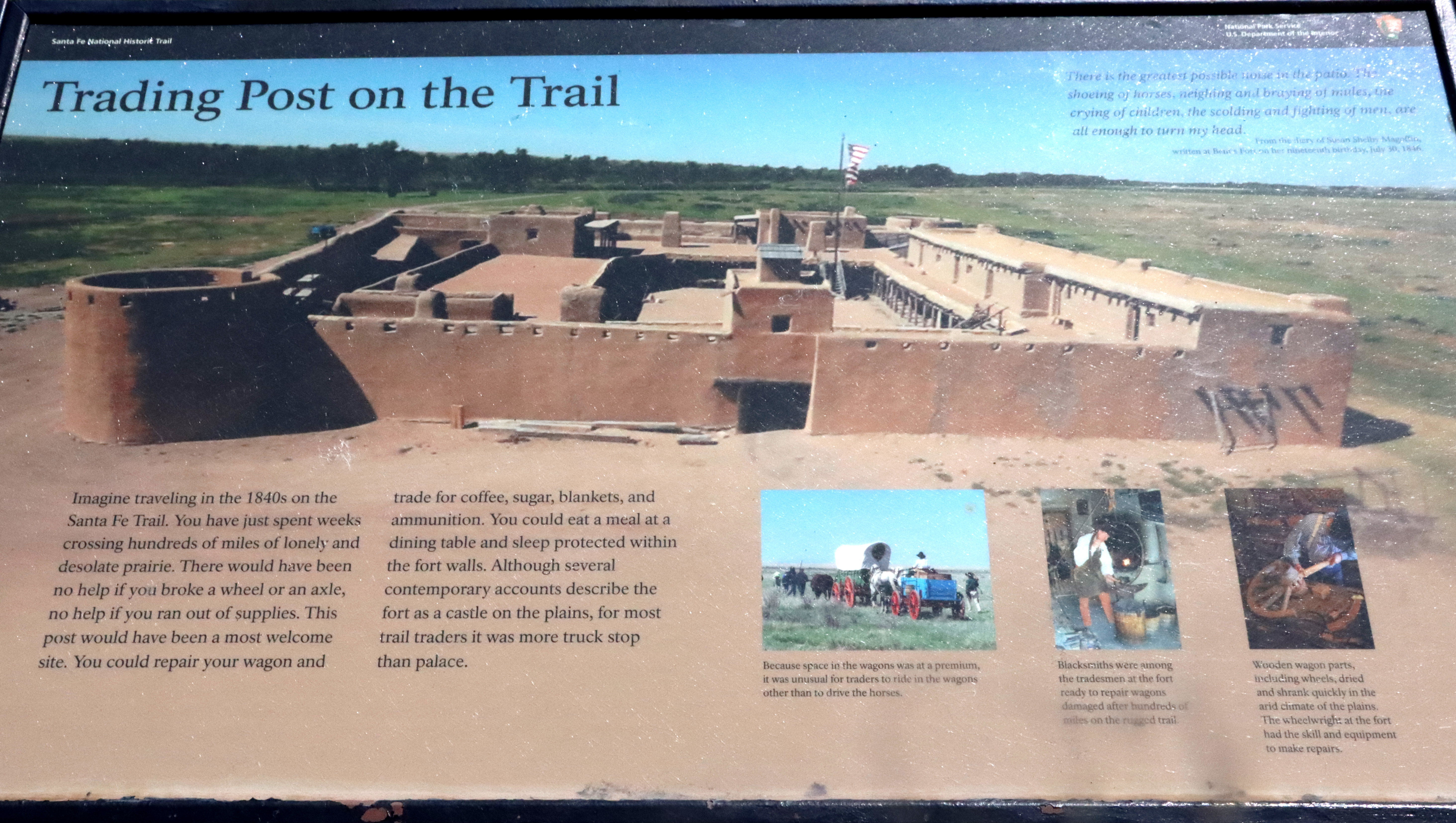
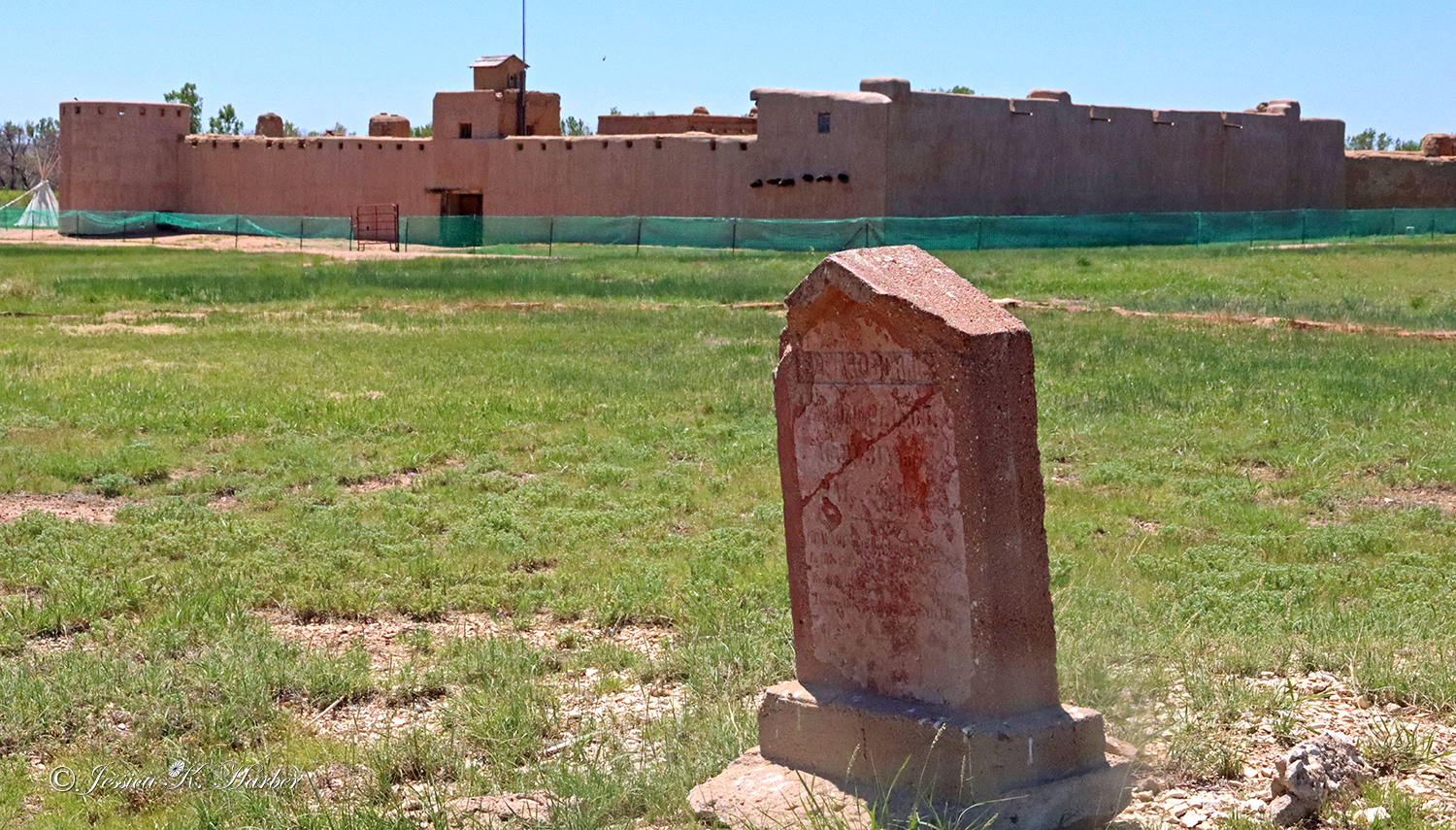
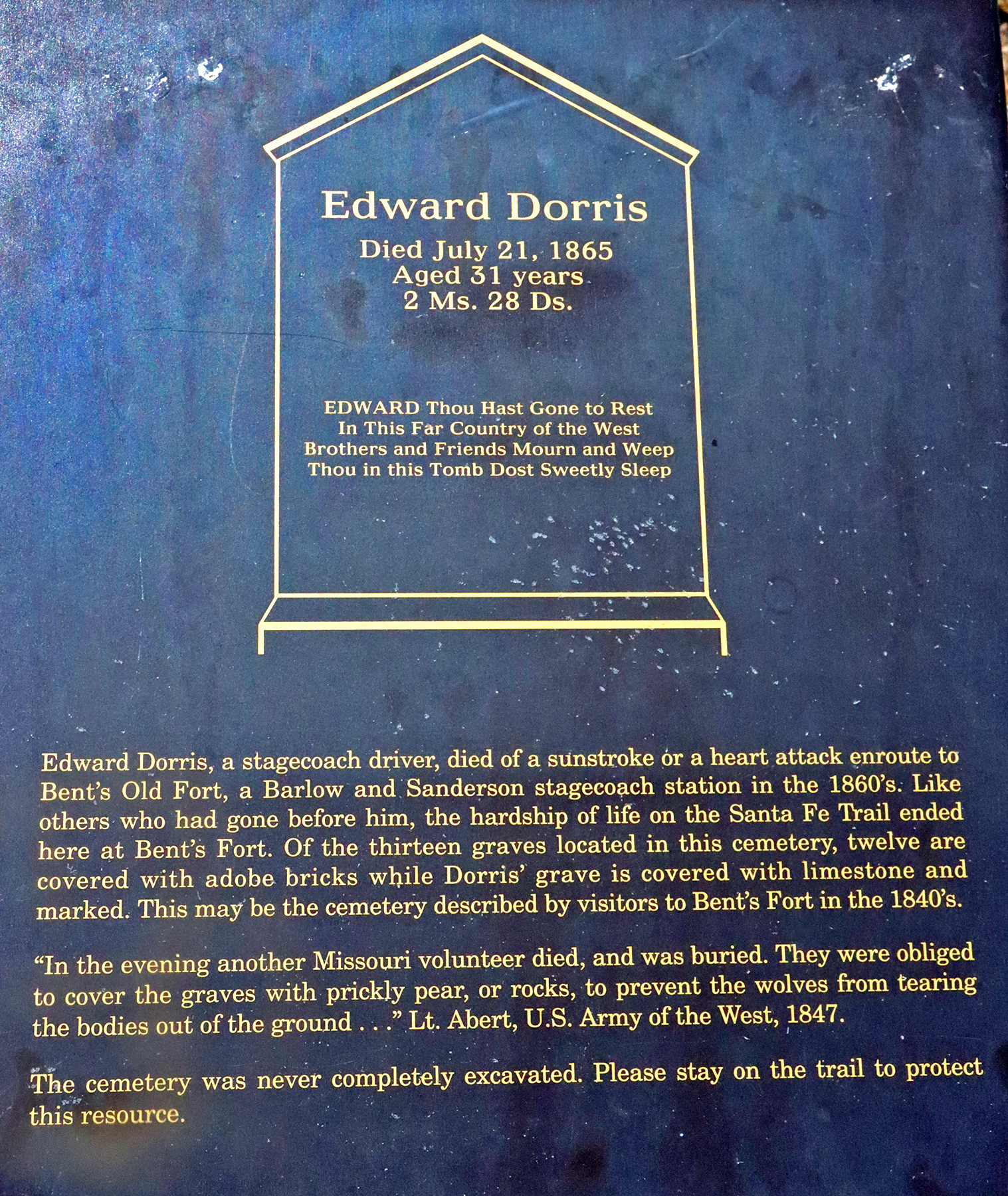
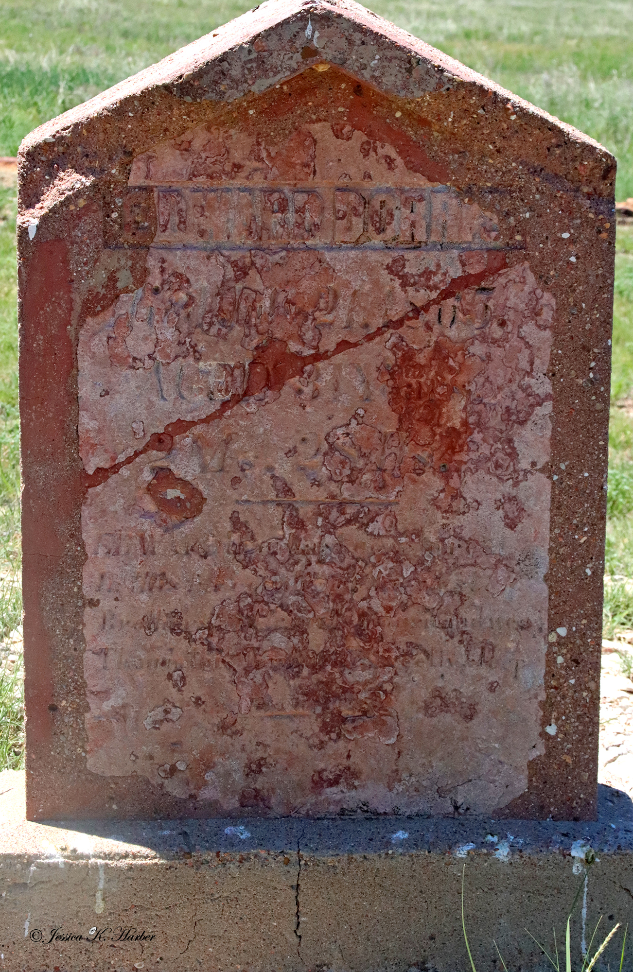
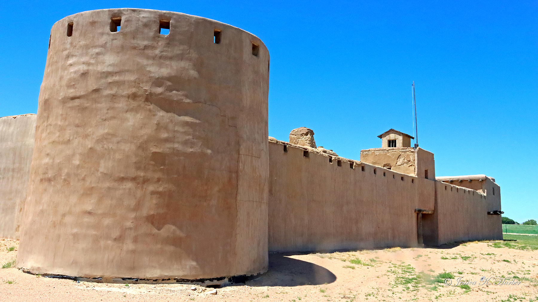
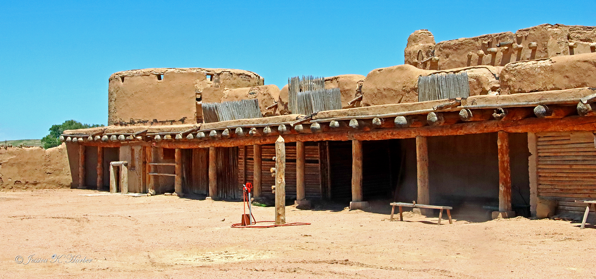
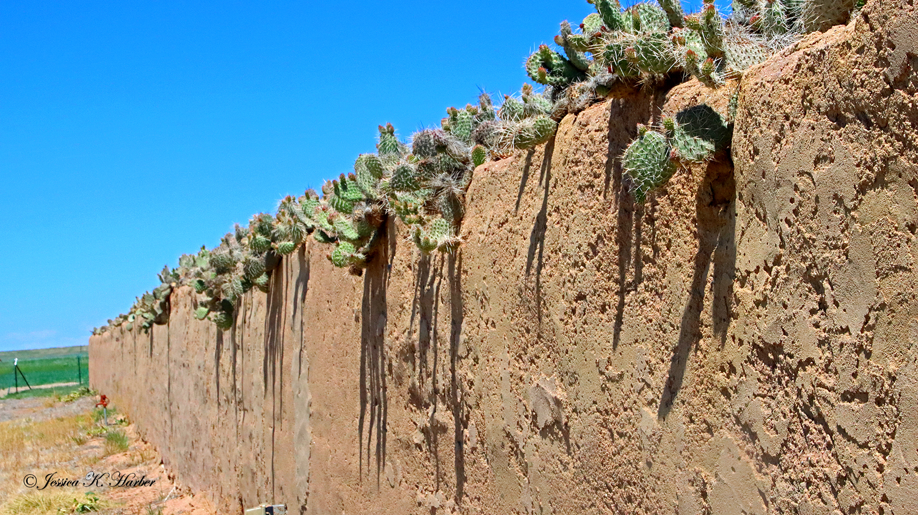
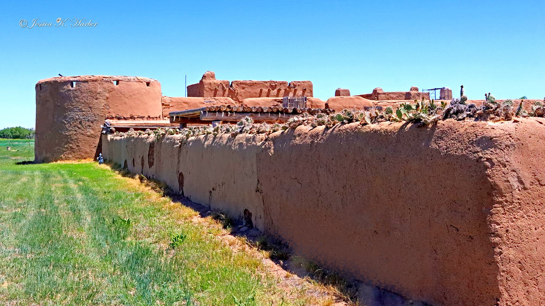
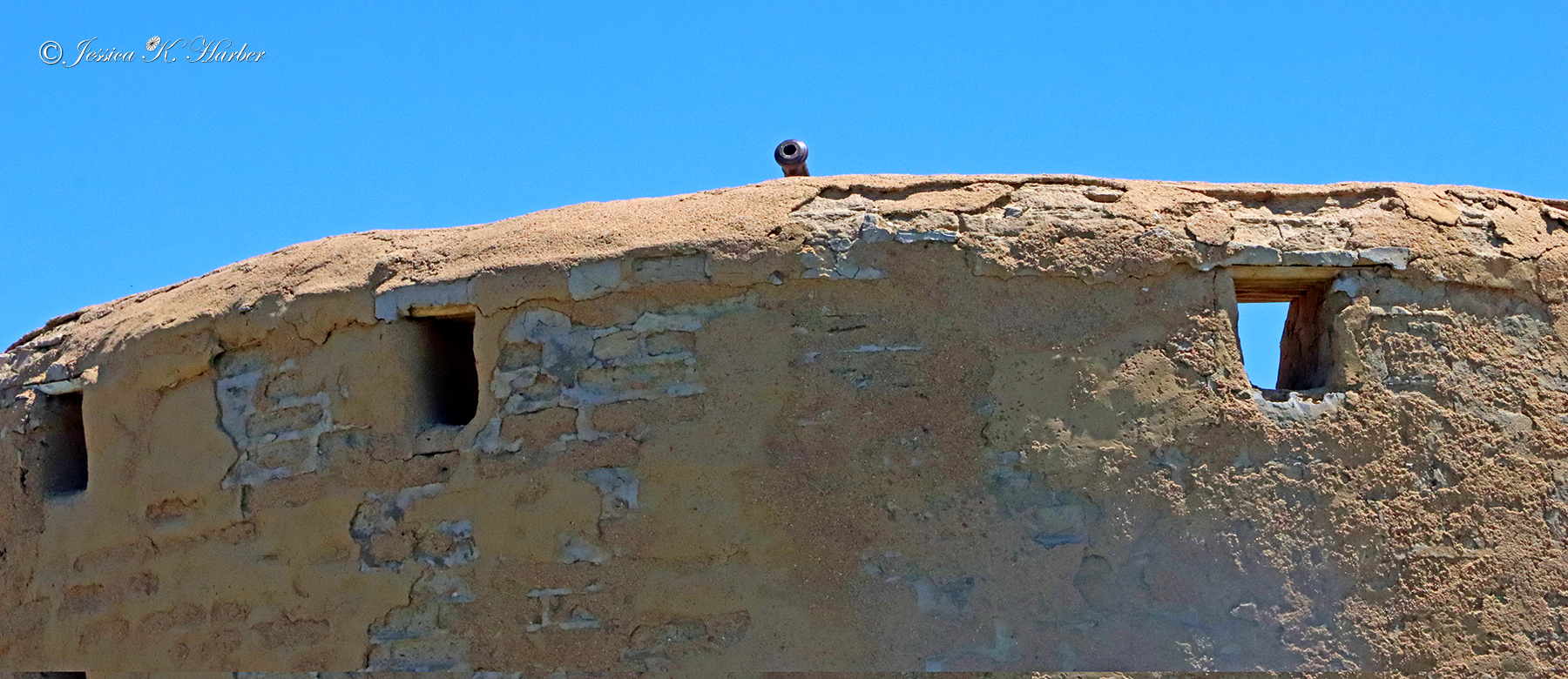
I stopped by Bent’s Old Fort National Historic Site, a former trading post on the Santa Fe Trail. Unfortunately, it was closed but it was worth a stop to read their kiosks and walk around the outside of the Fort. I would have enjoyed exploring this site; maybe another time.
Video at bottom of post, below gallery.
NEW MEXICO/COLORADO. MAY.

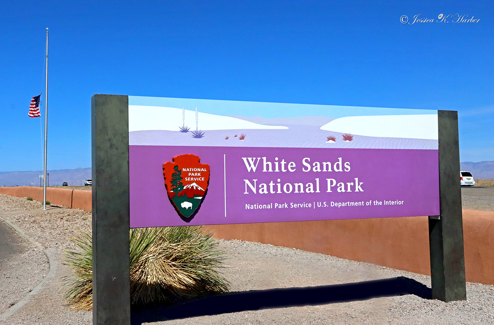
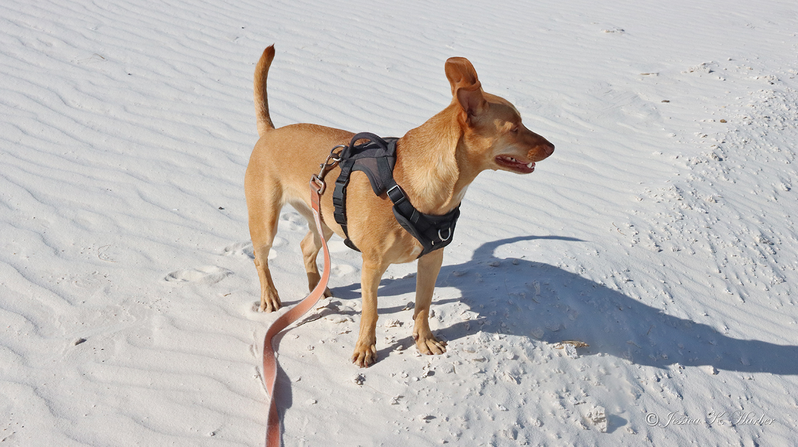
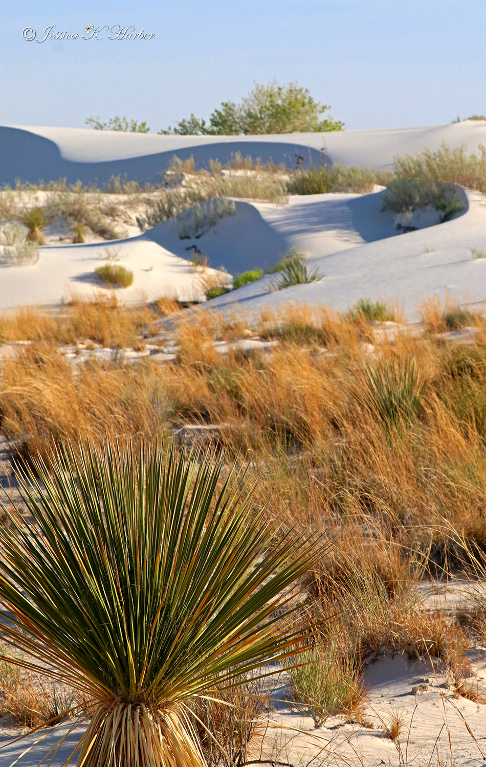
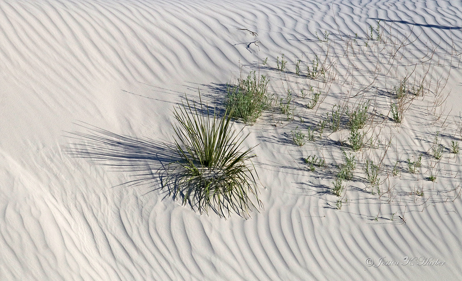
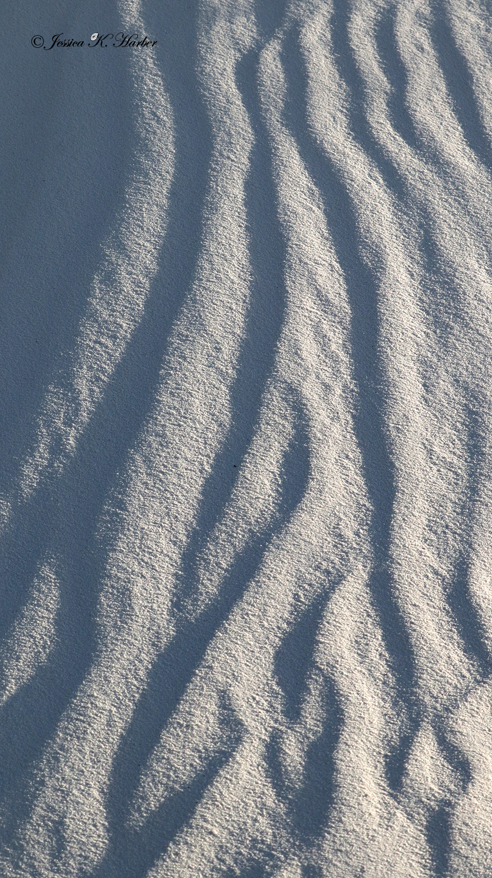
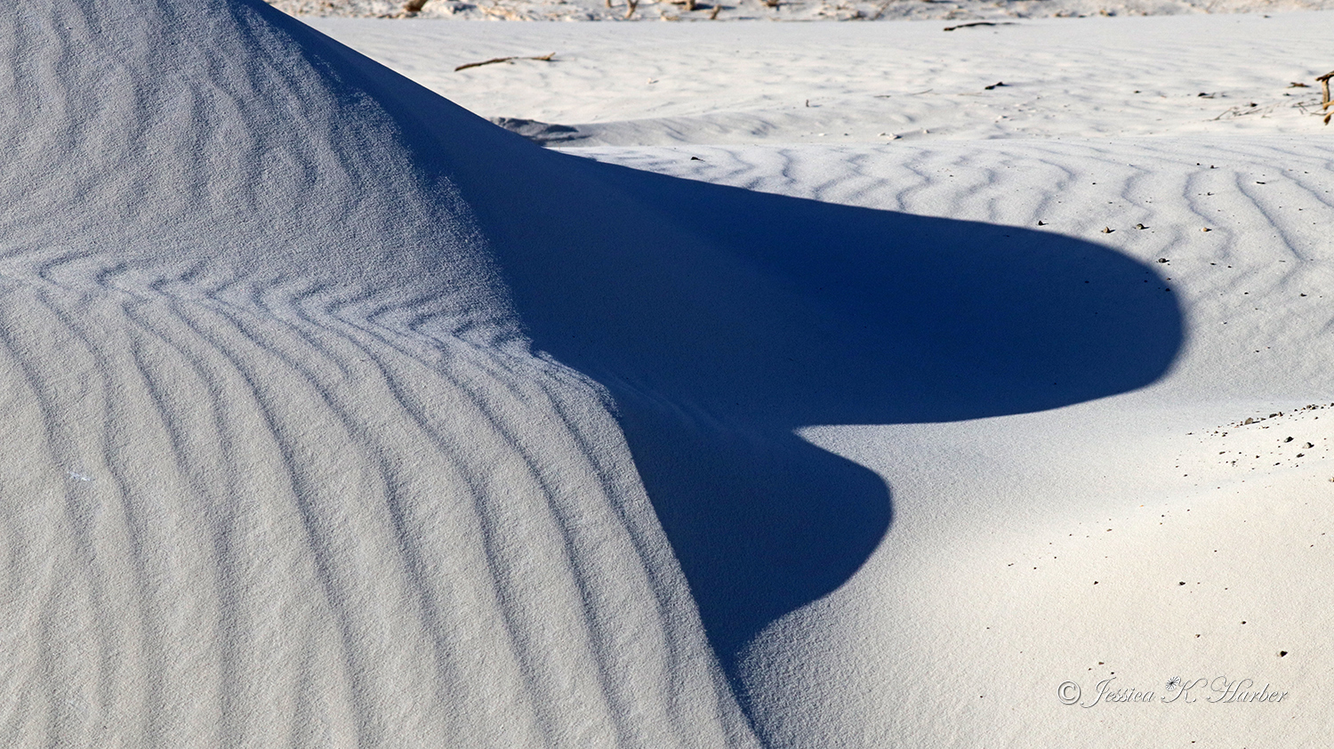
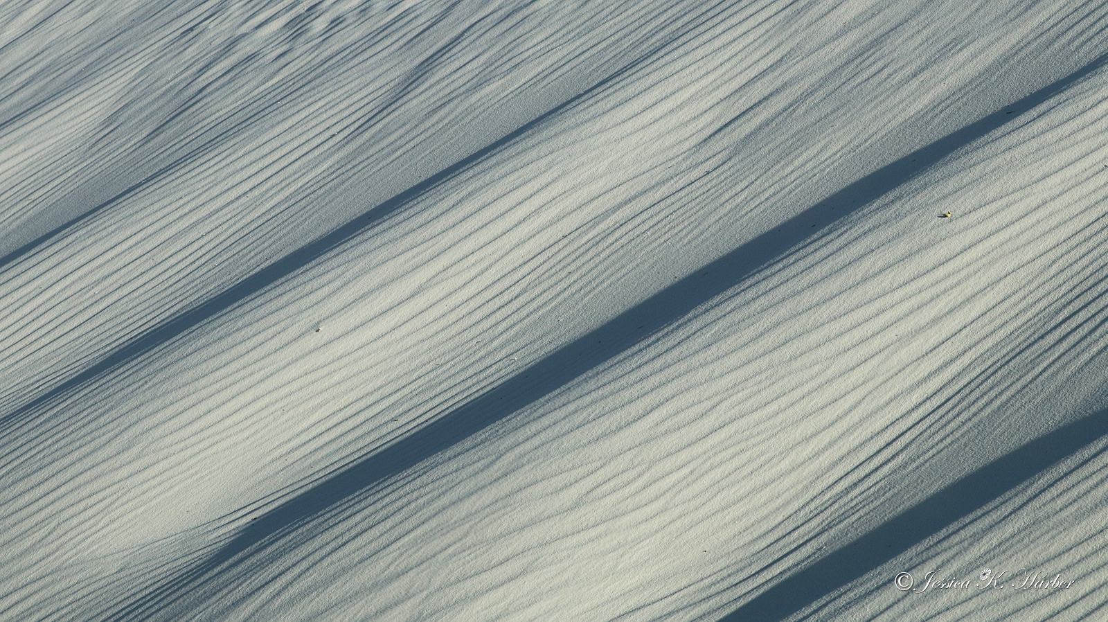
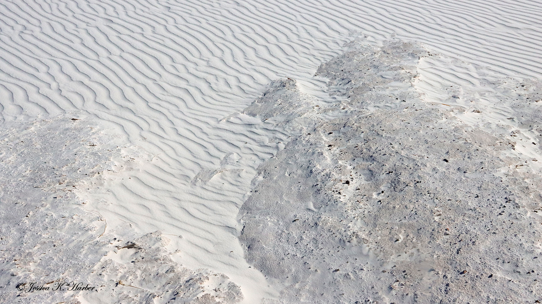
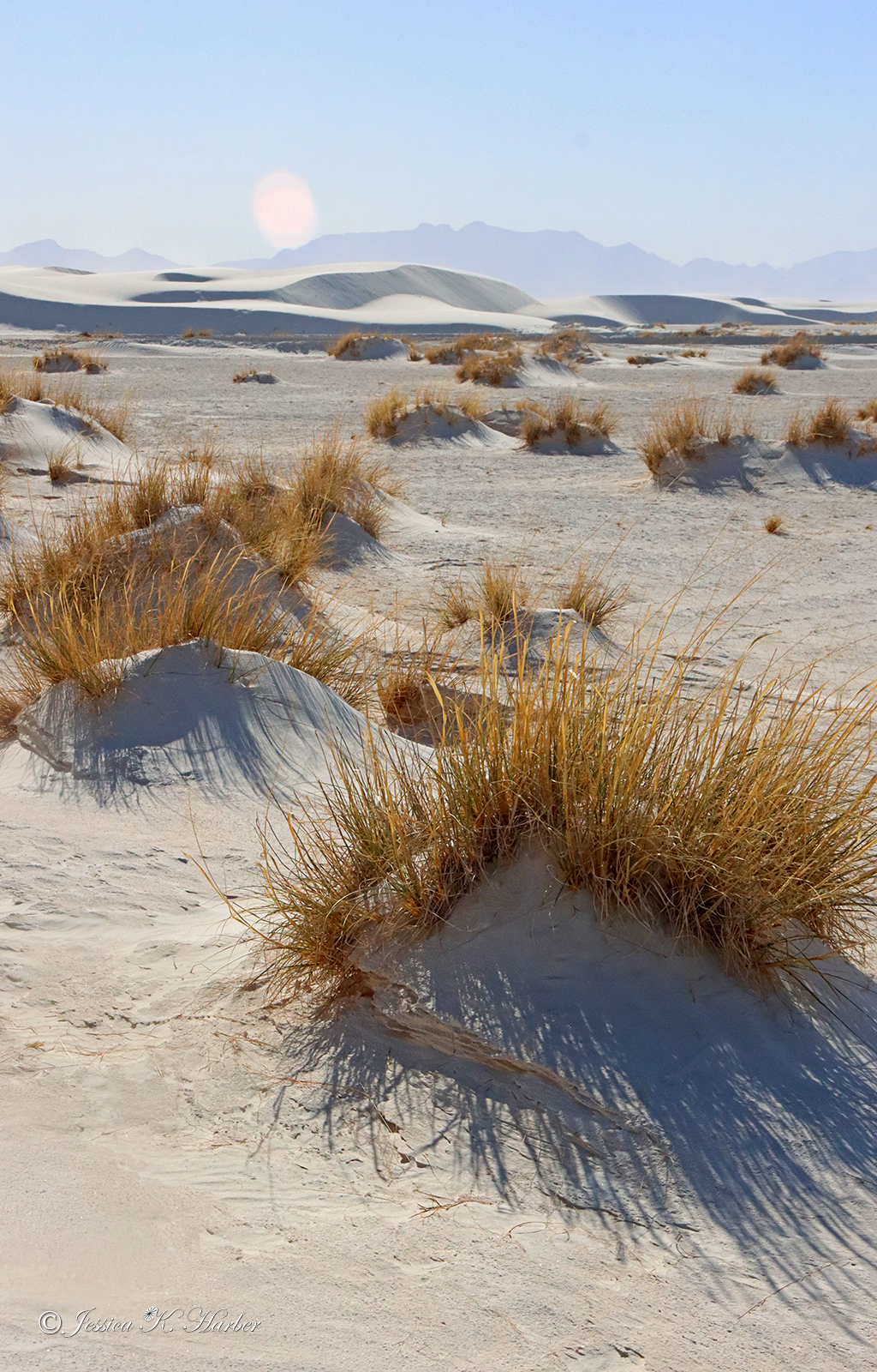
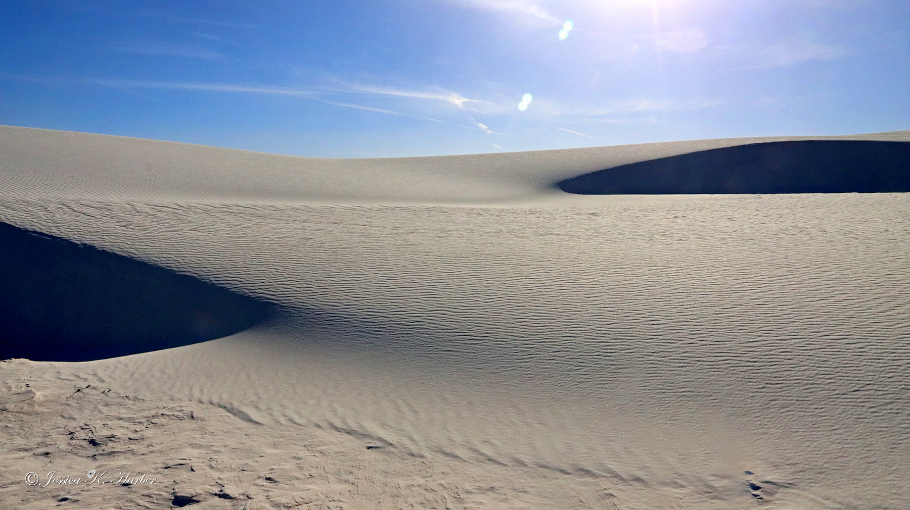
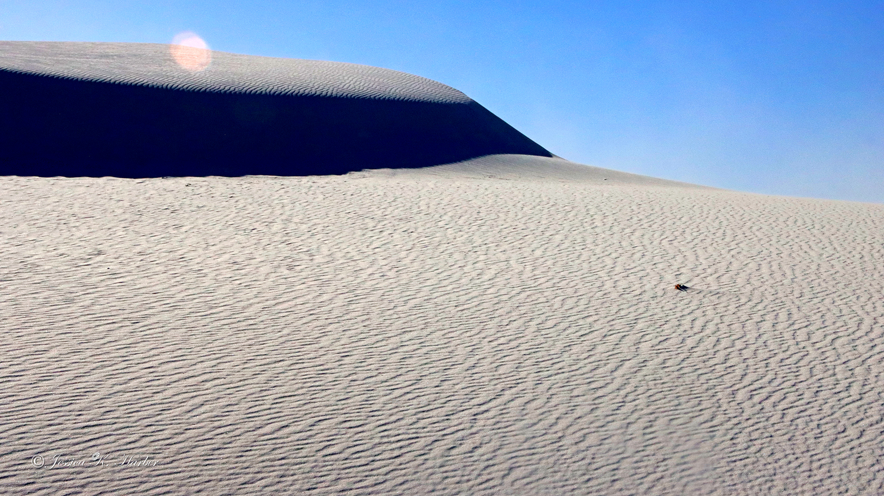
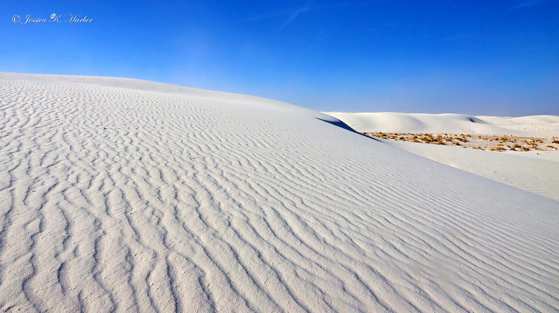
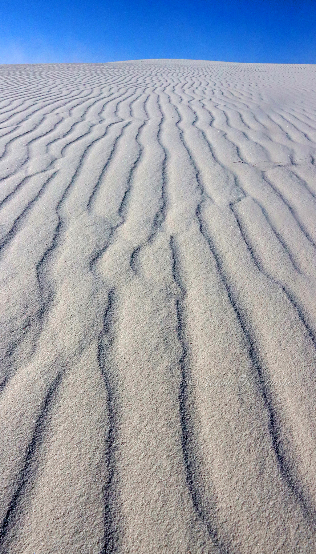
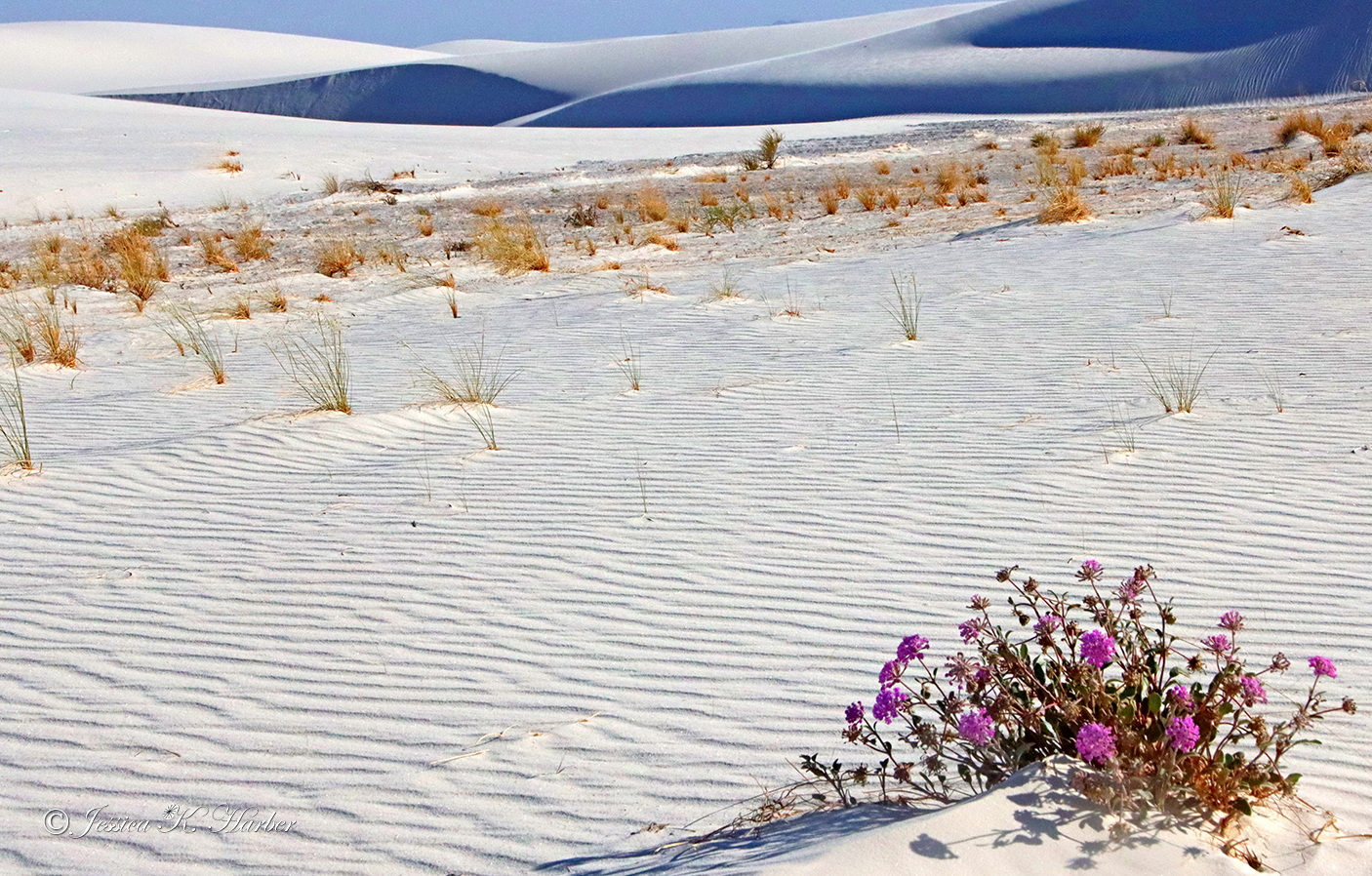
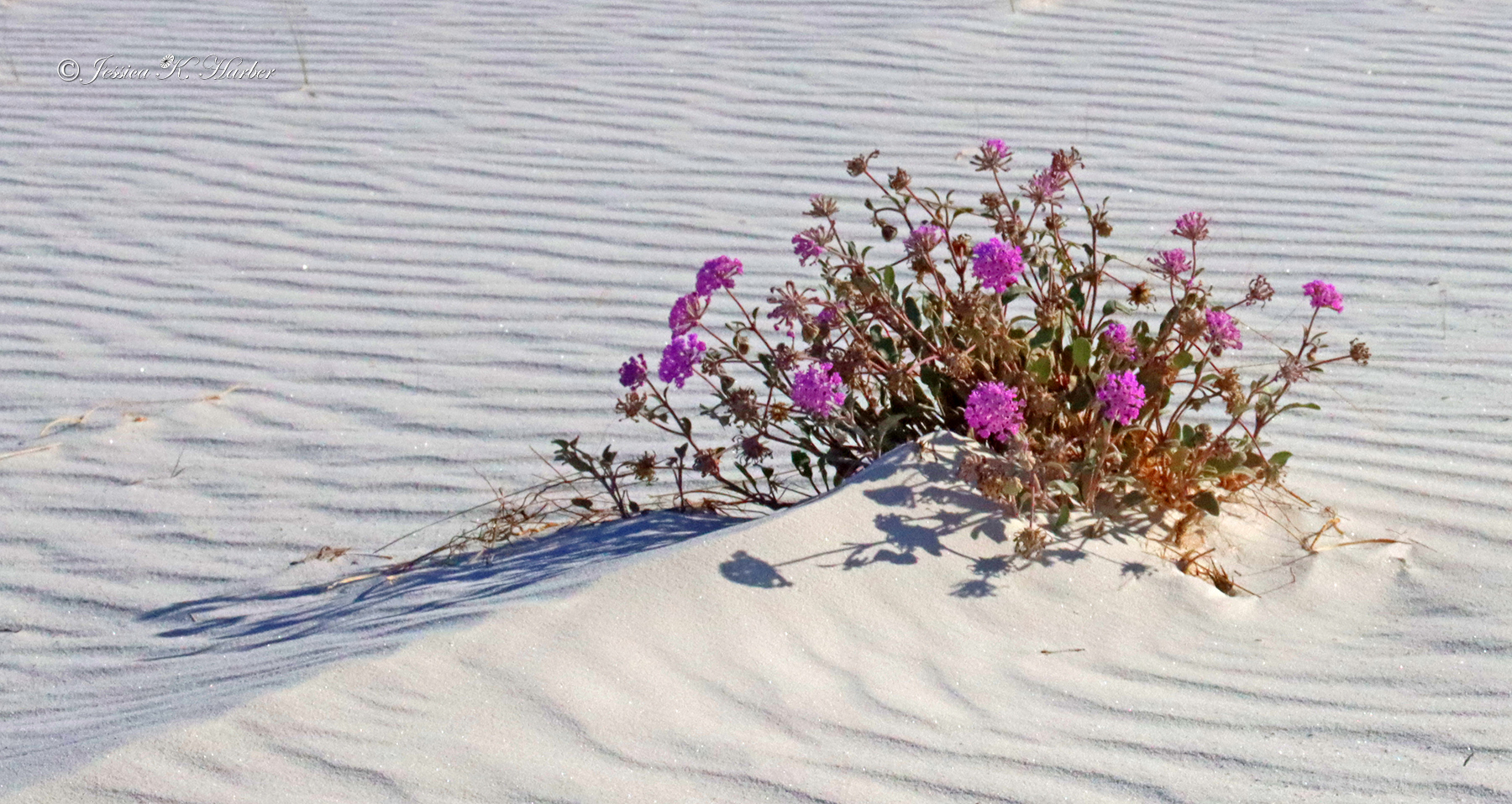
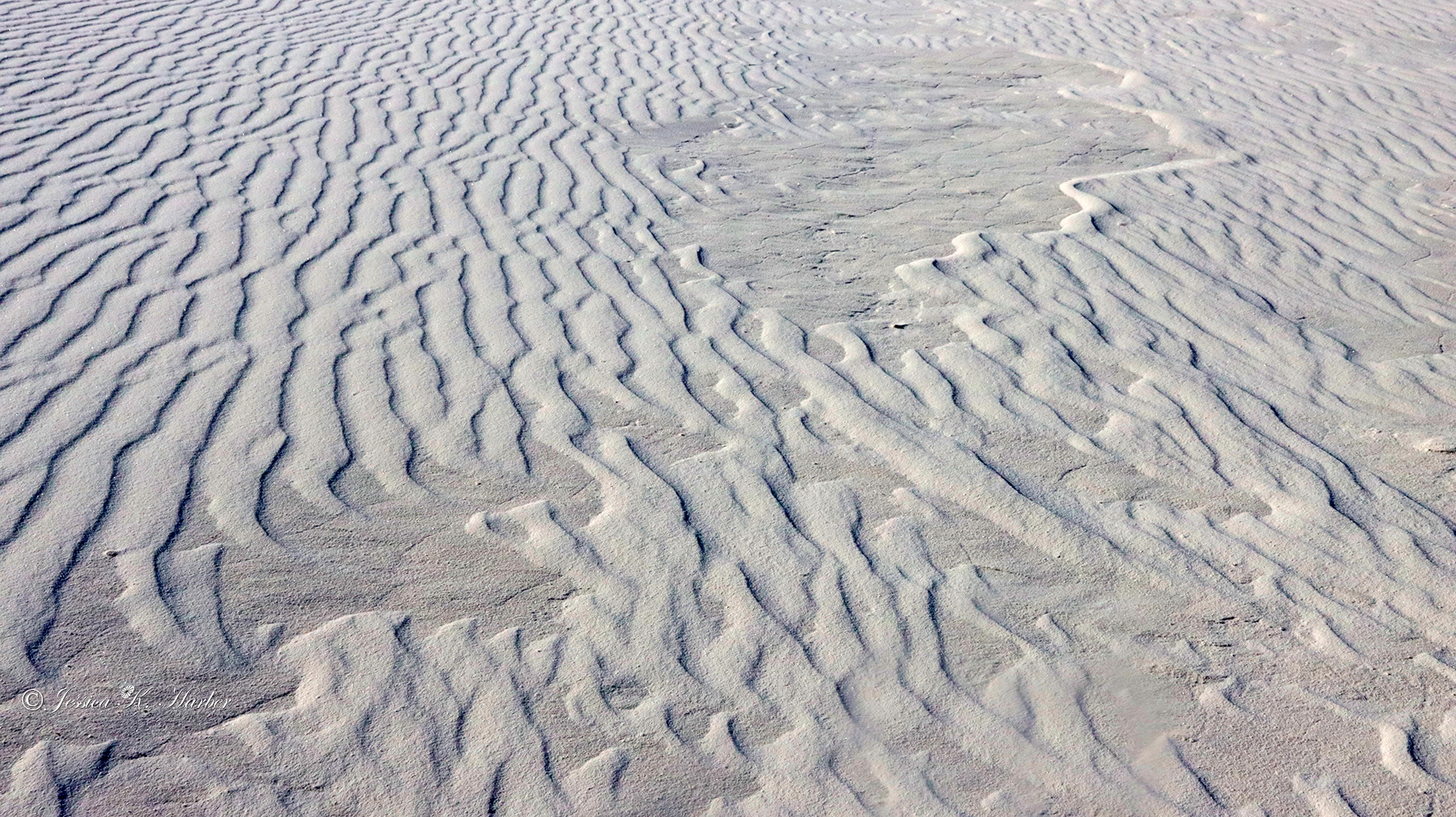
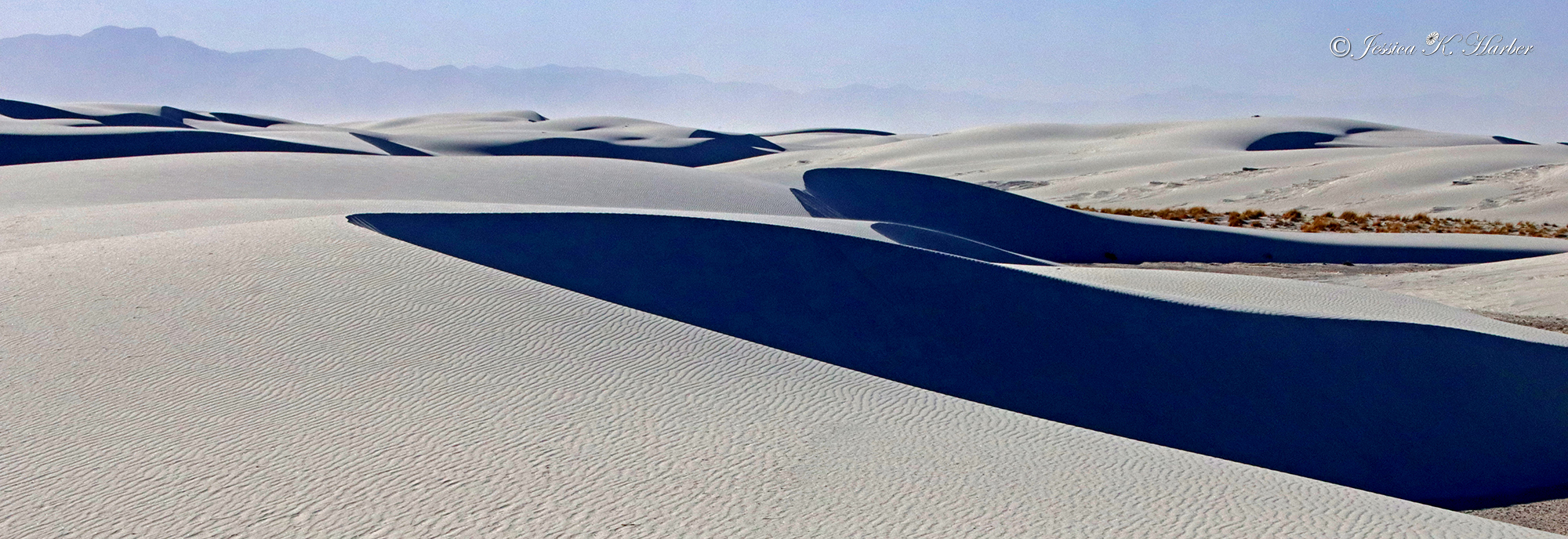
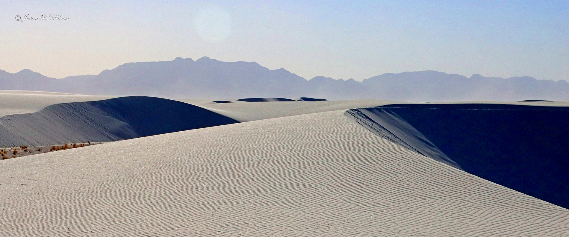
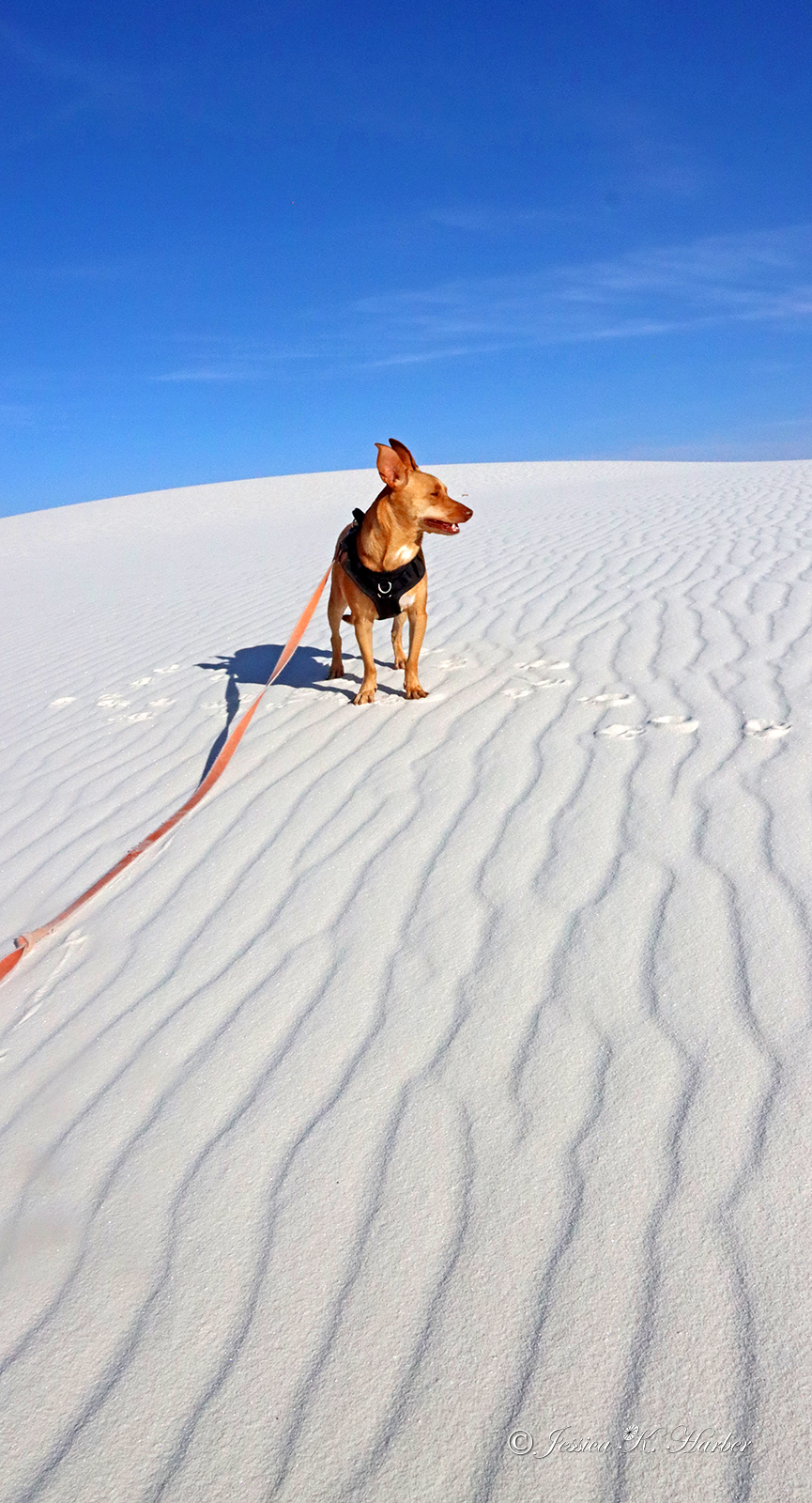
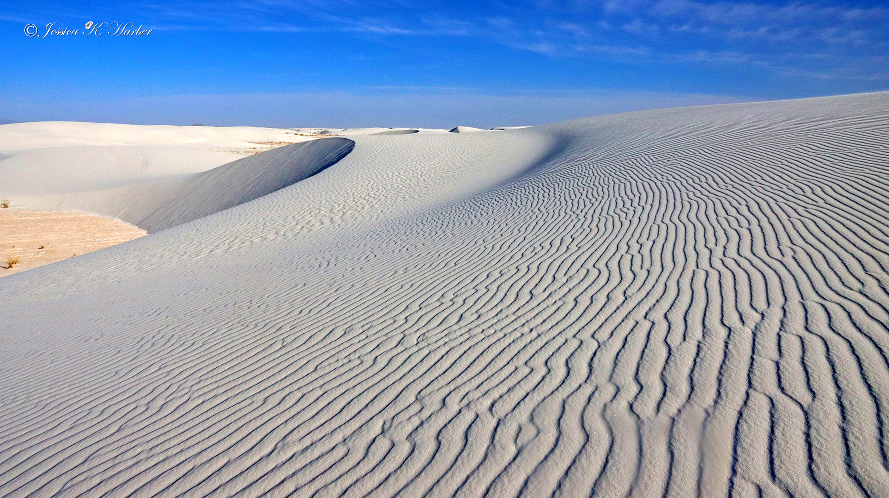
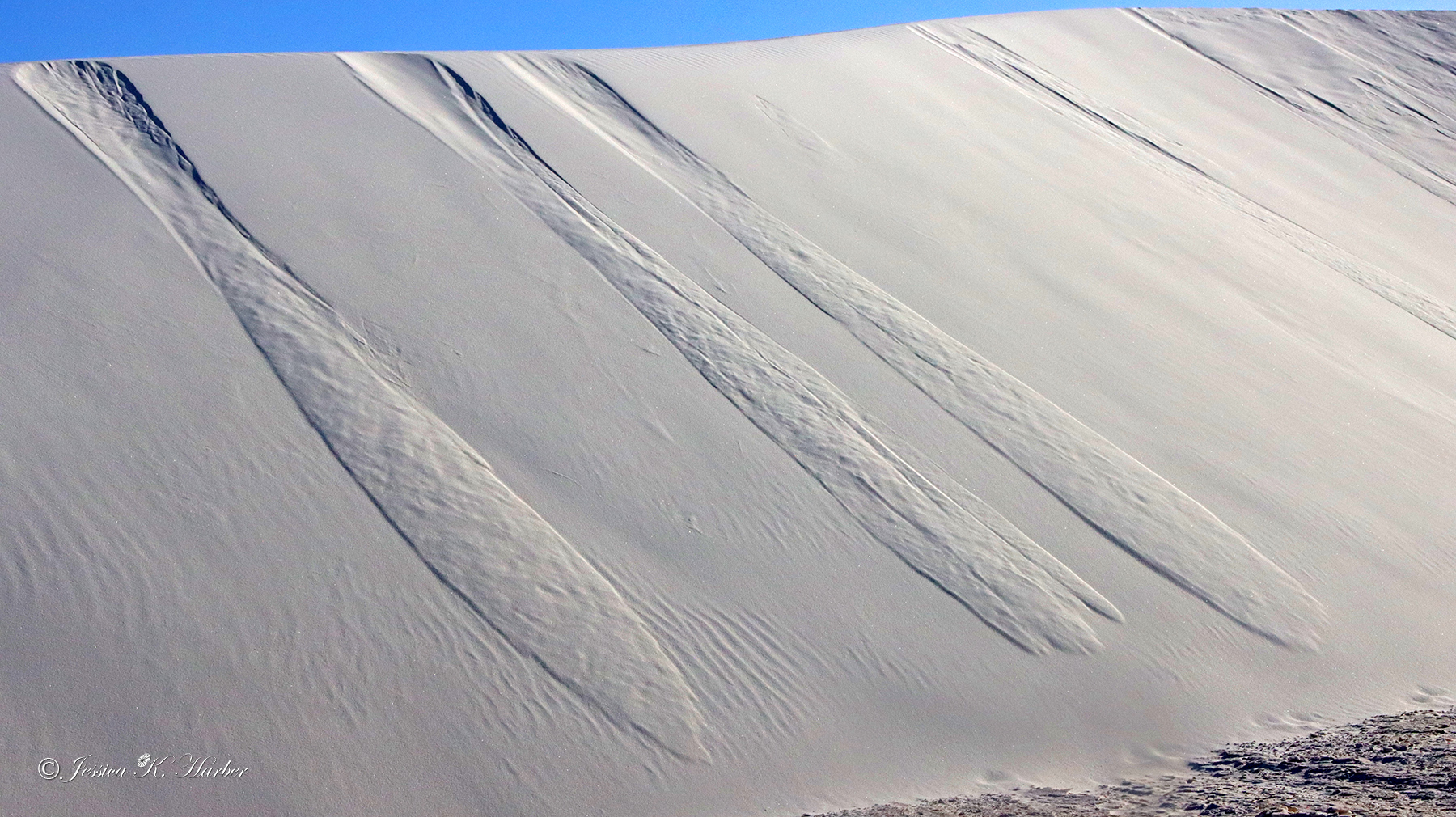
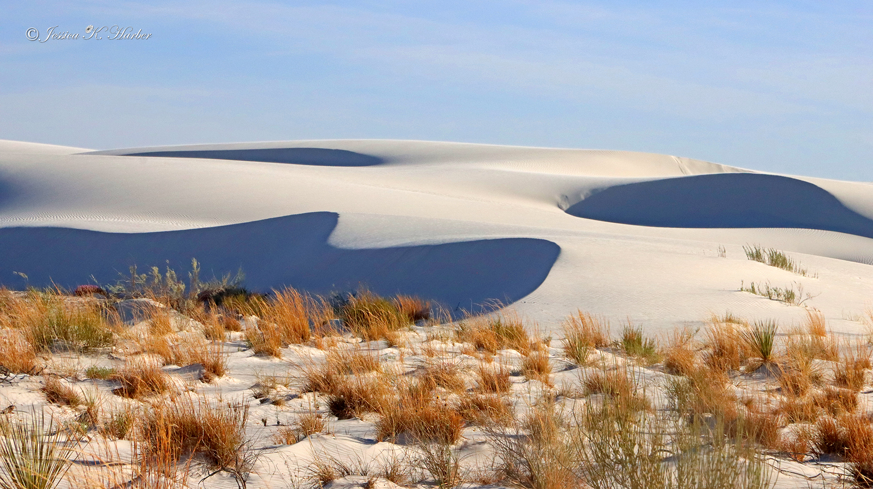
Next was White Sands National Park. There is a small but good visitor’s center that includes a film about the Park. I always see the Park film if there is one. It’s usually a good way to get an overall picture of the Park and/or to learn about its history. They are always free. The staff was also nice about answering several questions I had.
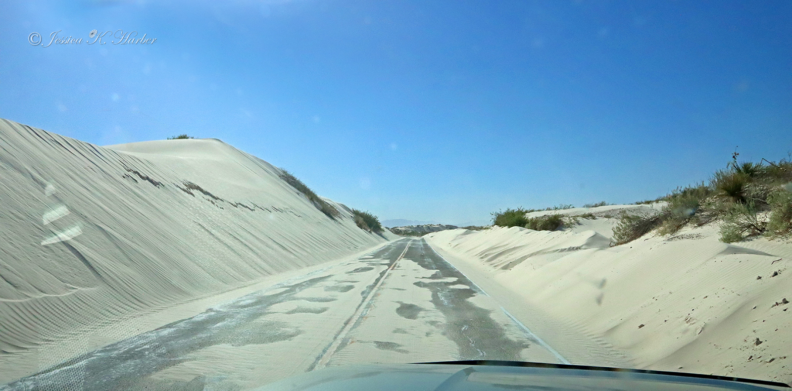
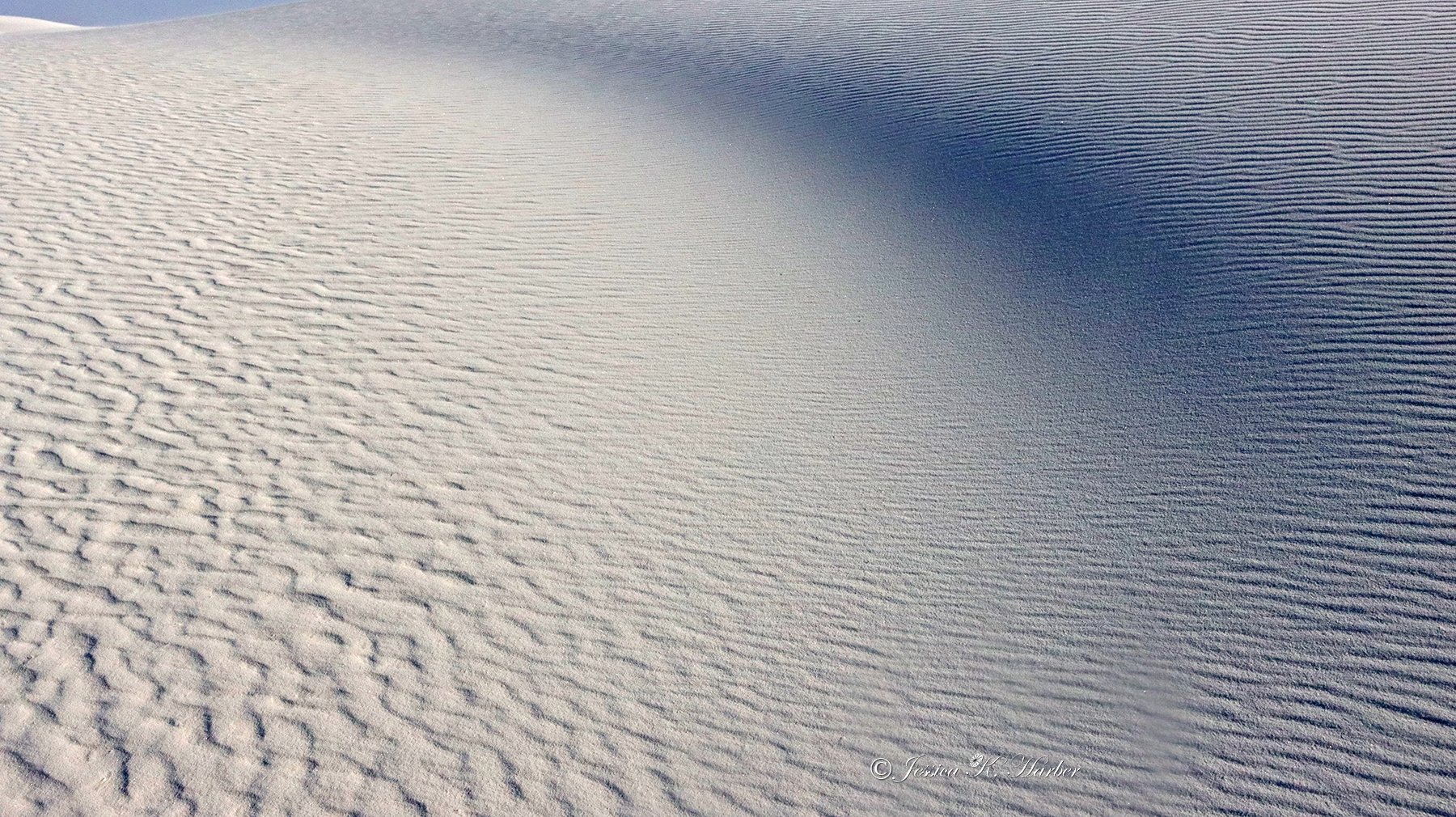
I enjoy seeing and photographing sand dunes because of the different patterns the wind makes in the sand and the way the light plays off the dunes. Sand is also challenging for me, though, because it is the absolute worst for camera equipment–even more so than water. If the sand is blowing, it can actually ruin equipment, so if that starts, I usually retreat to my vehicle or at least put away my camera(s).
There was not a great deal of wind, however, and I was somewhat able to take advantage of late afternoon light before leaving. I enjoyed this Park but, on this occasion, one afternoon was a long enough visit for me.
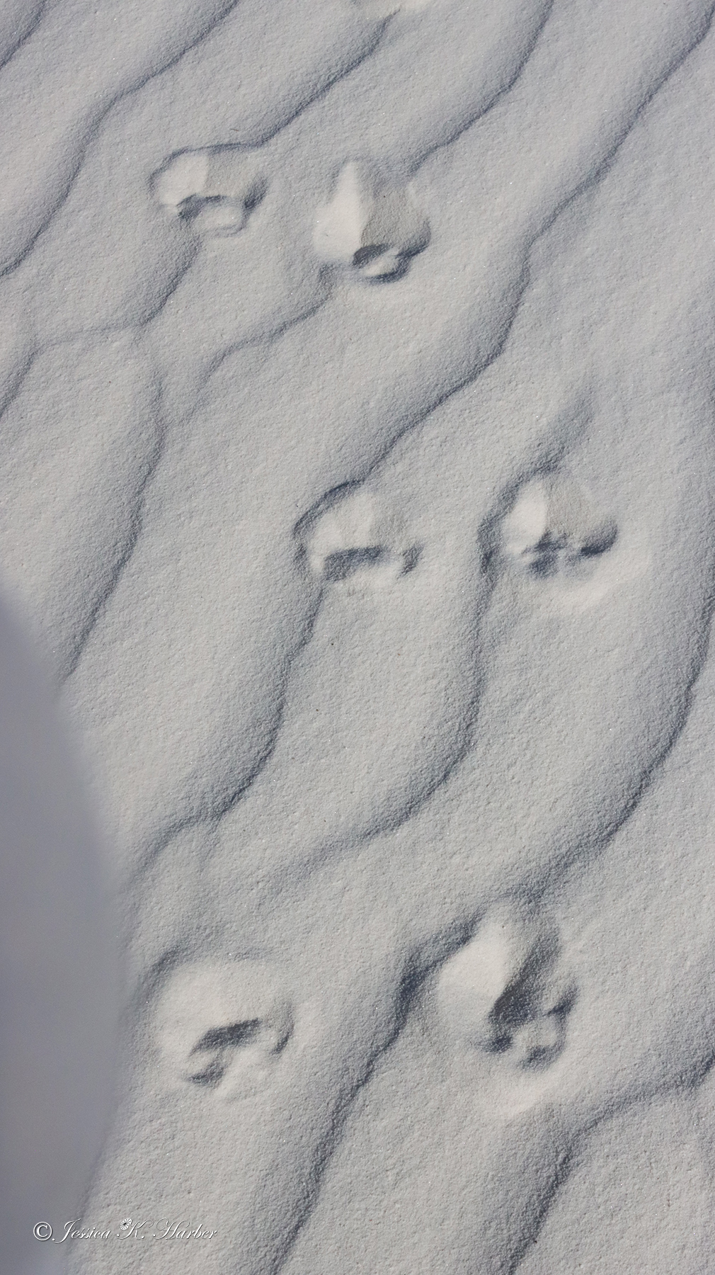
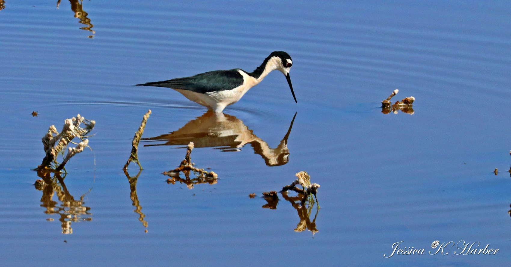
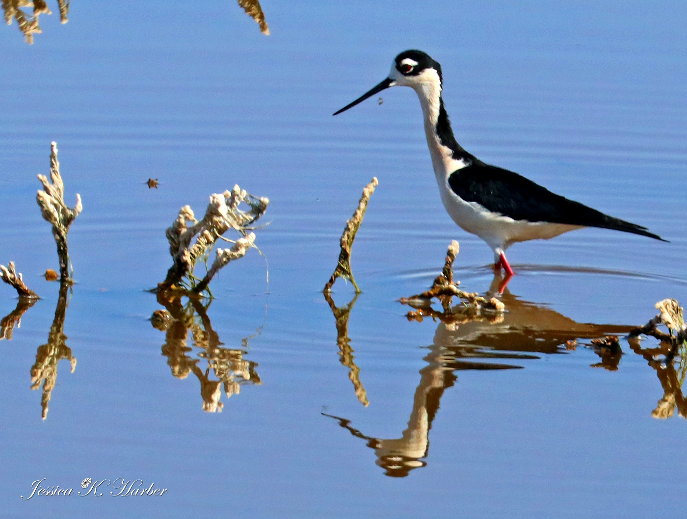
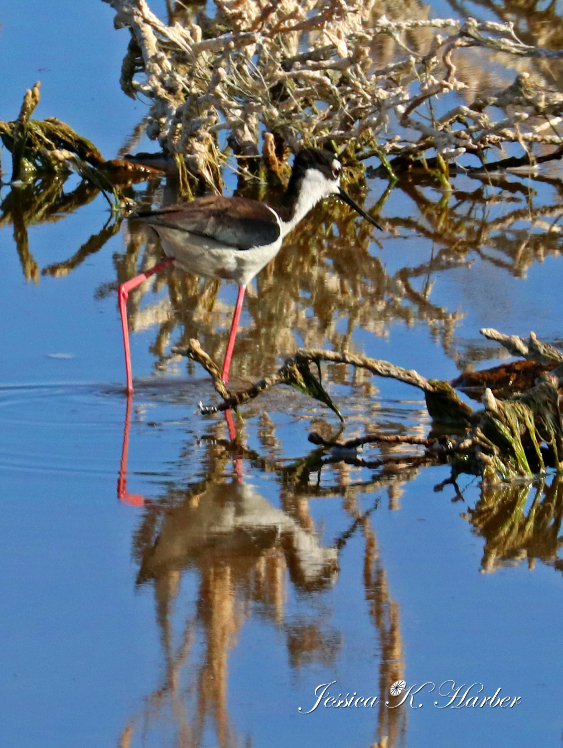
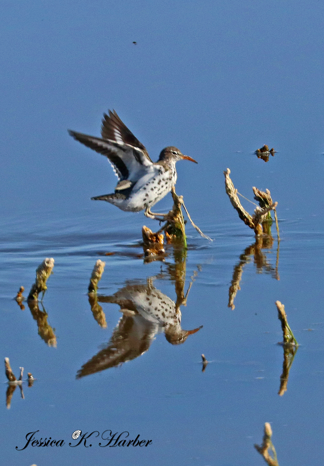
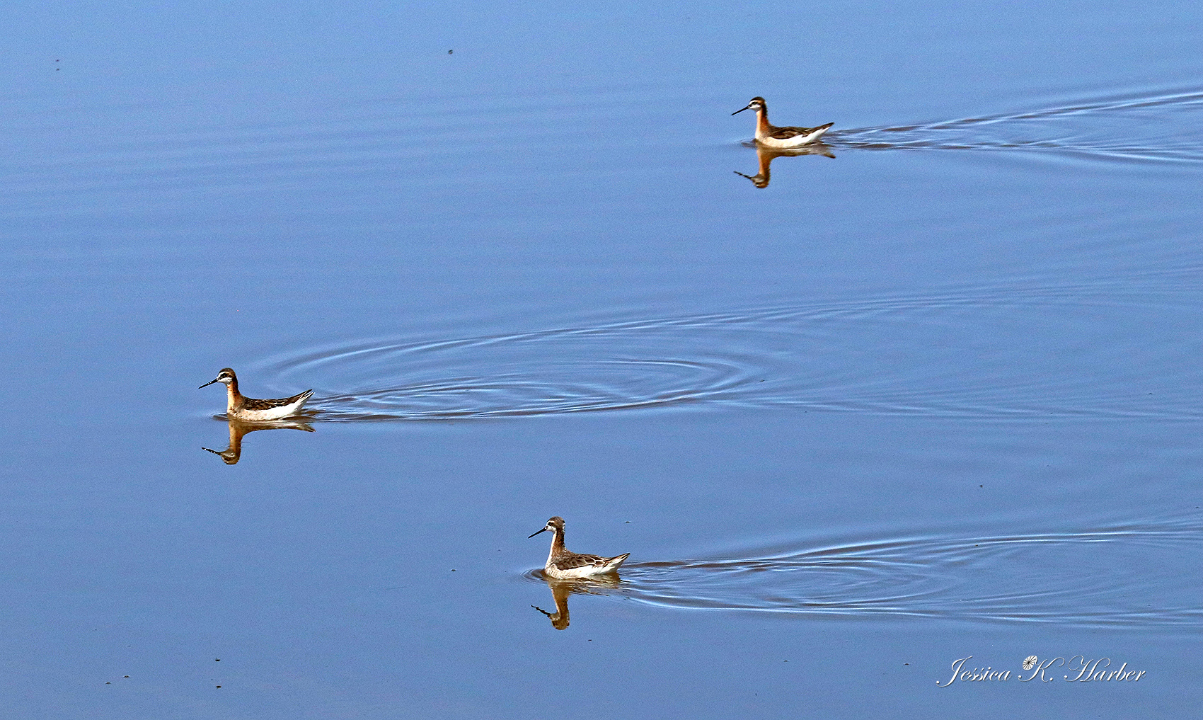
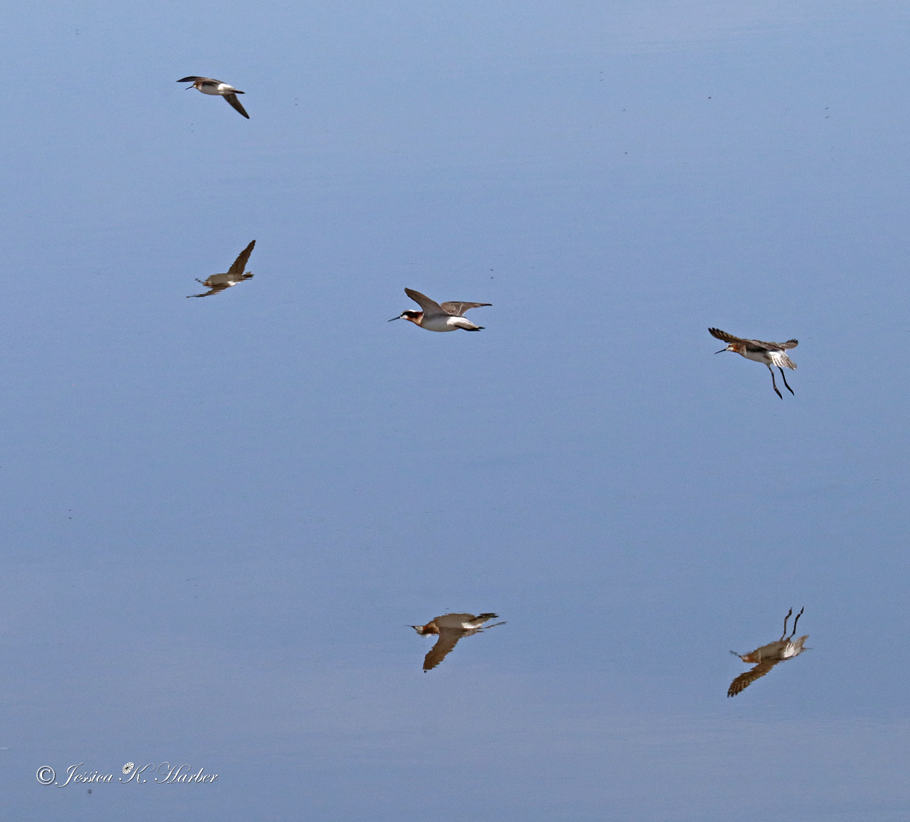
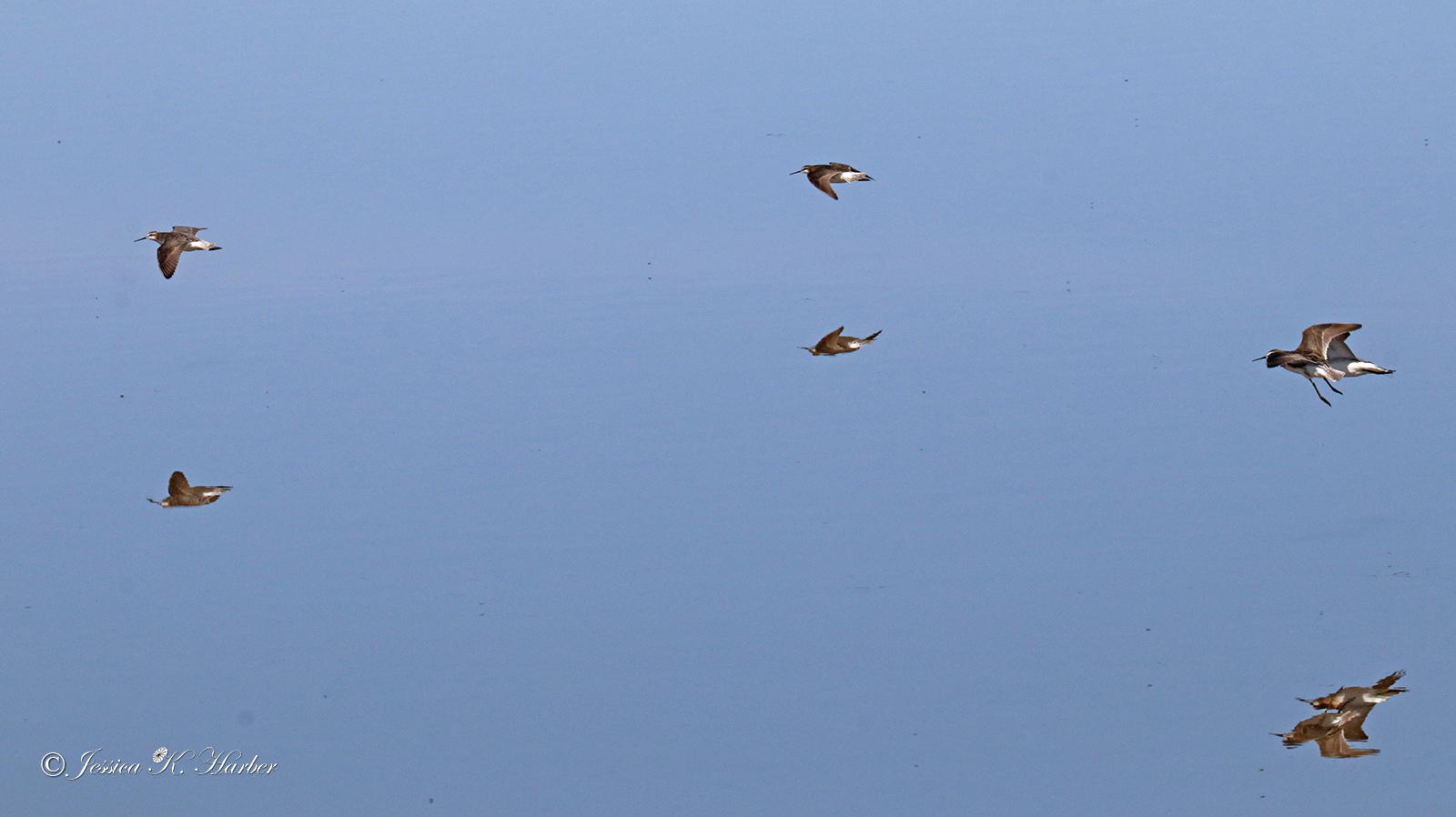
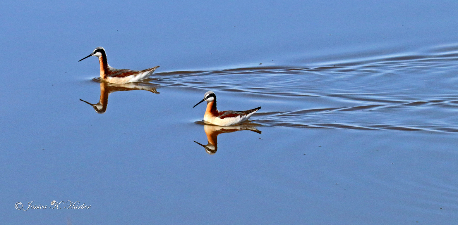
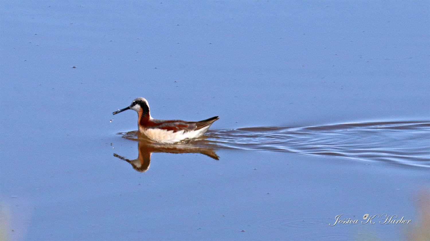
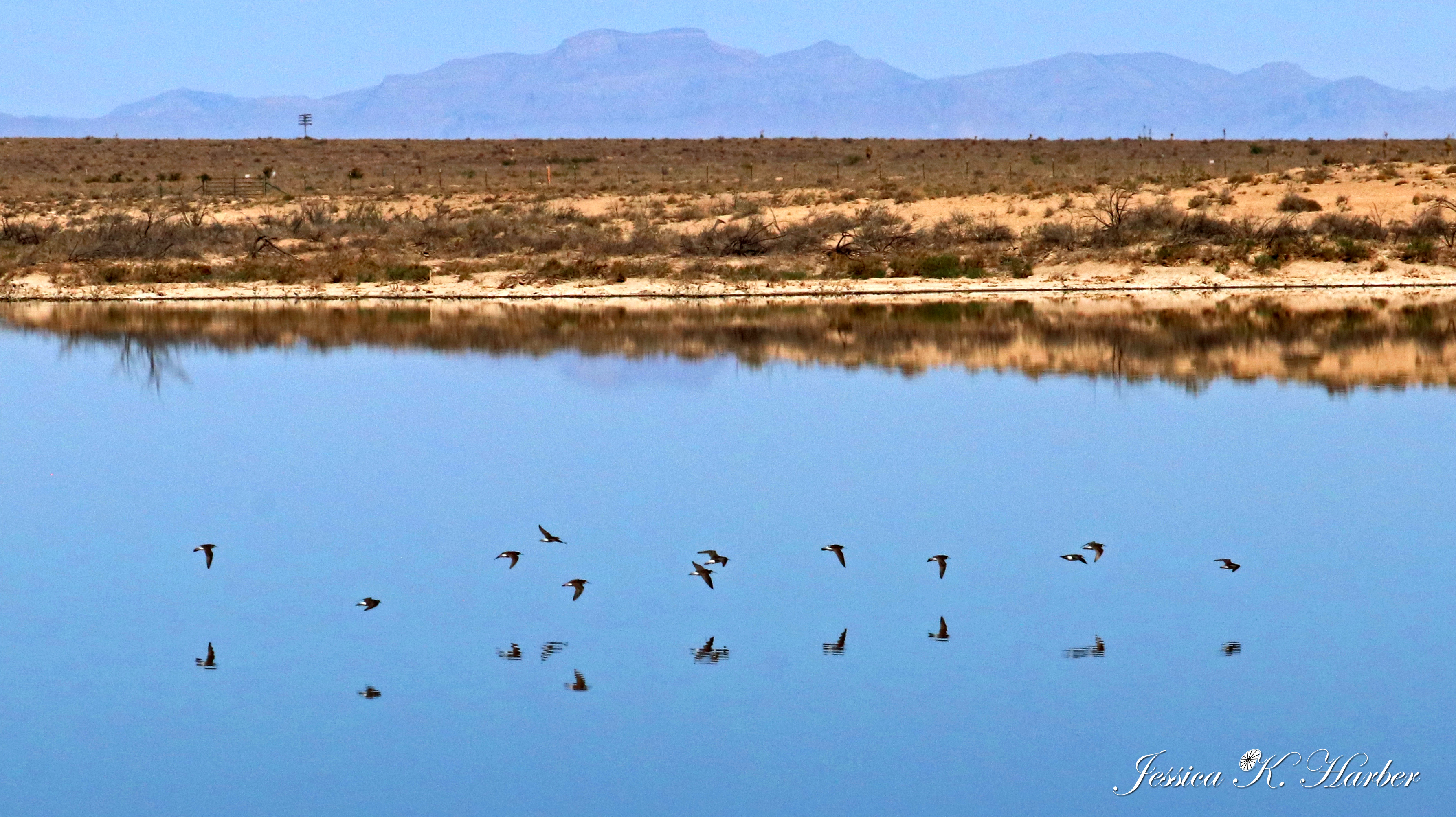
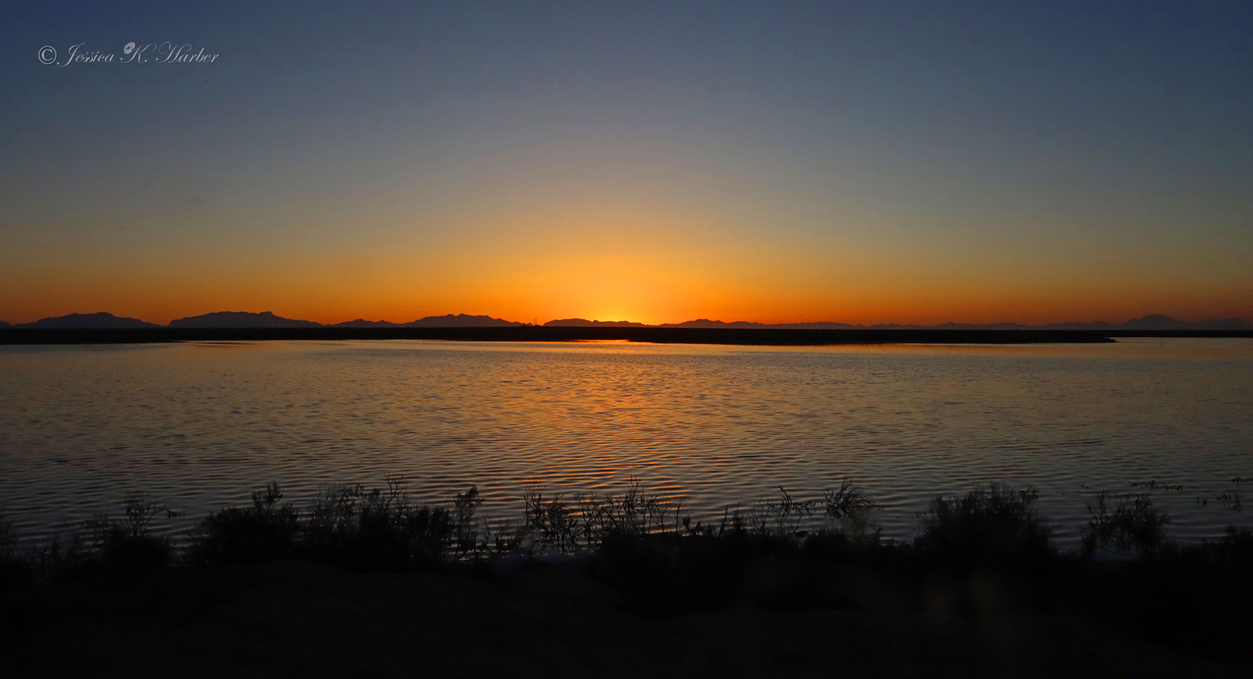
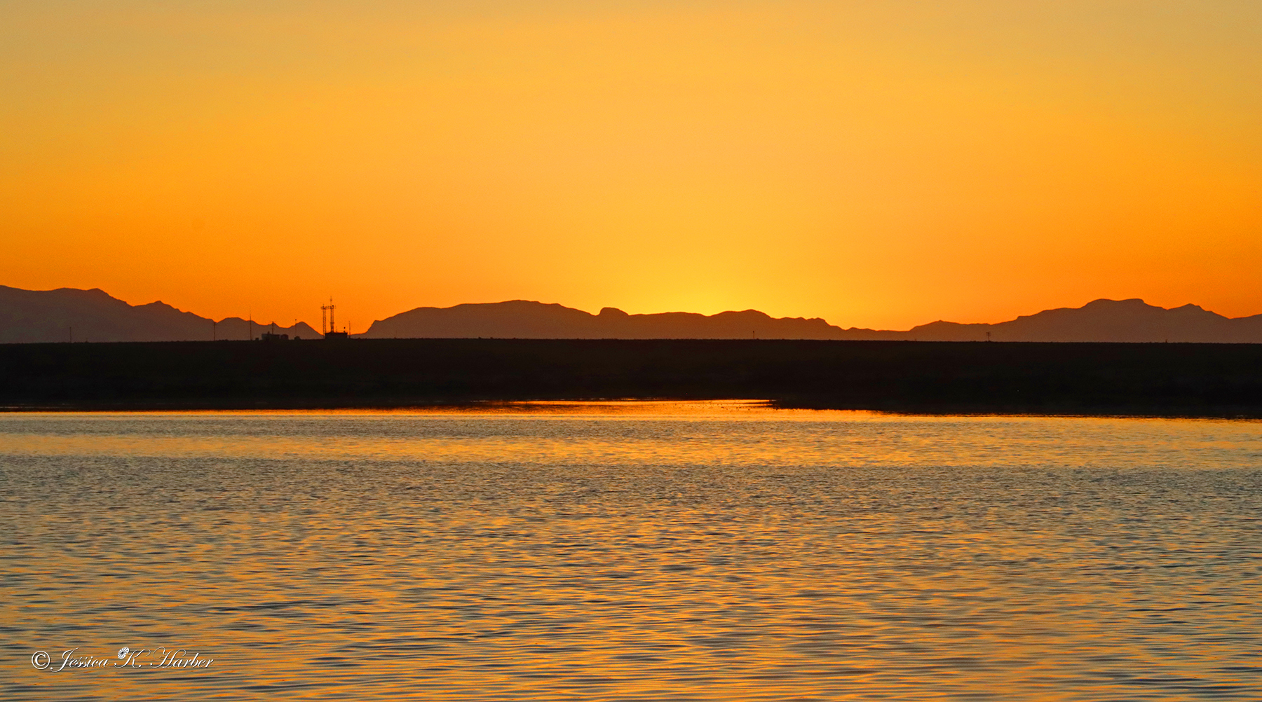
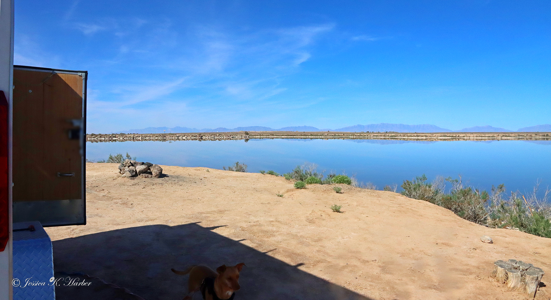
Before my arrival, I had scoped out a dry camping spot which was quite close by. It was by an evaporation pond and signs said not to use the water in any fashion. The birds used it, however, and it made for some nice reflection photographs. There were no amenities here, but it was a great, easy-to-access location with space for several rigs next to the water.
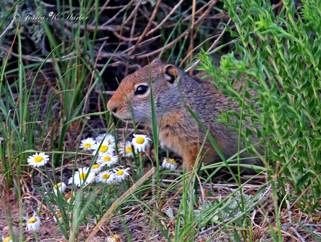
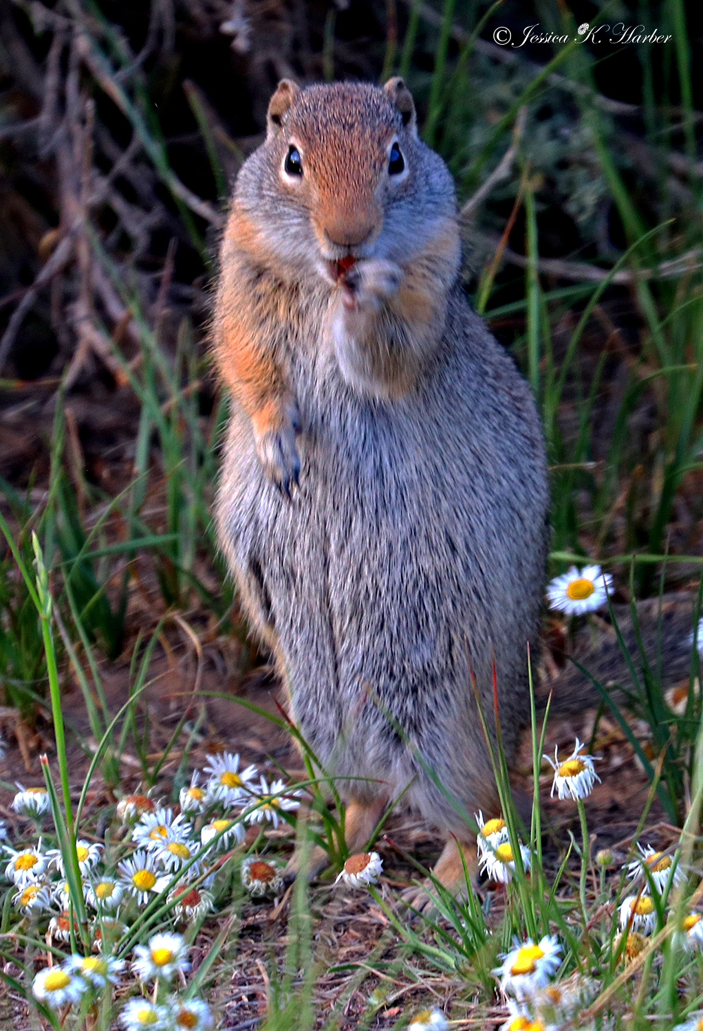
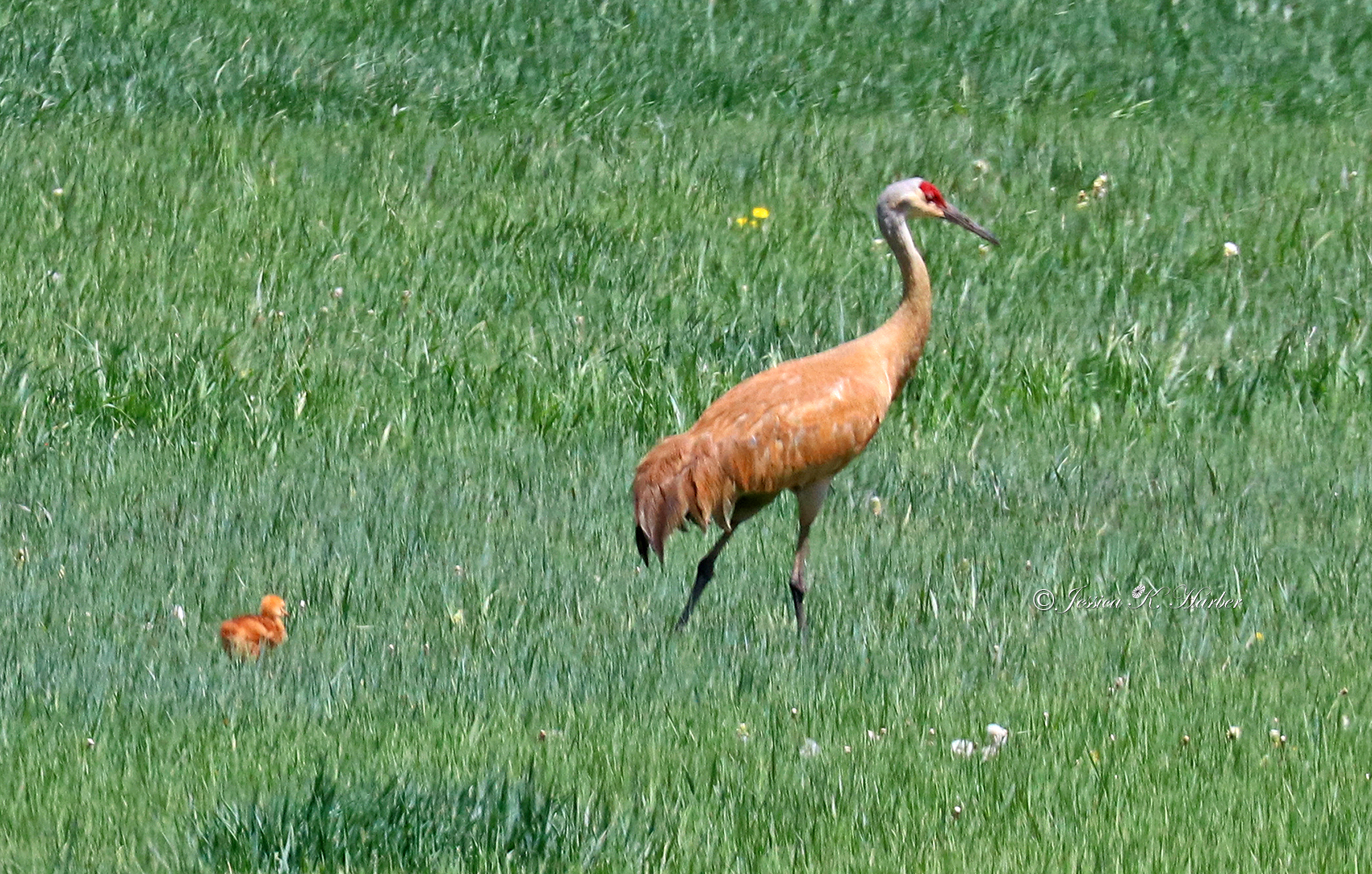
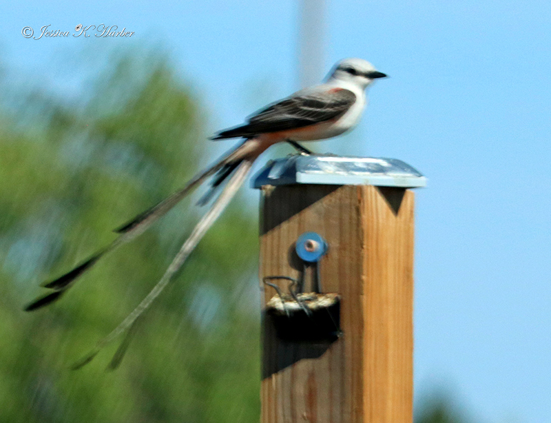
[Thanks to the Facebook bird group “What’s this Bird? – American Birding Association (ABA)” for help with identifications.]
NEW MEXICO. MAY.


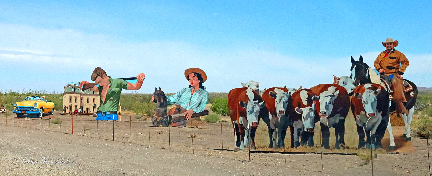
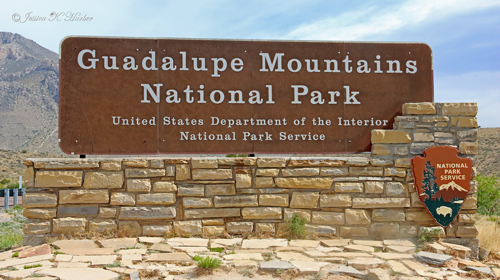
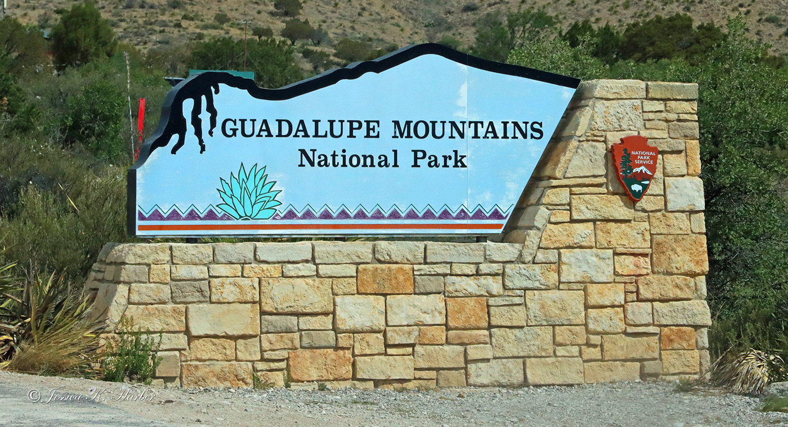
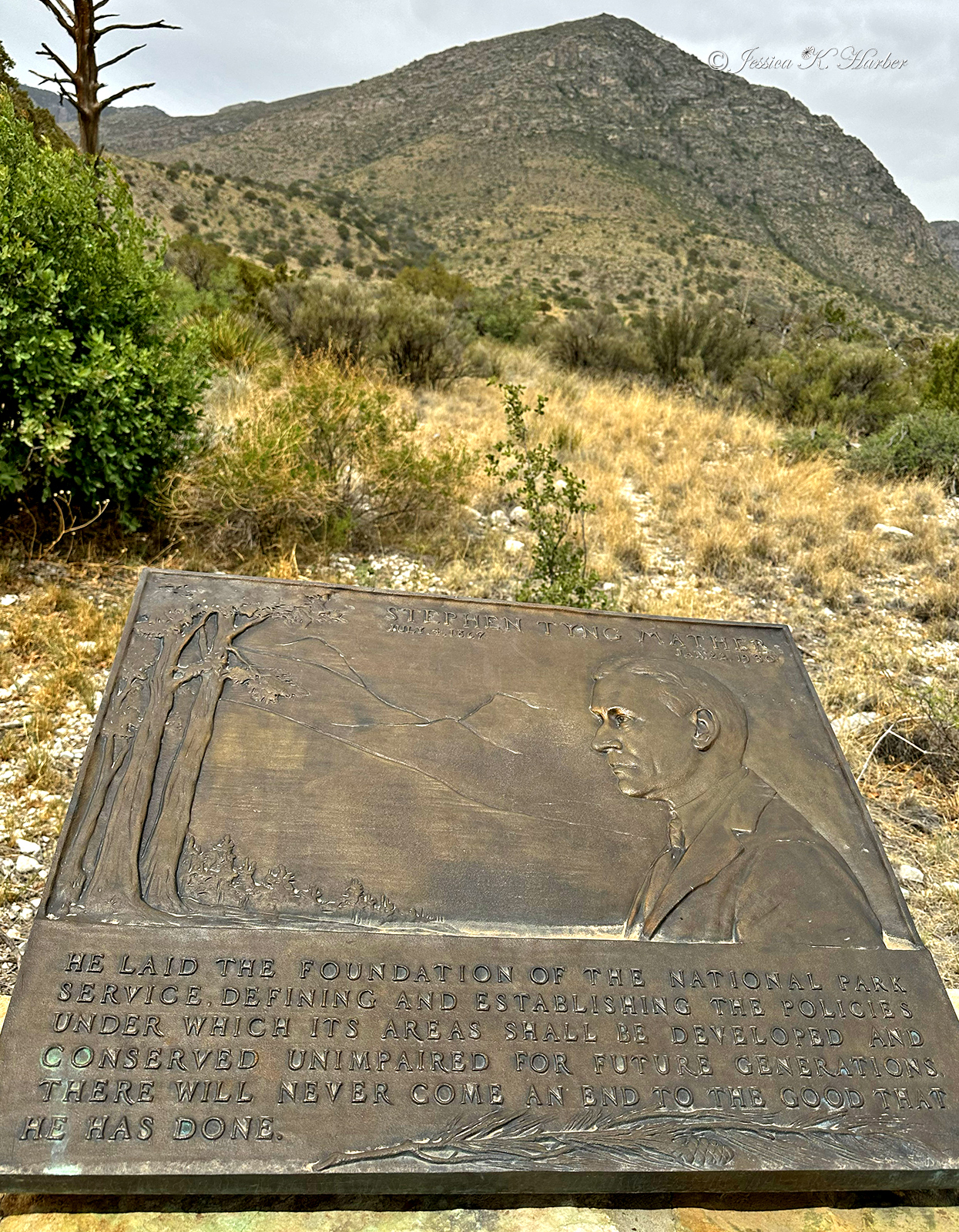
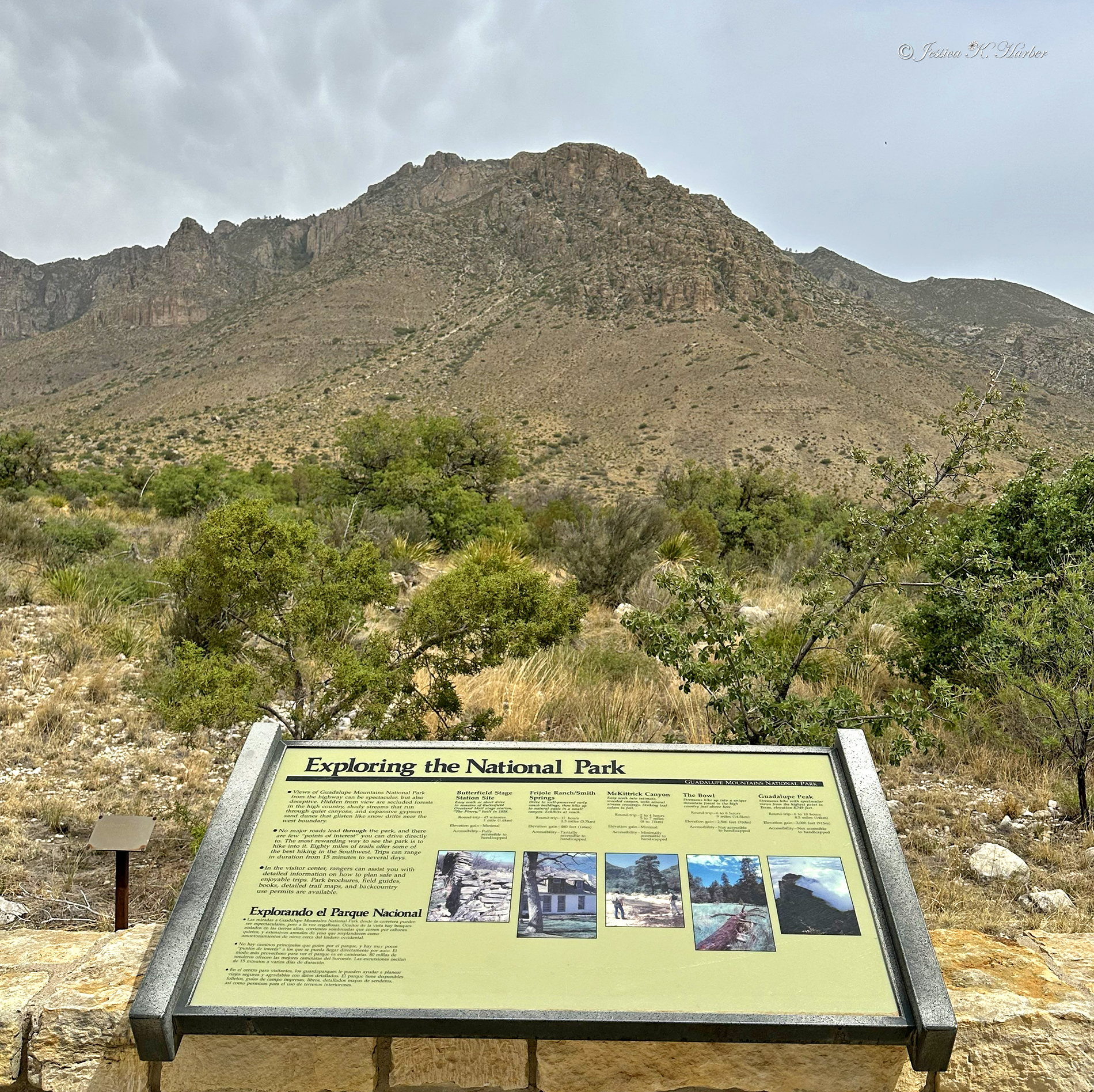
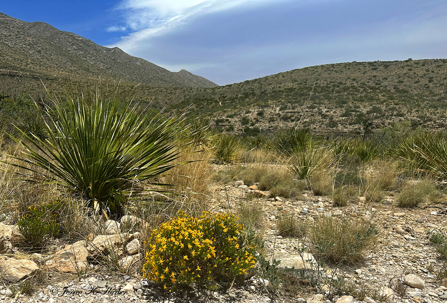
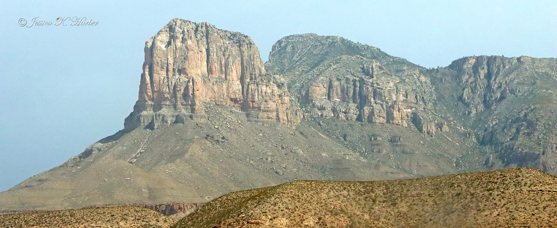
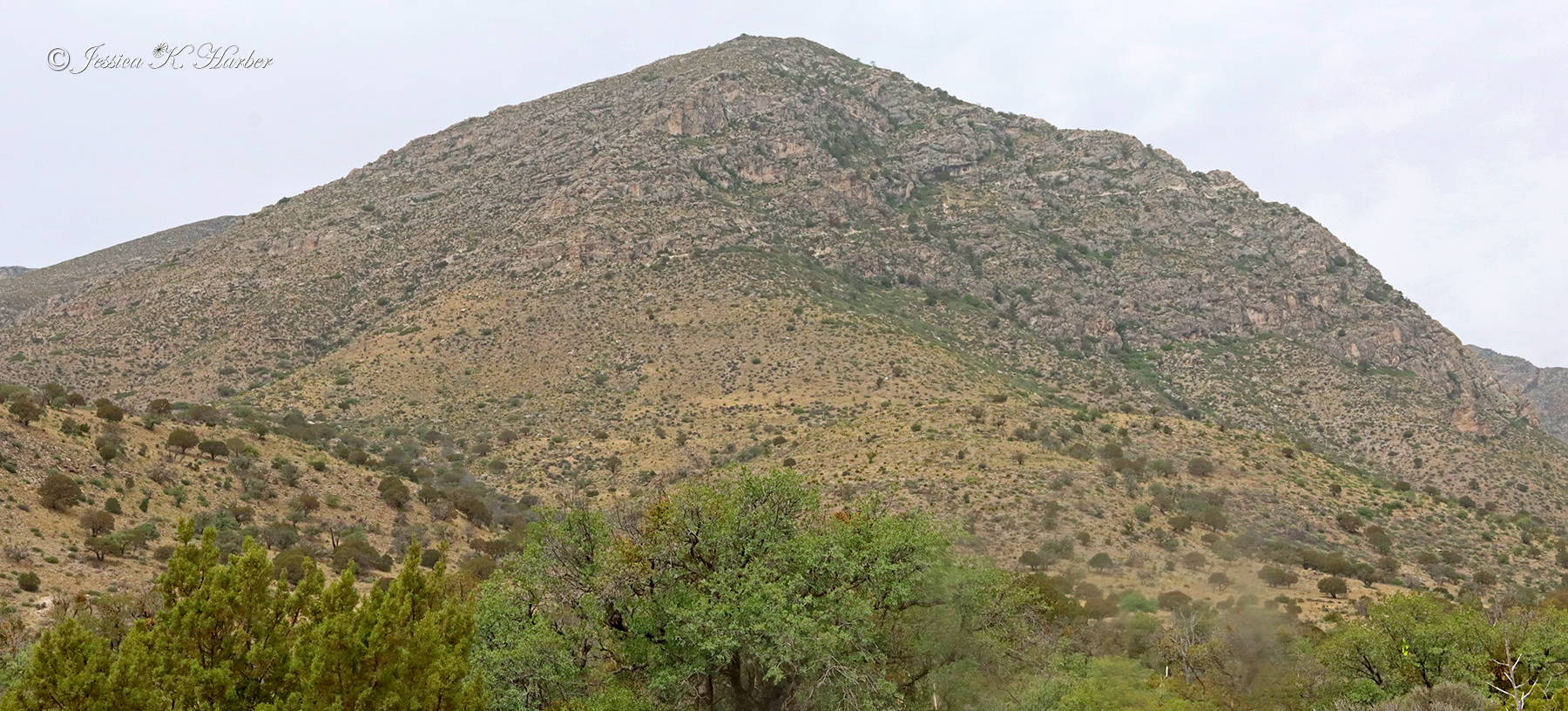
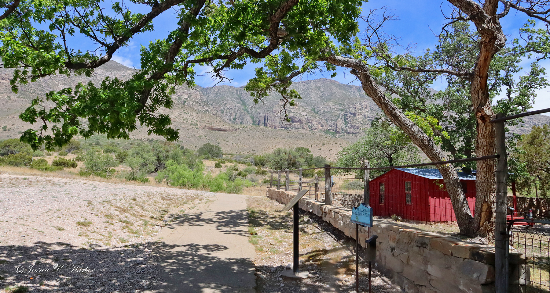
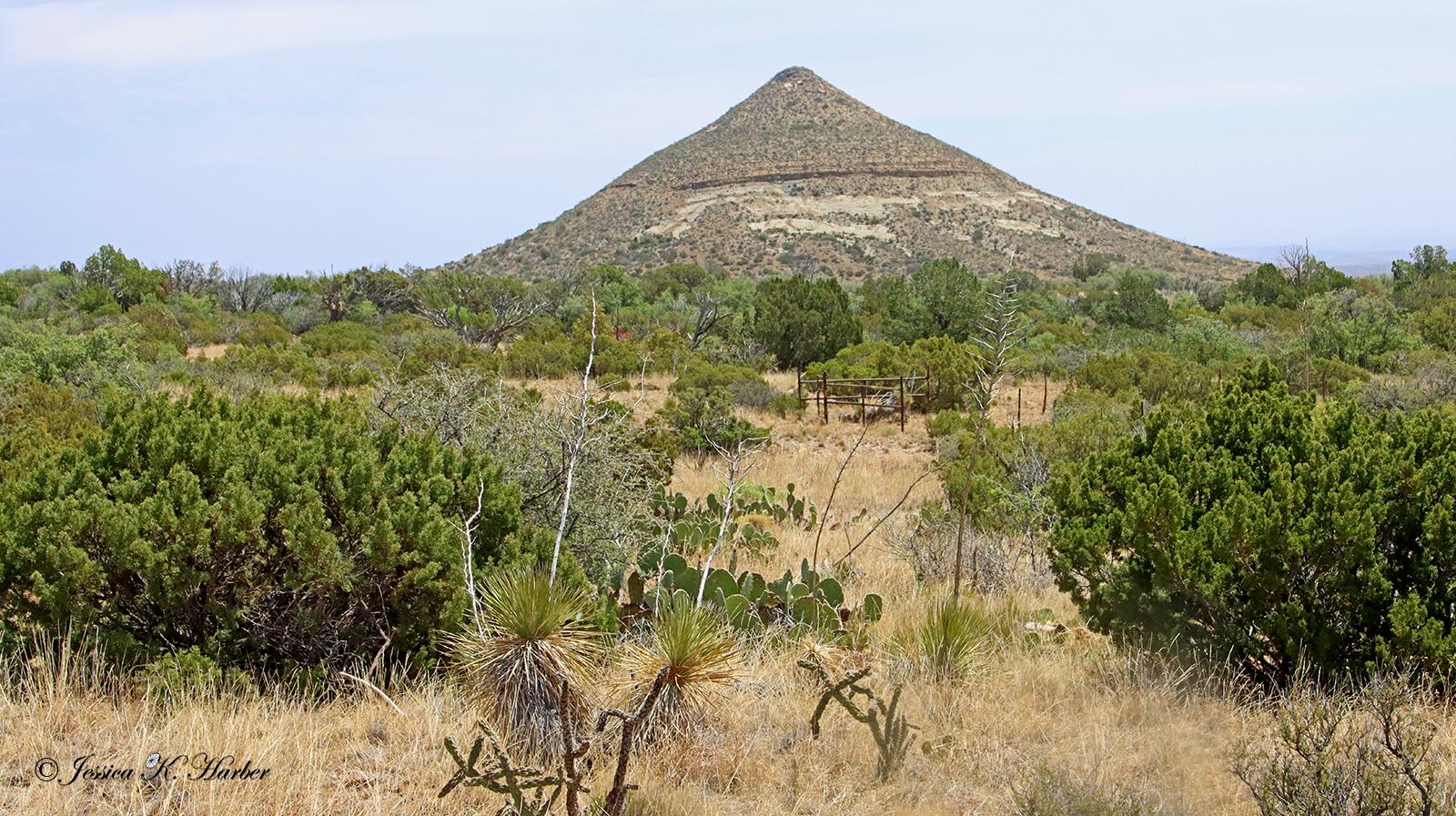
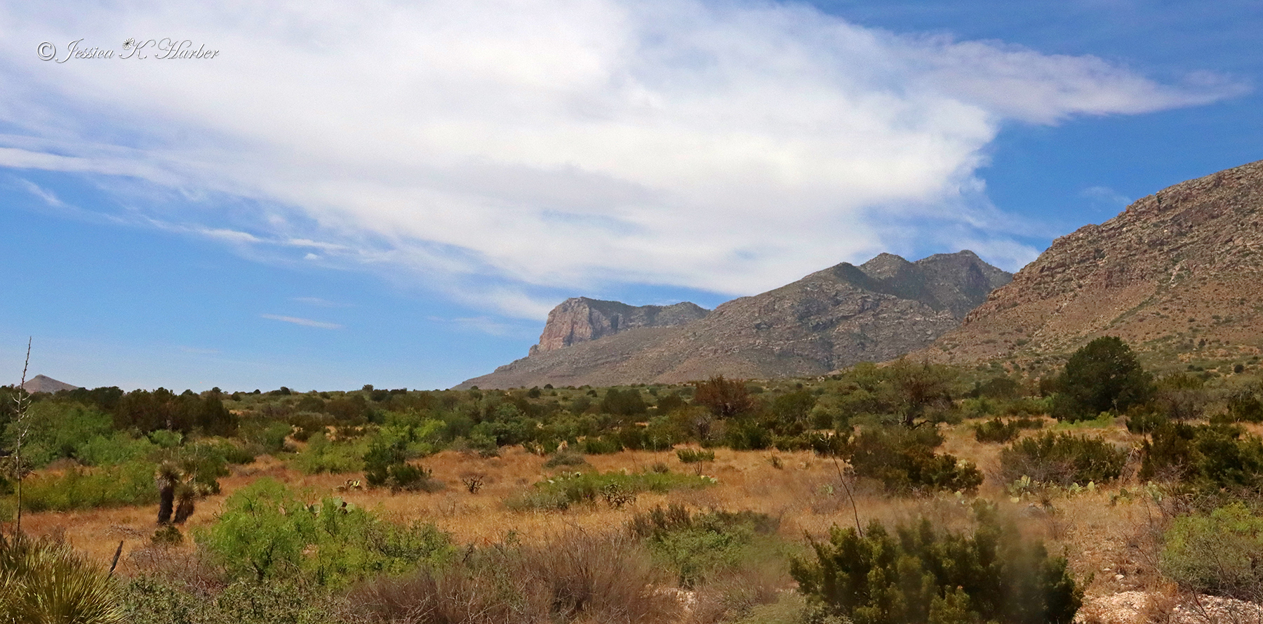
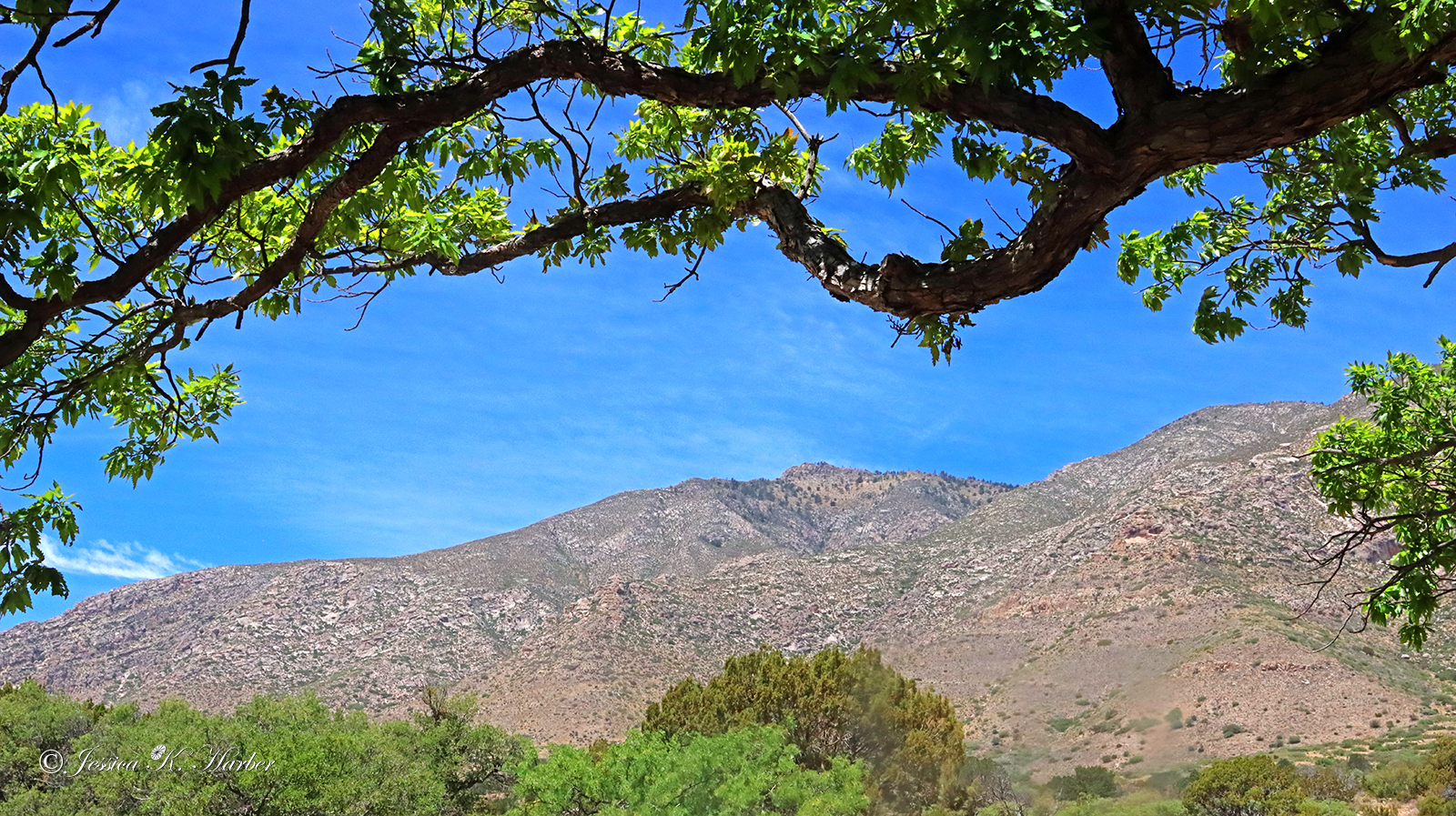
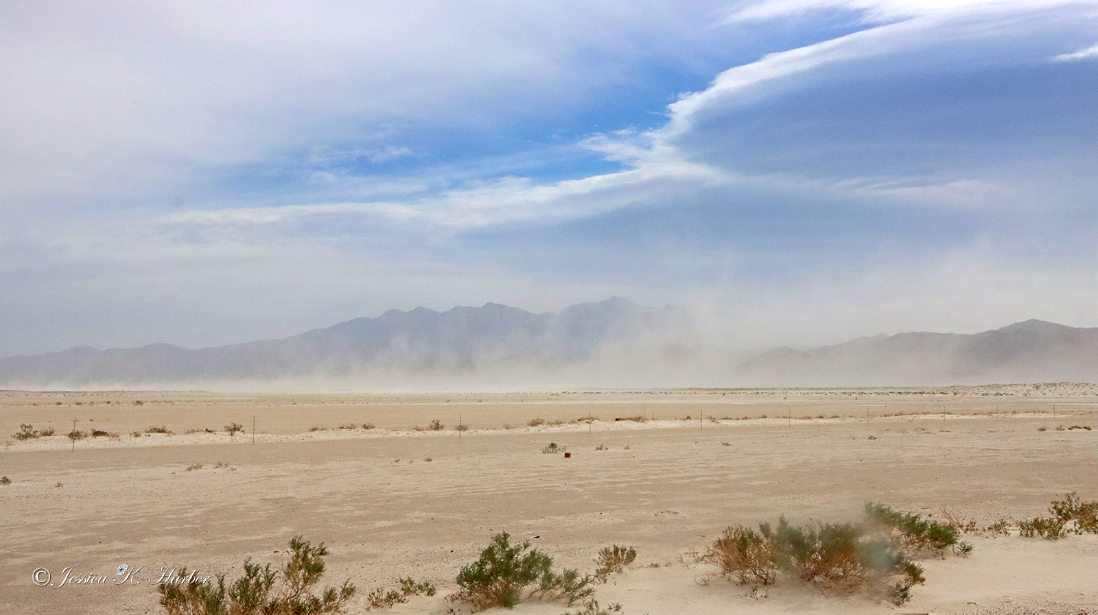
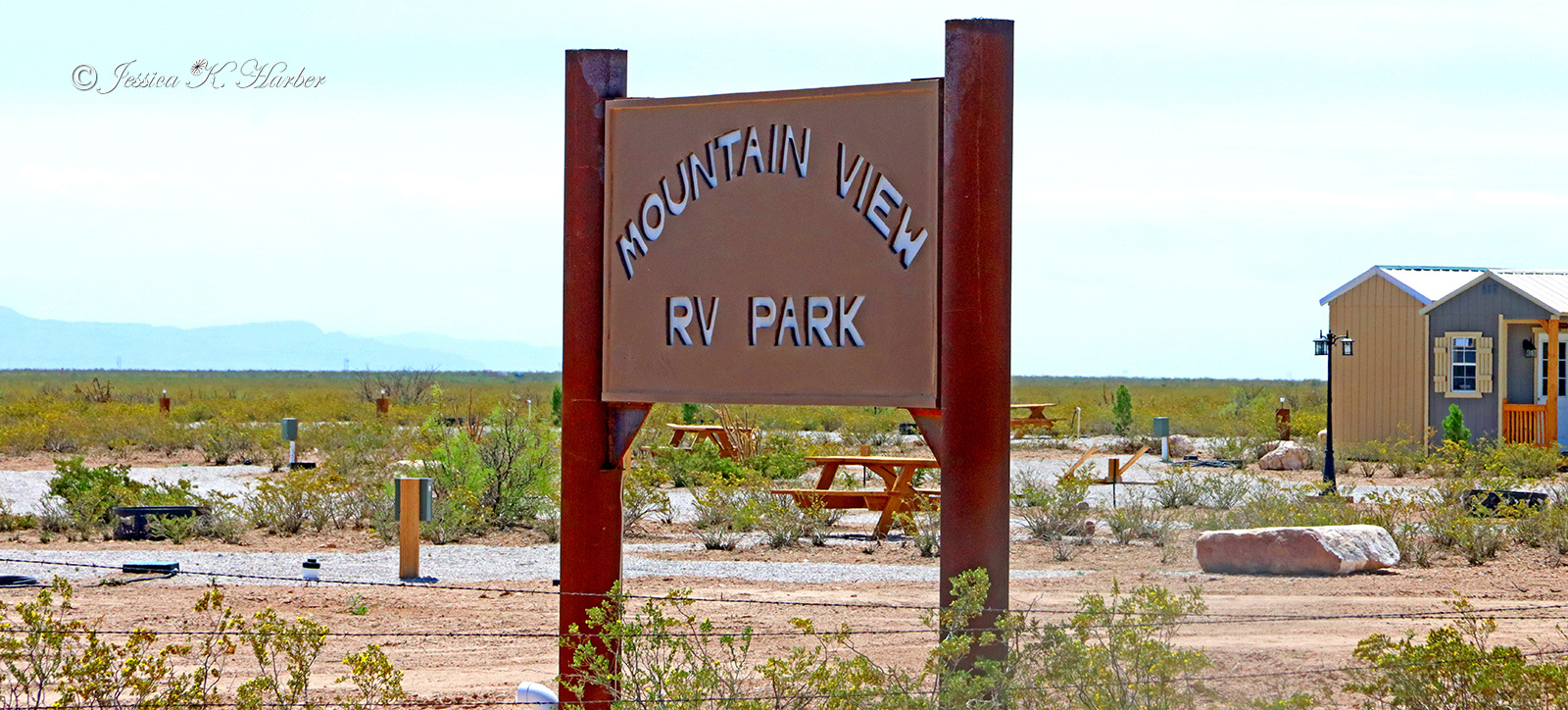
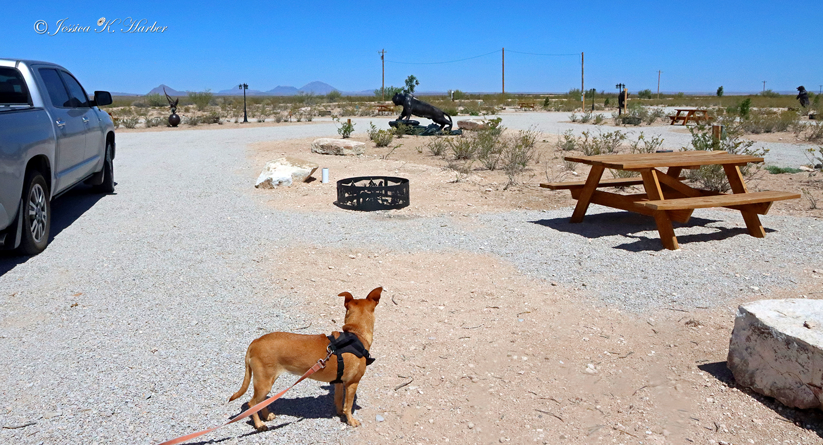
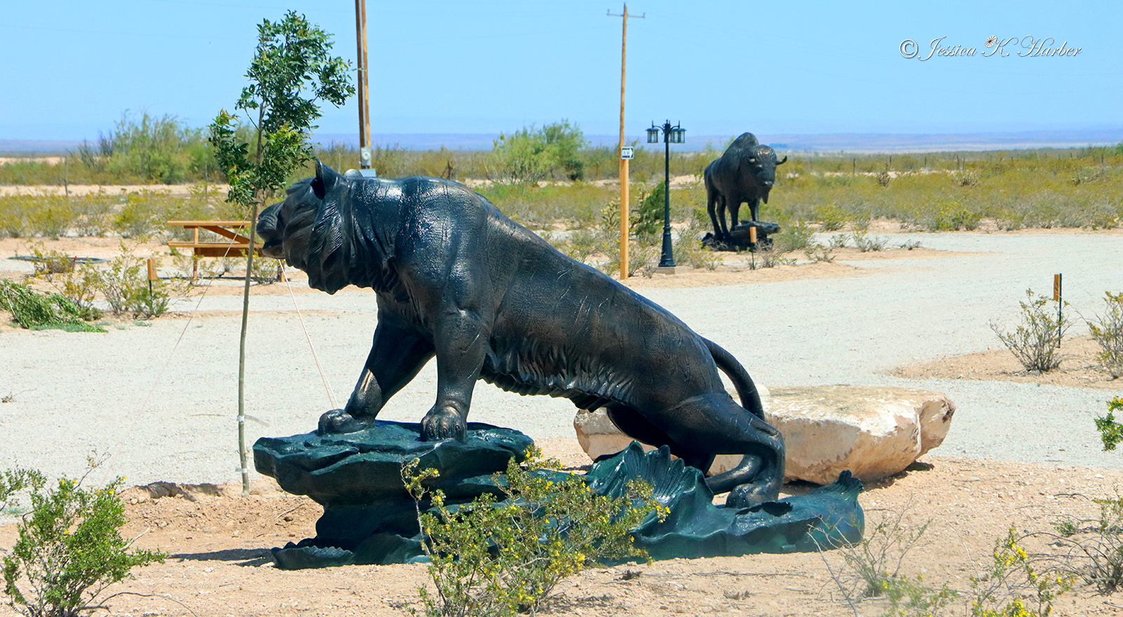
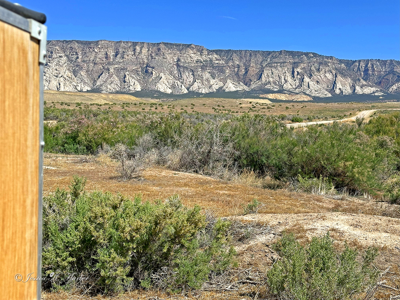
I headed toward the Guadalupe Mountains next. This national park is in a very remote area where fuel–along with everything else–is hard to find. I ended up staying in an almost-empty, privately-owned campground that I found by literally driving by. No one was there but I peeked in at a brand-new bathroom with showers as well as a small but also brand-new laundromat. In the middle of nowhere, those were a very welcome sight, so I decided to stay. It took a little work to find out how to pay. I came to find out the owner (whose house was a few hundred yards off the highway behind the campground) was on vacation in Alaska(!) but I called & was able to pay him over the phone. He was extremely nice and he told me his uncle was keeping an eye on the place while they were gone. I later met Dave, the uncle, who was also very nice. It’s so comforting to find good folks when one is in the middle of nowhere! Their place was some distance from the Park but still served well as a base while I explored the area. I ended up staying an extra day because, of all things, a sandstorm which dangerously affected visibility on the highway leading to the Park.
At the campground, I met a young German man named Philip who was/is exploring the U.S. He was very nice also and we found we had photography in common. His work is very good.
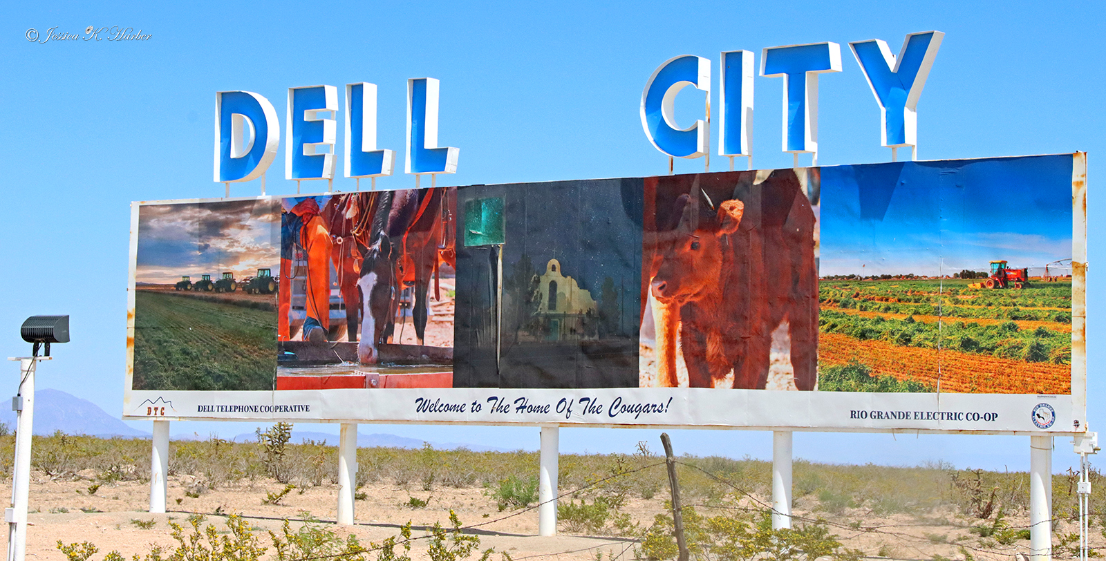
This area counted among the top three or so of the “most remote”, especially when it came to fuel. The tiny town of Dell, several miles away (opposite direction from the Park), had one or two mom-and-pop stations with either limited hours or limited paying options. It was definitely different but doable with help/info from local folks.
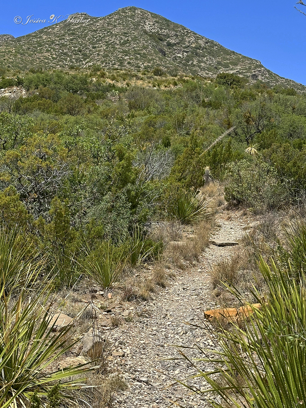
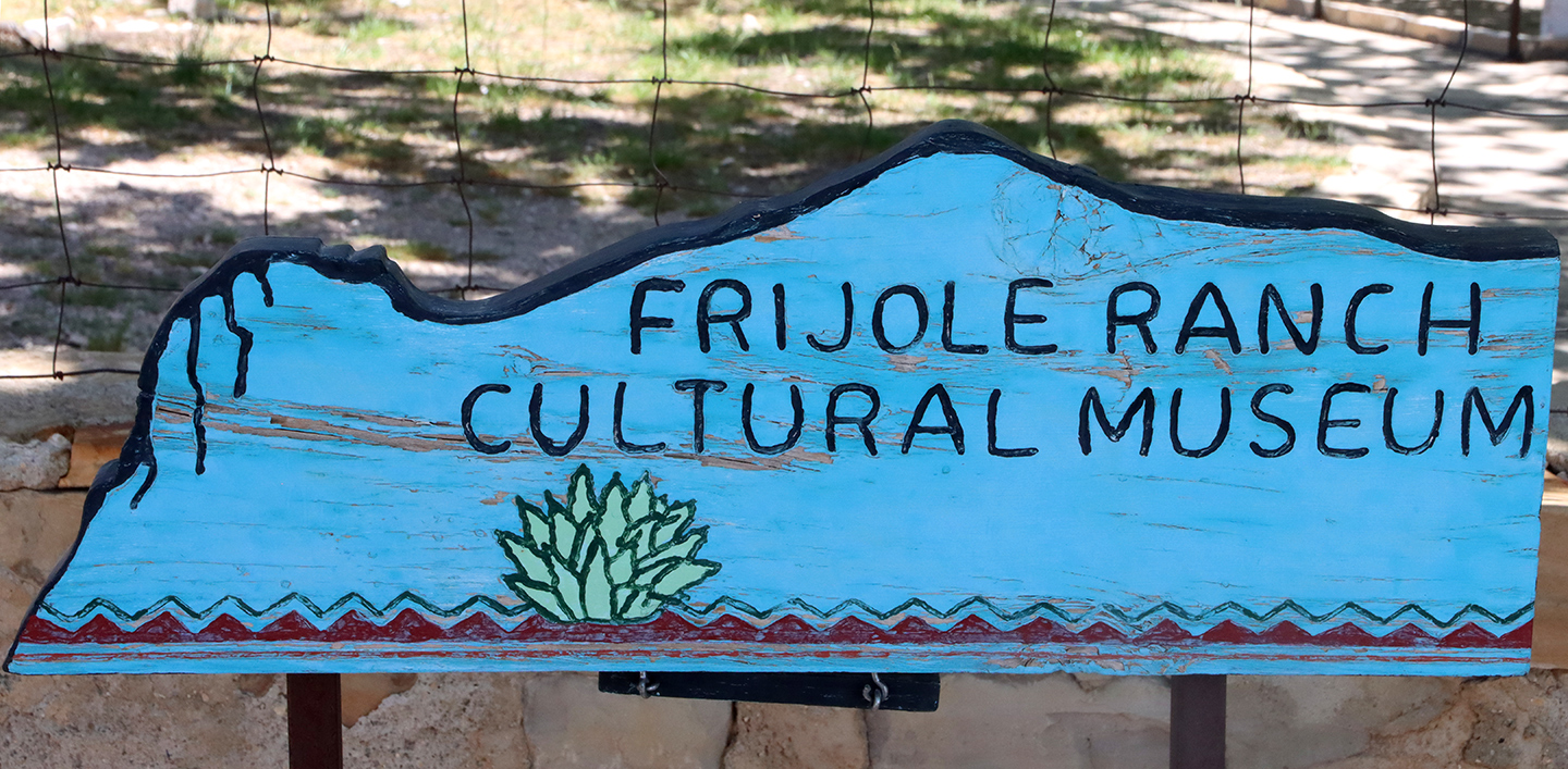
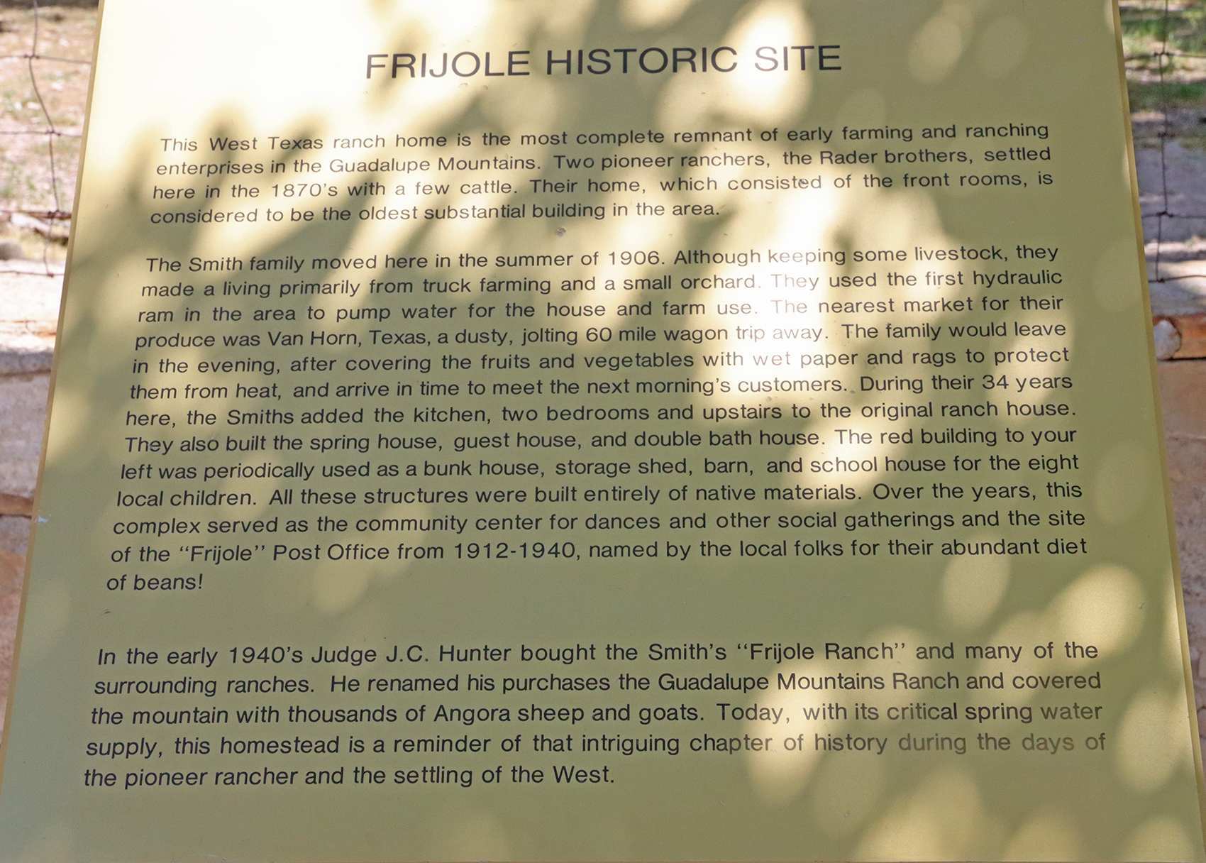
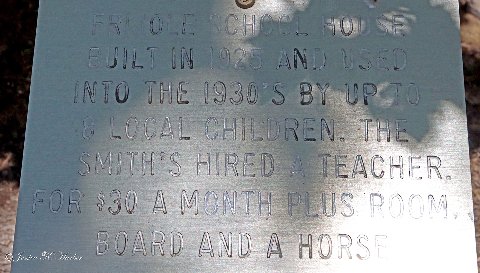
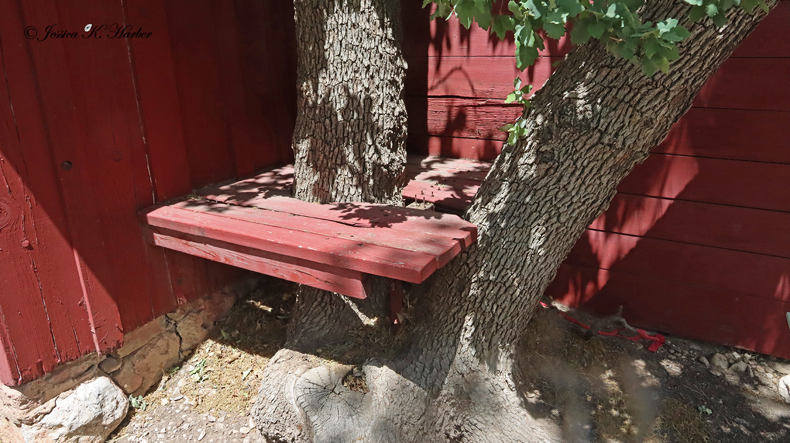
The Park was different, too, as it doesn’t have any roads *through* the Park. It is accessed only through formidable hikes. After visiting the visitor center (which was good), I took a short hike on the outskirts and explored an interesting historic ranch. The other hikes were too long for me, and Sadie wasn’t allowed on any of them, anyway. Maybe return at a cooler time of year & when I’m in better hiking shape…?
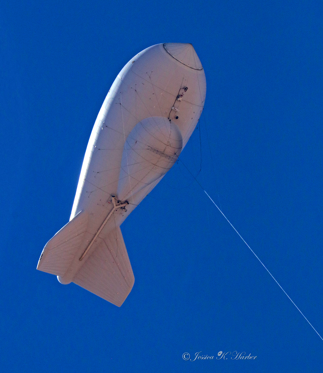
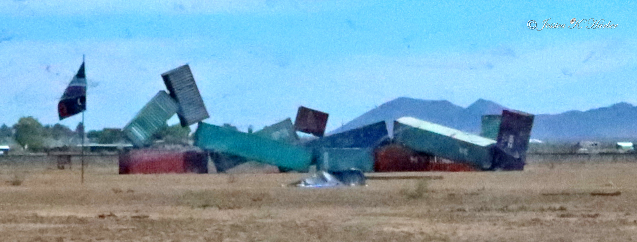
Also, the wind was absolutely crazy here. I don’t know if it’s always like this, but no matter how tight my ballcap was “fastened” on, it still kept blowing off. Had to go around with hat hair. An example of the wind is included in the video after the gallery, below.
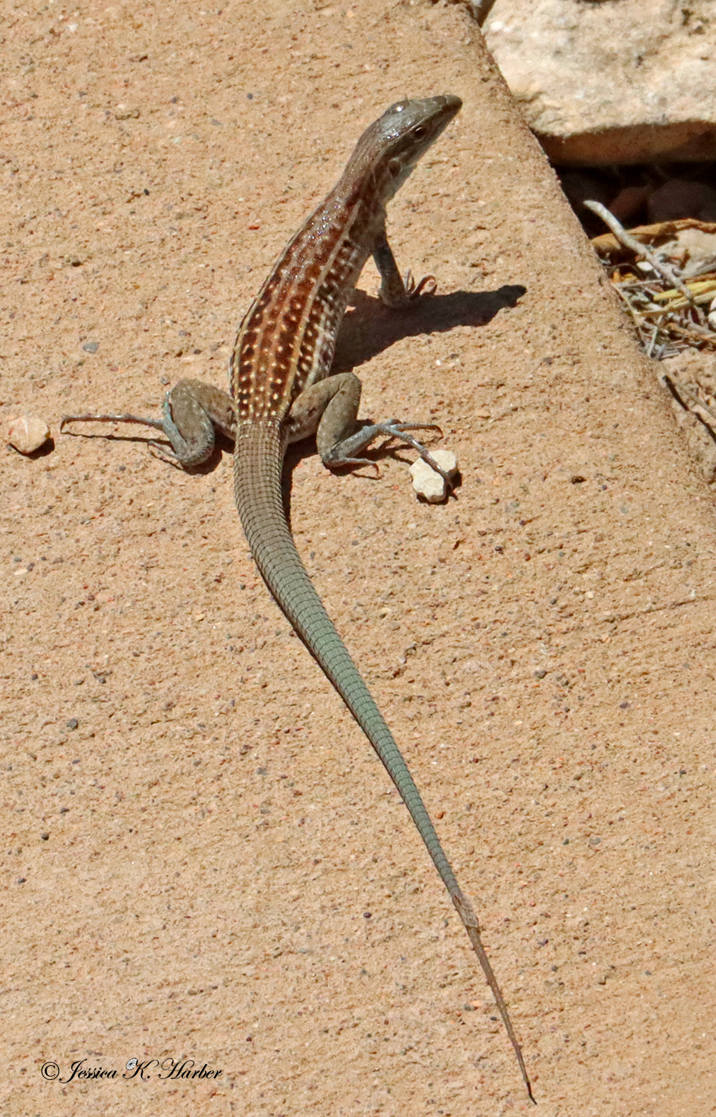
(more info in captions)
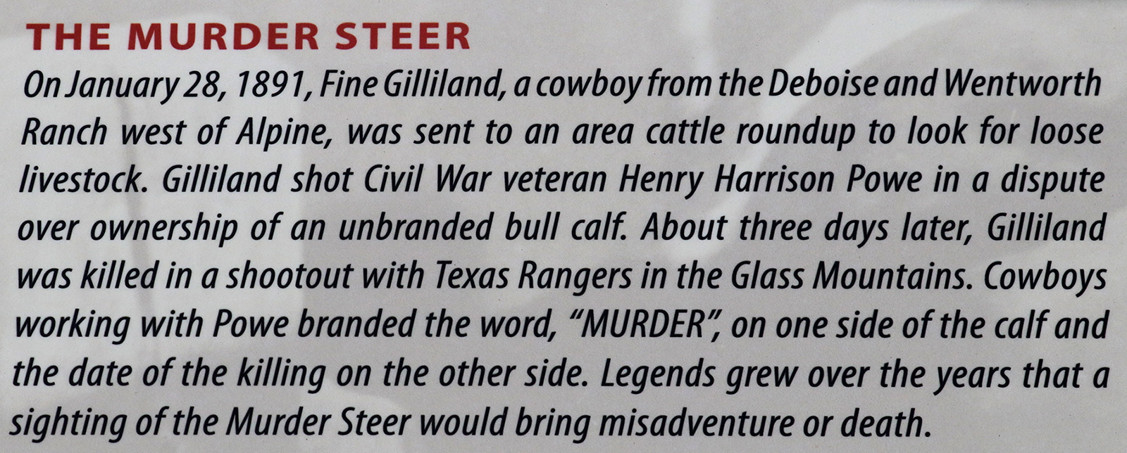
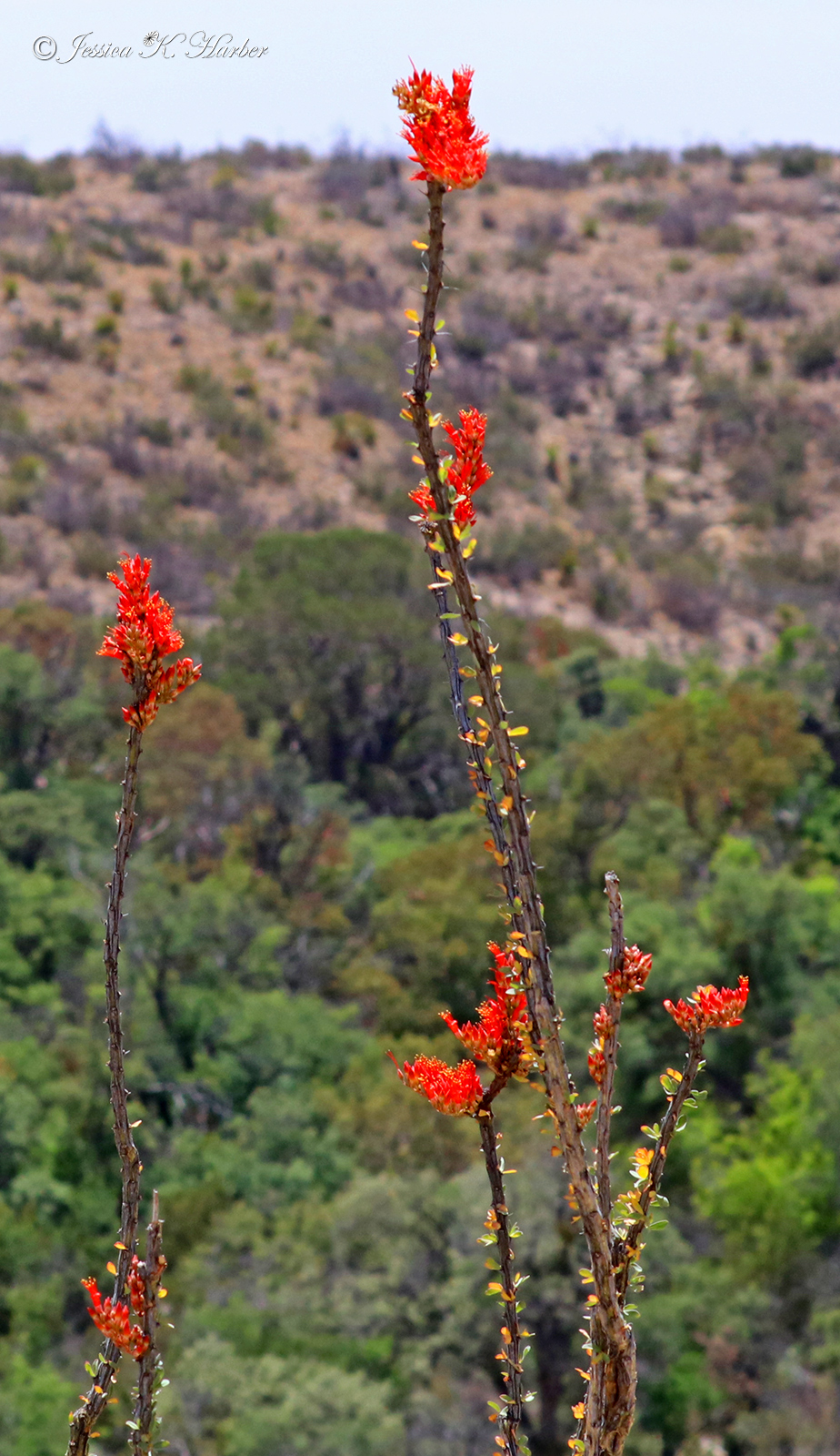
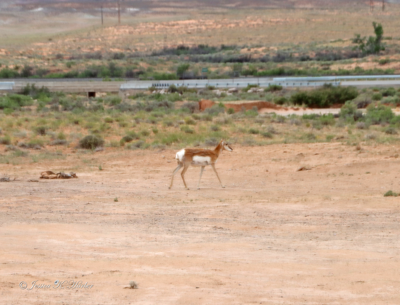
TEXAS. MAY.